[Folder for] Nautical Chart 11305: Texas Intracoastal Waterway, Laguna Madre, Rincon de San Jose to Chubby Island
-
Map/Doc
75913
-
Collection
General Map Collection
-
Object Dates
1976 (Creation Date)
-
Counties
Kenedy Willacy
-
Subjects
Nautical Charts
-
Height x Width
16.0 x 19.0 inches
40.6 x 48.3 cm
Part of: General Map Collection
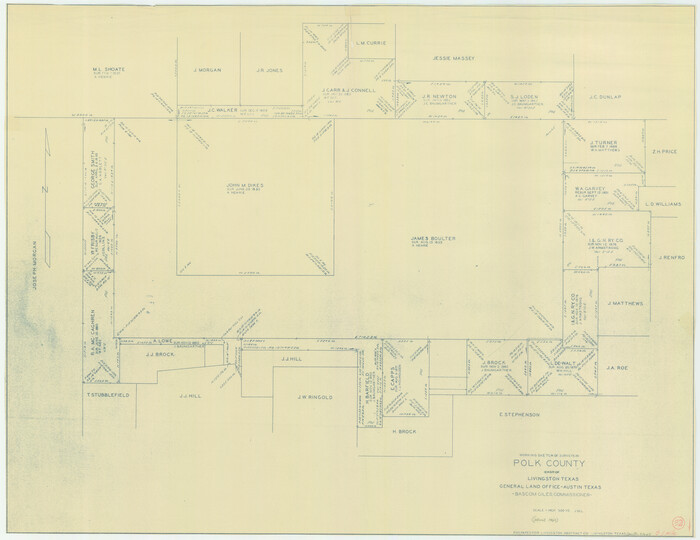
Polk County Working Sketch 32

Print $20.00
- Digital $50.00
Polk County Working Sketch 32
1960
Size 28.8 x 37.3 inches
Map/Doc 71648
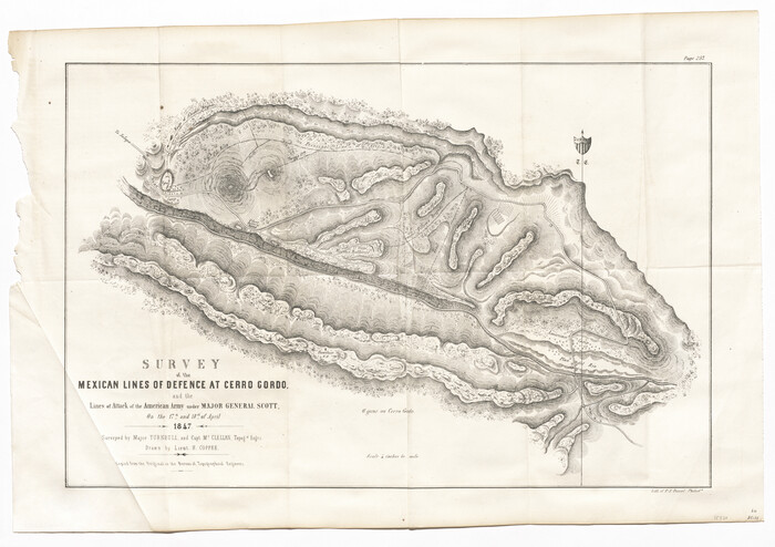
Survey of the Mexican Lines of Defence at Cerro Gordo, and the lines of attack of the American Army under Major General Scott, on the 17th and 18th of April, 1847

Print $20.00
- Digital $50.00
Survey of the Mexican Lines of Defence at Cerro Gordo, and the lines of attack of the American Army under Major General Scott, on the 17th and 18th of April, 1847
1847
Size 15.3 x 21.6 inches
Map/Doc 95830
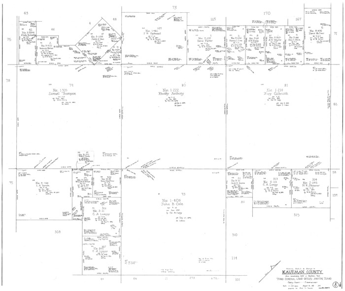
Kaufman County Working Sketch 8

Print $20.00
- Digital $50.00
Kaufman County Working Sketch 8
1987
Size 35.7 x 42.3 inches
Map/Doc 66671
Flight Mission No. DCL-6C, Frame 3, Kenedy County
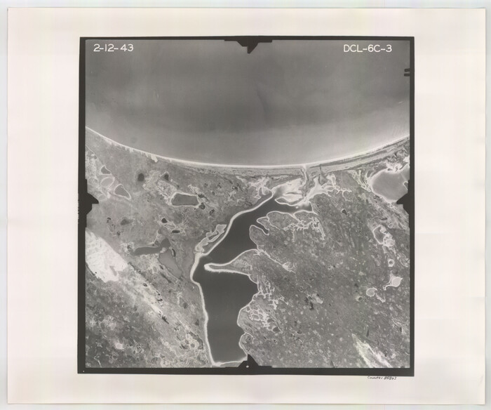

Print $20.00
- Digital $50.00
Flight Mission No. DCL-6C, Frame 3, Kenedy County
1943
Size 18.8 x 22.5 inches
Map/Doc 85863
Morris County Rolled Sketch 2A
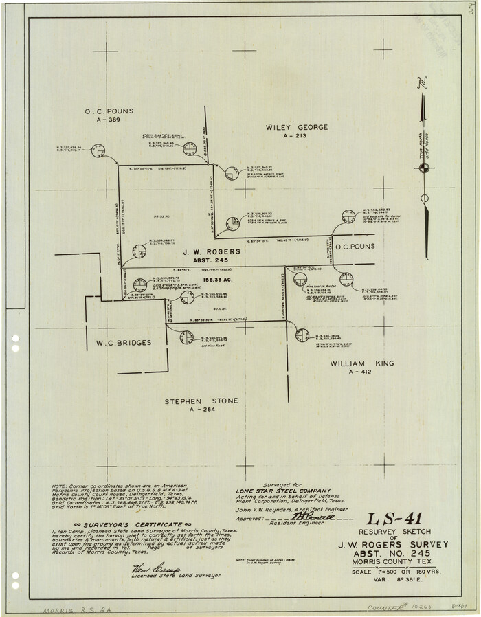

Print $20.00
- Digital $50.00
Morris County Rolled Sketch 2A
Size 22.2 x 17.3 inches
Map/Doc 10265
Edwards County Working Sketch 61


Print $20.00
- Digital $50.00
Edwards County Working Sketch 61
1954
Size 21.0 x 40.3 inches
Map/Doc 68937
Houston County Working Sketch 10
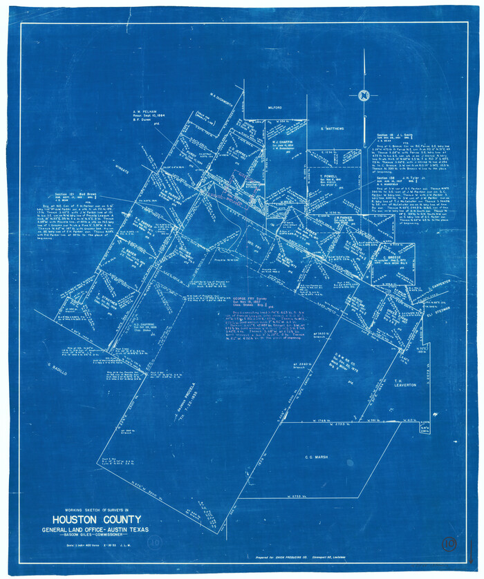

Print $20.00
- Digital $50.00
Houston County Working Sketch 10
1953
Size 32.7 x 27.3 inches
Map/Doc 66240
Controlled Mosaic by Jack Amman Photogrammetric Engineers, Inc - Sheet 14
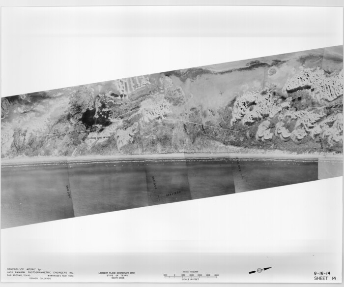

Print $20.00
- Digital $50.00
Controlled Mosaic by Jack Amman Photogrammetric Engineers, Inc - Sheet 14
1954
Size 20.0 x 24.0 inches
Map/Doc 83458
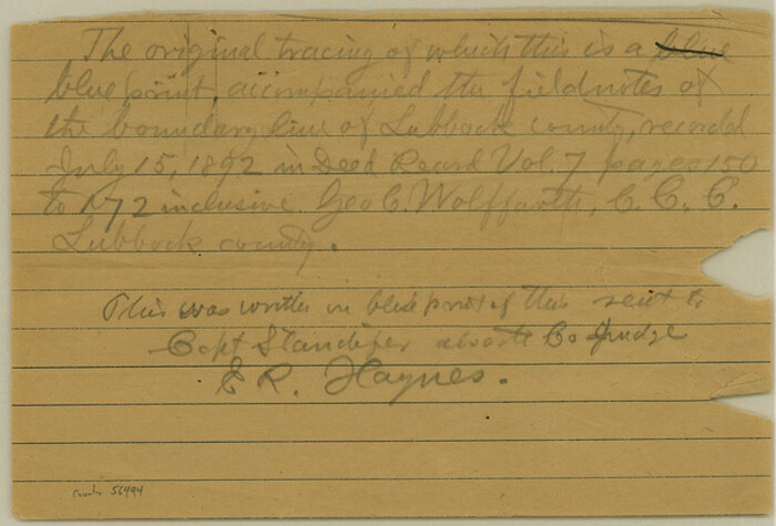
Lubbock County Boundary File 6

Print $58.00
- Digital $50.00
Lubbock County Boundary File 6
Size 4.7 x 7.0 inches
Map/Doc 56494
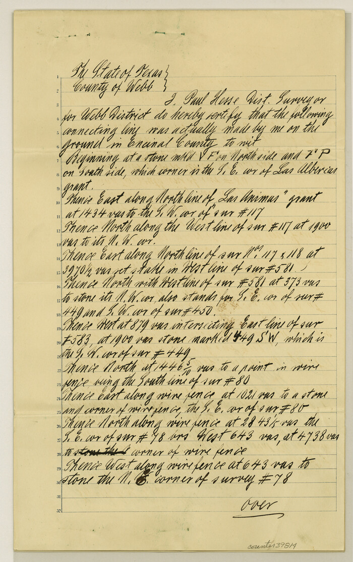
Webb County Sketch File 14-1

Print $6.00
- Digital $50.00
Webb County Sketch File 14-1
1892
Size 14.4 x 9.1 inches
Map/Doc 39814
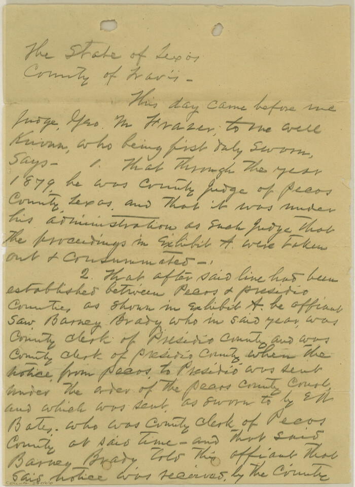
El Paso County Boundary File 4b

Print $24.00
- Digital $50.00
El Paso County Boundary File 4b
Size 12.3 x 9.0 inches
Map/Doc 53066
Starr County Rolled Sketch 45


Print $40.00
- Digital $50.00
Starr County Rolled Sketch 45
Size 17.7 x 57.5 inches
Map/Doc 9914
You may also like
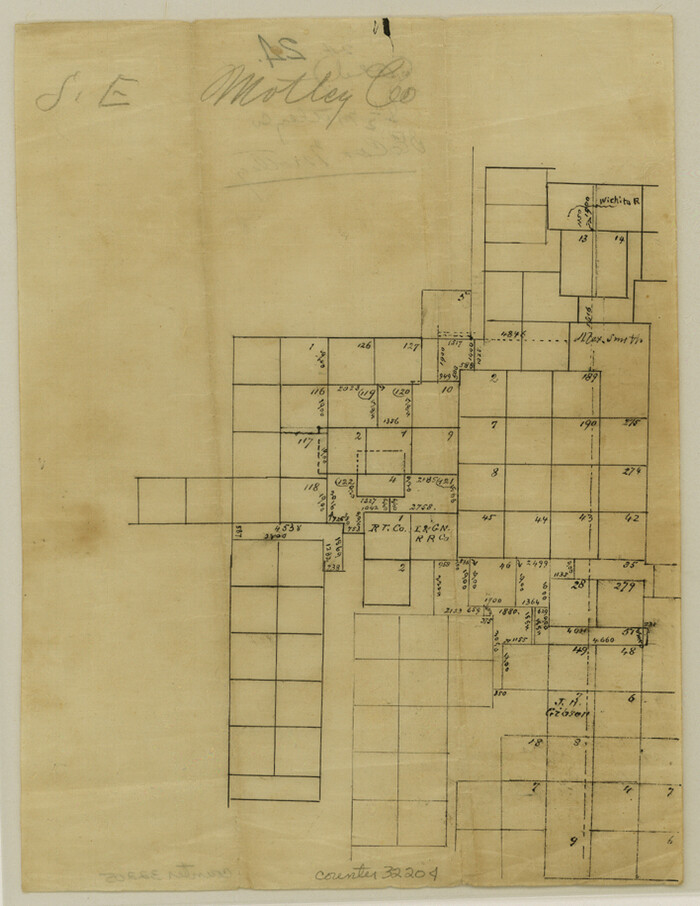
Motley County Sketch File 24 (S)

Print $4.00
- Digital $50.00
Motley County Sketch File 24 (S)
Size 9.2 x 7.1 inches
Map/Doc 32204
Flight Mission No. DIX-10P, Frame 174, Aransas County
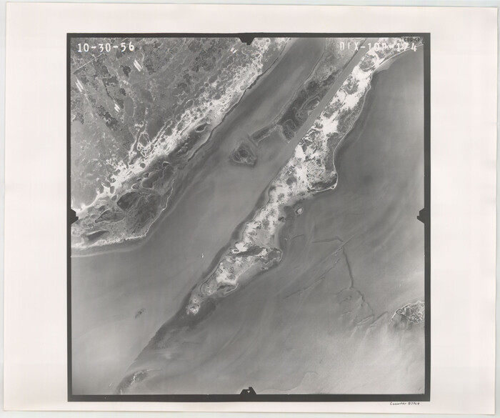

Print $20.00
- Digital $50.00
Flight Mission No. DIX-10P, Frame 174, Aransas County
1956
Size 18.5 x 22.2 inches
Map/Doc 83964
Map of the River Sabine from its Mouth on the Gulf of Mexico in the Sea to Logan's Ferry in Latitude 31°58'24" north


Print $40.00
Map of the River Sabine from its Mouth on the Gulf of Mexico in the Sea to Logan's Ferry in Latitude 31°58'24" north
1840
Size 35.0 x 170.0 inches
Map/Doc 88901
Flight Mission No. DIX-5P, Frame 109, Aransas County


Print $20.00
- Digital $50.00
Flight Mission No. DIX-5P, Frame 109, Aransas County
1956
Size 17.8 x 18.1 inches
Map/Doc 83788
Madison County Working Sketch 2


Print $20.00
- Digital $50.00
Madison County Working Sketch 2
1933
Size 23.4 x 25.5 inches
Map/Doc 70764
Presidio County Working Sketch 128
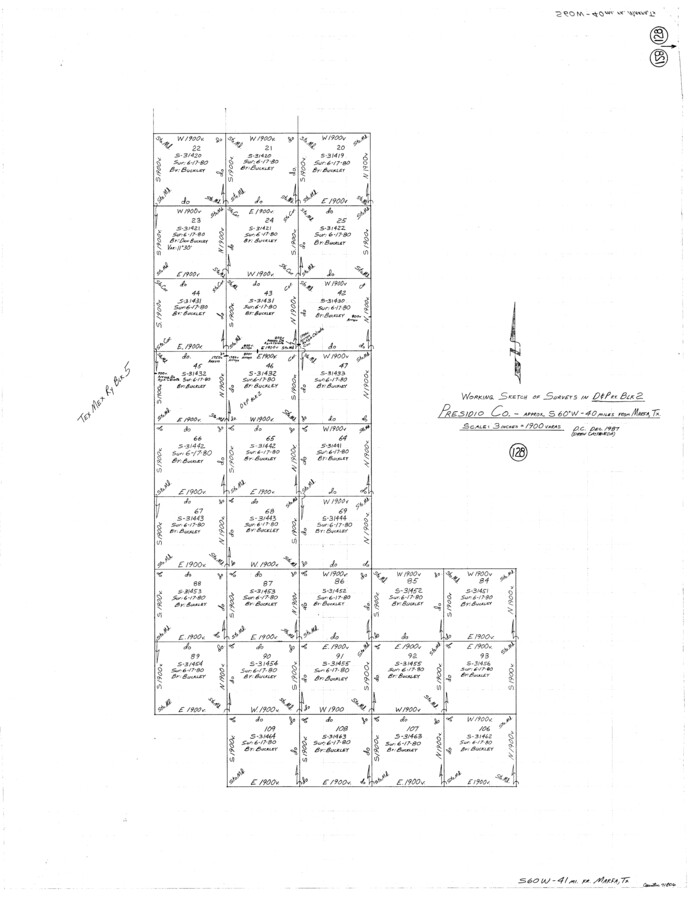

Print $20.00
- Digital $50.00
Presidio County Working Sketch 128
1987
Size 37.3 x 29.0 inches
Map/Doc 71806
Harris County Working Sketch 89
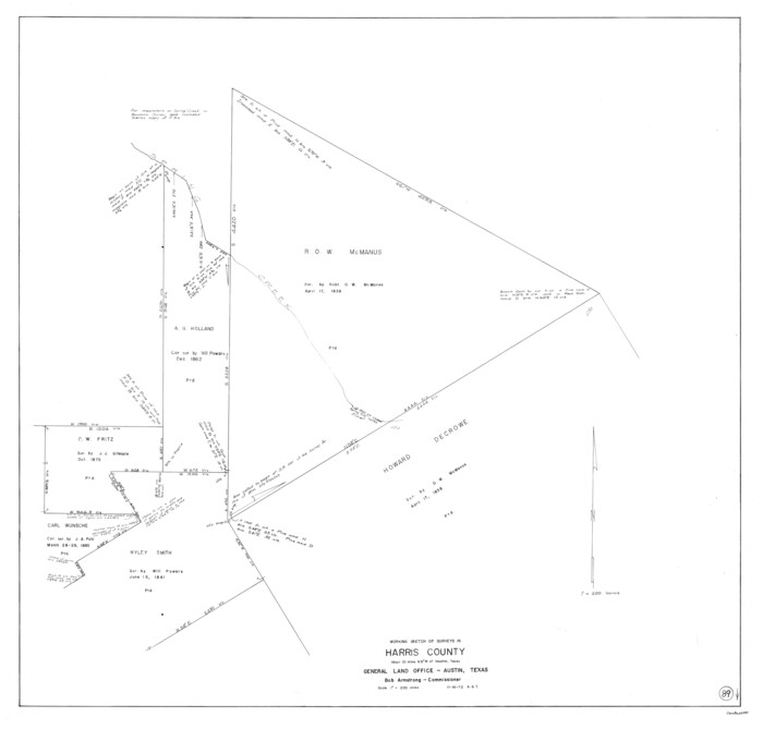

Print $20.00
- Digital $50.00
Harris County Working Sketch 89
1972
Size 37.3 x 39.0 inches
Map/Doc 65981
Navarro County Sketch File 5
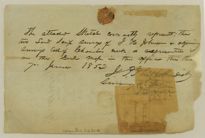

Print $6.00
- Digital $50.00
Navarro County Sketch File 5
1852
Size 5.5 x 8.1 inches
Map/Doc 32307
Galveston to Rio Grande


Print $20.00
- Digital $50.00
Galveston to Rio Grande
1973
Size 44.2 x 36.8 inches
Map/Doc 69956
Val Verde County Sketch File 48
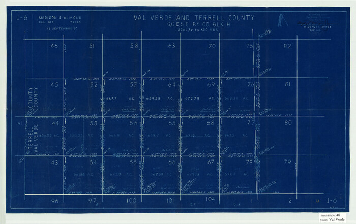

Print $20.00
- Digital $50.00
Val Verde County Sketch File 48
1950
Size 18.2 x 28.9 inches
Map/Doc 12589
Yoakum County Sketch File 16
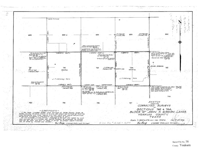

Print $20.00
- Digital $50.00
Yoakum County Sketch File 16
1939
Size 15.0 x 19.4 inches
Map/Doc 12709
![75913, [Folder for] Nautical Chart 11305: Texas Intracoastal Waterway, Laguna Madre, Rincon de San Jose to Chubby Island, General Map Collection](https://historictexasmaps.com/wmedia_w1800h1800/maps/75913-1.tif.jpg)
