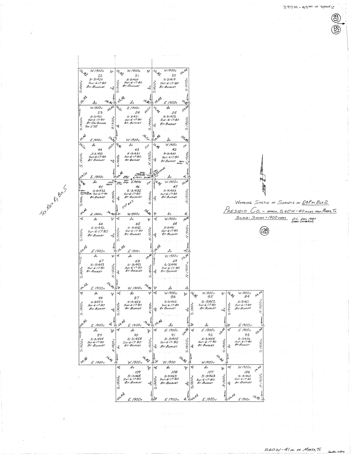
Presidio County Working Sketch 128
-
Map/Doc
71806
-
Collection
General Map Collection
-
Object Dates
12/1987 (Creation Date)
-
People and Organizations
Drew Castaneda (Draftsman)
-
Counties
Presidio
-
Subjects
Surveying Working Sketch
-
Height x Width
37.3 x 29.0 inches
94.7 x 73.7 cm
-
Scale
3" = 1900 varas
Part of: General Map Collection
Liberty County Sketch File 36a

Print $4.00
- Digital $50.00
Liberty County Sketch File 36a
Size 8.6 x 5.6 inches
Map/Doc 29974
Reagan County Working Sketch 4

Print $20.00
- Digital $50.00
Reagan County Working Sketch 4
1923
Size 16.8 x 26.3 inches
Map/Doc 71844
Titus County Sketch File 14

Print $4.00
- Digital $50.00
Titus County Sketch File 14
Size 9.7 x 8.3 inches
Map/Doc 38157
Harris County NRC Article 33.136 Sketch 2

Print $30.00
- Digital $50.00
Harris County NRC Article 33.136 Sketch 2
2000
Size 30.6 x 42.2 inches
Map/Doc 61596
Hartley County

Print $40.00
- Digital $50.00
Hartley County
1925
Size 41.9 x 52.1 inches
Map/Doc 1851
Runnels County Rolled Sketch C

Print $20.00
- Digital $50.00
Runnels County Rolled Sketch C
1892
Size 16.0 x 21.0 inches
Map/Doc 7541
Milam County Sketch File 5

Print $4.00
- Digital $50.00
Milam County Sketch File 5
1901
Size 14.2 x 8.7 inches
Map/Doc 31632
Frio County Rolled Sketch 24

Print $20.00
- Digital $50.00
Frio County Rolled Sketch 24
1964
Size 22.3 x 21.1 inches
Map/Doc 5924
Flight Mission No. BRE-2P, Frame 122, Nueces County

Print $20.00
- Digital $50.00
Flight Mission No. BRE-2P, Frame 122, Nueces County
1956
Size 18.4 x 22.4 inches
Map/Doc 86798
Howard County Working Sketch 3

Print $20.00
- Digital $50.00
Howard County Working Sketch 3
1904
Size 26.8 x 20.1 inches
Map/Doc 66269
Hartley County Sketch File 1a

Print $4.00
- Digital $50.00
Hartley County Sketch File 1a
1890
Size 7.8 x 8.2 inches
Map/Doc 26083
Packery Channel

Print $20.00
- Digital $50.00
Packery Channel
1937
Size 23.8 x 22.4 inches
Map/Doc 3008
You may also like
Texas Panhandle East Boundary Line

Print $20.00
- Digital $50.00
Texas Panhandle East Boundary Line
Size 37.5 x 8.7 inches
Map/Doc 65381
Jim Hogg County Working Sketch 9

Print $20.00
- Digital $50.00
Jim Hogg County Working Sketch 9
1973
Size 14.3 x 11.2 inches
Map/Doc 66595
Dimmit County Sketch File 28

Print $40.00
- Digital $50.00
Dimmit County Sketch File 28
Size 14.7 x 17.4 inches
Map/Doc 11350
Midland County Rolled Sketch 14

Print $20.00
- Digital $50.00
Midland County Rolled Sketch 14
1996
Size 21.3 x 26.7 inches
Map/Doc 6769
Goliad County Sketch File Y

Print $20.00
- Digital $50.00
Goliad County Sketch File Y
1894
Size 14.1 x 12.1 inches
Map/Doc 11574
Parmer County Working Sketch 2

Print $20.00
- Digital $50.00
Parmer County Working Sketch 2
1914
Map/Doc 71470
Guadalupe County Sketch File 22

Print $20.00
- Digital $50.00
Guadalupe County Sketch File 22
1957
Size 16.2 x 16.5 inches
Map/Doc 11591
America's Fun-Tier: Texas 1967 Official State Highway Map

Digital $50.00
America's Fun-Tier: Texas 1967 Official State Highway Map
Size 28.2 x 36.4 inches
Map/Doc 94321

Wichita County Working Sketch 12a

Print $20.00
- Digital $50.00
Wichita County Working Sketch 12a
1920
Size 20.2 x 14.1 inches
Map/Doc 72521
Flight Mission No. DQN-1K, Frame 65, Calhoun County

Print $20.00
- Digital $50.00
Flight Mission No. DQN-1K, Frame 65, Calhoun County
1953
Size 18.5 x 22.2 inches
Map/Doc 84152
[Capitol Leagues 633, 634, 635, 636, and 637]
![90998, [Capitol Leagues 633, 634, 635, 636, and 637], Twichell Survey Records](https://historictexasmaps.com/wmedia_w700/maps/90998-1.tif.jpg)
Print $20.00
- Digital $50.00
[Capitol Leagues 633, 634, 635, 636, and 637]
Size 23.2 x 10.2 inches
Map/Doc 90998