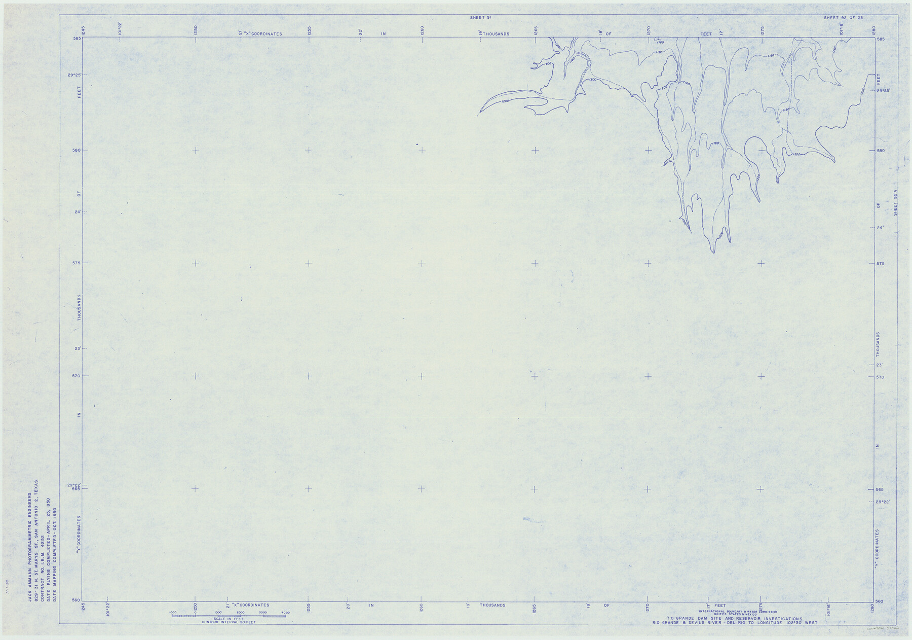
Amistad International Reservoir on Rio Grande 92
Rio Grande Dam Site and Reservoir Investigations
-
Map/Doc
75522
-
Collection
General Map Collection
-
Object Dates
1950 (Creation Date)
-
People and Organizations
International Boundary and Water Commission (Publisher)
Jack Ammann Photogrammetric Engineers (Surveyor/Engineer)
-
Counties
Val Verde
-
Subjects
Texas Boundaries Topographic
-
Height x Width
28.5 x 40.6 inches
72.4 x 103.1 cm
-
Medium
blueline
-
Comments
Rio Grande and Devil's River - Del Rio to Longitude 102 degrees 30 minutes West.
Part of: General Map Collection
Hood County Sketch File 21

Print $12.00
- Digital $50.00
Hood County Sketch File 21
1873
Size 7.8 x 6.7 inches
Map/Doc 26609
Cottle County Rolled Sketch B

Print $20.00
- Digital $50.00
Cottle County Rolled Sketch B
1903
Size 32.5 x 43.4 inches
Map/Doc 8671
Hutchinson County Rolled Sketch 44-6

Print $20.00
- Digital $50.00
Hutchinson County Rolled Sketch 44-6
2002
Size 24.0 x 36.0 inches
Map/Doc 77542
Shackelford County Working Sketch Graphic Index

Print $20.00
- Digital $50.00
Shackelford County Working Sketch Graphic Index
1972
Size 42.2 x 36.1 inches
Map/Doc 76696
Bell County Working Sketch 15

Print $20.00
- Digital $50.00
Bell County Working Sketch 15
1979
Size 15.7 x 16.2 inches
Map/Doc 67355
King County Boundary File 5a

Print $40.00
- Digital $50.00
King County Boundary File 5a
Size 10.3 x 38.1 inches
Map/Doc 64922
Shelby County Sketch File 12

Print $4.00
- Digital $50.00
Shelby County Sketch File 12
Size 8.2 x 10.3 inches
Map/Doc 36619
Travis County Sketch File 32

Print $20.00
- Digital $50.00
Travis County Sketch File 32
Size 25.3 x 32.7 inches
Map/Doc 12460
[Surveys in the Bexar District along the Leona River]
![135, [Surveys in the Bexar District along the Leona River], General Map Collection](https://historictexasmaps.com/wmedia_w700/maps/135.tif.jpg)
Print $20.00
- Digital $50.00
[Surveys in the Bexar District along the Leona River]
1841
Size 19.9 x 10.9 inches
Map/Doc 135
Flight Mission No. DQN-2K, Frame 64, Calhoun County

Print $20.00
- Digital $50.00
Flight Mission No. DQN-2K, Frame 64, Calhoun County
1953
Size 18.6 x 22.3 inches
Map/Doc 84256
Galveston County NRC Article 33.136 Sketch 67

Print $28.00
- Digital $50.00
Galveston County NRC Article 33.136 Sketch 67
2011
Size 17.0 x 24.0 inches
Map/Doc 93391
Zavala County Sketch File 17

Print $64.00
- Digital $50.00
Zavala County Sketch File 17
1900
Size 9.1 x 10.1 inches
Map/Doc 41324
You may also like
[John H. Robinson, John H. Gibson, and vicinity]
![91043, [John H. Robinson, John H. Gibson, and vicinity], Twichell Survey Records](https://historictexasmaps.com/wmedia_w700/maps/91043-1.tif.jpg)
Print $20.00
- Digital $50.00
[John H. Robinson, John H. Gibson, and vicinity]
Size 19.9 x 29.5 inches
Map/Doc 91043
Brewster County Working Sketch 2

Print $20.00
- Digital $50.00
Brewster County Working Sketch 2
1907
Size 29.0 x 26.4 inches
Map/Doc 67535
Tom Green County Sketch File 87

Print $5.00
- Digital $50.00
Tom Green County Sketch File 87
1951
Size 8.7 x 11.2 inches
Map/Doc 38264
Rains County Sketch File 11

Print $20.00
- Digital $50.00
Rains County Sketch File 11
Size 21.1 x 15.5 inches
Map/Doc 12204
[PSL Blocks B8-B9, B13-B18 and B22]
![91963, [PSL Blocks B8-B9, B13-B18 and B22], Twichell Survey Records](https://historictexasmaps.com/wmedia_w700/maps/91963-1.tif.jpg)
Print $20.00
- Digital $50.00
[PSL Blocks B8-B9, B13-B18 and B22]
Size 19.8 x 27.2 inches
Map/Doc 91963
Navigation Maps of Gulf Intracoastal Waterway, Port Arthur to Brownsville, Texas

Print $4.00
- Digital $50.00
Navigation Maps of Gulf Intracoastal Waterway, Port Arthur to Brownsville, Texas
1951
Size 16.7 x 21.5 inches
Map/Doc 65441

Throckmorton County Rolled Sketch 3

Print $20.00
- Digital $50.00
Throckmorton County Rolled Sketch 3
1987
Size 31.2 x 36.3 inches
Map/Doc 7986
Flight Mission No. CRK-8P, Frame 104, Refugio County

Print $20.00
- Digital $50.00
Flight Mission No. CRK-8P, Frame 104, Refugio County
1956
Size 18.2 x 22.0 inches
Map/Doc 86965
Polk County Sketch File 23A

Print $20.00
- Digital $50.00
Polk County Sketch File 23A
Size 23.4 x 24.3 inches
Map/Doc 12192
Presidio County Working Sketch 116

Print $20.00
- Digital $50.00
Presidio County Working Sketch 116
1982
Size 27.8 x 42.4 inches
Map/Doc 71793
Walker County Working Sketch 7

Print $20.00
- Digital $50.00
Walker County Working Sketch 7
1935
Size 38.3 x 43.2 inches
Map/Doc 72287