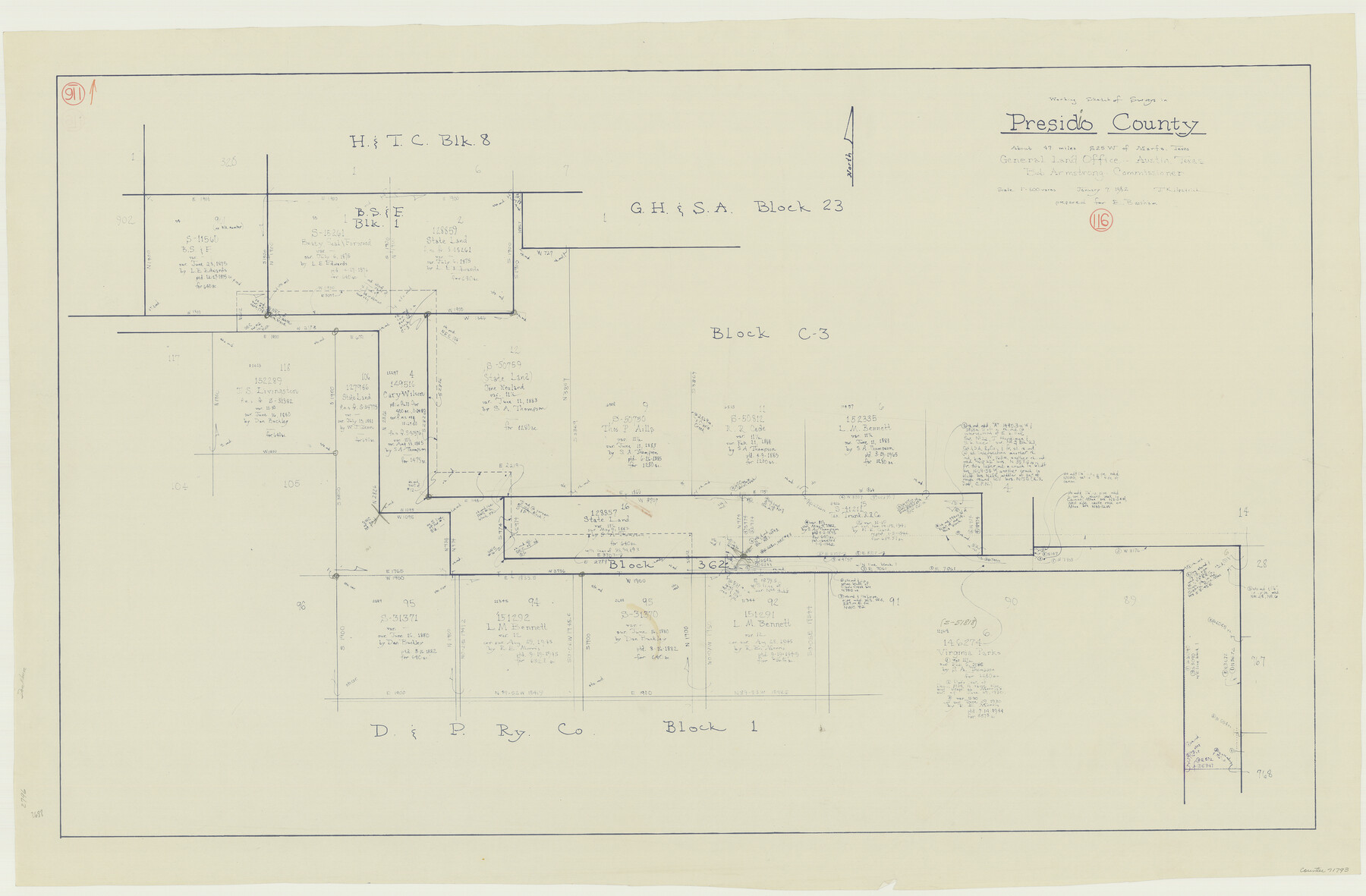
Presidio County Working Sketch 116
-
Map/Doc
71793
-
Collection
General Map Collection
-
Object Dates
1/7/1982 (Creation Date)
-
People and Organizations
Joan Kilpatrick (Draftsman)
-
Counties
Presidio
-
Subjects
Surveying Working Sketch
-
Height x Width
27.8 x 42.4 inches
70.6 x 107.7 cm
-
Scale
1" = 500 varas
Part of: General Map Collection
Intracoastal Waterway in Texas - Corpus Christi to Point Isabel including Arroyo Colorado to Mo. Pac. R.R. Bridge Near Harlingen

Print $20.00
- Digital $50.00
Intracoastal Waterway in Texas - Corpus Christi to Point Isabel including Arroyo Colorado to Mo. Pac. R.R. Bridge Near Harlingen
1933
Size 28.1 x 41.4 inches
Map/Doc 61871
Fort Bend County Sketch File 16 1/2

Print $16.00
- Digital $50.00
Fort Bend County Sketch File 16 1/2
Size 14.3 x 8.8 inches
Map/Doc 22927
Flight Mission No. DQN-2K, Frame 137, Calhoun County

Print $20.00
- Digital $50.00
Flight Mission No. DQN-2K, Frame 137, Calhoun County
1953
Size 18.8 x 22.5 inches
Map/Doc 84306
Flight Mission No. CRE-1R, Frame 124, Jackson County

Print $20.00
- Digital $50.00
Flight Mission No. CRE-1R, Frame 124, Jackson County
1956
Size 16.1 x 15.9 inches
Map/Doc 85335
Brewster County Rolled Sketch 146A

Print $40.00
- Digital $50.00
Brewster County Rolled Sketch 146A
Size 62.4 x 45.1 inches
Map/Doc 8527
Nueces County Rolled Sketch 115

Print $215.00
Nueces County Rolled Sketch 115
1992
Size 24.2 x 35.2 inches
Map/Doc 7126
Clay County Boundary File 15

Print $8.00
- Digital $50.00
Clay County Boundary File 15
Size 13.3 x 8.2 inches
Map/Doc 51418
[Sketch for Mineral Application 26501 - Sabine River, T. A. Oldhausen]
![2846, [Sketch for Mineral Application 26501 - Sabine River, T. A. Oldhausen], General Map Collection](https://historictexasmaps.com/wmedia_w700/maps/2846.tif.jpg)
Print $20.00
- Digital $50.00
[Sketch for Mineral Application 26501 - Sabine River, T. A. Oldhausen]
1931
Size 24.4 x 37.0 inches
Map/Doc 2846
Duval County Sketch File 65

Print $6.00
- Digital $50.00
Duval County Sketch File 65
1943
Size 14.4 x 9.1 inches
Map/Doc 21441
Hardin County Rolled Sketch 17

Print $20.00
- Digital $50.00
Hardin County Rolled Sketch 17
1951
Size 38.3 x 32.4 inches
Map/Doc 6087
West End of Copano Bay and Town of Saint Marys, Texas

Print $40.00
- Digital $50.00
West End of Copano Bay and Town of Saint Marys, Texas
1861
Size 54.5 x 32.9 inches
Map/Doc 73428
Flight Mission No. BQY-15M, Frame 3, Harris County

Print $20.00
- Digital $50.00
Flight Mission No. BQY-15M, Frame 3, Harris County
1953
Size 18.7 x 22.5 inches
Map/Doc 85301
You may also like
Val Verde County Sketch File 11

Print $8.00
- Digital $50.00
Val Verde County Sketch File 11
1972
Size 11.3 x 8.9 inches
Map/Doc 39110
Gillespie County Sketch File 3

Print $4.00
- Digital $50.00
Gillespie County Sketch File 3
1847
Size 11.2 x 8.0 inches
Map/Doc 24129
Deaf Smith County Sketch File 5

Print $9.00
- Digital $50.00
Deaf Smith County Sketch File 5
1905
Size 11.3 x 8.9 inches
Map/Doc 20648
Amistad International Reservoir on Rio Grande 90

Print $20.00
- Digital $50.00
Amistad International Reservoir on Rio Grande 90
1950
Size 28.5 x 39.7 inches
Map/Doc 75520
Van Zandt County Sketch File 26

Print $4.00
- Digital $50.00
Van Zandt County Sketch File 26
1858
Size 6.7 x 7.9 inches
Map/Doc 39445
[Sketch showing Northwest corner of Fisher County, Northeast corner of Scurry County and South part of Kent County]
![90917, [Sketch showing Northwest corner of Fisher County, Northeast corner of Scurry County and South part of Kent County], Twichell Survey Records](https://historictexasmaps.com/wmedia_w700/maps/90917-1.tif.jpg)
Print $20.00
- Digital $50.00
[Sketch showing Northwest corner of Fisher County, Northeast corner of Scurry County and South part of Kent County]
1900
Size 17.7 x 15.0 inches
Map/Doc 90917
[W. T. Brewer: M. McDonald, Ralph Gilpin, A. Vanhooser, John Baker, John R. Taylor Surveys]
![90963, [W. T. Brewer: M. McDonald, Ralph Gilpin, A. Vanhooser, John Baker, John R. Taylor Surveys], Twichell Survey Records](https://historictexasmaps.com/wmedia_w700/maps/90963-1.tif.jpg)
Print $2.00
- Digital $50.00
[W. T. Brewer: M. McDonald, Ralph Gilpin, A. Vanhooser, John Baker, John R. Taylor Surveys]
Size 8.8 x 11.3 inches
Map/Doc 90963
Hood County Working Sketch 20

Print $20.00
- Digital $50.00
Hood County Working Sketch 20
1989
Size 39.6 x 34.7 inches
Map/Doc 66214
Llano County Working Sketch 7

Print $20.00
- Digital $50.00
Llano County Working Sketch 7
1968
Size 30.9 x 30.3 inches
Map/Doc 70625
Orange County Working Sketch 43

Print $20.00
- Digital $50.00
Orange County Working Sketch 43
1980
Size 18.3 x 18.4 inches
Map/Doc 71375
Freestone County Rolled Sketch 3

Print $67.00
- Digital $50.00
Freestone County Rolled Sketch 3
Size 10.4 x 15.5 inches
Map/Doc 44784
Brazos River, Washington Sheet

Print $6.00
- Digital $50.00
Brazos River, Washington Sheet
1936
Size 30.4 x 24.7 inches
Map/Doc 65277