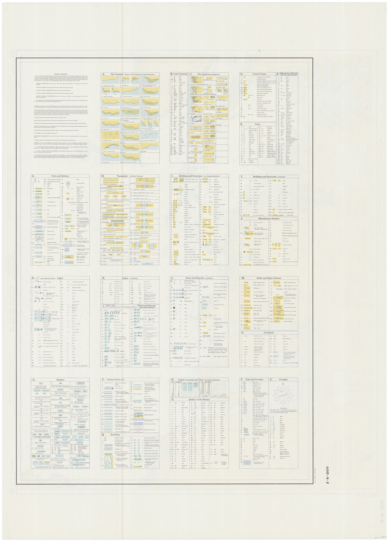
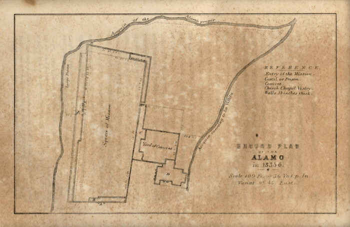
Martha's Vineyard to Block Island Including Western Approach to Cape Cod Canal
-
Map/Doc
73555
-
Collection
General Map Collection
-
Object Dates
4/8/1963 (Creation Date)
-
Subjects
Nautical Charts
-
Height x Width
51.1 x 36.9 inches
129.8 x 93.7 cm
-
Comments
dual-sided map
Part of: General Map Collection
McCulloch County Sketch File 15, 15a, 15b


Print $34.00
- Digital $50.00
McCulloch County Sketch File 15, 15a, 15b
1993
Size 11.2 x 8.8 inches
Map/Doc 31207
Oldham County Sketch File 9


Print $20.00
- Digital $50.00
Oldham County Sketch File 9
1886
Size 18.4 x 26.1 inches
Map/Doc 12112
Hudspeth County Rolled Sketch 53

Print $77.00
- Digital $50.00
Hudspeth County Rolled Sketch 53
1977
Size 9.9 x 15.1 inches
Map/Doc 45849
Hardin County Working Sketch 9
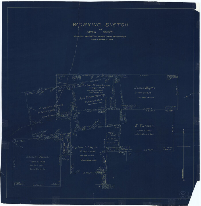

Print $20.00
- Digital $50.00
Hardin County Working Sketch 9
1928
Size 21.7 x 21.1 inches
Map/Doc 63407
Dawson County Sketch File 3


Print $20.00
- Digital $50.00
Dawson County Sketch File 3
Size 13.5 x 37.8 inches
Map/Doc 11290
[Edwards Co.]
![66811, [Edwards Co.], General Map Collection](https://historictexasmaps.com/wmedia_w700/maps/66811.tif.jpg)
![66811, [Edwards Co.], General Map Collection](https://historictexasmaps.com/wmedia_w700/maps/66811.tif.jpg)
Print $20.00
- Digital $50.00
[Edwards Co.]
1910
Size 38.8 x 36.2 inches
Map/Doc 66811
Callahan County Working Sketch 9
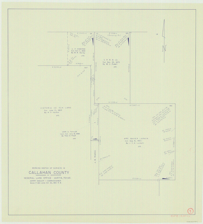

Print $20.00
- Digital $50.00
Callahan County Working Sketch 9
1962
Size 28.3 x 25.6 inches
Map/Doc 67891
Trinity River, Cox Bluff Sheet
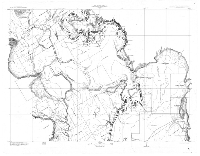

Print $20.00
- Digital $50.00
Trinity River, Cox Bluff Sheet
1926
Size 36.0 x 46.2 inches
Map/Doc 65214
Cherokee County Sketch File 34
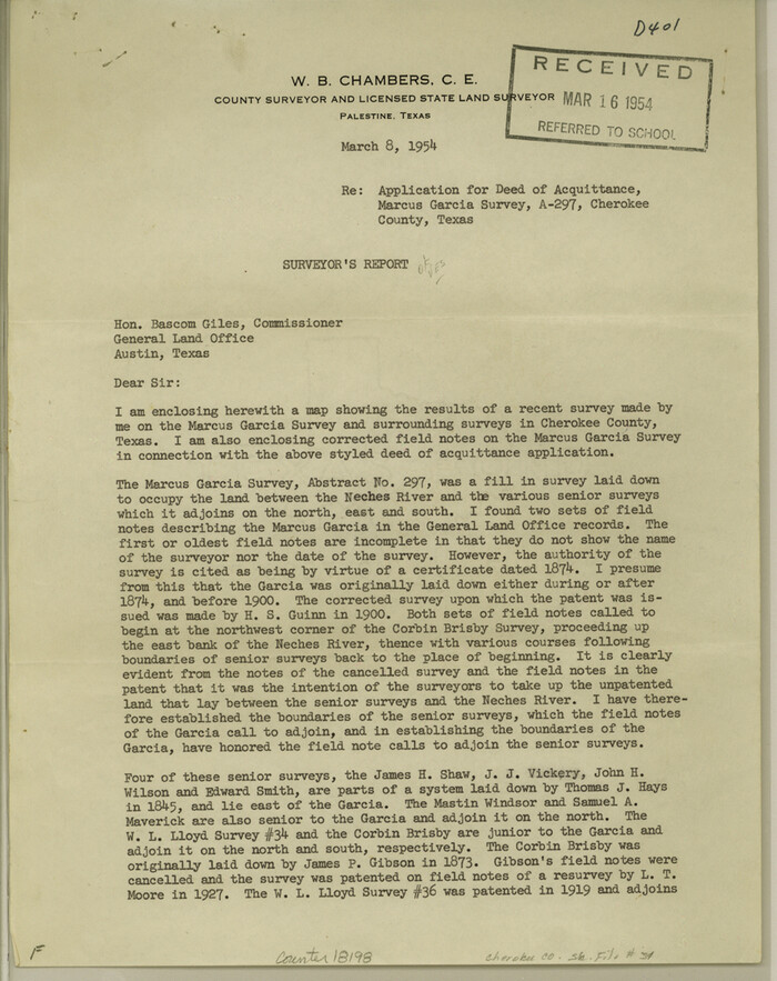

Print $12.00
- Digital $50.00
Cherokee County Sketch File 34
1954
Size 11.2 x 8.9 inches
Map/Doc 18198
Flight Mission No. CGI-3N, Frame 119, Cameron County
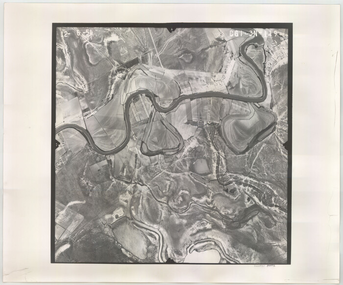

Print $20.00
- Digital $50.00
Flight Mission No. CGI-3N, Frame 119, Cameron County
1954
Size 18.5 x 22.2 inches
Map/Doc 84592
Houston County Working Sketch 5
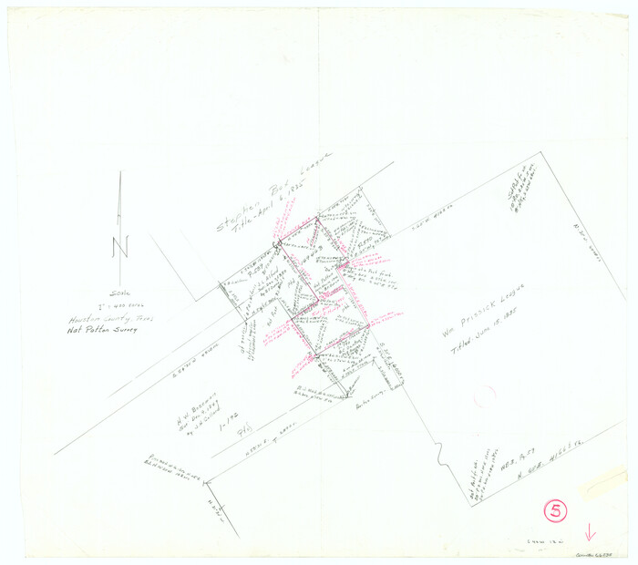

Print $20.00
- Digital $50.00
Houston County Working Sketch 5
Size 24.9 x 28.1 inches
Map/Doc 66235
You may also like
Atascosa County Working Sketch 30


Print $20.00
- Digital $50.00
Atascosa County Working Sketch 30
1980
Size 16.4 x 20.6 inches
Map/Doc 67226
Matagorda Light to Aransas Pass
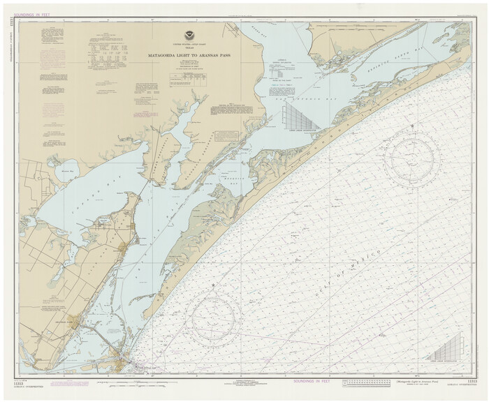

Print $20.00
- Digital $50.00
Matagorda Light to Aransas Pass
1981
Size 36.6 x 44.5 inches
Map/Doc 73402
Donley County Sketch File 24

Print $2.00
- Digital $50.00
Donley County Sketch File 24
Size 9.0 x 11.4 inches
Map/Doc 21260
Sectional map of Texas traversed by the Missouri, Kansas & Texas Railway, showing the crops adapted to each section, with the elevation and annual rainfall
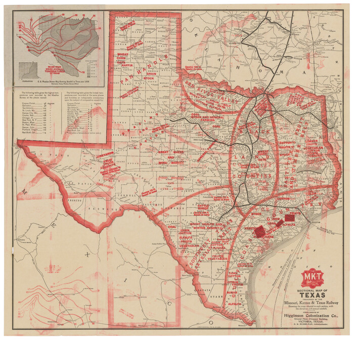

Print $20.00
- Digital $50.00
Sectional map of Texas traversed by the Missouri, Kansas & Texas Railway, showing the crops adapted to each section, with the elevation and annual rainfall
1908
Size 22.0 x 22.9 inches
Map/Doc 95816
Origin of Imports and Destination of Exports at Galveston, Tex., during 1921


Print $20.00
- Digital $50.00
Origin of Imports and Destination of Exports at Galveston, Tex., during 1921
1921
Size 13.1 x 24.6 inches
Map/Doc 97169
Leon County Rolled Sketch 4
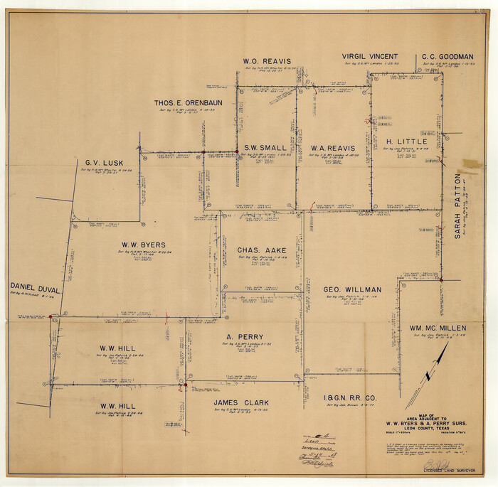

Print $20.00
- Digital $50.00
Leon County Rolled Sketch 4
1947
Size 34.6 x 35.4 inches
Map/Doc 9426
Morris County Rolled Sketch 2A
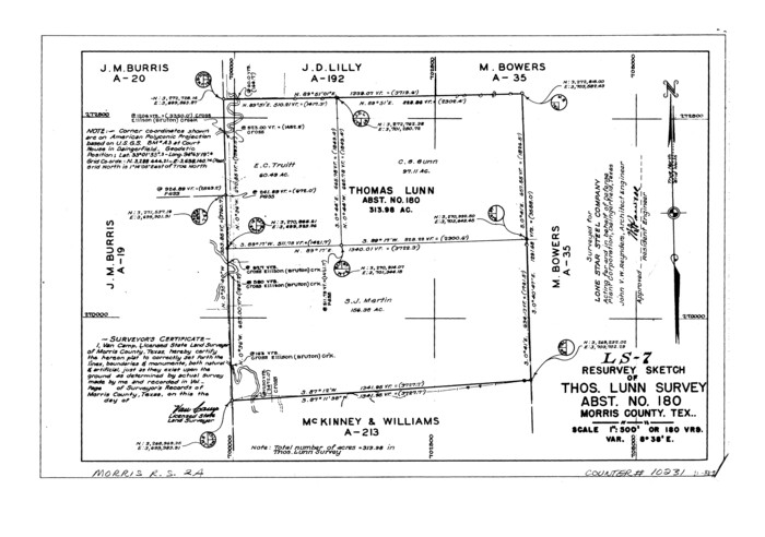

Print $20.00
- Digital $50.00
Morris County Rolled Sketch 2A
Size 13.4 x 19.1 inches
Map/Doc 10231
Lubbock County Working Sketch 6
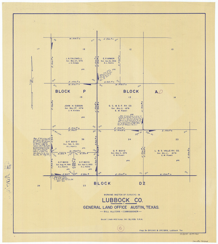

Print $20.00
- Digital $50.00
Lubbock County Working Sketch 6
1959
Size 25.1 x 22.4 inches
Map/Doc 70666
Map showing railroads and connecting lines of the Northern Texas Traction Co. from Ft. Worth to Dallas, Texas
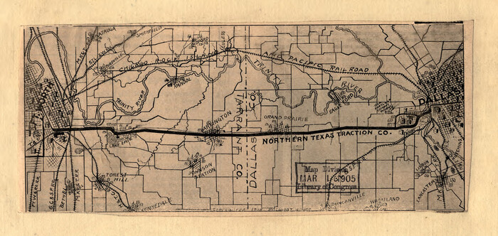

Print $20.00
Map showing railroads and connecting lines of the Northern Texas Traction Co. from Ft. Worth to Dallas, Texas
1905
Size 3.5 x 7.5 inches
Map/Doc 93602
Stonewall County Rolled Sketch 29
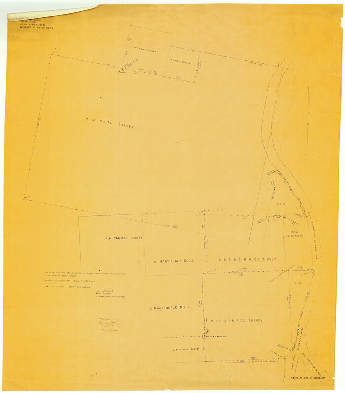

Print $20.00
- Digital $50.00
Stonewall County Rolled Sketch 29
Size 43.1 x 37.9 inches
Map/Doc 9969
Real County Working Sketch 40


Print $20.00
- Digital $50.00
Real County Working Sketch 40
1952
Size 31.5 x 22.5 inches
Map/Doc 71932
