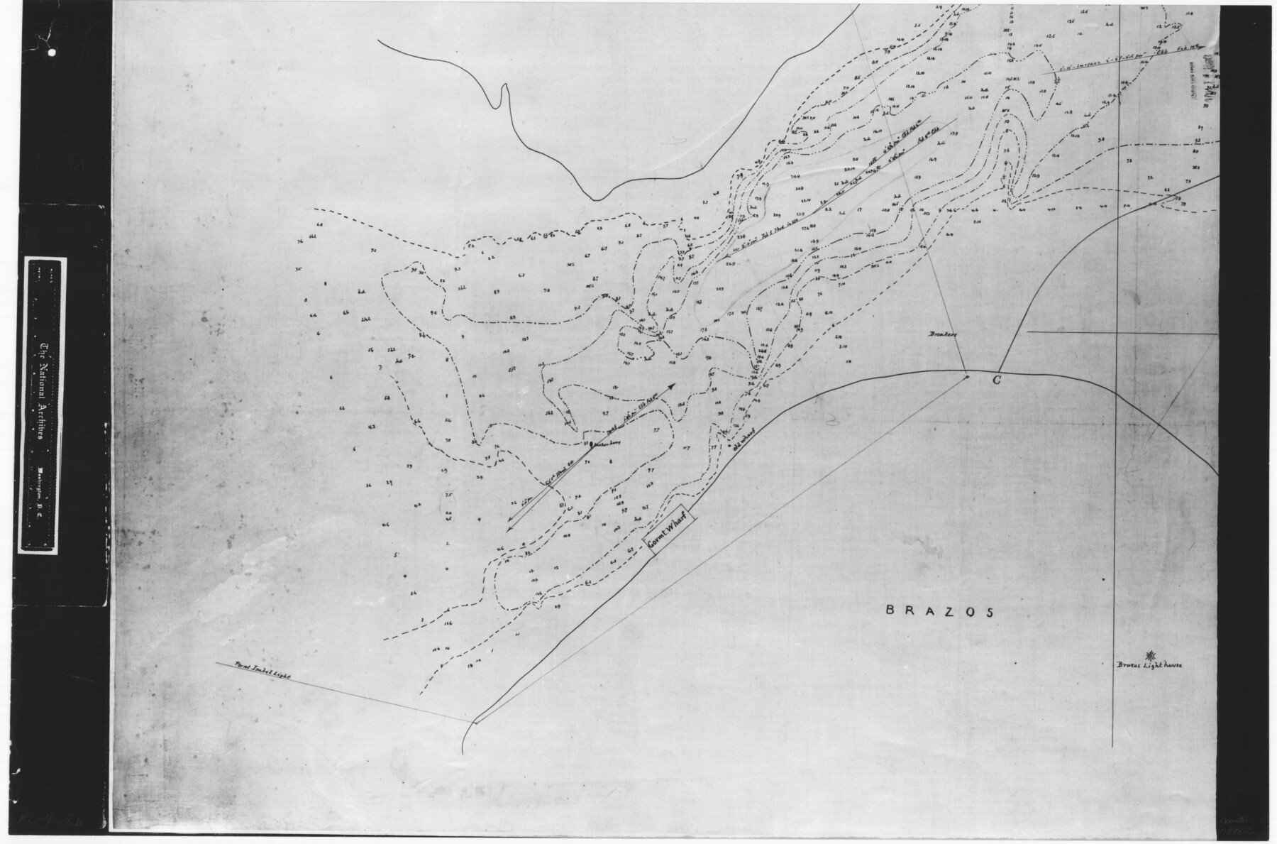
Harbor Pass and Bar at Brazos Santiago, Texas
RL-4-8b
-
Map/Doc
73002
-
Collection
General Map Collection
-
Object Dates
1879/2/10 (Creation Date)
-
People and Organizations
U. S. Army Engineers (Publisher)
U. S. Army Engineers (Author)
H.M. Adams (Surveyor/Engineer)
-
Subjects
Nautical Charts
-
Height x Width
18.1 x 27.4 inches
46.0 x 69.6 cm
-
Comments
B/W photostat copy from National Archives in multiple pieces.
Part of: General Map Collection
Padre Island National Seashore

Print $4.00
- Digital $50.00
Padre Island National Seashore
Size 16.1 x 22.3 inches
Map/Doc 60535
Township 10 North Range 15 West, North Western District, Louisiana

Print $20.00
- Digital $50.00
Township 10 North Range 15 West, North Western District, Louisiana
1854
Size 19.5 x 24.6 inches
Map/Doc 65871
Map of Brazoria

Print $20.00
- Digital $50.00
Map of Brazoria
1931
Size 20.2 x 26.7 inches
Map/Doc 80134
Dimmit County Sketch File 37

Print $6.00
- Digital $50.00
Dimmit County Sketch File 37
1894
Size 10.4 x 12.7 inches
Map/Doc 21161
Cass County Rolled Sketch 1

Print $20.00
- Digital $50.00
Cass County Rolled Sketch 1
1945
Size 22.1 x 23.7 inches
Map/Doc 5408
Deaf Smith County Rolled Sketch 4

Print $20.00
- Digital $50.00
Deaf Smith County Rolled Sketch 4
Size 23.9 x 18.0 inches
Map/Doc 96789
General Road Map, Webb County, Texas

Print $40.00
- Digital $50.00
General Road Map, Webb County, Texas
1944
Size 37.1 x 50.0 inches
Map/Doc 10126
Culberson County Working Sketch 17

Print $20.00
- Digital $50.00
Culberson County Working Sketch 17
1927
Size 22.9 x 35.2 inches
Map/Doc 68469
Garza County Sketch File 25

Print $4.00
- Digital $50.00
Garza County Sketch File 25
1907
Size 7.6 x 7.9 inches
Map/Doc 24086
Marion County Rolled Sketch F

Print $40.00
- Digital $50.00
Marion County Rolled Sketch F
1937
Size 43.5 x 67.1 inches
Map/Doc 9487
Brewster County Rolled Sketch 17

Print $40.00
- Digital $50.00
Brewster County Rolled Sketch 17
Size 25.1 x 63.4 inches
Map/Doc 5195
Leon County Working Sketch 37

Print $20.00
- Digital $50.00
Leon County Working Sketch 37
1979
Size 43.2 x 37.7 inches
Map/Doc 70436
You may also like
Red River County Working Sketch 19

Print $40.00
- Digital $50.00
Red River County Working Sketch 19
1955
Size 55.0 x 38.6 inches
Map/Doc 72002
Polk County Sketch File 34

Print $20.00
- Digital $50.00
Polk County Sketch File 34
Size 16.9 x 18.2 inches
Map/Doc 12194
Houston Ship Channel, Alexander Island to Carpenter Bayou

Print $40.00
- Digital $50.00
Houston Ship Channel, Alexander Island to Carpenter Bayou
1989
Size 35.4 x 49.3 inches
Map/Doc 69915
[Map of Henderson County]
![76767, [Map of Henderson County], General Map Collection](https://historictexasmaps.com/wmedia_w700/maps/76767.tif.jpg)
Print $20.00
- Digital $50.00
[Map of Henderson County]
1854
Size 29.7 x 22.0 inches
Map/Doc 76767
Cherokee County Working Sketch 15

Print $20.00
- Digital $50.00
Cherokee County Working Sketch 15
1957
Size 22.5 x 26.1 inches
Map/Doc 67970
Webb County Working Sketch 61

Print $20.00
- Digital $50.00
Webb County Working Sketch 61
1960
Size 24.7 x 28.0 inches
Map/Doc 72427
Donley County Sketch File B9

Print $20.00
- Digital $50.00
Donley County Sketch File B9
1920
Size 26.0 x 25.8 inches
Map/Doc 11379
Glasscock County Working Sketch 4

Print $20.00
- Digital $50.00
Glasscock County Working Sketch 4
Size 15.7 x 25.9 inches
Map/Doc 63177
General Highway Map, Yoakum County Texas

Print $20.00
- Digital $50.00
General Highway Map, Yoakum County Texas
1952
Size 26.3 x 19.1 inches
Map/Doc 92815

Nueces County Working Sketch 6

Print $20.00
- Digital $50.00
Nueces County Working Sketch 6
1987
Size 33.7 x 42.9 inches
Map/Doc 71308
Coryell County Working Sketch 2

Print $20.00
- Digital $50.00
Coryell County Working Sketch 2
1906
Size 15.3 x 18.5 inches
Map/Doc 68209