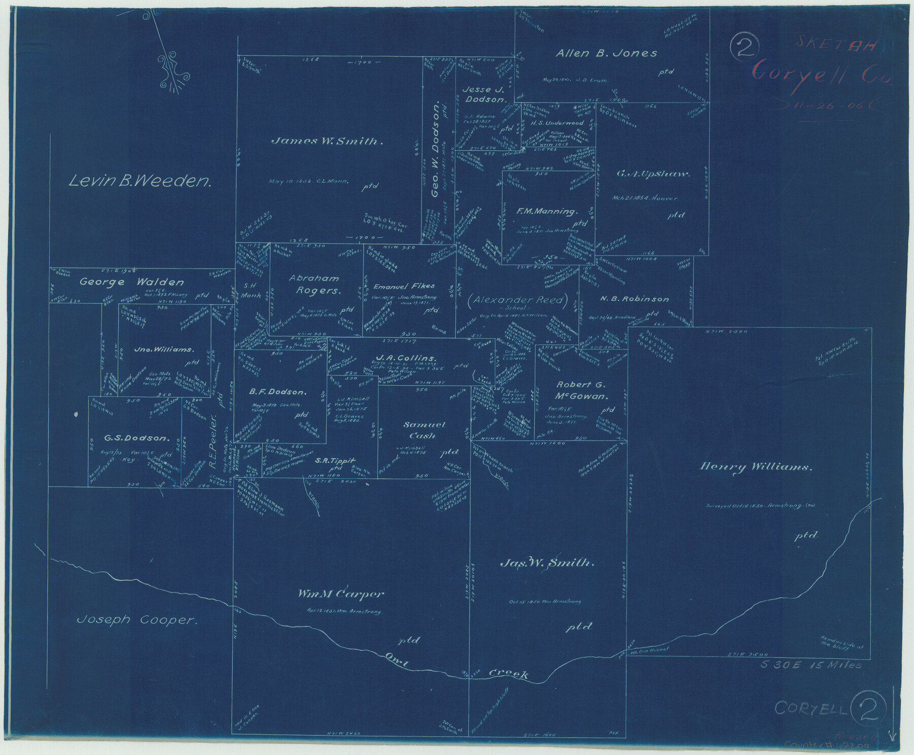
Coryell County Working Sketch 2
-
Map/Doc
68209
-
Collection
General Map Collection
-
Object Dates
11/26/1906 (Creation Date)
-
Counties
Coryell
-
Subjects
Surveying Working Sketch
-
Height x Width
15.3 x 18.5 inches
38.9 x 47.0 cm
Part of: General Map Collection

Hutchinson County Rolled Sketch 19

Print $20.00
- Digital $50.00
Hutchinson County Rolled Sketch 19
Size 21.3 x 25.0 inches
Map/Doc 6285

Scurry County Rolled Sketch 5

Print $40.00
- Digital $50.00
Scurry County Rolled Sketch 5
Size 48.4 x 41.1 inches
Map/Doc 9913
Kimble County Working Sketch Graphic Index, Sheet 1 (Sketches 1 to 46)

Print $40.00
- Digital $50.00
Kimble County Working Sketch Graphic Index, Sheet 1 (Sketches 1 to 46)
1930
Size 41.2 x 49.6 inches
Map/Doc 76606

Brewster County Working Sketch 5

Print $20.00
- Digital $50.00
Brewster County Working Sketch 5
1908
Size 28.0 x 22.0 inches
Map/Doc 67538
Kerr County Working Sketch 3

Print $20.00
- Digital $50.00
Kerr County Working Sketch 3
1944
Size 15.7 x 21.0 inches
Map/Doc 70034
Parker County Working Sketch 19-2

Print $20.00
- Digital $50.00
Parker County Working Sketch 19-2
2005
Map/Doc 83580
Panola County Working Sketch 32

Print $20.00
- Digital $50.00
Panola County Working Sketch 32
1982
Map/Doc 71441
Flight Mission No. BRA-7M, Frame 26, Jefferson County

Print $20.00
- Digital $50.00
Flight Mission No. BRA-7M, Frame 26, Jefferson County
1953
Size 18.4 x 22.2 inches
Map/Doc 85477
Harris County Rolled Sketch 86

Print $20.00
- Digital $50.00
Harris County Rolled Sketch 86
1933
Size 33.5 x 32.4 inches
Map/Doc 73575
You may also like
The Republic County of Bexar. Proposed, Late Fall 1837

Print $20.00
The Republic County of Bexar. Proposed, Late Fall 1837
2020
Size 24.6 x 21.6 inches
Map/Doc 96093
Shelby County Working Sketch 35

Print $20.00
- Digital $50.00
Shelby County Working Sketch 35
2010
Size 27.4 x 28.3 inches
Map/Doc 89285
Galveston County Rolled Sketch Z61

Print $20.00
- Digital $50.00
Galveston County Rolled Sketch Z61
1934
Size 34.9 x 23.0 inches
Map/Doc 5993
Schleicher County Sketch File 10

Print $9.00
- Digital $50.00
Schleicher County Sketch File 10
1885
Size 12.7 x 8.2 inches
Map/Doc 36485
Harris County Historic Topographic 31

Print $20.00
- Digital $50.00
Harris County Historic Topographic 31
1915
Size 29.2 x 22.7 inches
Map/Doc 65842
Hartley County Rolled Sketch 4

Print $20.00
- Digital $50.00
Hartley County Rolled Sketch 4
1902
Size 25.4 x 36.7 inches
Map/Doc 6159

Spanish North America

Print $20.00
- Digital $50.00
Spanish North America
1814
Size 21.9 x 29.8 inches
Map/Doc 89224
Current Miscellaneous File 113

Print $52.00
- Digital $50.00
Current Miscellaneous File 113
Size 23.8 x 17.1 inches
Map/Doc 74787
Pecos County Working Sketch 81

Print $40.00
- Digital $50.00
Pecos County Working Sketch 81
1961
Size 35.4 x 49.7 inches
Map/Doc 71553
Webb County Sketch File 2 and 2A

Print $20.00
- Digital $50.00
Webb County Sketch File 2 and 2A
Size 39.8 x 29.6 inches
Map/Doc 10428
Red River County Working Sketch 78

Print $20.00
- Digital $50.00
Red River County Working Sketch 78
1982
Size 40.6 x 36.8 inches
Map/Doc 72061