[Galveston, Harrisburg & San Antonio Railroad from Cuero to Stockdale]
Z-2-52
-
Map/Doc
64203
-
Collection
General Map Collection
-
Object Dates
1907/6/26 (Creation Date)
-
Counties
Wilson
-
Subjects
Railroads
-
Height x Width
13.2 x 33.1 inches
33.5 x 84.1 cm
-
Medium
blueprint/diazo
-
Comments
See counter nos. 64183 through 64204 for all sheets of the map.
-
Features
GH&SA
Part of: General Map Collection
Kleberg County Rolled Sketch 5A


Print $20.00
- Digital $50.00
Kleberg County Rolled Sketch 5A
Size 31.0 x 25.1 inches
Map/Doc 6549
Plan of the City of Galveston, Texas


Print $20.00
- Digital $50.00
Plan of the City of Galveston, Texas
1845
Size 18.4 x 27.8 inches
Map/Doc 62970
Liberty County Working Sketch 91a


Print $40.00
- Digital $50.00
Liberty County Working Sketch 91a
1919
Size 48.6 x 42.1 inches
Map/Doc 65457
Kuechler's Corners, Texas & Pacific Ry. Co. 80 Mile Reserve


Print $703.00
- Digital $50.00
Kuechler's Corners, Texas & Pacific Ry. Co. 80 Mile Reserve
1934
Size 11.0 x 8.5 inches
Map/Doc 2248
Gregg County Sketch File 1D

Print $4.00
- Digital $50.00
Gregg County Sketch File 1D
1848
Size 12.7 x 8.5 inches
Map/Doc 24543
Polk County Working Sketch 6


Print $20.00
- Digital $50.00
Polk County Working Sketch 6
1933
Size 22.8 x 32.7 inches
Map/Doc 71621
Liberty County Working Sketch 37


Print $20.00
- Digital $50.00
Liberty County Working Sketch 37
1948
Size 25.4 x 26.8 inches
Map/Doc 70496
Map of Harrison County

Print $20.00
- Digital $50.00
Map of Harrison County
1871
Size 18.0 x 19.1 inches
Map/Doc 1117
Reagan County Rolled Sketch 1

Print $20.00
- Digital $50.00
Reagan County Rolled Sketch 1
Size 20.1 x 29.5 inches
Map/Doc 7432
Montgomery County Working Sketch 78
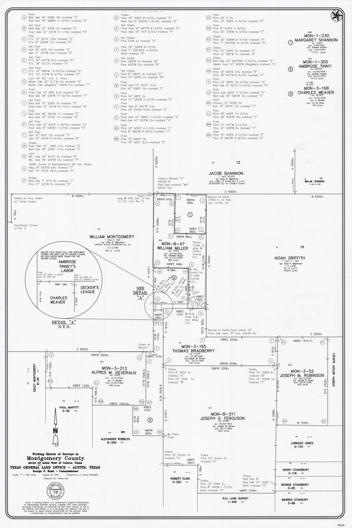

Print $20.00
- Digital $50.00
Montgomery County Working Sketch 78
2016
Size 36.3 x 24.2 inches
Map/Doc 94090
You may also like
Jeff Davis County Working Sketch 5
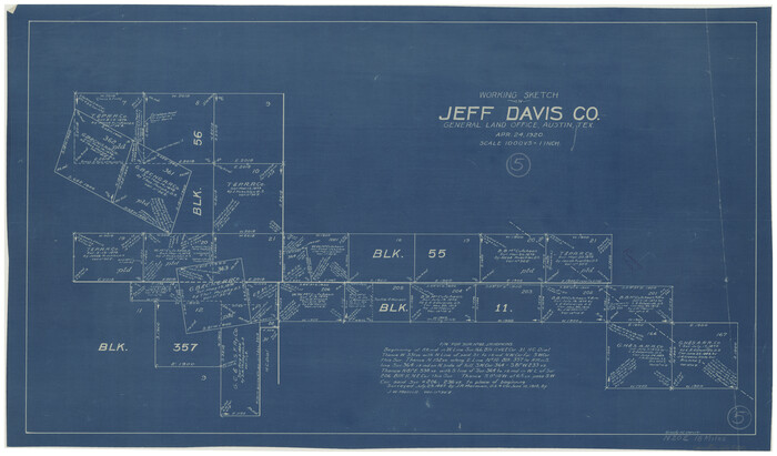

Print $20.00
- Digital $50.00
Jeff Davis County Working Sketch 5
1920
Size 12.9 x 22.2 inches
Map/Doc 66500
Pecos County Sketch File 21
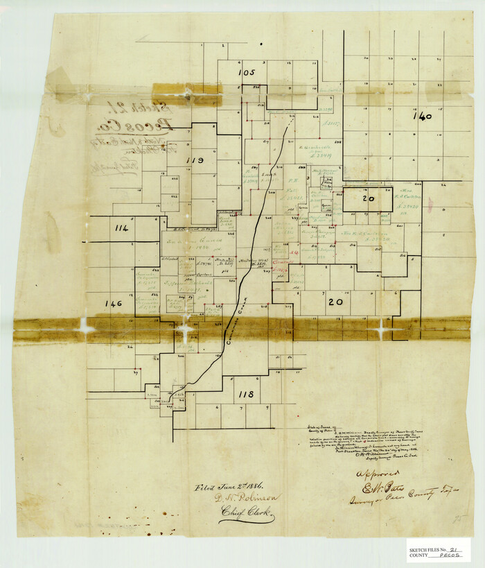

Print $20.00
- Digital $50.00
Pecos County Sketch File 21
1886
Size 21.6 x 18.5 inches
Map/Doc 12161
Menard County Rolled Sketch 15


Print $20.00
- Digital $50.00
Menard County Rolled Sketch 15
1983
Size 27.9 x 22.0 inches
Map/Doc 6761
Carta Hidrografica


Print $20.00
- Digital $50.00
Carta Hidrografica
1897
Size 26.0 x 34.3 inches
Map/Doc 96803
Brewster County Rolled Sketch 87


Print $40.00
- Digital $50.00
Brewster County Rolled Sketch 87
1947
Size 130.7 x 40.4 inches
Map/Doc 8497
Brewster County Sketch File N-25
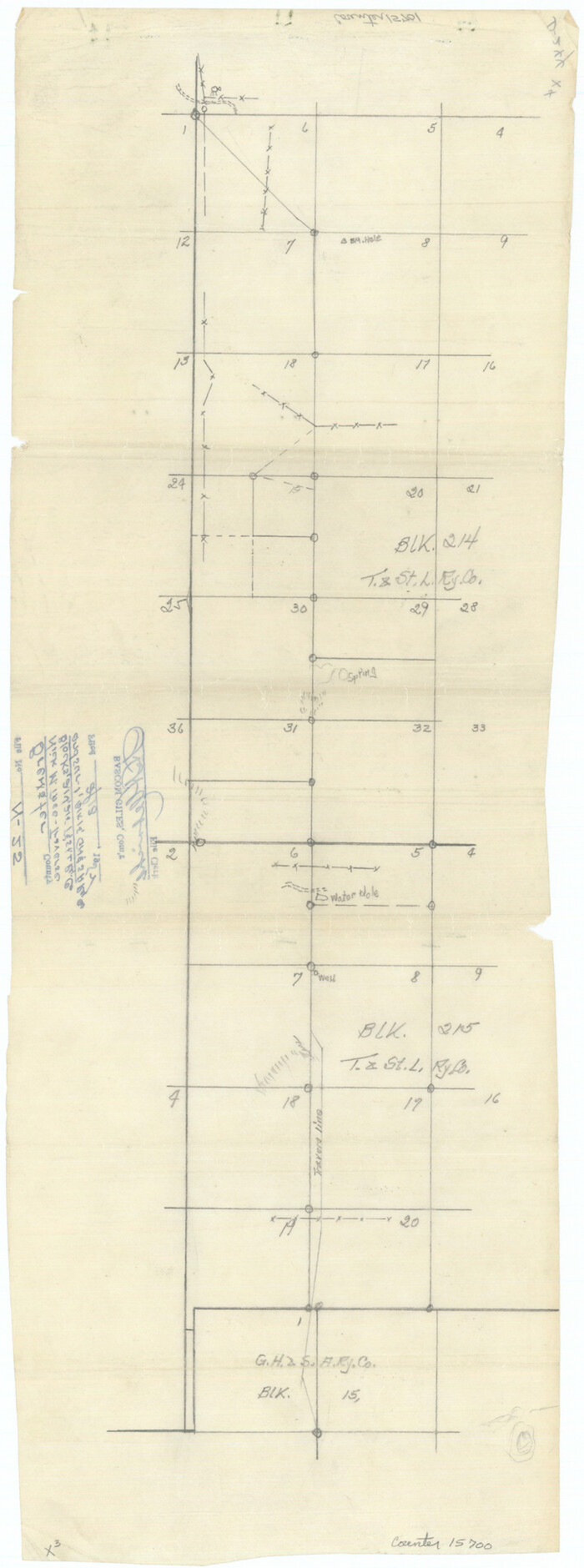

Print $28.00
- Digital $50.00
Brewster County Sketch File N-25
1952
Size 24.4 x 9.1 inches
Map/Doc 15700
Liberty County Sketch File B
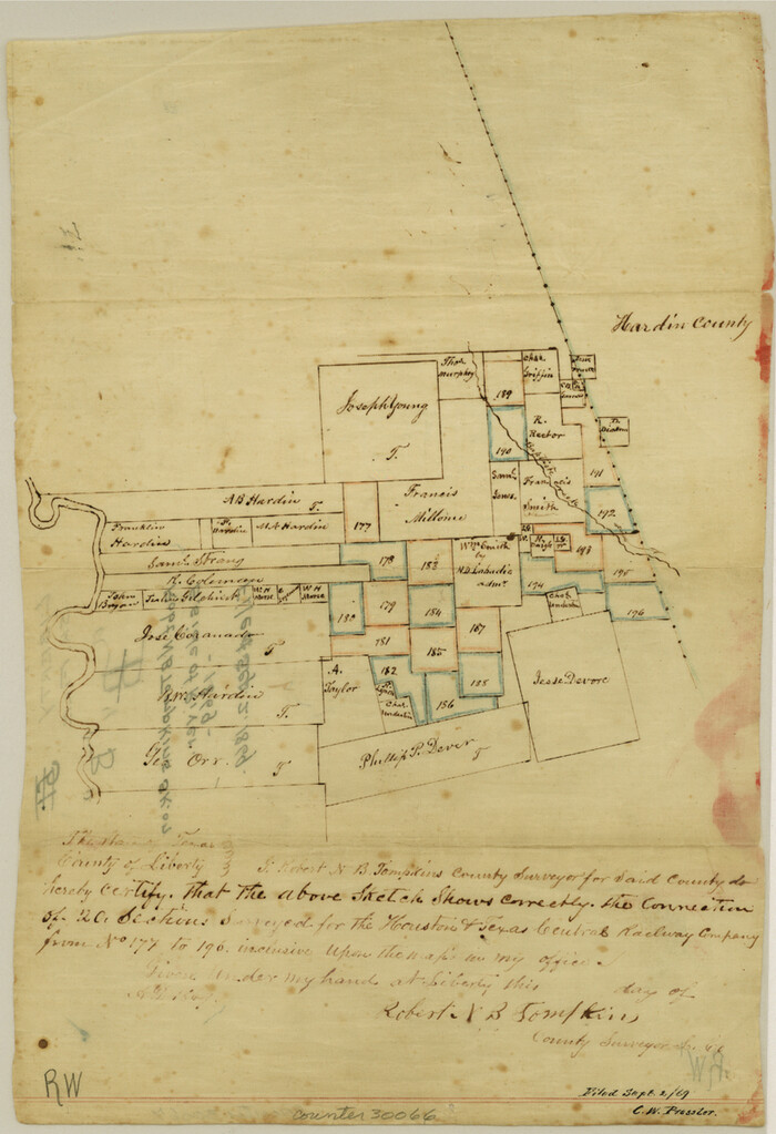

Print $4.00
- Digital $50.00
Liberty County Sketch File B
1869
Size 12.0 x 8.2 inches
Map/Doc 30066
Bosque County Boundary File 1
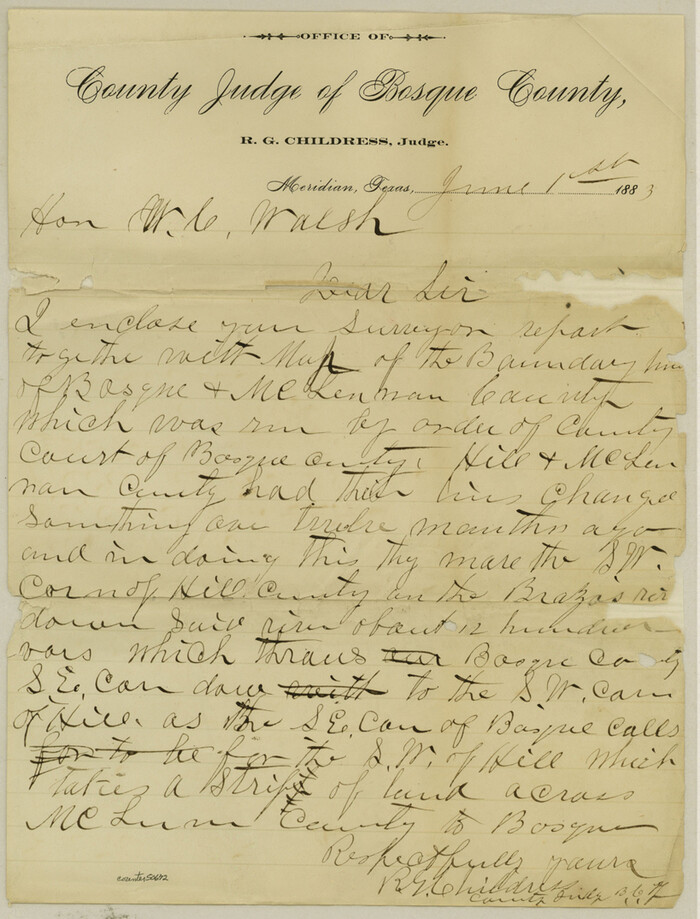

Print $34.00
- Digital $50.00
Bosque County Boundary File 1
Size 10.7 x 8.2 inches
Map/Doc 50672
Chambers County Working Sketch 10
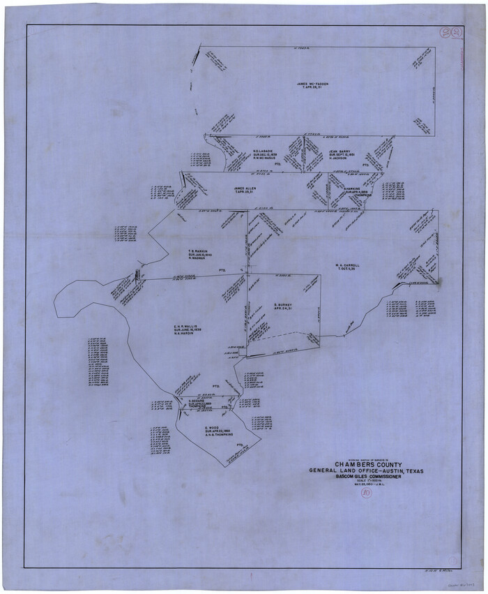

Print $20.00
- Digital $50.00
Chambers County Working Sketch 10
1950
Size 40.1 x 33.0 inches
Map/Doc 67993
Reeves County Working Sketch 39


Print $40.00
- Digital $50.00
Reeves County Working Sketch 39
1971
Size 60.9 x 36.2 inches
Map/Doc 63482
Llano County Working Sketch 3
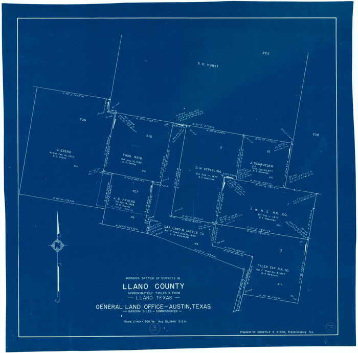

Print $20.00
- Digital $50.00
Llano County Working Sketch 3
1949
Size 23.6 x 24.0 inches
Map/Doc 70621
Coke County Sketch File 36


Print $24.00
- Digital $50.00
Coke County Sketch File 36
1918
Size 14.1 x 8.5 inches
Map/Doc 18652
![64203, [Galveston, Harrisburg & San Antonio Railroad from Cuero to Stockdale], General Map Collection](https://historictexasmaps.com/wmedia_w1800h1800/maps/64203.tif.jpg)

