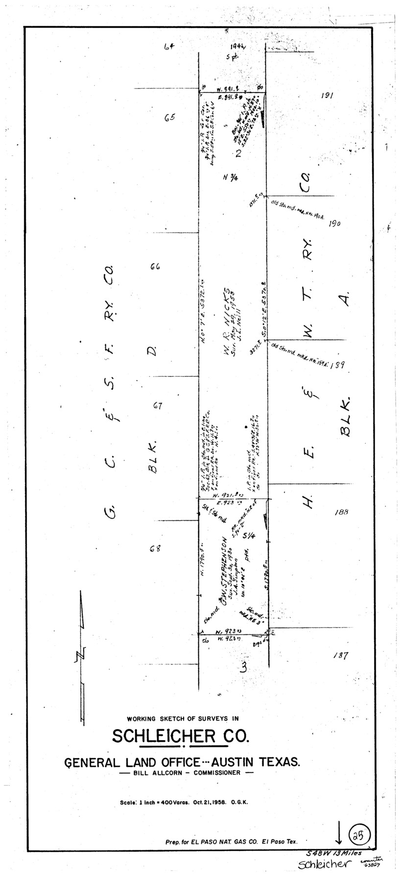
Schleicher County Working Sketch 25
-
Map/Doc
63827
-
Collection
General Map Collection
-
Object Dates
10/21/1958 (Creation Date)
-
People and Organizations
Otto G. Kurio (Draftsman)
-
Counties
Schleicher
-
Subjects
Surveying Working Sketch
-
Height x Width
29.2 x 13.2 inches
74.2 x 33.5 cm
-
Scale
1" = 400 varas
Part of: General Map Collection
Waller County

Print $40.00
- Digital $50.00
Waller County
1945
Size 48.9 x 28.4 inches
Map/Doc 95665
McLennan County Sketch File 7a

Print $4.00
- Digital $50.00
McLennan County Sketch File 7a
1850
Size 10.3 x 7.4 inches
Map/Doc 31246
Midland County Working Sketch 20

Print $20.00
- Digital $50.00
Midland County Working Sketch 20
1953
Size 22.0 x 14.9 inches
Map/Doc 71001
County and Railroad Map of Texas

Print $20.00
- Digital $50.00
County and Railroad Map of Texas
1876
Size 17.0 x 16.0 inches
Map/Doc 93624
Fayette County

Print $40.00
- Digital $50.00
Fayette County
1920
Size 40.7 x 49.0 inches
Map/Doc 4716
Pecos County Rolled Sketch 89

Print $40.00
- Digital $50.00
Pecos County Rolled Sketch 89
1934
Size 56.2 x 41.4 inches
Map/Doc 10719
Gonzales County

Print $40.00
- Digital $50.00
Gonzales County
1920
Size 48.4 x 44.2 inches
Map/Doc 4706
Nueces County

Print $20.00
- Digital $50.00
Nueces County
1913
Size 26.4 x 34.1 inches
Map/Doc 66957
Hutchinson County Sketch File 51

Print $18.00
- Digital $50.00
Hutchinson County Sketch File 51
1993
Size 14.2 x 8.6 inches
Map/Doc 27440
Crockett County Rolled Sketch FFF-11

Print $20.00
- Digital $50.00
Crockett County Rolled Sketch FFF-11
1937
Size 31.9 x 17.0 inches
Map/Doc 5637
Throckmorton County Working Sketch 10

Print $20.00
- Digital $50.00
Throckmorton County Working Sketch 10
1986
Size 22.8 x 36.8 inches
Map/Doc 62119
McMullen County Working Sketch 2

Print $20.00
- Digital $50.00
McMullen County Working Sketch 2
1919
Size 30.9 x 19.2 inches
Map/Doc 70703
You may also like
Llano County Boundary File 2

Print $30.00
- Digital $50.00
Llano County Boundary File 2
Size 14.3 x 8.8 inches
Map/Doc 56443
Southwell Place and J. F. Rice Subdivision

Print $20.00
- Digital $50.00
Southwell Place and J. F. Rice Subdivision
1926
Size 19.1 x 24.8 inches
Map/Doc 92745
Howard County

Print $20.00
- Digital $50.00
Howard County
1922
Size 40.3 x 34.6 inches
Map/Doc 77318
Kerr County Boundary File 2

Print $46.00
- Digital $50.00
Kerr County Boundary File 2
Size 15.6 x 26.5 inches
Map/Doc 55984
San Augustine County Rolled Sketch 1

Print $20.00
- Digital $50.00
San Augustine County Rolled Sketch 1
Size 16.6 x 13.8 inches
Map/Doc 7552
Williamson County Sketch File 26

Print $30.00
- Digital $50.00
Williamson County Sketch File 26
1853
Size 14.2 x 8.8 inches
Map/Doc 40367
Rockwall County

Print $20.00
- Digital $50.00
Rockwall County
1941
Size 28.7 x 23.0 inches
Map/Doc 73277
Plan of the City of Austin

Print $40.00
- Digital $50.00
Plan of the City of Austin
1840
Size 56.2 x 42.0 inches
Map/Doc 4837
Map of Fayette County Texas

Print $20.00
- Digital $50.00
Map of Fayette County Texas
1840
Size 26.4 x 22.6 inches
Map/Doc 3539
Panola County Sketch File 2

Print $4.00
- Digital $50.00
Panola County Sketch File 2
1851
Size 10.8 x 8.2 inches
Map/Doc 33447
[Sketch showing sections 6, 7, 16, 32, 42 and 43]
![91775, [Sketch showing sections 6, 7, 16, 32, 42 and 43], Twichell Survey Records](https://historictexasmaps.com/wmedia_w700/maps/91775-1.tif.jpg)
Print $3.00
- Digital $50.00
[Sketch showing sections 6, 7, 16, 32, 42 and 43]
Size 14.5 x 11.2 inches
Map/Doc 91775
Part of Garza, Crosby, Lynn, and Lubbock Counties

Print $20.00
- Digital $50.00
Part of Garza, Crosby, Lynn, and Lubbock Counties
1912
Size 24.7 x 20.4 inches
Map/Doc 91324