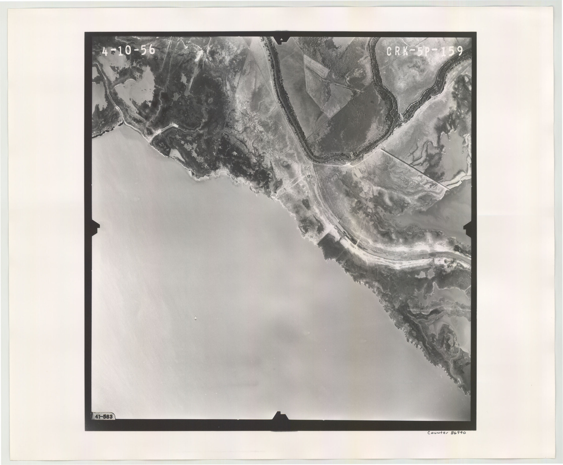
Flight Mission No. CRK-5P, Frame 159, Refugio County
CRK-5P-159
-
Map/Doc
86940
-
Collection
General Map Collection
-
Object Dates
1956/4/10 (Creation Date)
-
People and Organizations
U. S. Department of Agriculture (Publisher)
-
Counties
Refugio
-
Subjects
Aerial Photograph
-
Height x Width
18.6 x 22.5 inches
47.2 x 57.2 cm
-
Comments
Flown by V. L. Beavers and Associates of San Antonio, Texas.
Part of: General Map Collection
Map Showing Location of Galveston, Harrisburg & San Antonio Railway

Print $40.00
- Digital $50.00
Map Showing Location of Galveston, Harrisburg & San Antonio Railway
1881
Size 17.4 x 59.3 inches
Map/Doc 64457
Aransas Pass to Baffin Bay

Print $20.00
- Digital $50.00
Aransas Pass to Baffin Bay
1981
Size 43.0 x 35.0 inches
Map/Doc 73420
Travis County State Real Property Sketch 11

Print $20.00
- Digital $50.00
Travis County State Real Property Sketch 11
2002
Size 24.3 x 36.0 inches
Map/Doc 85799
Gregg County Sketch File 1

Print $4.00
- Digital $50.00
Gregg County Sketch File 1
1872
Size 8.0 x 10.1 inches
Map/Doc 24551
[Surveys in the Bexar and San Patricio Districts along the Nueces and Frio Rivers]
![36, [Surveys in the Bexar and San Patricio Districts along the Nueces and Frio Rivers], General Map Collection](https://historictexasmaps.com/wmedia_w700/maps/36.tif.jpg)
Print $20.00
- Digital $50.00
[Surveys in the Bexar and San Patricio Districts along the Nueces and Frio Rivers]
1830
Size 21.5 x 27.3 inches
Map/Doc 36

Bell County Sketch File 15

Print $4.00
- Digital $50.00
Bell County Sketch File 15
1861
Size 6.4 x 8.0 inches
Map/Doc 14394
Archer County Boundary File 7

Print $10.00
- Digital $50.00
Archer County Boundary File 7
Size 8.2 x 5.2 inches
Map/Doc 50116
[Blocks 341, G-5, G-12, TCRRCo.]
![60298, [Blocks 341, G-5, G-12, TCRRCo.], General Map Collection](https://historictexasmaps.com/wmedia_w700/maps/60298-1.tif.jpg)
Print $20.00
- Digital $50.00
[Blocks 341, G-5, G-12, TCRRCo.]
1954
Size 15.1 x 26.1 inches
Map/Doc 60298
Foard County Boundary File 3

Print $48.00
- Digital $50.00
Foard County Boundary File 3
Size 24.2 x 6.0 inches
Map/Doc 53516
Flight Mission No. DCL-7C, Frame 48, Kenedy County

Print $20.00
- Digital $50.00
Flight Mission No. DCL-7C, Frame 48, Kenedy County
1943
Size 16.6 x 16.5 inches
Map/Doc 86036
Texas, Corpus Christi Bay, Mustang Island

Print $40.00
- Digital $50.00
Texas, Corpus Christi Bay, Mustang Island
1934
Size 49.6 x 35.0 inches
Map/Doc 73462
You may also like
[Capitol Lands in Dallam, Hartley, Oldham, Deaf Smith, Parmer, Bailey, Lamb, Cochran, Castro, and Hockley Counties]
![60295, [Capitol Lands in Dallam, Hartley, Oldham, Deaf Smith, Parmer, Bailey, Lamb, Cochran, Castro, and Hockley Counties], General Map Collection](https://historictexasmaps.com/wmedia_w700/maps/60295.tif.jpg)
Print $40.00
- Digital $50.00
[Capitol Lands in Dallam, Hartley, Oldham, Deaf Smith, Parmer, Bailey, Lamb, Cochran, Castro, and Hockley Counties]
Size 55.4 x 22.0 inches
Map/Doc 60295
Schleicher County Sketch File 17

Print $20.00
- Digital $50.00
Schleicher County Sketch File 17
Size 23.4 x 17.8 inches
Map/Doc 12299
Galveston County NRC Article 33.136 Sketch 8

Print $20.00
- Digital $50.00
Galveston County NRC Article 33.136 Sketch 8
2002
Size 32.3 x 26.0 inches
Map/Doc 61590

Concho County Sketch File 20

Print $20.00
- Digital $50.00
Concho County Sketch File 20
Size 17.0 x 18.2 inches
Map/Doc 11154
Shackelford County Rolled Sketch 6

Print $20.00
- Digital $50.00
Shackelford County Rolled Sketch 6
1998
Size 24.1 x 35.9 inches
Map/Doc 7774
Edwards County Working Sketch 71

Print $20.00
- Digital $50.00
Edwards County Working Sketch 71
1957
Size 17.4 x 23.8 inches
Map/Doc 68947
Lavaca County Working Sketch 12

Print $20.00
- Digital $50.00
Lavaca County Working Sketch 12
1954
Size 17.3 x 32.4 inches
Map/Doc 70365
Schleicher County Sketch File 31

Print $4.00
- Digital $50.00
Schleicher County Sketch File 31
1940
Size 11.3 x 8.7 inches
Map/Doc 36530
Polk County Sketch File 30a

Print $8.00
- Digital $50.00
Polk County Sketch File 30a
Size 14.2 x 8.8 inches
Map/Doc 34215
Culberson County Rolled Sketch 65

Print $20.00
- Digital $50.00
Culberson County Rolled Sketch 65
1987
Size 23.7 x 18.8 inches
Map/Doc 5681
Travis County Sketch File 72

Print $4.00
- Digital $50.00
Travis County Sketch File 72
1850
Size 12.7 x 8.4 inches
Map/Doc 38460