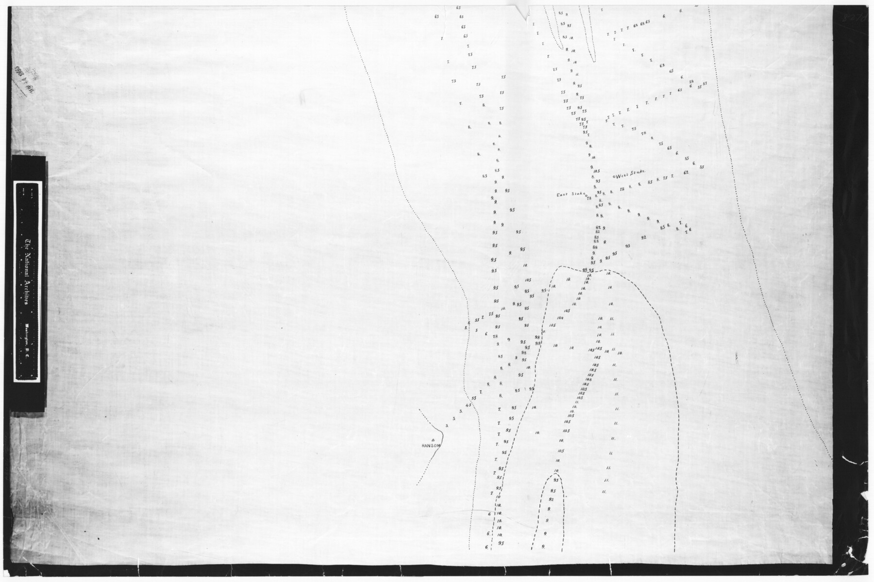
No. 3 Chart of Channel connecting Corpus Christi Bay with Aransas Bay, Texas
RL-2-8
-
Map/Doc
72784
-
Collection
General Map Collection
-
Object Dates
1878/9/17 (Creation Date)
-
People and Organizations
Corps of Engineers (Author)
W.H. Hoffman (Surveyor/Engineer)
H.C. Collins (Surveyor/Engineer)
H.S. Douglas (Surveyor/Engineer)
-
Counties
Nueces
-
Subjects
Nautical Charts
-
Height x Width
18.3 x 27.5 inches
46.5 x 69.9 cm
-
Comments
B/W photostat copy from National Archives in multiple pieces.
Part of: General Map Collection
Flight Mission No. CLL-1N, Frame 197, Willacy County

Print $20.00
- Digital $50.00
Flight Mission No. CLL-1N, Frame 197, Willacy County
1954
Size 18.4 x 22.1 inches
Map/Doc 87067
Brazoria County NRC Article 33.136 Sketch 26

Print $24.00
Brazoria County NRC Article 33.136 Sketch 26
2025
Map/Doc 97471
Andrews County Sketch File 7

Print $6.00
- Digital $50.00
Andrews County Sketch File 7
1942
Size 11.2 x 8.8 inches
Map/Doc 12828
Flight Mission No. BRE-2P, Frame 109, Nueces County

Print $20.00
- Digital $50.00
Flight Mission No. BRE-2P, Frame 109, Nueces County
1956
Size 18.6 x 22.5 inches
Map/Doc 86794
Tyler County Sketch File 1a

Print $4.00
- Digital $50.00
Tyler County Sketch File 1a
1855
Size 8.2 x 10.3 inches
Map/Doc 38609
Palo Pinto County Working Sketch 6

Print $20.00
- Digital $50.00
Palo Pinto County Working Sketch 6
1921
Map/Doc 71389
[Map] of Goliad Land District
![3586, [Map] of Goliad Land District, General Map Collection](https://historictexasmaps.com/wmedia_w700/maps/3586-1.tif.jpg)
Print $20.00
- Digital $50.00
[Map] of Goliad Land District
1856
Size 33.5 x 25.2 inches
Map/Doc 3586
Jackson County Working Sketch 7

Print $20.00
- Digital $50.00
Jackson County Working Sketch 7
1973
Size 35.7 x 27.1 inches
Map/Doc 66455
Wharton County Sketch File 11

Print $4.00
- Digital $50.00
Wharton County Sketch File 11
1891
Size 9.1 x 12.3 inches
Map/Doc 39933
Henderson County Working Sketch 42

Print $20.00
- Digital $50.00
Henderson County Working Sketch 42
1990
Size 23.5 x 24.6 inches
Map/Doc 66175
Flight Mission No. DQO-7K, Frame 81, Galveston County

Print $20.00
- Digital $50.00
Flight Mission No. DQO-7K, Frame 81, Galveston County
1952
Size 18.8 x 22.6 inches
Map/Doc 85108
Flight Mission No. DQN-1K, Frame 111, Calhoun County

Print $20.00
- Digital $50.00
Flight Mission No. DQN-1K, Frame 111, Calhoun County
1953
Size 18.5 x 22.2 inches
Map/Doc 84178
You may also like
Map of the Texas & Pacific Ry. Reserve West of the Pecos River

Print $40.00
- Digital $50.00
Map of the Texas & Pacific Ry. Reserve West of the Pecos River
1879
Size 55.4 x 118.1 inches
Map/Doc 96439
Flight Mission No. BRA-7M, Frame 135, Jefferson County

Print $20.00
- Digital $50.00
Flight Mission No. BRA-7M, Frame 135, Jefferson County
1953
Size 18.6 x 22.4 inches
Map/Doc 85529
Greer County Sketch File 4

Print $4.00
- Digital $50.00
Greer County Sketch File 4
1883
Size 8.6 x 5.5 inches
Map/Doc 24519
Flight Mission No. BRA-16M, Frame 83, Jefferson County

Print $20.00
- Digital $50.00
Flight Mission No. BRA-16M, Frame 83, Jefferson County
1953
Size 18.5 x 22.3 inches
Map/Doc 85695
Brewster County Sketch File N-8

Print $12.00
- Digital $50.00
Brewster County Sketch File N-8
1914
Size 10.8 x 8.6 inches
Map/Doc 15610
Jeff Davis County Rolled Sketch 19A

Print $20.00
- Digital $50.00
Jeff Davis County Rolled Sketch 19A
Size 33.3 x 39.0 inches
Map/Doc 9266
Galveston Harbor and Channel, Texas - Rehabilitation of Beachfront Groins - Present Construction

Print $4.00
- Digital $50.00
Galveston Harbor and Channel, Texas - Rehabilitation of Beachfront Groins - Present Construction
1967
Size 15.6 x 21.0 inches
Map/Doc 73619
Clemens Farm, State Prison System, Brazoria County

Print $4.00
- Digital $50.00
Clemens Farm, State Prison System, Brazoria County
1932
Size 14.2 x 18.7 inches
Map/Doc 65274
Map of Polk County

Print $20.00
- Digital $50.00
Map of Polk County
1881
Size 25.7 x 21.1 inches
Map/Doc 3962
El Paso County Working Sketch 56

Print $40.00
- Digital $50.00
El Paso County Working Sketch 56
1971
Size 65.7 x 43.4 inches
Map/Doc 69078
General Highway Map, Cochran County, Texas

Print $20.00
General Highway Map, Cochran County, Texas
1940
Size 25.2 x 18.5 inches
Map/Doc 79048
Midland County Working Sketch 29

Print $40.00
- Digital $50.00
Midland County Working Sketch 29
1971
Size 49.4 x 35.6 inches
Map/Doc 71010