[Three-Marine League line stipulation as determined by US Supreme Court, October 1968 term; corrections to stipulation; Texas GLO approximations of county areas embraced by county boundaries, shoreline and 3-marine league line and 3-mile line]
N-1-103
-
Map/Doc
61371
-
Collection
General Map Collection
-
Object Dates
1962-1968 (Creation Date)
-
Subjects
Gulf of Mexico Legal
-
Height x Width
13.4 x 8.7 inches
34.0 x 22.1 cm
Part of: General Map Collection
Culberson County Rolled Sketch 29

Print $20.00
- Digital $50.00
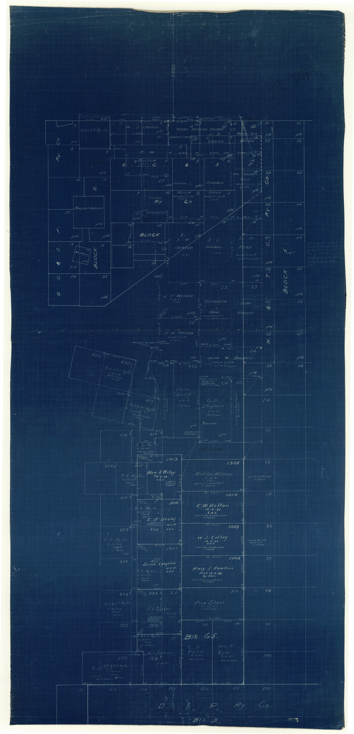
Culberson County Rolled Sketch 29
Size 44.3 x 21.4 inches
Map/Doc 8745
Hopkins County Sketch File 2

Print $28.00
- Digital $50.00
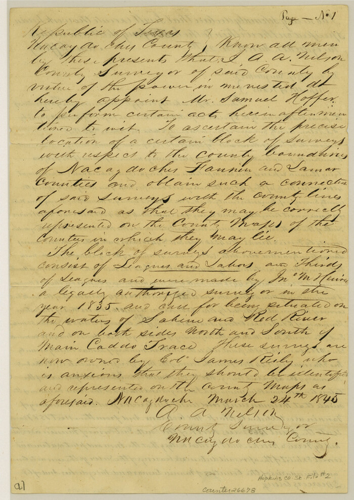
Hopkins County Sketch File 2
1845
Size 11.1 x 7.9 inches
Map/Doc 26678
Flight Mission No. BRA-7M, Frame 131, Jefferson County

Print $20.00
- Digital $50.00
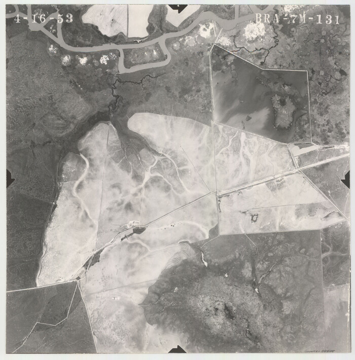
Flight Mission No. BRA-7M, Frame 131, Jefferson County
1953
Size 16.2 x 16.0 inches
Map/Doc 85525
Henderson County Sketch File 14


Print $4.00
- Digital $50.00
Henderson County Sketch File 14
1889
Size 10.7 x 7.3 inches
Map/Doc 26355
Marion County Working Sketch 15

Print $20.00
- Digital $50.00
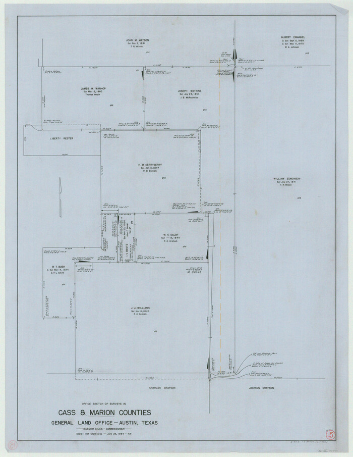
Marion County Working Sketch 15
1954
Size 37.3 x 28.8 inches
Map/Doc 70791
Jefferson County Rolled Sketch 25


Print $20.00
- Digital $50.00
Jefferson County Rolled Sketch 25
1939
Size 43.4 x 36.0 inches
Map/Doc 9290
Montague County Working Sketch 16
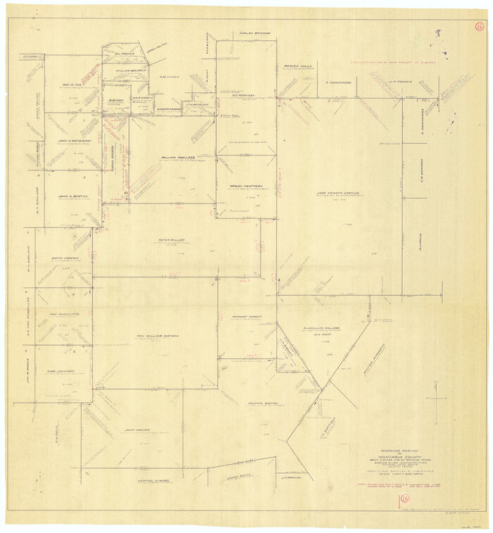

Print $20.00
- Digital $50.00
Montague County Working Sketch 16
1946
Size 44.1 x 40.8 inches
Map/Doc 71082
Flight Mission No. BRA-8M, Frame 120, Jefferson County
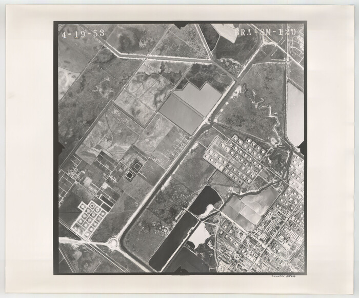

Print $20.00
- Digital $50.00
Flight Mission No. BRA-8M, Frame 120, Jefferson County
1953
Size 18.6 x 22.5 inches
Map/Doc 85616
Map of the Surveyed Part of Young District


Print $40.00
- Digital $50.00
Map of the Surveyed Part of Young District
1860
Size 56.2 x 54.7 inches
Map/Doc 1986
Montgomery County Sketch File 36
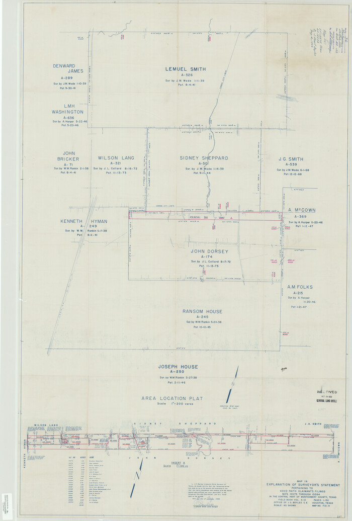

Print $40.00
- Digital $50.00
Montgomery County Sketch File 36
1953
Size 51.7 x 34.9 inches
Map/Doc 10551
Sutton County Sketch File 37
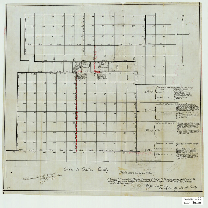

Print $20.00
- Digital $50.00
Sutton County Sketch File 37
Size 19.7 x 19.7 inches
Map/Doc 12387
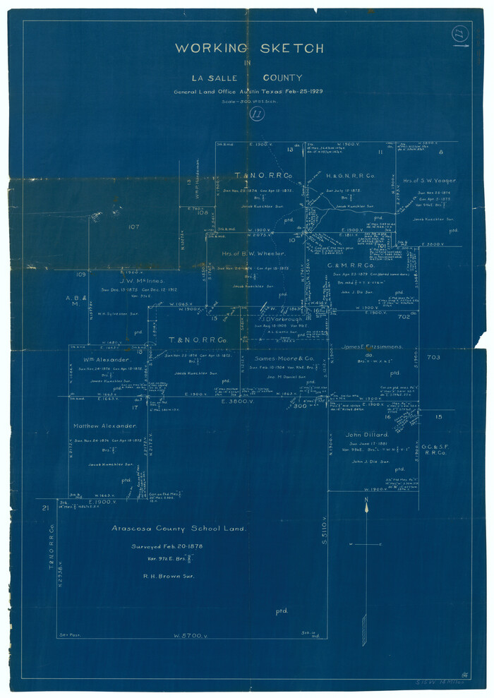
La Salle County Working Sketch 11

Print $20.00
- Digital $50.00
La Salle County Working Sketch 11
1929
Size 29.3 x 20.7 inches
Map/Doc 70312
You may also like
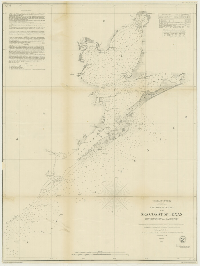
Preliminary Chart of the Sea Coast of Texas in the Vicinity of Galveston

Print $20.00
Preliminary Chart of the Sea Coast of Texas in the Vicinity of Galveston
1856
Size 26.3 x 19.7 inches
Map/Doc 76256
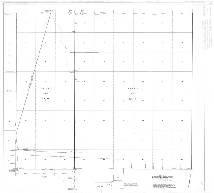
Ector County Rolled Sketch 9

Print $20.00
- Digital $50.00
Ector County Rolled Sketch 9
1940
Size 39.1 x 43.0 inches
Map/Doc 8837
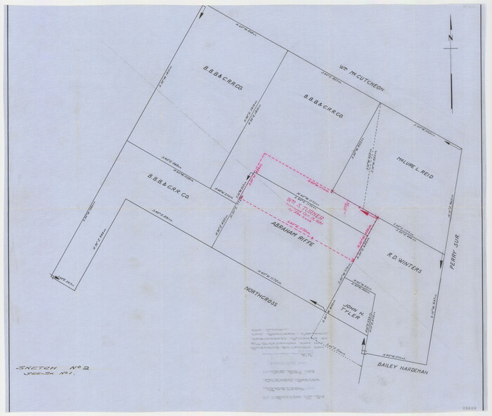
Bastrop County Sketch File 9A

Print $40.00
- Digital $50.00
Bastrop County Sketch File 9A
Map/Doc 88484
Palo Pinto County Sketch File 1


Print $20.00
- Digital $50.00
Palo Pinto County Sketch File 1
Size 18.8 x 23.5 inches
Map/Doc 12131
[Surveys in Bexar County]
![93, [Surveys in Bexar County], General Map Collection](https://historictexasmaps.com/wmedia_w700/maps/93.tif.jpg)
![93, [Surveys in Bexar County], General Map Collection](https://historictexasmaps.com/wmedia_w700/maps/93.tif.jpg)
Print $2.00
- Digital $50.00
[Surveys in Bexar County]
Size 11.3 x 6.9 inches
Map/Doc 93
Flight Mission No. DQO-2K, Frame 138, Galveston County


Print $20.00
- Digital $50.00
Flight Mission No. DQO-2K, Frame 138, Galveston County
1952
Size 18.8 x 22.6 inches
Map/Doc 85035
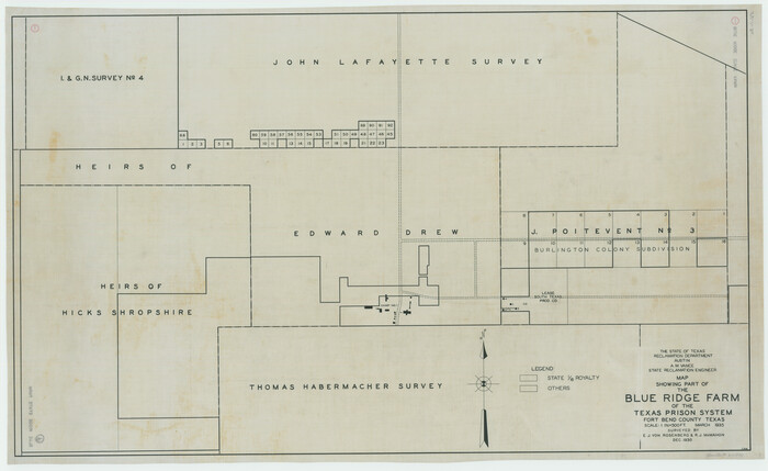
Map Showing Part of the Blue Ridge Farm of the Texas Prison System, Fort Bend County, Texas

Print $20.00
- Digital $50.00
Map Showing Part of the Blue Ridge Farm of the Texas Prison System, Fort Bend County, Texas
Size 22.2 x 36.2 inches
Map/Doc 62979
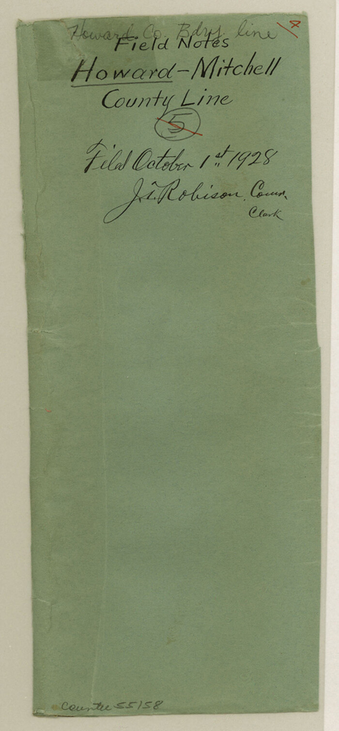
Howard County Boundary File 4

Print $16.00
- Digital $50.00
Howard County Boundary File 4
Size 9.4 x 4.3 inches
Map/Doc 55158
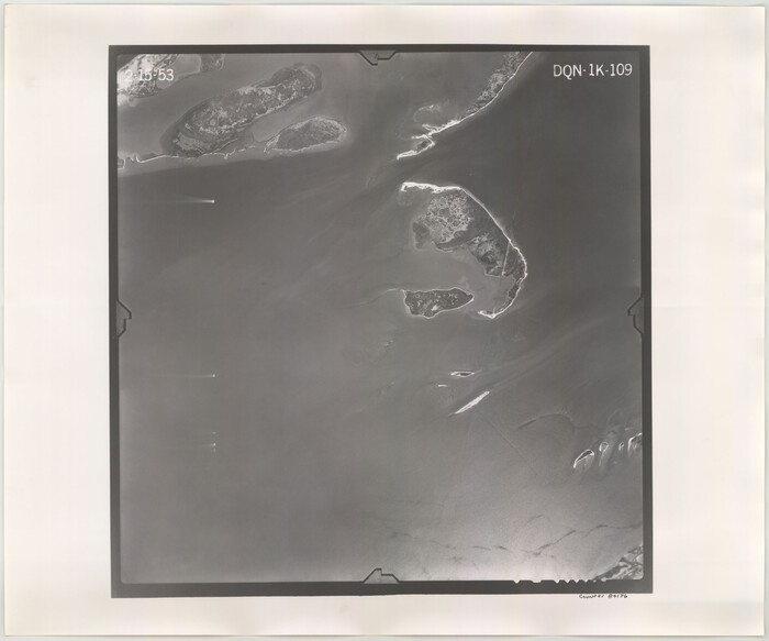
Flight Mission No. DQN-1K, Frame 109, Calhoun County

Print $20.00
- Digital $50.00
Flight Mission No. DQN-1K, Frame 109, Calhoun County
1953
Size 18.4 x 22.1 inches
Map/Doc 84176
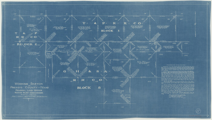
Presidio County Working Sketch 17

Print $20.00
- Digital $50.00
Presidio County Working Sketch 17
1943
Size 17.5 x 30.9 inches
Map/Doc 71693
Platts [sic] of S. C. Robertson Surveys
![105, Platts [sic] of S. C. Robertson Surveys, General Map Collection](https://historictexasmaps.com/wmedia_w700/maps/105.tif.jpg)
![105, Platts [sic] of S. C. Robertson Surveys, General Map Collection](https://historictexasmaps.com/wmedia_w700/maps/105.tif.jpg)
Print $20.00
- Digital $50.00
Platts [sic] of S. C. Robertson Surveys
1841
Size 13.6 x 15.7 inches
Map/Doc 105
![61371, [Three-Marine League line stipulation as determined by US Supreme Court, October 1968 term; corrections to stipulation; Texas GLO approximations of county areas embraced by county boundaries, shoreline and 3-marine league line and 3-mile line]](https://historictexasmaps.com/wmedia_w1800h1800/pdf_converted_jpg/qi_pdf_thumbnail_69420.jpg)
