[Gulf Coast of Texas]
RL-1-9b
- 
                          Map/Doc
72704
 - 
                            Collection
General Map Collection
 - 
                            Object Dates
1881 (Creation Date)
 - 
                            Subjects
Gulf of Mexico
 - 
                            Height x Width
28.7 x 18.2 inches
72.9 x 46.2 cm
 - 
                            Comments
B/W photostat copy from National Archives in multiple pieces.
 
Part of: General Map Collection
            Maverick County Rolled Sketch 16
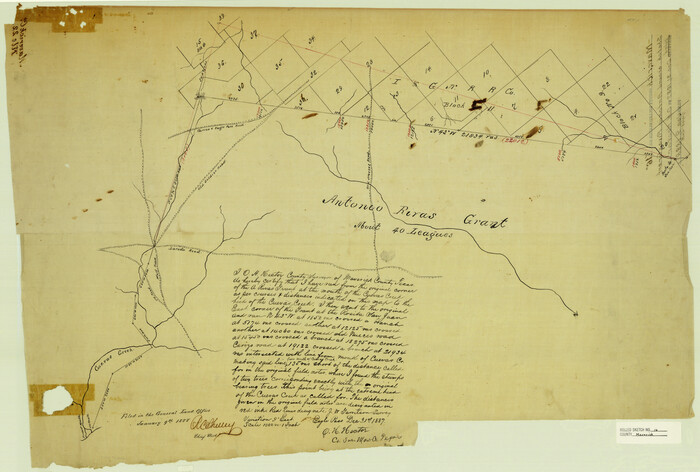


                                            Print $20.00                    
                                             -                         Digital $50.00                                    
                Maverick County Rolled Sketch 16
1887
Size 21.5 x 31.9 inches
                                Map/Doc 6709
            
            Flight Mission No. BRA-16M, Frame 102, Jefferson County


                                            Print $20.00                    
                                             -                         Digital $50.00                                    
                Flight Mission No. BRA-16M, Frame 102, Jefferson County
1953
Size 18.6 x 22.3 inches
                                Map/Doc 85714
            
            La Salle County Sketch File 14
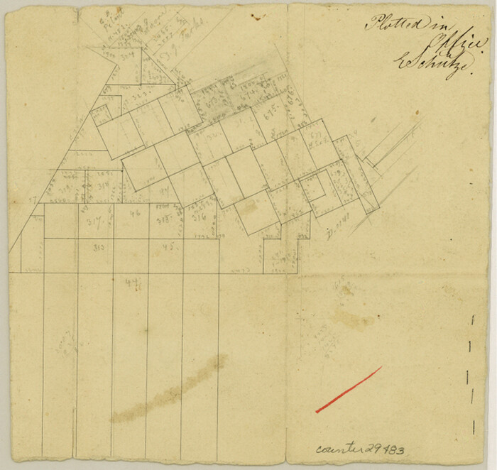


                                            Print $4.00                    
                                             -                         Digital $50.00                                    
                La Salle County Sketch File 14
Size 6.4 x 6.7 inches
                                Map/Doc 29483
            
            Morris County Rolled Sketch 2A
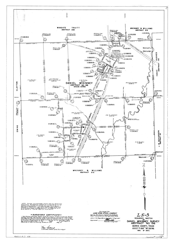


                                            Print $20.00                    
                                             -                         Digital $50.00                                    
                Morris County Rolled Sketch 2A
Size 34.7 x 24.7 inches
                                Map/Doc 10229
            
            Val Verde County Sketch File XXX5
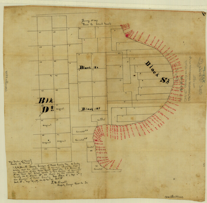


                                            Print $40.00                    
                                             -                         Digital $50.00                                    
                Val Verde County Sketch File XXX5
Size 13.2 x 13.4 inches
                                Map/Doc 39100
            
            Smith County Working Sketch 17
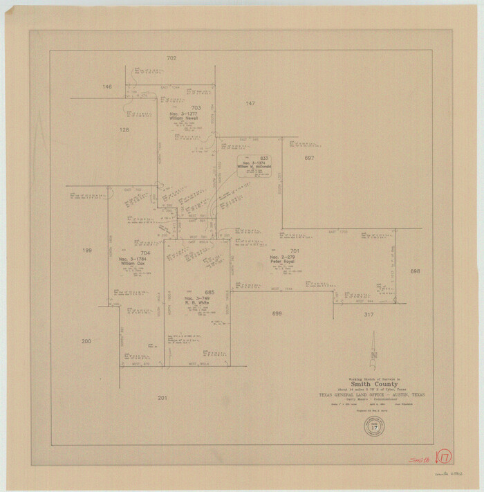


                                            Print $20.00                    
                                             -                         Digital $50.00                                    
                Smith County Working Sketch 17
1994
Size 24.6 x 24.2 inches
                                Map/Doc 63902
            
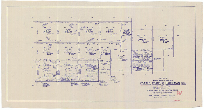
            Cottle County Working Sketch 20


                                            Print $20.00                    
                                             -                         Digital $50.00                                    
                Cottle County Working Sketch 20
1982
Size 19.9 x 37.0 inches
                                Map/Doc 68330
            
            Ellis County Working Sketch 3


                                            Print $40.00                    
                                             -                         Digital $50.00                                    
                Ellis County Working Sketch 3
1981
Size 39.1 x 50.0 inches
                                Map/Doc 69019
            
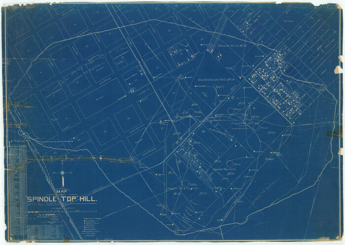
            Jefferson County Rolled Sketch 11


                                            Print $40.00                    
                                             -                         Digital $50.00                                    
                Jefferson County Rolled Sketch 11
Size 35.4 x 49.8 inches
                                Map/Doc 9277
            
            Map of the Texas & Pacific Railway from Fort Worth to El Paso


                                            Print $40.00                    
                                             -                         Digital $50.00                                    
                Map of the Texas & Pacific Railway from Fort Worth to El Paso
Size 24.0 x 76.5 inches
                                Map/Doc 64511
            
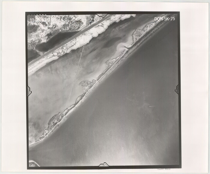
            Flight Mission No. DQN-5K, Frame 75, Calhoun County


                                            Print $20.00                    
                                             -                         Digital $50.00                                    
                Flight Mission No. DQN-5K, Frame 75, Calhoun County
1953
Size 18.4 x 22.1 inches
                                Map/Doc 84408
            You may also like
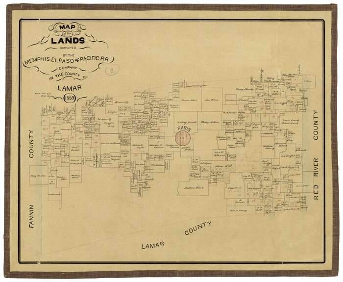
            Map of the Lands Surveyed by the Memphis, El Paso & Pacific R.R. Company


                                            Print $20.00                    
                                             -                         Digital $50.00                                    
                Map of the Lands Surveyed by the Memphis, El Paso & Pacific R.R. Company
1859
Size 15.8 x 19.0 inches
                                Map/Doc 4844
            
            Floyd County Sketch File 6


                                            Print $2.00                    
                                             -                         Digital $50.00                                    
                Floyd County Sketch File 6
Size 9.1 x 14.4 inches
                                Map/Doc 22696
            
            The Texas Coast Country and What It Holds for You


            The Texas Coast Country and What It Holds for You
1909
Size 6.4 x 3.7 inches
                                Map/Doc 97054
            
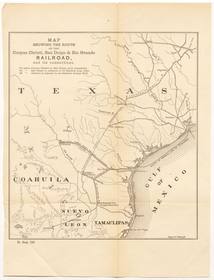
            Map showing the route of the Corpus Christi, San Diego & Rio Grande Railroad, and its connections


                                            Print $20.00                    
                                             -                         Digital $50.00                                    
                Map showing the route of the Corpus Christi, San Diego & Rio Grande Railroad, and its connections
1880
Size 11.9 x 9.1 inches
                                Map/Doc 96765
            
            Cass County Sketch File 7


                                            Print $4.00                    
                                             -                         Digital $50.00                                    
                Cass County Sketch File 7
1853
Size 8.0 x 12.6 inches
                                Map/Doc 17408
            
            Map of Fort Worth


                                            Print $40.00                    
                                             -                         Digital $50.00                                    
                Map of Fort Worth
1902
Size 61.3 x 34.8 inches
                                Map/Doc 93274
            
            [Surveys in Milam District between the Bosque and Brazos Rivers]


                                            Print $20.00                    
                                             -                         Digital $50.00                                    
                [Surveys in Milam District between the Bosque and Brazos Rivers]
1847
Size 15.8 x 12.2 inches
                                Map/Doc 3
            
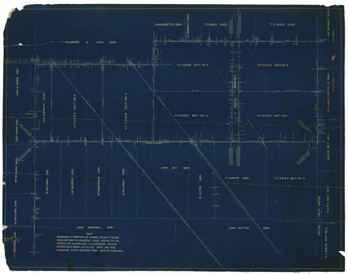
            Harris County Rolled Sketch 63


                                            Print $40.00                    
                                             -                         Digital $50.00                                    
                Harris County Rolled Sketch 63
1936
Size 41.4 x 52.5 inches
                                Map/Doc 9120
            
            Burleson County Working Sketch 17


                                            Print $20.00                    
                                             -                         Digital $50.00                                    
                Burleson County Working Sketch 17
1980
Size 20.5 x 37.6 inches
                                Map/Doc 67736
            
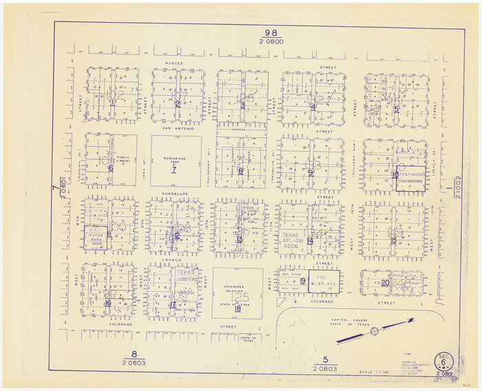
            Travis County Appraisal District Plat Map 2_0801


                                            Print $20.00                    
                                             -                         Digital $50.00                                    
                Travis County Appraisal District Plat Map 2_0801
Size 21.4 x 26.4 inches
                                Map/Doc 94237