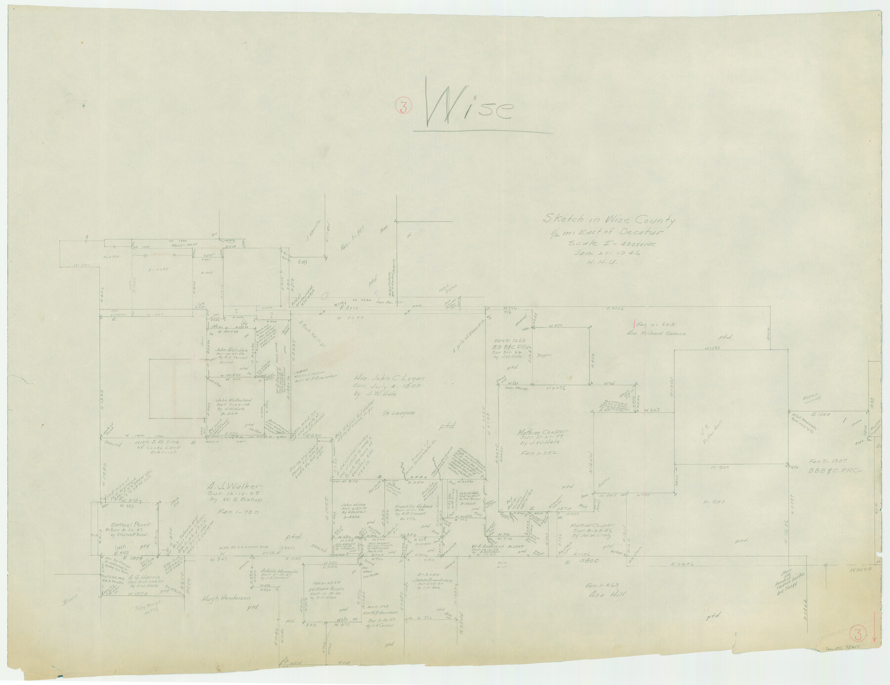
Wise County Working Sketch 3
-
Map/Doc
72617
-
Collection
General Map Collection
-
Object Dates
1/21/1946 (Creation Date)
-
People and Organizations
Herbert H. Ulbricht (Draftsman)
-
Counties
Wise
-
Subjects
Surveying Working Sketch
-
Height x Width
28.4 x 36.9 inches
72.1 x 93.7 cm
-
Scale
1" = 400 varas
Part of: General Map Collection

Live Oak County Working Sketch 1

Print $20.00
- Digital $50.00
Live Oak County Working Sketch 1
Size 20.4 x 29.1 inches
Map/Doc 70586
Brewster County Rolled Sketch 144A

Print $40.00
- Digital $50.00
Brewster County Rolled Sketch 144A
Size 53.4 x 43.5 inches
Map/Doc 9195
Presidio County Working Sketch 100

Print $20.00
- Digital $50.00
Presidio County Working Sketch 100
1979
Size 45.7 x 34.5 inches
Map/Doc 71777
Comal County Working Sketch 13

Print $20.00
- Digital $50.00
Comal County Working Sketch 13
1988
Size 32.6 x 21.3 inches
Map/Doc 68179
Mexico, Regia et Celebris Hispaniae Novae Civitas [and] Cusco, Rengi Peru in Novo Orbe Casvt
![97025, Mexico, Regia et Celebris Hispaniae Novae Civitas [and] Cusco, Rengi Peru in Novo Orbe Casvt, General Map Collection](https://historictexasmaps.com/wmedia_w700/maps/97025-1.tif.jpg)
Print $20.00
- Digital $50.00
Mexico, Regia et Celebris Hispaniae Novae Civitas [and] Cusco, Rengi Peru in Novo Orbe Casvt
1572
Size 13.8 x 20.1 inches
Map/Doc 97025
[Sketch for Mineral Application 26543 - Sabine River, D. H. Sanford]
![65677, [Sketch for Mineral Application 26543 - Sabine River, D. H. Sanford], General Map Collection](https://historictexasmaps.com/wmedia_w700/maps/65677.tif.jpg)
Print $40.00
- Digital $50.00
[Sketch for Mineral Application 26543 - Sabine River, D. H. Sanford]
1931
Size 30.8 x 71.9 inches
Map/Doc 65677
Matagorda County Sketch File 40

Print $20.00
- Digital $50.00
Matagorda County Sketch File 40
Size 33.0 x 25.5 inches
Map/Doc 12048
Sabine Pass and mouth of the River Sabine in the sea

Print $20.00
- Digital $50.00
Sabine Pass and mouth of the River Sabine in the sea
1840
Size 22.5 x 18.4 inches
Map/Doc 65382
Northwest Part Pecos County

Print $20.00
- Digital $50.00
Northwest Part Pecos County
1975
Size 43.4 x 44.2 inches
Map/Doc 95612
Tom Green County Sketch File 84

Print $20.00
- Digital $50.00
Tom Green County Sketch File 84
1890
Size 20.6 x 18.5 inches
Map/Doc 12456
[Maps of surveys in Reeves & Culberson Cos]
![61145, [Maps of surveys in Reeves & Culberson Cos], General Map Collection](https://historictexasmaps.com/wmedia_w700/maps/61145.tif.jpg)
Print $20.00
- Digital $50.00
[Maps of surveys in Reeves & Culberson Cos]
1937
Size 30.8 x 25.0 inches
Map/Doc 61145
You may also like
Brazos River Conservation and Reclamation District Official Boundary Line Survey

Print $20.00
- Digital $50.00
Brazos River Conservation and Reclamation District Official Boundary Line Survey
Size 25.0 x 37.0 inches
Map/Doc 90182
English Field Notes of the Spanish Archives - Book S

English Field Notes of the Spanish Archives - Book S
1835
Map/Doc 96543
Sketch E. No. 2 Shewing the progress of the Survey in the vicinity of Savannah, Georgia

Print $20.00
- Digital $50.00
Sketch E. No. 2 Shewing the progress of the Survey in the vicinity of Savannah, Georgia
1850
Size 11.0 x 9.9 inches
Map/Doc 97214
[Area around Lee County School Land Leagues]
![90804, [Area around Lee County School Land Leagues], Twichell Survey Records](https://historictexasmaps.com/wmedia_w700/maps/90804-1.tif.jpg)
Print $3.00
- Digital $50.00
[Area around Lee County School Land Leagues]
Size 9.7 x 15.2 inches
Map/Doc 90804
Travis County

Print $40.00
- Digital $50.00
Travis County
1963
Size 37.7 x 50.7 inches
Map/Doc 73597
[Blocks N and B]
![90498, [Blocks N and B], Twichell Survey Records](https://historictexasmaps.com/wmedia_w700/maps/90498-1.tif.jpg)
Print $3.00
- Digital $50.00
[Blocks N and B]
Size 10.0 x 11.4 inches
Map/Doc 90498
Culberson County Sketch File 5a

Print $44.00
- Digital $50.00
Culberson County Sketch File 5a
Size 14.2 x 8.8 inches
Map/Doc 20169
Williamson County Boundary File 1a

Print $4.00
- Digital $50.00
Williamson County Boundary File 1a
Size 11.0 x 8.4 inches
Map/Doc 59990
Harris County Working Sketch 8

Print $20.00
- Digital $50.00
Harris County Working Sketch 8
1904
Size 26.8 x 23.3 inches
Map/Doc 65900
Plat of a survey of the North part of section 16, Block 362, Martha McBride, Presidio County, Texas

Print $20.00
- Digital $50.00
Plat of a survey of the North part of section 16, Block 362, Martha McBride, Presidio County, Texas
1989
Size 24.3 x 36.1 inches
Map/Doc 60523
Walker County Working Sketch 10

Print $20.00
- Digital $50.00
Walker County Working Sketch 10
1935
Size 19.3 x 19.9 inches
Map/Doc 72290
Harris County Sketch File 63

Print $21.00
- Digital $50.00
Harris County Sketch File 63
Size 4.3 x 6.4 inches
Map/Doc 25493