[Sketch for Mineral Application 26543 - Sabine River, D. H. Sanford]
K-1-6
-
Map/Doc
65677
-
Collection
General Map Collection
-
Object Dates
1931 (Creation Date)
-
Height x Width
30.8 x 71.9 inches
78.2 x 182.6 cm
Part of: General Map Collection
Hardeman County Aerial Photograph Index Sheet 4
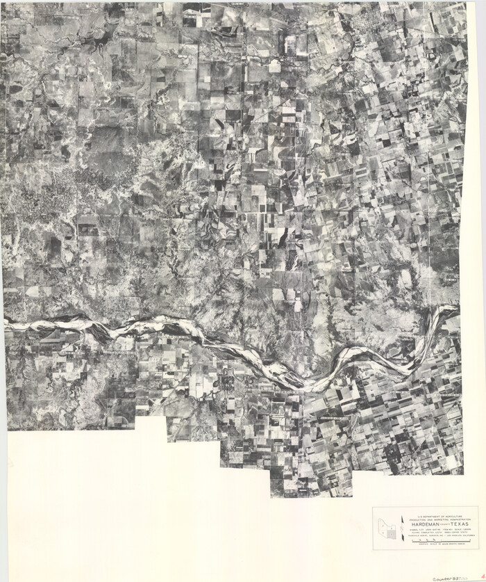

Print $20.00
- Digital $50.00
Hardeman County Aerial Photograph Index Sheet 4
1950
Size 20.3 x 17.0 inches
Map/Doc 83700
Shelby County Sketch File 34


Print $3.00
- Digital $50.00
Shelby County Sketch File 34
1847
Size 10.1 x 15.7 inches
Map/Doc 36674
Freestone County Working Sketch 31


Print $20.00
- Digital $50.00
Freestone County Working Sketch 31
1995
Size 42.8 x 33.9 inches
Map/Doc 78205
Harris County Rolled Sketch WB


Print $20.00
- Digital $50.00
Harris County Rolled Sketch WB
1916
Size 15.5 x 21.1 inches
Map/Doc 6147
Hunt County Sketch File 19
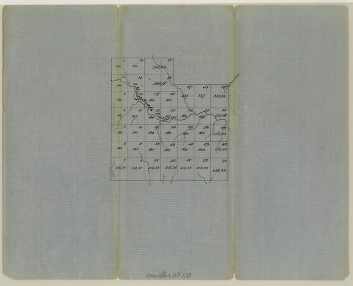

Print $4.00
- Digital $50.00
Hunt County Sketch File 19
Size 8.2 x 10.1 inches
Map/Doc 27118
Flight Mission No. DQN-1K, Frame 121, Calhoun County


Print $20.00
- Digital $50.00
Flight Mission No. DQN-1K, Frame 121, Calhoun County
1953
Size 18.6 x 22.2 inches
Map/Doc 84187
Harris County Aerial Photograph Index Sheet 9
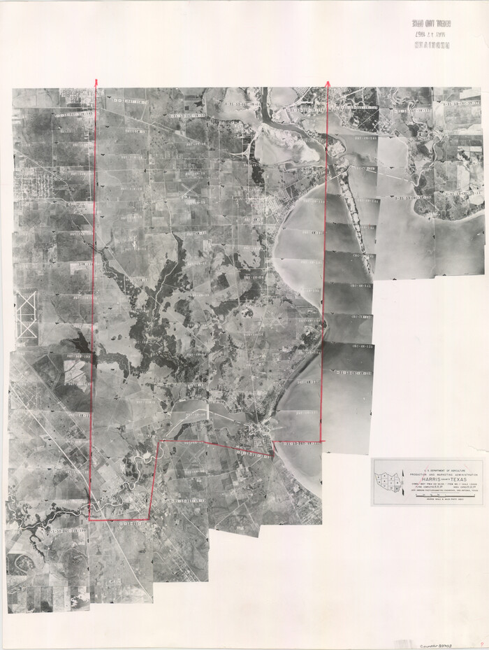

Print $20.00
- Digital $50.00
Harris County Aerial Photograph Index Sheet 9
1953
Size 22.1 x 16.6 inches
Map/Doc 83703
Crockett County Working Sketch 77
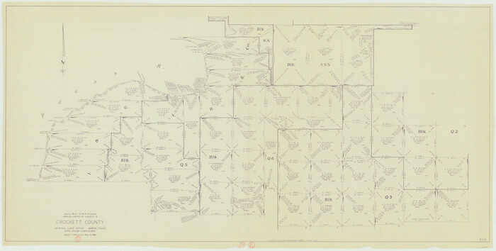

Print $40.00
- Digital $50.00
Crockett County Working Sketch 77
1966
Size 29.6 x 58.5 inches
Map/Doc 68410
Val Verde County Rolled Sketch 38


Print $20.00
- Digital $50.00
Val Verde County Rolled Sketch 38
Size 30.4 x 19.5 inches
Map/Doc 61781
Throckmorton County Rolled Sketch 6A


Print $20.00
- Digital $50.00
Throckmorton County Rolled Sketch 6A
2004
Size 20.3 x 24.3 inches
Map/Doc 82489
Fannin County Boundary File 1a


Print $40.00
- Digital $50.00
Fannin County Boundary File 1a
1882
Size 36.5 x 9.5 inches
Map/Doc 53279
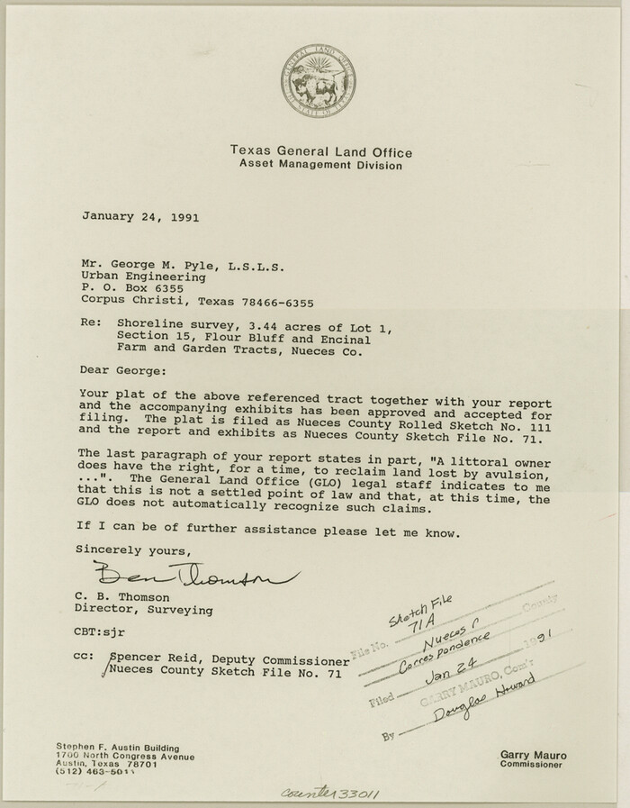
Nueces County Sketch File 71

Print $19.00
- Digital $50.00
Nueces County Sketch File 71
1991
Size 11.2 x 8.7 inches
Map/Doc 33011
You may also like
Montgomery County

Print $20.00
- Digital $50.00
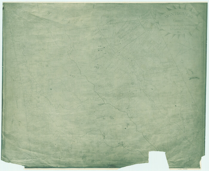
Montgomery County
1861
Size 18.5 x 22.6 inches
Map/Doc 78283
Survey Gulf to Beaumont and Orange, Texas

Print $20.00
- Digital $50.00
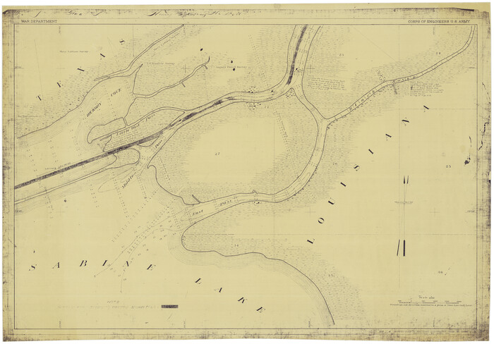
Survey Gulf to Beaumont and Orange, Texas
1929
Size 29.3 x 41.7 inches
Map/Doc 3089
Bailey County Rolled Sketch RSH

Print $20.00
- Digital $50.00
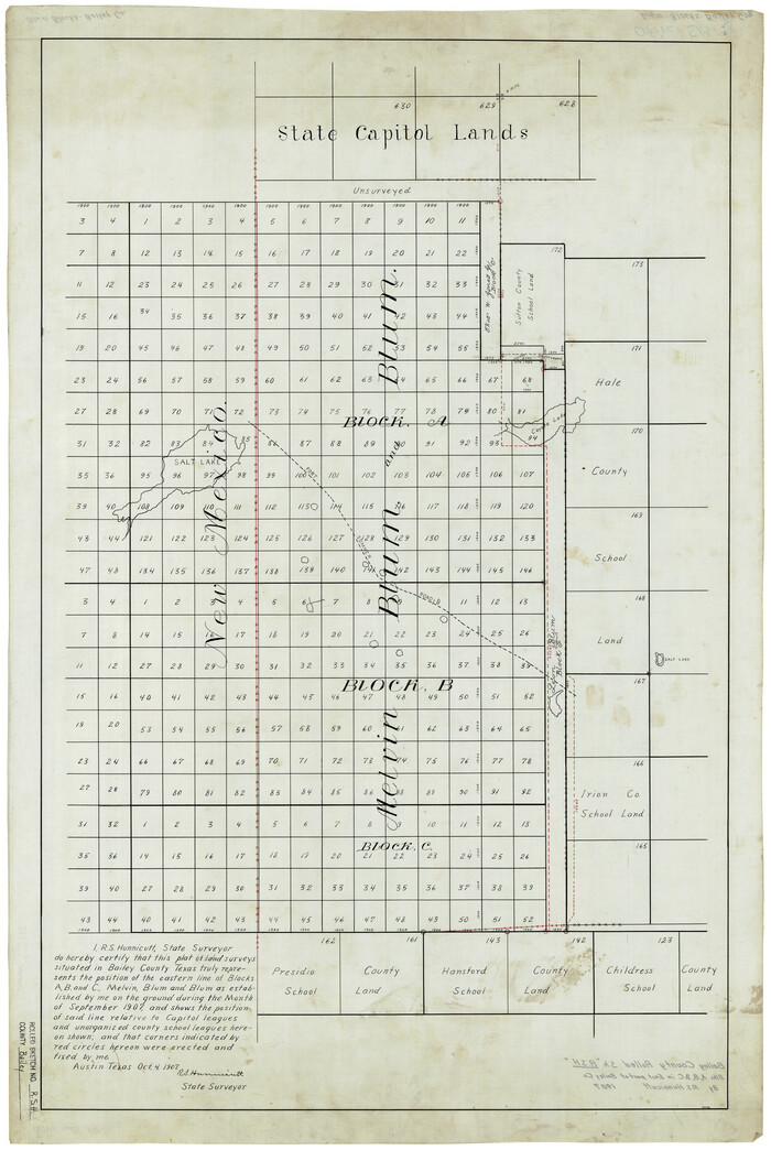
Bailey County Rolled Sketch RSH
1907
Size 34.3 x 23.3 inches
Map/Doc 5112
Chambers County Working Sketch 27
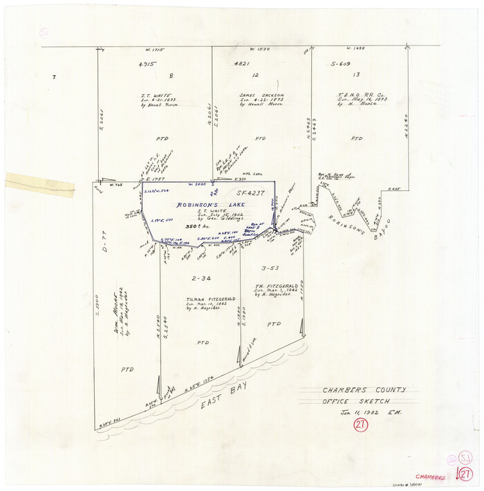

Print $20.00
- Digital $50.00
Chambers County Working Sketch 27
1982
Size 24.9 x 25.2 inches
Map/Doc 68010
Map of Carson County
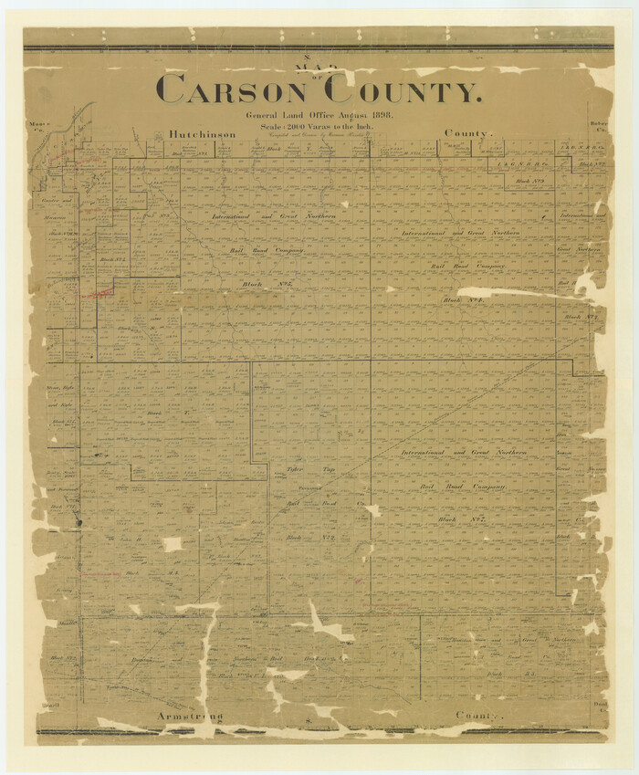

Print $20.00
- Digital $50.00
Map of Carson County
1898
Size 41.2 x 33.8 inches
Map/Doc 4750
Cherokee County Sketch File 32


Print $20.00
- Digital $50.00
Cherokee County Sketch File 32
Size 45.2 x 30.0 inches
Map/Doc 10334
Montgomery County
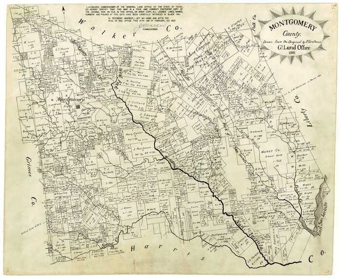

Print $20.00
- Digital $50.00
Montgomery County
1861
Size 18.4 x 22.3 inches
Map/Doc 3890
Willacy County Sketch File 1a
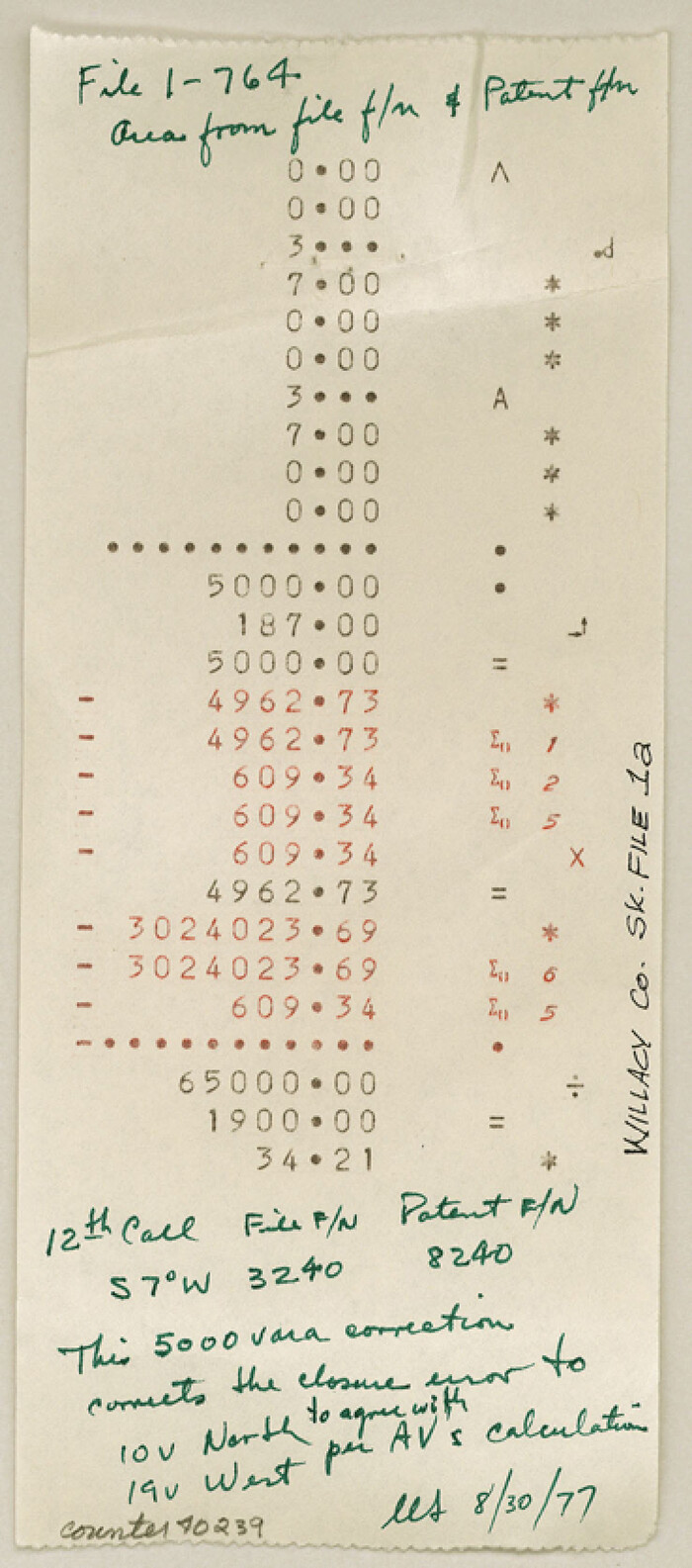

Print $272.00
- Digital $50.00
Willacy County Sketch File 1a
1977
Size 8.3 x 3.7 inches
Map/Doc 40239
Hidalgo County Sketch File 1

Print $40.00
- Digital $50.00
Hidalgo County Sketch File 1
Size 20.2 x 12.0 inches
Map/Doc 26392
Edwards County Sketch File 34


Print $20.00
- Digital $50.00
Edwards County Sketch File 34
Size 16.8 x 19.0 inches
Map/Doc 11434
Nueces County NRC Article 33.136 Sketch 17

Print $26.00
- Digital $50.00
Nueces County NRC Article 33.136 Sketch 17
2013
Size 18.0 x 24.0 inches
Map/Doc 94487
Chambers County Sketch File 1

Print $4.00
- Digital $50.00
Chambers County Sketch File 1
1856
Size 7.8 x 12.2 inches
Map/Doc 17516
![65677, [Sketch for Mineral Application 26543 - Sabine River, D. H. Sanford], General Map Collection](https://historictexasmaps.com/wmedia_w1800h1800/maps/65677.tif.jpg)