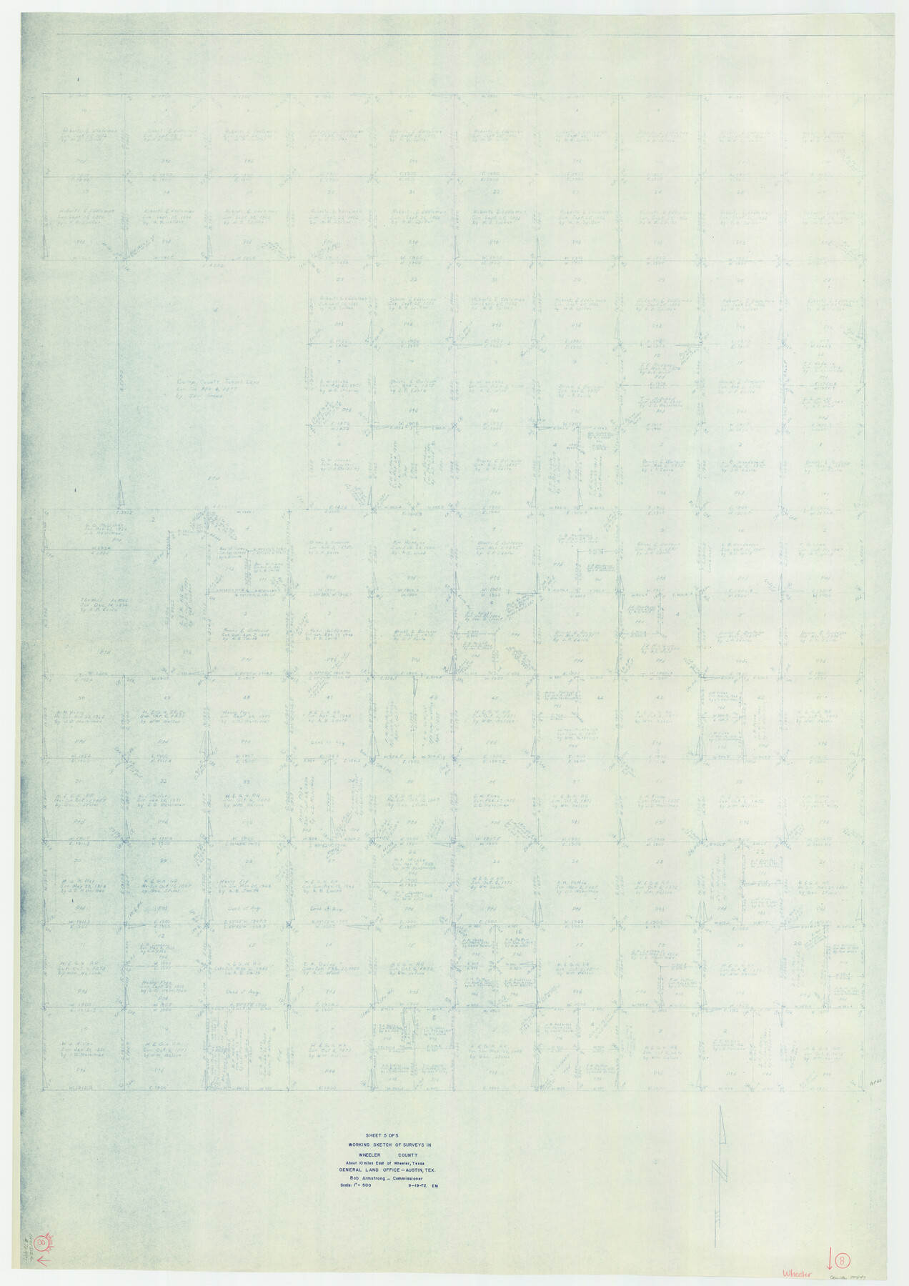
Wheeler County Working Sketch 8
-
Map/Doc
72497
-
Collection
General Map Collection
-
Object Dates
9/19/1972 (Creation Date)
-
People and Organizations
Elbert Menzel (Draftsman)
-
Counties
Wheeler
-
Subjects
Surveying Working Sketch
-
Height x Width
59.4 x 42.0 inches
150.9 x 106.7 cm
-
Scale
1" = 500 varas
Part of: General Map Collection
Briscoe County Sketch File 14

Print $20.00
- Digital $50.00
Briscoe County Sketch File 14
1910
Size 14.2 x 8.5 inches
Map/Doc 16509
Travis County Sketch File 62

Print $20.00
- Digital $50.00
Travis County Sketch File 62
1929
Size 20.6 x 18.2 inches
Map/Doc 12473
Tyler County Sketch File 6-1

Print $6.00
- Digital $50.00
Tyler County Sketch File 6-1
1861
Size 13.3 x 9.3 inches
Map/Doc 38633
Brewster County Rolled Sketch RSH

Print $20.00
- Digital $50.00
Brewster County Rolled Sketch RSH
Size 31.9 x 28.3 inches
Map/Doc 5324
Matagorda County NRC Article 33.136 Location Key Sheet

Print $20.00
- Digital $50.00
Matagorda County NRC Article 33.136 Location Key Sheet
1973
Size 27.0 x 23.0 inches
Map/Doc 88832
Brazoria County NRC Article 33.136 Sketch 10

Print $23.00
- Digital $50.00
Brazoria County NRC Article 33.136 Sketch 10
2007
Size 25.7 x 35.7 inches
Map/Doc 87933
Copy of Surveyor's Field Book, Morris Browning - In Blocks 7, 5 & 4, I&GNRRCo., Hutchinson and Carson Counties, Texas

Print $2.00
- Digital $50.00
Copy of Surveyor's Field Book, Morris Browning - In Blocks 7, 5 & 4, I&GNRRCo., Hutchinson and Carson Counties, Texas
1888
Size 6.9 x 8.8 inches
Map/Doc 62275
Edwards County Sketch File 7

Print $26.00
- Digital $50.00
Edwards County Sketch File 7
1880
Size 8.0 x 7.9 inches
Map/Doc 21684
Right of Way and Track Map, International & Gt. Northern Ry. Operated by the International & Gt. Northern Ry. Co., Gulf Division

Print $40.00
- Digital $50.00
Right of Way and Track Map, International & Gt. Northern Ry. Operated by the International & Gt. Northern Ry. Co., Gulf Division
1917
Size 25.0 x 56.5 inches
Map/Doc 64248
Flight Mission No. BRA-7M, Frame 34, Jefferson County

Print $20.00
- Digital $50.00
Flight Mission No. BRA-7M, Frame 34, Jefferson County
1953
Size 18.6 x 22.3 inches
Map/Doc 85485
Cameron County Boundary File 2

Print $60.00
- Digital $50.00
Cameron County Boundary File 2
Size 47.8 x 22.1 inches
Map/Doc 51095
Map of Collin County

Print $20.00
- Digital $50.00
Map of Collin County
1850
Size 18.1 x 22.5 inches
Map/Doc 4519
You may also like
Corpus Christi Bay in Nueces County, showing Subdivision for Mineral Development

Print $40.00
- Digital $50.00
Corpus Christi Bay in Nueces County, showing Subdivision for Mineral Development
1950
Size 48.4 x 36.0 inches
Map/Doc 1917
[Sketch of Block A1 in Hartley County]
![90762, [Sketch of Block A1 in Hartley County], Twichell Survey Records](https://historictexasmaps.com/wmedia_w700/maps/90762-1.tif.jpg)
Print $20.00
- Digital $50.00
[Sketch of Block A1 in Hartley County]
1902
Size 11.3 x 21.4 inches
Map/Doc 90762
Kaufman County Working Sketch 4

Print $40.00
- Digital $50.00
Kaufman County Working Sketch 4
1922
Size 52.1 x 36.2 inches
Map/Doc 66667

Flight Mission No. DQN-1K, Frame 136, Calhoun County

Print $20.00
- Digital $50.00
Flight Mission No. DQN-1K, Frame 136, Calhoun County
1953
Size 18.5 x 22.3 inches
Map/Doc 84199
Hutchinson County Sketch File 14

Print $20.00
- Digital $50.00
Hutchinson County Sketch File 14
1920
Size 21.5 x 33.8 inches
Map/Doc 11812
Map of Blanco County

Print $20.00
- Digital $50.00
Map of Blanco County
1880
Size 23.9 x 18.2 inches
Map/Doc 3306
Montgomery County Working Sketch 61

Print $20.00
- Digital $50.00
Montgomery County Working Sketch 61
1963
Size 25.6 x 19.9 inches
Map/Doc 71168
Amistad International Reservoir on Rio Grande 95

Print $20.00
- Digital $50.00
Amistad International Reservoir on Rio Grande 95
1950
Size 28.5 x 40.1 inches
Map/Doc 75525
Tyler County Rolled Sketch 4

Print $20.00
- Digital $50.00
Tyler County Rolled Sketch 4
1952
Size 38.9 x 44.0 inches
Map/Doc 10028
Burleson County Working Sketch 15

Print $20.00
- Digital $50.00
Burleson County Working Sketch 15
1980
Size 15.0 x 21.1 inches
Map/Doc 67734
Concho County Rolled Sketch 23

Print $20.00
- Digital $50.00
Concho County Rolled Sketch 23
1971
Size 22.8 x 22.4 inches
Map/Doc 78463