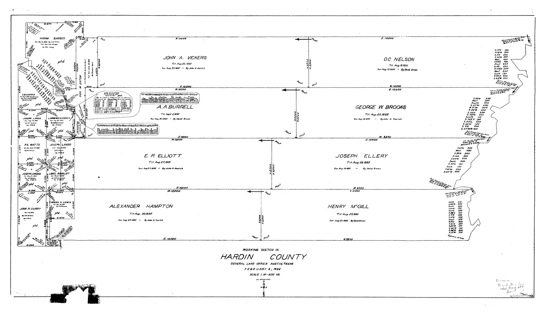
Hardin County Rolled Sketch WS
Working sketch in Hardin County
-
Map/Doc
9104
-
Collection
General Map Collection
-
Object Dates
1936/2/8 (Creation Date)
-
People and Organizations
J.L. Woodland (Draftsman)
-
Counties
Hardin
-
Subjects
Surveying Rolled Sketch
-
Height x Width
25.4 x 43.9 inches
64.5 x 111.5 cm
-
Scale
1" = 600 varas
Part of: General Map Collection
[Surveys in the Jefferson District]
![69726, [Surveys in the Jefferson District], General Map Collection](https://historictexasmaps.com/wmedia_w700/maps/69726-1.tif.jpg)
Print $20.00
- Digital $50.00
[Surveys in the Jefferson District]
1841
Size 14.6 x 21.2 inches
Map/Doc 69726
Cooke County Boundary File 1

Print $4.00
- Digital $50.00
Cooke County Boundary File 1
Size 12.6 x 7.5 inches
Map/Doc 51826
Bell County Sketch File 21

Print $4.00
- Digital $50.00
Bell County Sketch File 21
1871
Size 8.0 x 9.7 inches
Map/Doc 14410

Robertson County Working Sketch 8

Print $20.00
- Digital $50.00
Robertson County Working Sketch 8
1983
Size 36.7 x 38.7 inches
Map/Doc 63581
Menard County Working Sketch 31

Print $20.00
- Digital $50.00
Menard County Working Sketch 31
1980
Size 25.6 x 24.5 inches
Map/Doc 70978
Tom Green County Rolled Sketch 26

Print $40.00
- Digital $50.00
Tom Green County Rolled Sketch 26
Size 40.0 x 48.3 inches
Map/Doc 10007
Walker County Working Sketch 4

Print $20.00
- Digital $50.00
Walker County Working Sketch 4
1934
Size 34.9 x 29.7 inches
Map/Doc 72284
Hidalgo County Working Sketch Graphic Index

Print $20.00
- Digital $50.00
Hidalgo County Working Sketch Graphic Index
1977
Size 45.7 x 34.7 inches
Map/Doc 76577
Harris County Working Sketch 14

Print $20.00
- Digital $50.00
Harris County Working Sketch 14
Size 18.9 x 17.4 inches
Map/Doc 65906
Chambers County NRC Article 33.136 Sketch 13

Print $22.00
Chambers County NRC Article 33.136 Sketch 13
Size 35.9 x 23.2 inches
Map/Doc 97014
Kinney County

Print $40.00
- Digital $50.00
Kinney County
1909
Size 48.4 x 42.7 inches
Map/Doc 16868
You may also like
Dimmit County Rolled Sketch 22

Print $20.00
- Digital $50.00
Dimmit County Rolled Sketch 22
2012
Size 31.5 x 24.0 inches
Map/Doc 93629
Hunt County Working Sketch 8

Print $20.00
- Digital $50.00
Hunt County Working Sketch 8
1958
Size 24.5 x 24.4 inches
Map/Doc 66355
Bandera County Working Sketch 25

Print $20.00
- Digital $50.00
Bandera County Working Sketch 25
1950
Size 30.4 x 38.5 inches
Map/Doc 67621
Leon County Sketch File 28

Print $8.00
- Digital $50.00
Leon County Sketch File 28
1951
Size 11.2 x 8.7 inches
Map/Doc 29821
Galveston County Sketch File 45

Print $20.00
- Digital $50.00
Galveston County Sketch File 45
1930
Size 19.5 x 23.2 inches
Map/Doc 11540
Ward County Rolled Sketch 9

Print $40.00
- Digital $50.00
Ward County Rolled Sketch 9
1936
Size 51.5 x 41.9 inches
Map/Doc 10105
Childress Co.

Print $20.00
- Digital $50.00
Childress Co.
1978
Size 47.3 x 36.0 inches
Map/Doc 95454
Val Verde County Working Sketch 97

Print $20.00
- Digital $50.00
Val Verde County Working Sketch 97
1980
Size 41.7 x 47.6 inches
Map/Doc 72232
Glasscock County Sketch File 18

Print $8.00
- Digital $50.00
Glasscock County Sketch File 18
1931
Size 9.7 x 6.2 inches
Map/Doc 24192
Runnels County Sketch File E

Print $6.00
Runnels County Sketch File E
1895
Size 12.7 x 8.3 inches
Map/Doc 35481
Val Verde County Working Sketch 80

Print $20.00
- Digital $50.00
Val Verde County Working Sketch 80
1973
Size 29.1 x 46.1 inches
Map/Doc 72215
Irion County Rolled Sketch 12

Print $40.00
- Digital $50.00
Irion County Rolled Sketch 12
1945
Size 37.5 x 51.9 inches
Map/Doc 75943