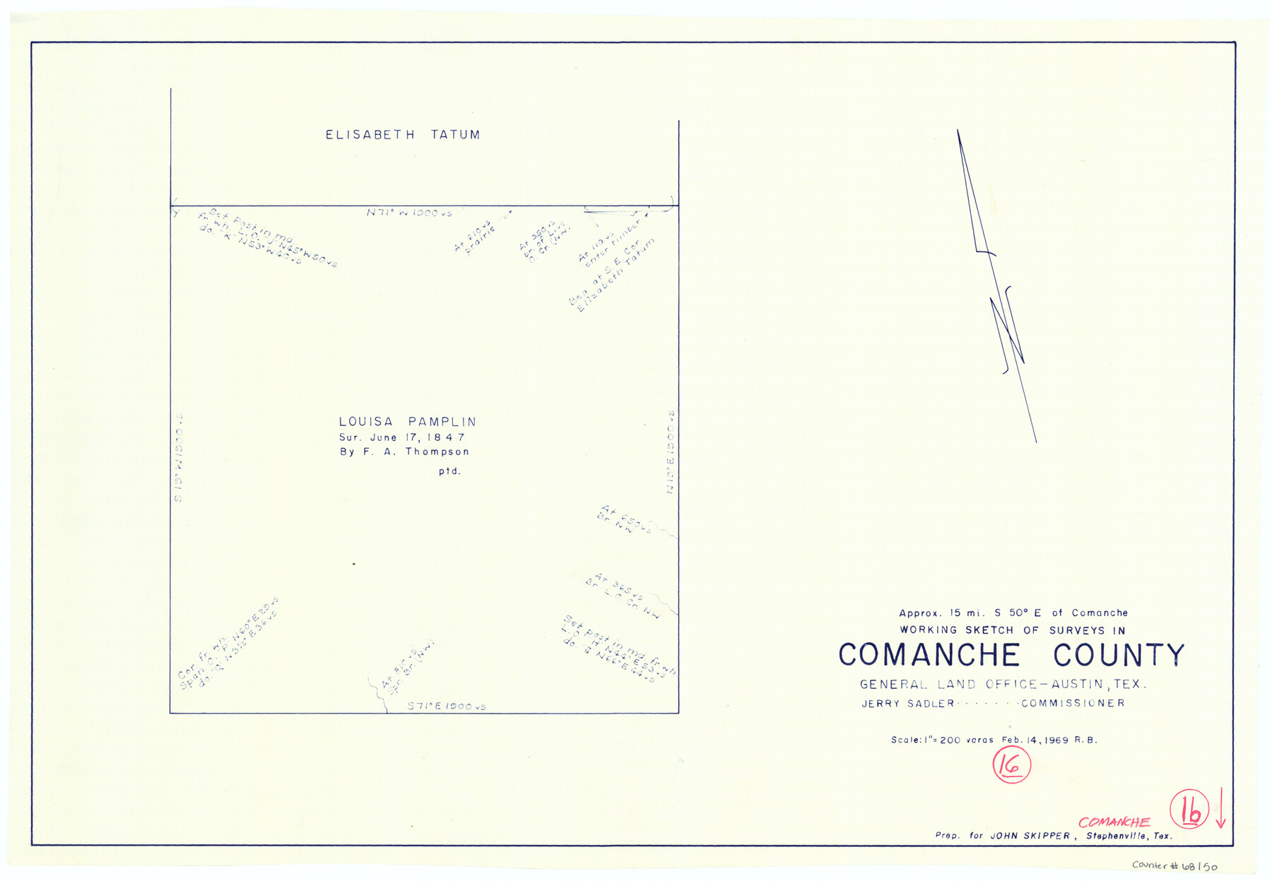
Comanche County Working Sketch 16
-
Map/Doc
68150
-
Collection
General Map Collection
-
Object Dates
2/14/1969 (Creation Date)
-
People and Organizations
Roy Buckholts (Draftsman)
-
Counties
Comanche
-
Subjects
Surveying Working Sketch
-
Height x Width
16.5 x 23.8 inches
41.9 x 60.5 cm
-
Scale
1" = 200 varas
Part of: General Map Collection
Hutchinson County Working Sketch 36

Print $20.00
- Digital $50.00
Hutchinson County Working Sketch 36
1978
Size 27.2 x 22.4 inches
Map/Doc 66396
Flight Mission No. DCL-7C, Frame 112, Kenedy County

Print $20.00
- Digital $50.00
Flight Mission No. DCL-7C, Frame 112, Kenedy County
1943
Size 18.5 x 22.2 inches
Map/Doc 86077
Rio Grande, North Extension McAllen Sheet

Print $20.00
- Digital $50.00
Rio Grande, North Extension McAllen Sheet
1937
Size 18.5 x 42.1 inches
Map/Doc 65108
Hudspeth County Rolled Sketch 61

Print $40.00
- Digital $50.00
Hudspeth County Rolled Sketch 61
1982
Size 71.3 x 45.1 inches
Map/Doc 9626
Brewster County Sketch File 55

Print $14.00
- Digital $50.00
Brewster County Sketch File 55
1999
Size 10.9 x 6.4 inches
Map/Doc 16385
Planiglobii Terrestris Mappa Universalis Utrumqs Hemisphaerium Orient et Occidentale

Print $20.00
- Digital $50.00
Planiglobii Terrestris Mappa Universalis Utrumqs Hemisphaerium Orient et Occidentale
1746
Size 21.4 x 24.4 inches
Map/Doc 96580
Edwards County Sketch File 13

Print $6.00
- Digital $50.00
Edwards County Sketch File 13
1888
Size 11.1 x 7.1 inches
Map/Doc 21700

Upton County Rolled Sketch 41

Print $20.00
- Digital $50.00
Upton County Rolled Sketch 41
Size 27.4 x 40.8 inches
Map/Doc 8080
Map of Padre Island Showing Location of Zoning Districts

Print $20.00
- Digital $50.00
Map of Padre Island Showing Location of Zoning Districts
1971
Size 26.2 x 18.5 inches
Map/Doc 4811
Hale County Working Sketch 5

Print $20.00
- Digital $50.00
Hale County Working Sketch 5
1980
Size 15.0 x 11.1 inches
Map/Doc 63325
Chambers County NRC Article 33.136 Location Key Sheet

Print $20.00
- Digital $50.00
Chambers County NRC Article 33.136 Location Key Sheet
1982
Size 27.0 x 22.3 inches
Map/Doc 82999
You may also like
Mason County Boundary File 3

Print $52.00
- Digital $50.00
Mason County Boundary File 3
Size 13.7 x 8.7 inches
Map/Doc 56838
[Sketch for Mineral Application 24072, San Jacinto River]
![65592, [Sketch for Mineral Application 24072, San Jacinto River], General Map Collection](https://historictexasmaps.com/wmedia_w700/maps/65592.tif.jpg)
Print $20.00
- Digital $50.00
[Sketch for Mineral Application 24072, San Jacinto River]
1929
Size 39.7 x 21.0 inches
Map/Doc 65592
McLaughlin Farm, Crosby County, Texas

Print $20.00
- Digital $50.00
McLaughlin Farm, Crosby County, Texas
1952
Size 14.3 x 14.1 inches
Map/Doc 92615
West and Trans-Pecos Texas with parts of New Mexico and Mexico and a New Map of Big Bend Ranch State Park and Surrounding Area

Print $32.48
West and Trans-Pecos Texas with parts of New Mexico and Mexico and a New Map of Big Bend Ranch State Park and Surrounding Area
1988
Size 28.0 x 31.0 inches
Map/Doc 89070
Menard County Working Sketch 3

Print $20.00
- Digital $50.00
Menard County Working Sketch 3
1913
Size 15.2 x 13.2 inches
Map/Doc 70950
Val Verde County Working Sketch 25

Print $20.00
- Digital $50.00
Val Verde County Working Sketch 25
1934
Size 24.2 x 18.2 inches
Map/Doc 72160
Shackelford County Working Sketch 10

Print $20.00
- Digital $50.00
Shackelford County Working Sketch 10
1984
Size 28.8 x 26.1 inches
Map/Doc 63850
Pecos County Working Sketch 135

Print $20.00
- Digital $50.00
Pecos County Working Sketch 135
1979
Size 46.4 x 37.3 inches
Map/Doc 71609
General Highway Map, Cherokee County, Texas

Print $20.00
General Highway Map, Cherokee County, Texas
1961
Size 18.2 x 24.6 inches
Map/Doc 79405
Map of The Surveyed Part of Peters Colony Texas

Print $40.00
- Digital $50.00
Map of The Surveyed Part of Peters Colony Texas
1858
Size 45.6 x 58.5 inches
Map/Doc 1982
Brazos River, Brazos River Sheet 3

Print $6.00
- Digital $50.00
Brazos River, Brazos River Sheet 3
1926
Size 23.6 x 35.2 inches
Map/Doc 65295
Mills County Boundary File 5a

Print $14.00
- Digital $50.00
Mills County Boundary File 5a
Size 14.3 x 8.6 inches
Map/Doc 57300