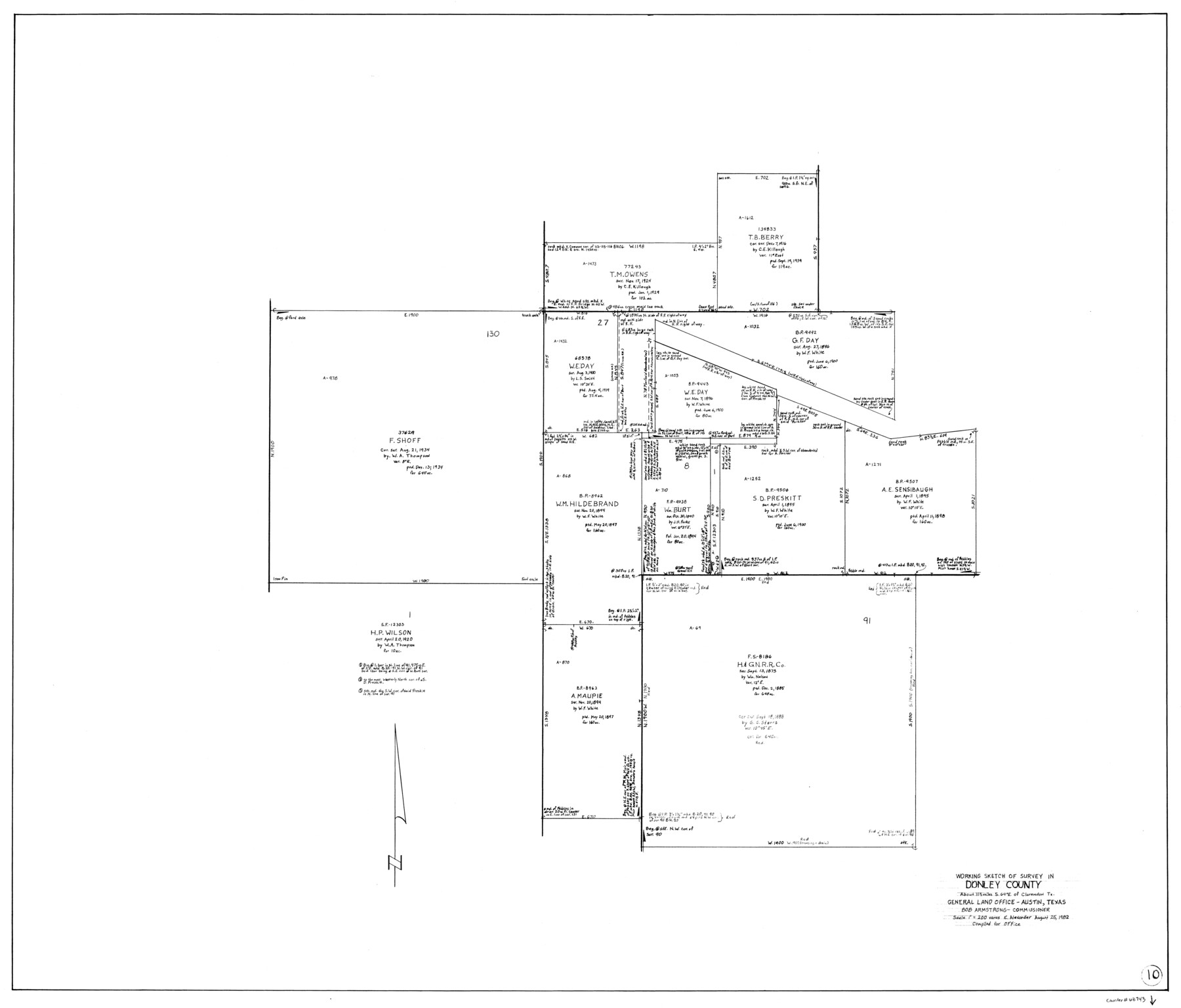
Donley County Working Sketch 10
-
Map/Doc
68743
-
Collection
General Map Collection
-
Object Dates
8/25/1982 (Creation Date)
-
People and Organizations
Earl Alexander (Draftsman)
-
Counties
Donley
-
Subjects
Surveying Working Sketch
-
Height x Width
35.1 x 41.1 inches
89.2 x 104.4 cm
-
Scale
1" = 200 varas
Part of: General Map Collection
Map of the World on a Globular Projection to illustrate Olney's school geography

Print $20.00
- Digital $50.00
Map of the World on a Globular Projection to illustrate Olney's school geography
1844
Size 12.1 x 19.0 inches
Map/Doc 93535
G No. 3 - Reconnaissance of the Bar and Channel of St. Marks On the Western Coast of Florida

Print $20.00
- Digital $50.00
G No. 3 - Reconnaissance of the Bar and Channel of St. Marks On the Western Coast of Florida
1852
Size 18.6 x 14.5 inches
Map/Doc 97221
South Part Crockett County

Print $40.00
- Digital $50.00
South Part Crockett County
1977
Size 39.1 x 51.2 inches
Map/Doc 95471
Hutchinson County Sketch File 46

Print $50.00
- Digital $50.00
Hutchinson County Sketch File 46
1981
Size 11.2 x 8.7 inches
Map/Doc 27365
Brewster County Sketch File S-17

Print $30.00
- Digital $50.00
Brewster County Sketch File S-17
1939
Size 11.3 x 8.8 inches
Map/Doc 15799
Webb County Sketch File 14c

Print $20.00
- Digital $50.00
Webb County Sketch File 14c
1892
Size 20.5 x 13.0 inches
Map/Doc 12633
Deaf Smith County Sketch File 1b

Print $24.00
- Digital $50.00
Deaf Smith County Sketch File 1b
1902
Size 11.3 x 8.9 inches
Map/Doc 20627
Harris County Rolled Sketch 90

Print $20.00
- Digital $50.00
Harris County Rolled Sketch 90
1981
Size 30.6 x 43.6 inches
Map/Doc 6129

United States Great Lakes and adjacent waterways

Print $20.00
- Digital $50.00
United States Great Lakes and adjacent waterways
Size 20.8 x 42.7 inches
Map/Doc 76122
Lampasas County Working Sketch 10

Print $20.00
- Digital $50.00
Lampasas County Working Sketch 10
1963
Size 32.2 x 42.9 inches
Map/Doc 70287
Travis County State Real Property Sketch 16

Print $20.00
- Digital $50.00
Travis County State Real Property Sketch 16
2009
Size 47.8 x 36.0 inches
Map/Doc 90087
You may also like
Greater Fort Worth City

Print $20.00
- Digital $50.00
Greater Fort Worth City
1919
Size 31.2 x 21.5 inches
Map/Doc 93423
Township No. 5 South Range No. 13 West of the Indian Meridian

Print $4.00
- Digital $50.00
Township No. 5 South Range No. 13 West of the Indian Meridian
1875
Size 17.9 x 23.5 inches
Map/Doc 75153
Baylor County Sketch File 12g

Print $50.00
- Digital $50.00
Baylor County Sketch File 12g
Size 11.4 x 8.9 inches
Map/Doc 14170

Portion of States Submerged Area in Matagorda Bay

Print $3.00
- Digital $50.00
Portion of States Submerged Area in Matagorda Bay
1922
Size 12.4 x 10.3 inches
Map/Doc 2954
Ft. W. & R. G. Ry. Right of Way Map, Chapin to Bluffdale, Hood County, Texas

Print $40.00
- Digital $50.00
Ft. W. & R. G. Ry. Right of Way Map, Chapin to Bluffdale, Hood County, Texas
1918
Size 36.5 x 50.5 inches
Map/Doc 64645
Goliad County Sketch File 37

Print $4.00
- Digital $50.00
Goliad County Sketch File 37
1850
Size 10.2 x 8.3 inches
Map/Doc 24336
Zapata County Rolled Sketch 10A

Print $20.00
- Digital $50.00
Zapata County Rolled Sketch 10A
1912
Size 26.3 x 26.5 inches
Map/Doc 8312
McMullen County Working Sketch 26

Print $20.00
- Digital $50.00
McMullen County Working Sketch 26
1953
Size 17.8 x 14.5 inches
Map/Doc 70727
Anderson County Sketch File 9

Print $8.00
- Digital $50.00
Anderson County Sketch File 9
Size 12.5 x 8.2 inches
Map/Doc 12761
Padre Island National Seashore, Texas - Dependent Resurvey

Print $4.00
- Digital $50.00
Padre Island National Seashore, Texas - Dependent Resurvey
2001
Size 18.2 x 24.3 inches
Map/Doc 60552
Hardeman County Working Sketch 14

Print $20.00
- Digital $50.00
Hardeman County Working Sketch 14
Size 30.8 x 42.2 inches
Map/Doc 63395