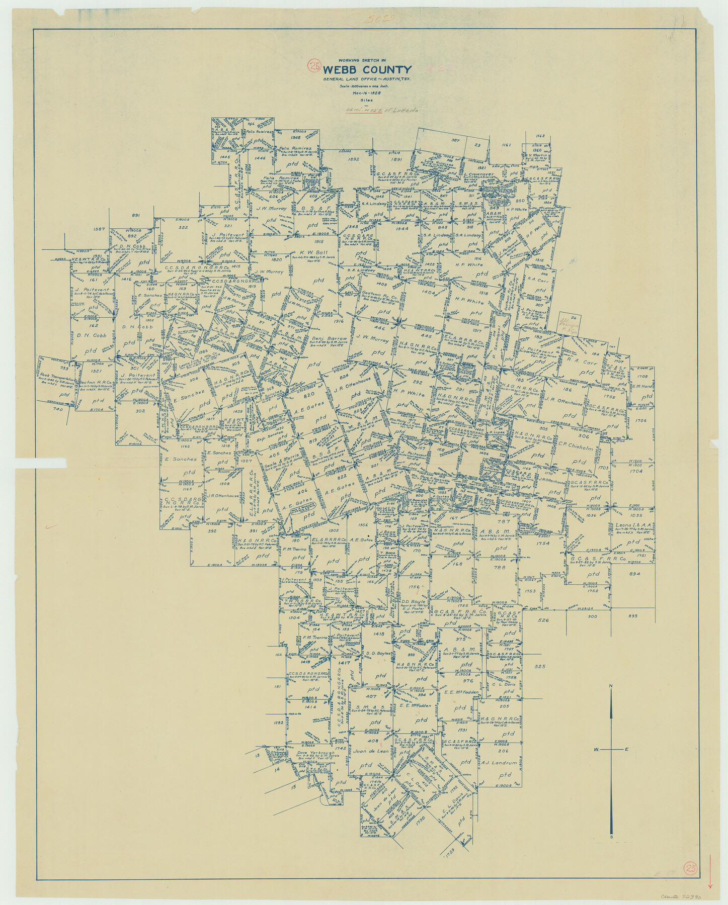
Webb County Working Sketch 25
-
Map/Doc
72390
-
Collection
General Map Collection
-
Object Dates
11/16/1928 (Creation Date)
-
People and Organizations
J. Bascom Giles (Draftsman)
-
Counties
Webb
-
Subjects
Surveying Working Sketch
-
Height x Width
38.8 x 31.2 inches
98.6 x 79.3 cm
-
Scale
1" = 1000 varas
Part of: General Map Collection
Hall County Working Sketch 4

Print $20.00
- Digital $50.00
Hall County Working Sketch 4
1923
Size 29.0 x 19.7 inches
Map/Doc 63332
Sabine River, East Extension Merrill Lake Sheet

Print $4.00
- Digital $50.00
Sabine River, East Extension Merrill Lake Sheet
1933
Size 24.5 x 15.1 inches
Map/Doc 65141
Gaines County Rolled Sketch 12

Print $20.00
- Digital $50.00
Gaines County Rolled Sketch 12
1940
Size 26.6 x 33.8 inches
Map/Doc 5932
Texas, Matagorda Bay, Vicinity of Carancahua Bay

Print $40.00
- Digital $50.00
Texas, Matagorda Bay, Vicinity of Carancahua Bay
1933
Size 30.3 x 48.2 inches
Map/Doc 69989
Red River County Working Sketch 76

Print $20.00
- Digital $50.00
Red River County Working Sketch 76
1980
Size 17.7 x 33.9 inches
Map/Doc 72059
Upton County Rolled Sketch 52

Print $20.00
- Digital $50.00
Upton County Rolled Sketch 52
Size 24.5 x 29.2 inches
Map/Doc 8087
Brewster County Rolled Sketch 87

Print $40.00
- Digital $50.00
Brewster County Rolled Sketch 87
1947
Size 130.7 x 40.4 inches
Map/Doc 8497
Baylor County Sketch File 21

Print $40.00
- Digital $50.00
Baylor County Sketch File 21
Size 17.5 x 30.7 inches
Map/Doc 10908
Kinney County Working Sketch 19

Print $20.00
- Digital $50.00
Kinney County Working Sketch 19
1948
Size 32.0 x 35.7 inches
Map/Doc 70201
Intracoastal Waterway, Houma, LA to Corpus Christi, TX

Print $5.00
- Digital $50.00
Intracoastal Waterway, Houma, LA to Corpus Christi, TX
Size 22.2 x 29.6 inches
Map/Doc 61913
Schleicher County Working Sketch 8

Print $20.00
- Digital $50.00
Schleicher County Working Sketch 8
1923
Size 21.6 x 18.6 inches
Map/Doc 63810
Chart of the Rio Bravo del Norte traced from a survey made by Henry Austin by Lieut. Bowman, 3d. Infy.

Print $20.00
- Digital $50.00
Chart of the Rio Bravo del Norte traced from a survey made by Henry Austin by Lieut. Bowman, 3d. Infy.
1866
Size 18.1 x 27.2 inches
Map/Doc 72890
You may also like
[Beaumont, Sour Lake and Western Ry. Right of Way and Alignment - Frisco]
![64116, [Beaumont, Sour Lake and Western Ry. Right of Way and Alignment - Frisco], General Map Collection](https://historictexasmaps.com/wmedia_w700/maps/64116.tif.jpg)
Print $20.00
- Digital $50.00
[Beaumont, Sour Lake and Western Ry. Right of Way and Alignment - Frisco]
1910
Size 20.3 x 46.1 inches
Map/Doc 64116
Hutchinson County Rolled Sketch 8

Print $20.00
- Digital $50.00
Hutchinson County Rolled Sketch 8
Size 32.0 x 29.1 inches
Map/Doc 6279
Real County Rolled Sketch 4

Print $20.00
- Digital $50.00
Real County Rolled Sketch 4
1961
Size 18.7 x 20.4 inches
Map/Doc 7454
Hutchinson County Rolled Sketch 27

Print $53.00
- Digital $50.00
Hutchinson County Rolled Sketch 27
1920
Size 33.3 x 27.1 inches
Map/Doc 6289
Upton County Rolled Sketch 22

Print $20.00
- Digital $50.00
Upton County Rolled Sketch 22
Size 21.6 x 27.0 inches
Map/Doc 8073
Carson County Boundary File 10

Print $2.00
- Digital $50.00
Carson County Boundary File 10
Size 11.5 x 7.2 inches
Map/Doc 51185
McMullen County Sketch File 27a

Print $4.00
- Digital $50.00
McMullen County Sketch File 27a
Size 9.5 x 6.3 inches
Map/Doc 31390
[Sections 158-162 and surveys to the east]
![93003, [Sections 158-162 and surveys to the east], Twichell Survey Records](https://historictexasmaps.com/wmedia_w700/maps/93003-1.tif.jpg)
Print $20.00
- Digital $50.00
[Sections 158-162 and surveys to the east]
1916
Size 7.8 x 18.9 inches
Map/Doc 93003
Refugio County Sketch File 24

Print $12.00
- Digital $50.00
Refugio County Sketch File 24
1954
Size 14.4 x 8.9 inches
Map/Doc 35283
Sketch in Castro County

Print $2.00
- Digital $50.00
Sketch in Castro County
1888
Size 7.8 x 7.9 inches
Map/Doc 90388
Jeff Davis County Working Sketch 49

Print $20.00
- Digital $50.00
Jeff Davis County Working Sketch 49
2008
Size 38.0 x 35.7 inches
Map/Doc 88816
Baylor County Sketch File 12B

Print $6.00
- Digital $50.00
Baylor County Sketch File 12B
1900
Size 13.4 x 9.0 inches
Map/Doc 14152