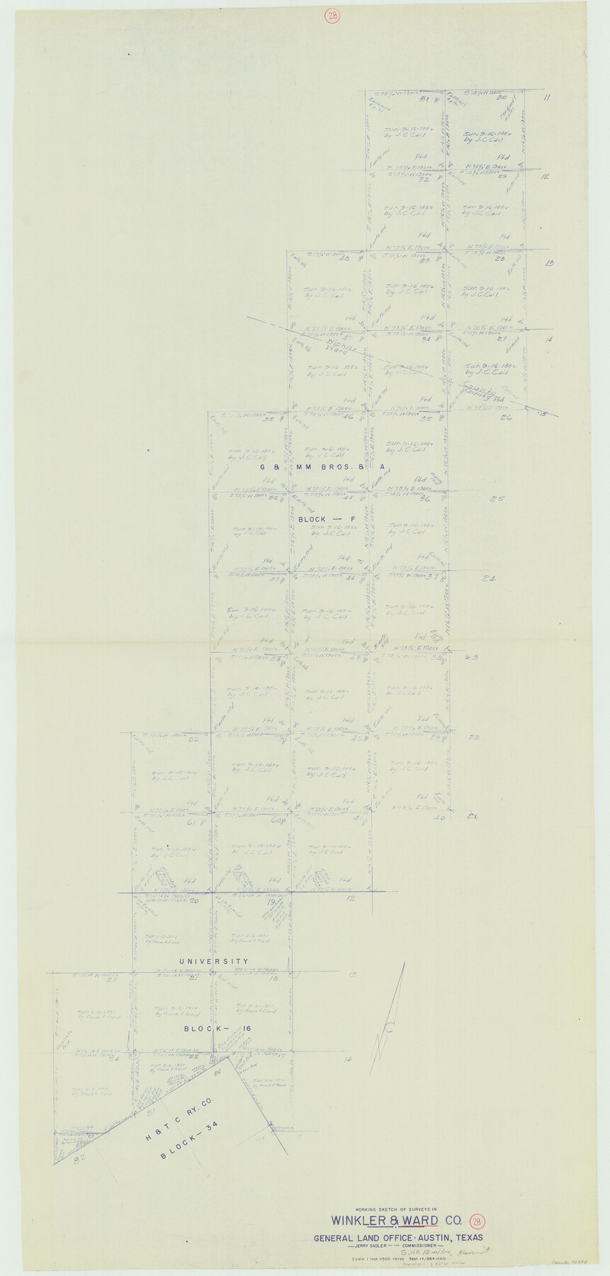
Ward County Working Sketch 28
-
Map/Doc
72334
-
Collection
General Map Collection
-
Object Dates
9/14/1964 (Creation Date)
-
People and Organizations
Herbert H. Ulbricht (Draftsman)
-
Counties
Ward Winkler
-
Subjects
Surveying Working Sketch
-
Height x Width
60.9 x 29.1 inches
154.7 x 73.9 cm
-
Scale
1" = 500 varas
Part of: General Map Collection
Irion County Boundary File 3

Print $38.00
- Digital $50.00
Irion County Boundary File 3
Size 8.8 x 4.2 inches
Map/Doc 55339
Bexar County Sketch File 46

Print $40.00
- Digital $50.00
Bexar County Sketch File 46
1888
Size 24.7 x 22.6 inches
Map/Doc 10924
Presidio County Working Sketch 9a

Print $20.00
- Digital $50.00
Presidio County Working Sketch 9a
1933
Size 22.3 x 16.7 inches
Map/Doc 78284
Motley County Sketch File 17 (S)

Print $6.00
- Digital $50.00
Motley County Sketch File 17 (S)
1901
Size 14.2 x 8.7 inches
Map/Doc 32189

Comal County Working Sketch Graphic Index

Print $20.00
- Digital $50.00
Comal County Working Sketch Graphic Index
1947
Size 41.8 x 35.9 inches
Map/Doc 76501
Culberson County Sketch File 20

Print $57.00
- Digital $50.00
Culberson County Sketch File 20
Size 10.2 x 15.6 inches
Map/Doc 20205
Donley County Sketch File 12

Print $2.00
- Digital $50.00
Donley County Sketch File 12
Size 12.9 x 8.2 inches
Map/Doc 21248
Carta Orografica

Print $20.00
- Digital $50.00
Carta Orografica
Size 26.0 x 34.4 inches
Map/Doc 96802
Preliminary Chart No. 31 of the Sea Coast of the United States from Galveston Bay to Matagorda Bay, Texas

Print $20.00
- Digital $50.00
Preliminary Chart No. 31 of the Sea Coast of the United States from Galveston Bay to Matagorda Bay, Texas
1857
Size 22.7 x 38.7 inches
Map/Doc 69949
Webb County Sketch File 72

Print $24.00
- Digital $50.00
Webb County Sketch File 72
2011
Size 11.0 x 8.5 inches
Map/Doc 90054
Blanco County Sketch File 33

Print $4.00
- Digital $50.00
Blanco County Sketch File 33
Size 7.9 x 7.0 inches
Map/Doc 14635
You may also like
Flight Mission No. BQY-4M, Frame 32, Harris County

Print $20.00
- Digital $50.00
Flight Mission No. BQY-4M, Frame 32, Harris County
1953
Size 18.6 x 22.6 inches
Map/Doc 85247
Outline Map showing a New Route from Texas to Fort Yuma, California for Cattle Droves and Trains En route to California

Print $40.00
- Digital $50.00
Outline Map showing a New Route from Texas to Fort Yuma, California for Cattle Droves and Trains En route to California
1880
Size 17.5 x 52.2 inches
Map/Doc 97141
[Surveys near Keechi Creek and the Trinity River]
![47, [Surveys near Keechi Creek and the Trinity River], General Map Collection](https://historictexasmaps.com/wmedia_w700/maps/47.tif.jpg)
Print $2.00
- Digital $50.00
[Surveys near Keechi Creek and the Trinity River]
1841
Size 8.6 x 8.2 inches
Map/Doc 47
Navarro County Working Sketch 1b

Print $20.00
- Digital $50.00
Navarro County Working Sketch 1b
Size 32.5 x 44.6 inches
Map/Doc 71230
Calhoun County Sketch File 12

Print $120.00
- Digital $50.00
Calhoun County Sketch File 12
Size 23.0 x 36.9 inches
Map/Doc 11033
Tom Green County Sketch File 77

Print $6.00
- Digital $50.00
Tom Green County Sketch File 77
Size 10.0 x 8.5 inches
Map/Doc 38253
From Citizens Living in Red River County for the Creation of a New County (Unnamed), Undated

Print $20.00
From Citizens Living in Red River County for the Creation of a New County (Unnamed), Undated
2020
Size 16.6 x 21.7 inches
Map/Doc 96405
[Blocks XO3 and I]
![91167, [Blocks XO3 and I], Twichell Survey Records](https://historictexasmaps.com/wmedia_w700/maps/91167-1.tif.jpg)
Print $2.00
- Digital $50.00
[Blocks XO3 and I]
Size 6.5 x 11.8 inches
Map/Doc 91167
Aransas County NRC Article 33.136 Sketch 19

Print $66.00
- Digital $50.00
Aransas County NRC Article 33.136 Sketch 19
2022
Map/Doc 96898
Smith County Working Sketch 19

Print $20.00
- Digital $50.00
Smith County Working Sketch 19
1997
Size 31.4 x 36.5 inches
Map/Doc 63904
McMullen County Sketch File 25a

Print $22.00
- Digital $50.00
McMullen County Sketch File 25a
1877
Size 8.8 x 12.9 inches
Map/Doc 31386
State of Texas, Wheeler County, Surveys 37-44-46, Block 17

Print $20.00
- Digital $50.00
State of Texas, Wheeler County, Surveys 37-44-46, Block 17
Size 19.4 x 13.0 inches
Map/Doc 92115