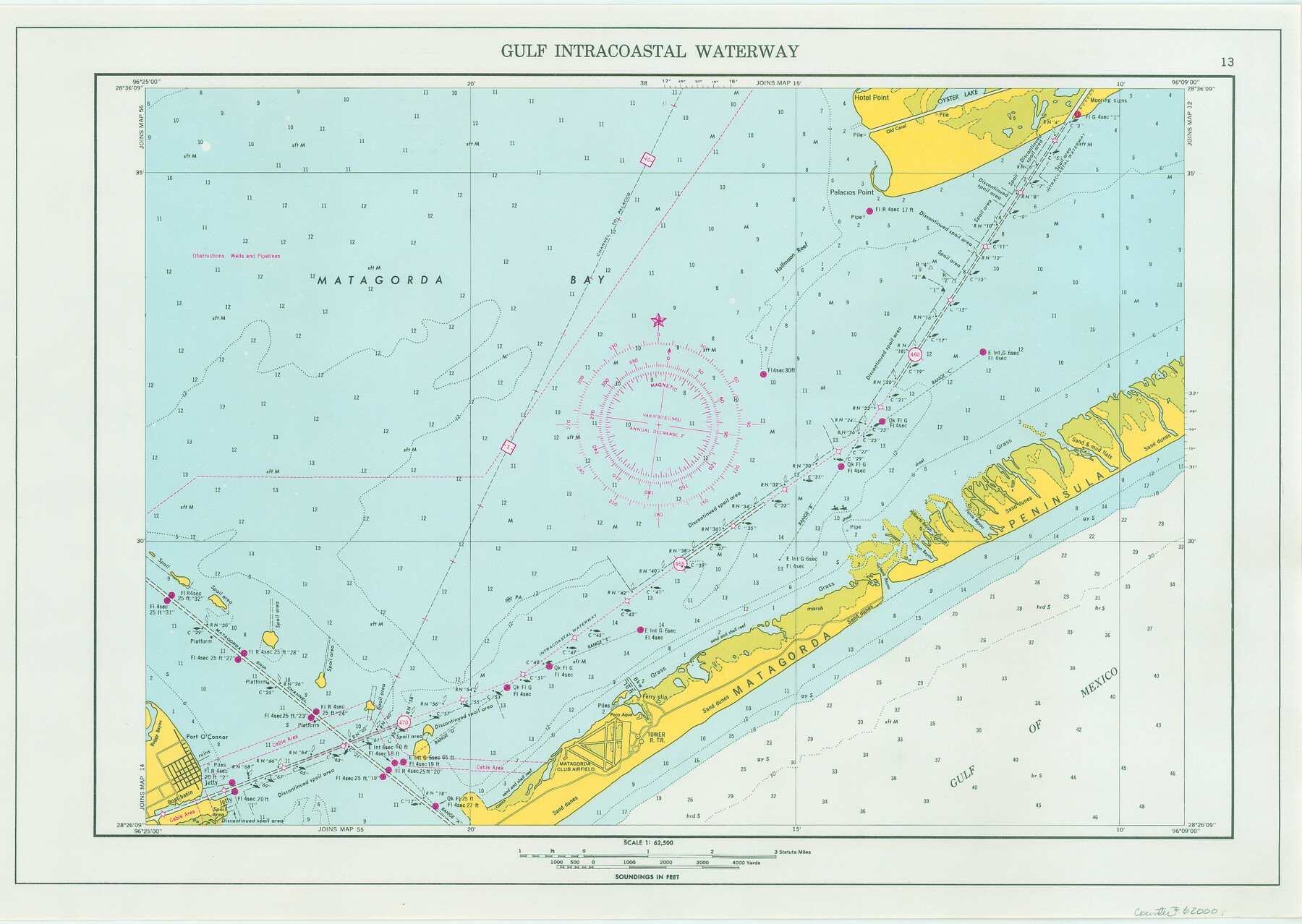
Maps of Gulf Intracoastal Waterway, Texas - Sabine River to the Rio Grande and connecting waterways including ship channels
-
Map/Doc
62000
-
Collection
General Map Collection
-
Object Dates
1966 (Creation Date)
-
Subjects
Intracoastal Waterways
-
Height x Width
14.6 x 20.5 inches
37.1 x 52.1 cm
-
Comments
Incomplete copy of 61915-61980. Missing page 31 and two copies of 53.
Part of: General Map Collection
Reeves County Rolled Sketch N

Print $40.00
- Digital $50.00
Reeves County Rolled Sketch N
Size 44.5 x 74.7 inches
Map/Doc 9846
Day Ranch Lands, Leaday, Texas

Print $20.00
- Digital $50.00
Day Ranch Lands, Leaday, Texas
1948
Size 30.8 x 23.0 inches
Map/Doc 81516
Railroad Track Map, H&TCRRCo., Falls County, Texas

Print $4.00
- Digital $50.00
Railroad Track Map, H&TCRRCo., Falls County, Texas
1918
Size 11.7 x 18.5 inches
Map/Doc 62843
Crockett County Rolled Sketch 48

Print $20.00
- Digital $50.00
Crockett County Rolled Sketch 48
1939
Size 30.0 x 40.3 inches
Map/Doc 8712
Goliad County Sketch File 27

Print $20.00
- Digital $50.00
Goliad County Sketch File 27
Size 19.0 x 24.4 inches
Map/Doc 11568
Bexar County State Real Property Sketch 6

Print $20.00
Bexar County State Real Property Sketch 6
2006
Size 22.2 x 33.1 inches
Map/Doc 96980
Flight Mission No. DAG-24K, Frame 161, Matagorda County

Print $20.00
- Digital $50.00
Flight Mission No. DAG-24K, Frame 161, Matagorda County
1953
Size 18.6 x 22.5 inches
Map/Doc 86575
Sutton County Working Sketch 27

Print $20.00
- Digital $50.00
Sutton County Working Sketch 27
1891
Size 23.2 x 18.6 inches
Map/Doc 62370
United States - Gulf Coast - Padre I. and Laguna Madre Lat. 27° 12' to Lat. 26° 33' Texas

Print $20.00
- Digital $50.00
United States - Gulf Coast - Padre I. and Laguna Madre Lat. 27° 12' to Lat. 26° 33' Texas
1913
Size 27.0 x 18.2 inches
Map/Doc 72814
Baylor County Working Sketch 5

Print $20.00
- Digital $50.00
Baylor County Working Sketch 5
1940
Size 11.9 x 30.4 inches
Map/Doc 67290
Edwards County Working Sketch 91

Print $40.00
- Digital $50.00
Edwards County Working Sketch 91
1966
Size 34.8 x 51.1 inches
Map/Doc 68967
Maps of Gulf Intracoastal Waterway, Texas - Sabine River to the Rio Grande and connecting waterways including ship channels

Print $20.00
- Digital $50.00
Maps of Gulf Intracoastal Waterway, Texas - Sabine River to the Rio Grande and connecting waterways including ship channels
1966
Size 14.5 x 22.3 inches
Map/Doc 61978
You may also like
Leon County Working Sketch 24

Print $20.00
- Digital $50.00
Leon County Working Sketch 24
1967
Size 23.3 x 29.0 inches
Map/Doc 70423
Zapata County Working Sketch 20

Print $20.00
- Digital $50.00
Zapata County Working Sketch 20
1979
Size 20.9 x 18.5 inches
Map/Doc 62071
Jefferson County Rolled Sketch 63

Print $20.00
- Digital $50.00
Jefferson County Rolled Sketch 63
1884
Size 26.5 x 36.4 inches
Map/Doc 6417
The Republic County of Bowie. Created, December 17, 1840

Print $20.00
The Republic County of Bowie. Created, December 17, 1840
2020
Size 19.5 x 21.7 inches
Map/Doc 96102
[Surveys in Austin's Colony along the Brazos River]
![213, [Surveys in Austin's Colony along the Brazos River], General Map Collection](https://historictexasmaps.com/wmedia_w700/maps/213.tif.jpg)
Print $20.00
- Digital $50.00
[Surveys in Austin's Colony along the Brazos River]
1824
Size 12.9 x 14.5 inches
Map/Doc 213
Knox County Sketch File 23

Print $20.00
- Digital $50.00
Knox County Sketch File 23
1931
Size 21.4 x 15.3 inches
Map/Doc 11963
Oldham County Working Sketch 4

Print $20.00
- Digital $50.00
Oldham County Working Sketch 4
1948
Size 28.8 x 26.2 inches
Map/Doc 71326

Polk County Boundary File 1

Print $24.00
- Digital $50.00
Polk County Boundary File 1
Size 12.6 x 8.0 inches
Map/Doc 57912
Northeast Part Presidio County

Print $20.00
- Digital $50.00
Northeast Part Presidio County
1973
Size 41.3 x 32.4 inches
Map/Doc 73265
Uvalde County Sketch File A

Print $40.00
- Digital $50.00
Uvalde County Sketch File A
1912
Size 23.0 x 18.0 inches
Map/Doc 12537
Terrell County Working Sketch 72

Print $20.00
- Digital $50.00
Terrell County Working Sketch 72
1980
Size 14.3 x 24.8 inches
Map/Doc 69593