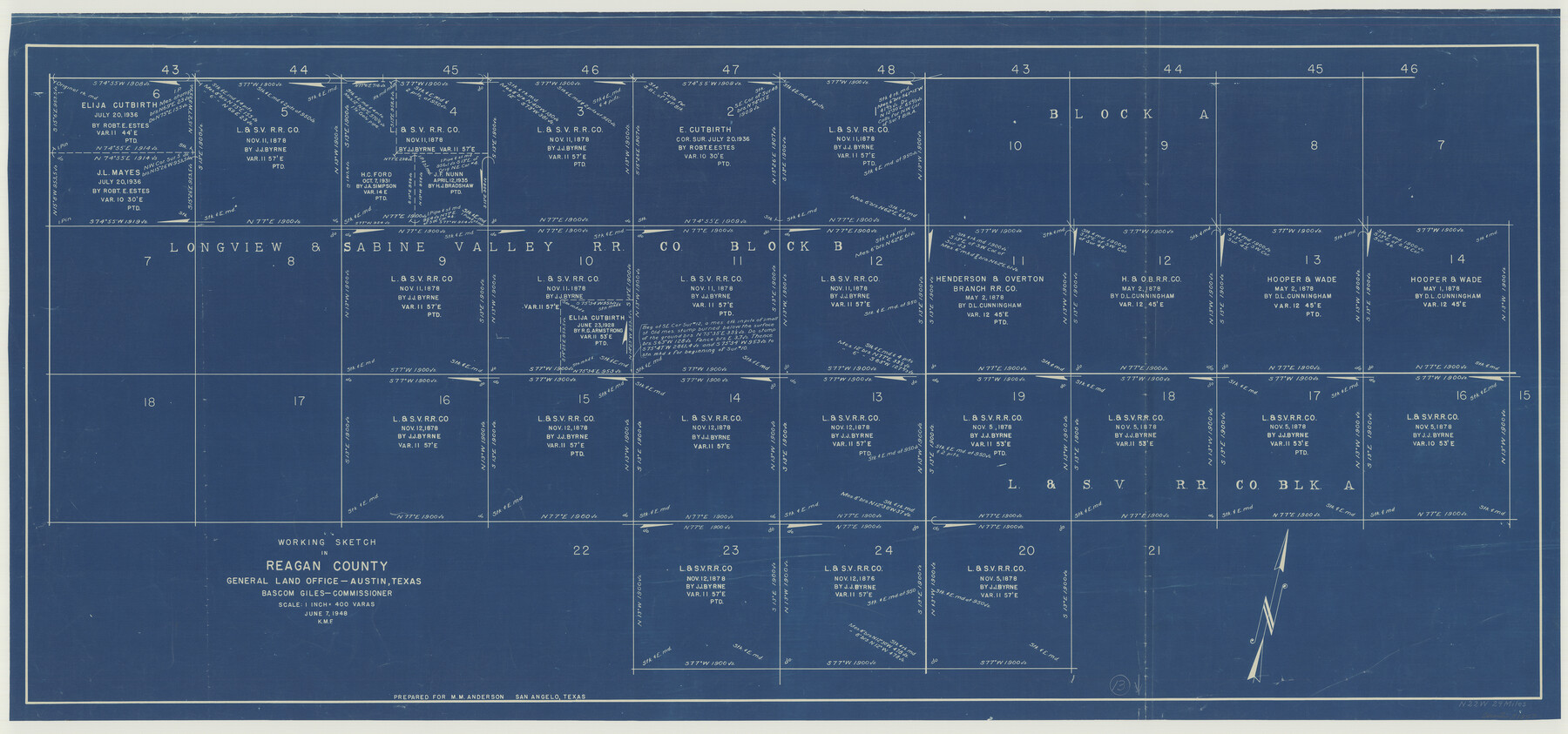
Reagan County Working Sketch 13
-
Map/Doc
71853
-
Collection
General Map Collection
-
Object Dates
6/7/1948 (Creation Date)
-
Counties
Reagan
-
Subjects
Surveying Working Sketch
-
Height x Width
23.8 x 50.8 inches
60.5 x 129.0 cm
-
Scale
1" = 400 varas
Part of: General Map Collection
Mitchell County

Print $20.00
- Digital $50.00
Mitchell County
1971
Size 43.6 x 37.0 inches
Map/Doc 95592
Gregg County Sketch File 14

Print $6.00
- Digital $50.00
Gregg County Sketch File 14
1946
Size 14.3 x 8.8 inches
Map/Doc 24613
Shelby County Sketch File 33

Print $8.00
- Digital $50.00
Shelby County Sketch File 33
1949
Size 11.5 x 9.0 inches
Map/Doc 36670
Map of the Central and Montgomery Railroad

Print $20.00
- Digital $50.00
Map of the Central and Montgomery Railroad
1881
Size 12.6 x 36.8 inches
Map/Doc 64141
Andrews County Rolled Sketch 26

Print $40.00
- Digital $50.00
Andrews County Rolled Sketch 26
1948
Size 78.3 x 13.2 inches
Map/Doc 8398
[Plat No. 1, Connecting line from SW corner of Jones Co. to SE corner of Borden Co.]
![1698, [Plat No. 1, Connecting line from SW corner of Jones Co. to SE corner of Borden Co.], General Map Collection](https://historictexasmaps.com/wmedia_w700/maps/1698.tif.jpg)
Print $40.00
- Digital $50.00
[Plat No. 1, Connecting line from SW corner of Jones Co. to SE corner of Borden Co.]
1908
Size 18.1 x 128.8 inches
Map/Doc 1698
[Map of Connecting Lines along or near the Red River]
![75546, [Map of Connecting Lines along or near the Red River], General Map Collection](https://historictexasmaps.com/wmedia_w700/maps/75546.tif.jpg)
Print $20.00
- Digital $50.00
[Map of Connecting Lines along or near the Red River]
Size 28.6 x 37.0 inches
Map/Doc 75546
Harris County Working Sketch 127

Print $20.00
- Digital $50.00
Harris County Working Sketch 127
1996
Size 20.7 x 26.0 inches
Map/Doc 66019
Hunt County Sketch File 20

Print $4.00
- Digital $50.00
Hunt County Sketch File 20
1853
Size 8.3 x 7.9 inches
Map/Doc 27120
[Map of the River Sabine from its mouth on the Gulf of Mexico in the sea to Logan's Ferry in Latitude 31° 58' 24" North]
![94006, [Map of the River Sabine from its mouth on the Gulf of Mexico in the sea to Logan's Ferry in Latitude 31° 58' 24" North], General Map Collection](https://historictexasmaps.com/wmedia_w700/maps/94006.tif.jpg)
Print $20.00
- Digital $50.00
[Map of the River Sabine from its mouth on the Gulf of Mexico in the sea to Logan's Ferry in Latitude 31° 58' 24" North]
Size 37.7 x 31.6 inches
Map/Doc 94006
Cherokee County Sketch File 4

Print $7.00
- Digital $50.00
Cherokee County Sketch File 4
1850
Size 10.3 x 8.2 inches
Map/Doc 18117
Street guide and metropolitan map of New Orleans [Verso]
![94199, Street guide and metropolitan map of New Orleans [Verso], General Map Collection](https://historictexasmaps.com/wmedia_w700/maps/94199.tif.jpg)
Street guide and metropolitan map of New Orleans [Verso]
1963
Size 18.3 x 27.1 inches
Map/Doc 94199
You may also like

Reeves County Working Sketch 49

Print $20.00
- Digital $50.00
Reeves County Working Sketch 49
1974
Size 46.4 x 32.4 inches
Map/Doc 63492
Map of Montague County

Print $20.00
- Digital $50.00
Map of Montague County
1858
Size 28.6 x 20.5 inches
Map/Doc 3886
Runnels County Rolled Sketch 48

Print $20.00
- Digital $50.00
Runnels County Rolled Sketch 48
Size 32.4 x 36.7 inches
Map/Doc 7533
Nautical Chart 885-SC Intracoastal Waterway - Ellender to Galveston Bay, Louisiana-Texas

Print $40.00
- Digital $50.00
Nautical Chart 885-SC Intracoastal Waterway - Ellender to Galveston Bay, Louisiana-Texas
1972
Size 16.4 x 60.1 inches
Map/Doc 69835
Working Sketch in Hockley, Lamb, and Lubbock Counties

Print $20.00
- Digital $50.00
Working Sketch in Hockley, Lamb, and Lubbock Counties
1911
Size 16.7 x 26.6 inches
Map/Doc 92213
Denton County Working Sketch Graphic Index

Print $20.00
- Digital $50.00
Denton County Working Sketch Graphic Index
1947
Size 41.5 x 38.5 inches
Map/Doc 76521
Sketch showing county lines of Lynn, Garza, Borden, Scurry

Print $40.00
- Digital $50.00
Sketch showing county lines of Lynn, Garza, Borden, Scurry
1961
Size 23.9 x 79.9 inches
Map/Doc 1719
St. Louis Southwestern Railway of Texas

Print $20.00
- Digital $50.00
St. Louis Southwestern Railway of Texas
1906
Size 22.5 x 30.5 inches
Map/Doc 64449
Navasota River, Grayson Crossing Sheet

Print $20.00
- Digital $50.00
Navasota River, Grayson Crossing Sheet
1937
Size 42.8 x 21.1 inches
Map/Doc 65071
Cameron County Rolled Sketch 24

Print $40.00
- Digital $50.00
Cameron County Rolled Sketch 24
1968
Size 30.4 x 66.7 inches
Map/Doc 8574
Dawson County Working Sketch 2

Print $20.00
- Digital $50.00
Dawson County Working Sketch 2
1937
Size 8.8 x 20.3 inches
Map/Doc 68546