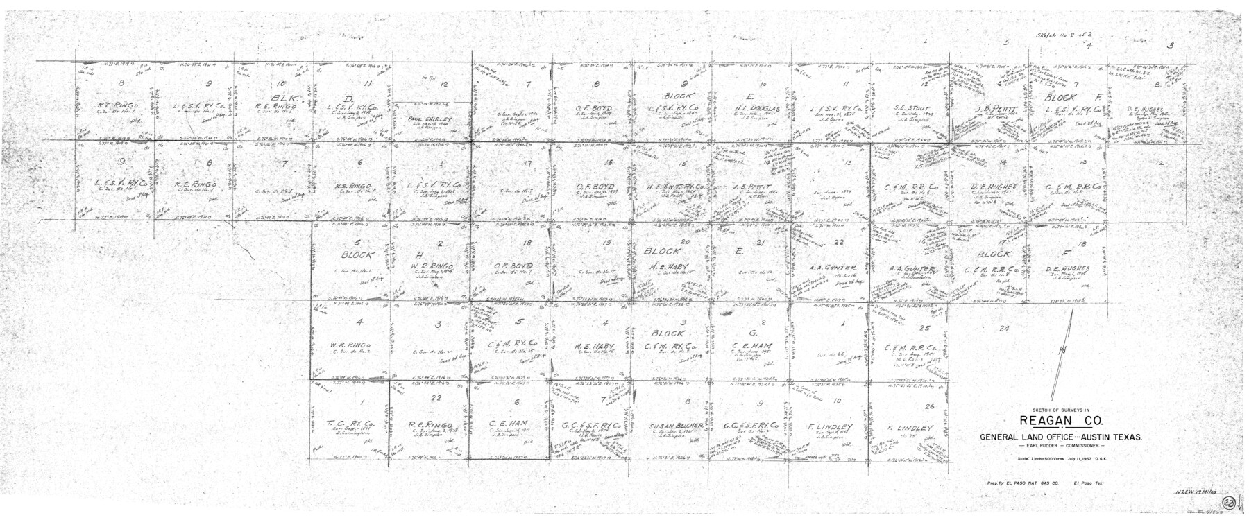
Reagan County Working Sketch 23
-
Map/Doc
71865
-
Collection
General Map Collection
-
Object Dates
7/11/1957 (Creation Date)
-
People and Organizations
Otto G. Kurio (Draftsman)
-
Counties
Reagan
-
Subjects
Surveying Working Sketch
-
Height x Width
25.0 x 60.1 inches
63.5 x 152.7 cm
-
Scale
1" = 500 varas
Part of: General Map Collection
Harris County Sketch File 69a

Print $20.00
- Digital $50.00
Harris County Sketch File 69a
1938
Size 19.4 x 21.3 inches
Map/Doc 11663
Dimmit County Sketch File 19 1/2

Print $40.00
- Digital $50.00
Dimmit County Sketch File 19 1/2
Size 16.6 x 13.9 inches
Map/Doc 21092
Comanche County

Print $20.00
- Digital $50.00
Comanche County
1896
Size 40.5 x 45.1 inches
Map/Doc 66783
Right of Way and Track Map, International & Gt. Northern Ry. Operated by the International & Gt. Northern Ry. Co., Gulf Division

Print $40.00
- Digital $50.00
Right of Way and Track Map, International & Gt. Northern Ry. Operated by the International & Gt. Northern Ry. Co., Gulf Division
1917
Size 25.1 x 56.6 inches
Map/Doc 64252
Coryell County Working Sketch 11

Print $20.00
- Digital $50.00
Coryell County Working Sketch 11
1949
Size 29.7 x 27.5 inches
Map/Doc 68218
Cooke County Working Sketch 28

Print $20.00
- Digital $50.00
Cooke County Working Sketch 28
1976
Size 28.4 x 34.1 inches
Map/Doc 68265
Rusk County Working Sketch 23

Print $20.00
- Digital $50.00
Rusk County Working Sketch 23
1949
Size 23.9 x 26.5 inches
Map/Doc 63659
Flight Mission No. DQN-2K, Frame 117, Calhoun County

Print $20.00
- Digital $50.00
Flight Mission No. DQN-2K, Frame 117, Calhoun County
1953
Size 18.3 x 22.1 inches
Map/Doc 84293
Dickens County Working Sketch 15

Print $20.00
- Digital $50.00
Dickens County Working Sketch 15
2011
Size 28.8 x 28.6 inches
Map/Doc 90067
Robertson Co.

Print $20.00
- Digital $50.00
Robertson Co.
1945
Size 47.9 x 39.0 inches
Map/Doc 63004
Copy of Surveyor's Field Book, Morris Browning - In Blocks 7, 5 & 4, I&GNRRCo., Hutchinson and Carson Counties, Texas

Print $2.00
- Digital $50.00
Copy of Surveyor's Field Book, Morris Browning - In Blocks 7, 5 & 4, I&GNRRCo., Hutchinson and Carson Counties, Texas
1888
Size 6.9 x 8.9 inches
Map/Doc 62273
San Patricio County Rolled Sketch 46

Print $20.00
- Digital $50.00
San Patricio County Rolled Sketch 46
1983
Size 19.6 x 25.5 inches
Map/Doc 7730
You may also like
Bee County Working Sketch 6

Print $20.00
- Digital $50.00
Bee County Working Sketch 6
1934
Size 33.8 x 24.1 inches
Map/Doc 67256
Presidio County Working Sketch 70

Print $20.00
- Digital $50.00
Presidio County Working Sketch 70
1961
Size 46.8 x 37.4 inches
Map/Doc 71747
Map of Fisher and Miller's Colony made from the records in the Office of the District Surveyor of Bexar comprising also all the recent surveys

Print $20.00
- Digital $50.00
Map of Fisher and Miller's Colony made from the records in the Office of the District Surveyor of Bexar comprising also all the recent surveys
1855
Size 27.2 x 39.6 inches
Map/Doc 82026
Wilson County Sketch File 4

Print $28.00
- Digital $50.00
Wilson County Sketch File 4
1851
Size 8.4 x 7.7 inches
Map/Doc 40404
Hays County Working Sketch 12

Print $20.00
- Digital $50.00
Hays County Working Sketch 12
1950
Size 22.8 x 24.3 inches
Map/Doc 66086
Flight Mission No. CGI-4N, Frame 190, Cameron County

Print $20.00
- Digital $50.00
Flight Mission No. CGI-4N, Frame 190, Cameron County
1955
Size 18.5 x 22.2 inches
Map/Doc 84693
Jackson County

Print $40.00
- Digital $50.00
Jackson County
1920
Size 48.5 x 40.8 inches
Map/Doc 4989
Flight Mission No. BRE-4P, Frame 169, Nueces County

Print $20.00
- Digital $50.00
Flight Mission No. BRE-4P, Frame 169, Nueces County
1956
Size 18.5 x 22.6 inches
Map/Doc 86832
Austin County Working Sketch 9

Print $20.00
- Digital $50.00
Austin County Working Sketch 9
1996
Size 34.4 x 32.0 inches
Map/Doc 67250
[John Walker, south part B9 and vicinity]
![90330, [John Walker, south part B9 and vicinity], Twichell Survey Records](https://historictexasmaps.com/wmedia_w700/maps/90330-1.tif.jpg)
Print $20.00
- Digital $50.00
[John Walker, south part B9 and vicinity]
Size 32.7 x 24.1 inches
Map/Doc 90330
Hamilton County Sketch File 14

Print $10.00
- Digital $50.00
Hamilton County Sketch File 14
Size 10.1 x 8.0 inches
Map/Doc 24937
[Surveys along the Red River made for titles under Radford Berry, Commissioner]
![32, [Surveys along the Red River made for titles under Radford Berry, Commissioner], General Map Collection](https://historictexasmaps.com/wmedia_w700/maps/32.tif.jpg)
Print $20.00
- Digital $50.00
[Surveys along the Red River made for titles under Radford Berry, Commissioner]
Size 23.3 x 19.5 inches
Map/Doc 32