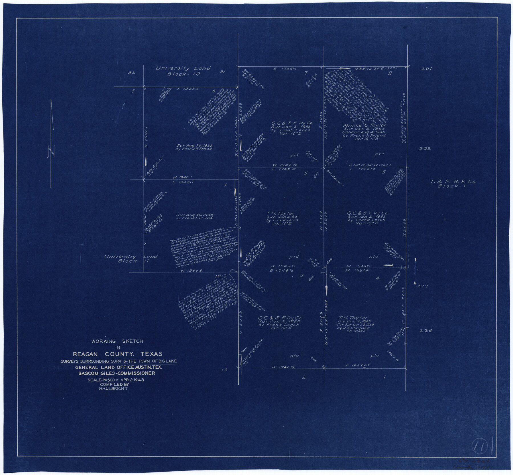
Reagan County Working Sketch 11
-
Map/Doc
71851
-
Collection
General Map Collection
-
Object Dates
4/2/1943 (Creation Date)
-
People and Organizations
Herbert H. Ulbricht (Draftsman)
-
Counties
Reagan
-
Subjects
Surveying Working Sketch
-
Height x Width
19.4 x 20.9 inches
49.3 x 53.1 cm
-
Scale
1" = 500 varas
Part of: General Map Collection
Plat Showing Theoretical Original City Limits of Corpus Christi

Print $20.00
- Digital $50.00
Plat Showing Theoretical Original City Limits of Corpus Christi
Size 41.3 x 41.7 inches
Map/Doc 4838
Map of Hopkins County

Print $20.00
- Digital $50.00
Map of Hopkins County
1872
Size 16.3 x 18.1 inches
Map/Doc 3678
Hood County Sketch File 18

Print $4.00
- Digital $50.00
Hood County Sketch File 18
Size 8.4 x 9.6 inches
Map/Doc 26601
Lampasas County Sketch File 9a

Print $4.00
- Digital $50.00
Lampasas County Sketch File 9a
1872
Size 12.8 x 8.0 inches
Map/Doc 29410
Harris County Sketch File AA3

Print $8.00
- Digital $50.00
Harris County Sketch File AA3
Size 8.2 x 8.5 inches
Map/Doc 25326
Sabine Bank to East Bay including Heald Bank

Print $20.00
- Digital $50.00
Sabine Bank to East Bay including Heald Bank
1982
Size 44.8 x 34.3 inches
Map/Doc 69852
Carta Eclesiastica

Print $20.00
- Digital $50.00
Carta Eclesiastica
1897
Size 26.1 x 34.1 inches
Map/Doc 96799
Bailey County Sketch File 16

Print $8.00
- Digital $50.00
Bailey County Sketch File 16
1941
Size 14.2 x 8.7 inches
Map/Doc 13977
Duval County Sketch File 13

Print $4.00
- Digital $50.00
Duval County Sketch File 13
1876
Size 8.5 x 10.3 inches
Map/Doc 21306
Map of Clay County, Cooke Land District, formely(sic.) Fannin Land District

Print $20.00
- Digital $50.00
Map of Clay County, Cooke Land District, formely(sic.) Fannin Land District
1859
Size 30.2 x 19.0 inches
Map/Doc 1049
Hutchinson County Rolled Sketch 38

Print $40.00
- Digital $50.00
Hutchinson County Rolled Sketch 38
1955
Size 43.6 x 67.7 inches
Map/Doc 9248
Flight Mission No. DCL-6C, Frame 67, Kenedy County

Print $20.00
- Digital $50.00
Flight Mission No. DCL-6C, Frame 67, Kenedy County
1943
Size 18.6 x 22.2 inches
Map/Doc 85909
You may also like
Flight Mission No. CRK-7P, Frame 26, Refugio County

Print $20.00
- Digital $50.00
Flight Mission No. CRK-7P, Frame 26, Refugio County
1956
Size 18.3 x 22.1 inches
Map/Doc 86946
Morris County Rolled Sketch 2A

Print $20.00
- Digital $50.00
Morris County Rolled Sketch 2A
Size 24.0 x 18.9 inches
Map/Doc 10244
Comal County Rolled Sketch 2

Print $20.00
- Digital $50.00
Comal County Rolled Sketch 2
1974
Size 21.8 x 13.3 inches
Map/Doc 5537


San Jacinto County Working Sketch 1

Print $20.00
- Digital $50.00
San Jacinto County Working Sketch 1
Size 30.0 x 29.6 inches
Map/Doc 63714
Guadalupe County, Texas

Print $20.00
- Digital $50.00
Guadalupe County, Texas
1880
Size 24.7 x 22.5 inches
Map/Doc 491
Ward County Rolled Sketch 24D

Print $40.00
- Digital $50.00
Ward County Rolled Sketch 24D
Size 45.6 x 69.0 inches
Map/Doc 10113
Hutchinson County

Print $20.00
- Digital $50.00
Hutchinson County
1922
Size 14.6 x 17.6 inches
Map/Doc 91183
Irion County Rolled Sketch 9

Print $20.00
- Digital $50.00
Irion County Rolled Sketch 9
1940
Size 31.9 x 30.6 inches
Map/Doc 6321
Andrews County

Print $40.00
- Digital $50.00
Andrews County
1951
Size 43.7 x 55.4 inches
Map/Doc 95416
Bell County Working Sketch 12

Print $20.00
- Digital $50.00
Bell County Working Sketch 12
1956
Size 17.2 x 22.0 inches
Map/Doc 67352