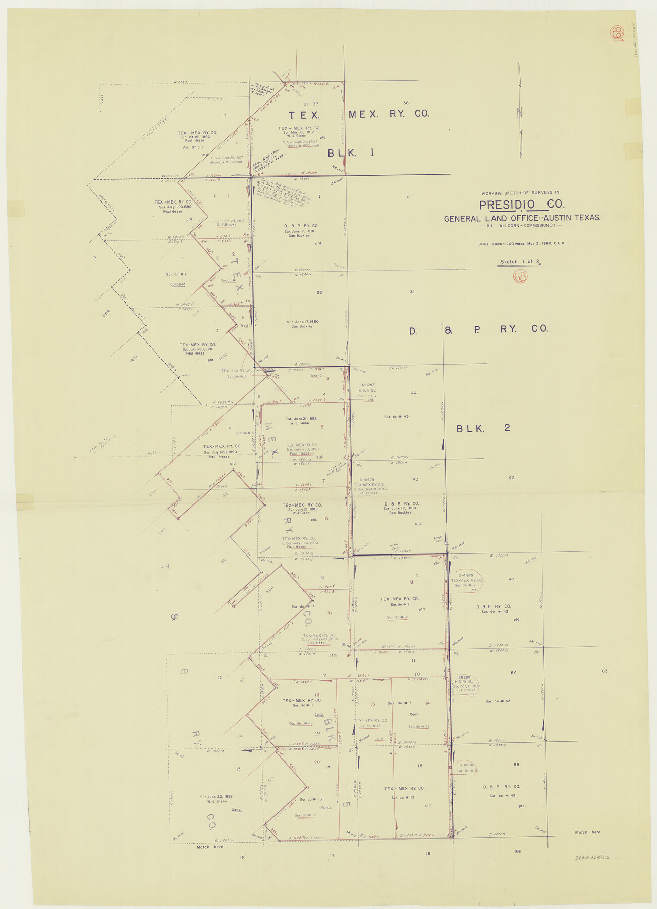
Presidio County Working Sketch 68
-
Map/Doc
71745
-
Collection
General Map Collection
-
Object Dates
5/31/1960 (Creation Date)
-
People and Organizations
Otto G. Kurio (Draftsman)
-
Counties
Presidio
-
Subjects
Surveying Working Sketch
-
Height x Width
45.8 x 33.1 inches
116.3 x 84.1 cm
-
Scale
1" = 400 varas
Part of: General Map Collection
Kleberg County Rolled Sketch 10-34

Print $20.00
- Digital $50.00
Kleberg County Rolled Sketch 10-34
1952
Size 38.2 x 32.3 inches
Map/Doc 9384
Leon County Sketch File 24

Print $70.00
- Digital $50.00
Leon County Sketch File 24
1932
Size 11.2 x 8.7 inches
Map/Doc 29781
Flight Mission No. CRC-3R, Frame 211, Chambers County

Print $20.00
- Digital $50.00
Flight Mission No. CRC-3R, Frame 211, Chambers County
1956
Size 18.6 x 22.2 inches
Map/Doc 84866
Flight Mission No. DQO-8K, Frame 113, Galveston County

Print $20.00
- Digital $50.00
Flight Mission No. DQO-8K, Frame 113, Galveston County
1952
Size 18.6 x 22.5 inches
Map/Doc 85195
The Spot Map of San Antonio including a classified directory showing location of postal zones, points of interest, places of business - and how to get there

Print $20.00
- Digital $50.00
The Spot Map of San Antonio including a classified directory showing location of postal zones, points of interest, places of business - and how to get there
1941
Size 21.2 x 28.2 inches
Map/Doc 95953
Carta General de la Republica Mexicana

Print $20.00
- Digital $50.00
Carta General de la Republica Mexicana
Size 23.1 x 31.1 inches
Map/Doc 96983
Flight Mission No. CUG-3P, Frame 34, Kleberg County

Print $20.00
- Digital $50.00
Flight Mission No. CUG-3P, Frame 34, Kleberg County
1956
Size 18.5 x 22.3 inches
Map/Doc 86239
Williamson County Boundary File 1

Print $66.00
- Digital $50.00
Williamson County Boundary File 1
Size 8.4 x 6.0 inches
Map/Doc 59974
Flight Mission No. CUG-3P, Frame 159, Kleberg County

Print $20.00
- Digital $50.00
Flight Mission No. CUG-3P, Frame 159, Kleberg County
1956
Size 18.7 x 22.3 inches
Map/Doc 86279
Aerial Perspective of Packery Channel

Print $20.00
- Digital $50.00
Aerial Perspective of Packery Channel
1938
Size 16.5 x 19.3 inches
Map/Doc 3001
Stephens County Working Sketch 30

Print $20.00
- Digital $50.00
Stephens County Working Sketch 30
1977
Size 26.4 x 15.7 inches
Map/Doc 63973
Gonzales County Working Sketch Graphic Index

Print $40.00
- Digital $50.00
Gonzales County Working Sketch Graphic Index
1986
Size 40.2 x 53.0 inches
Map/Doc 76556
You may also like
San Patricio County Working Sketch 21

Print $20.00
- Digital $50.00
San Patricio County Working Sketch 21
1981
Size 19.7 x 14.5 inches
Map/Doc 63783
Washington County Sketch File 7

Print $4.00
- Digital $50.00
Washington County Sketch File 7
1873
Size 12.2 x 7.6 inches
Map/Doc 39654

Houston Ship Channel, Alexander Island to Carpenter Bayou

Print $20.00
- Digital $50.00
Houston Ship Channel, Alexander Island to Carpenter Bayou
1960
Size 34.8 x 46.2 inches
Map/Doc 69906
Knox County Working Sketch 16

Print $20.00
- Digital $50.00
Knox County Working Sketch 16
1963
Size 21.9 x 22.0 inches
Map/Doc 70258
Pecos County Rolled Sketch 70A

Print $20.00
- Digital $50.00
Pecos County Rolled Sketch 70A
1929
Size 46.7 x 20.8 inches
Map/Doc 9709
Coleman County Working Sketch 24

Print $40.00
- Digital $50.00
Coleman County Working Sketch 24
1989
Size 43.1 x 54.3 inches
Map/Doc 68277
Throckmorton County Working Sketch 6

Print $20.00
- Digital $50.00
Throckmorton County Working Sketch 6
1952
Size 24.7 x 21.7 inches
Map/Doc 62115
Cooke County Rolled Sketch 1

Print $20.00
- Digital $50.00
Cooke County Rolled Sketch 1
1940
Size 26.2 x 15.8 inches
Map/Doc 5560
Guadalupe County Working Sketch 11

Print $40.00
- Digital $50.00
Guadalupe County Working Sketch 11
1972
Size 67.7 x 45.0 inches
Map/Doc 63320
General Highway Map, Cameron County, Texas

Print $20.00
General Highway Map, Cameron County, Texas
1961
Size 18.3 x 24.7 inches
Map/Doc 79398
Copy of Surveyor's Field Book, Morris Browning - In Blocks 7, 5 & 4, I&GNRRCo., Hutchinson and Carson Counties, Texas

Print $2.00
- Digital $50.00
Copy of Surveyor's Field Book, Morris Browning - In Blocks 7, 5 & 4, I&GNRRCo., Hutchinson and Carson Counties, Texas
1888
Size 7.0 x 8.9 inches
Map/Doc 62277