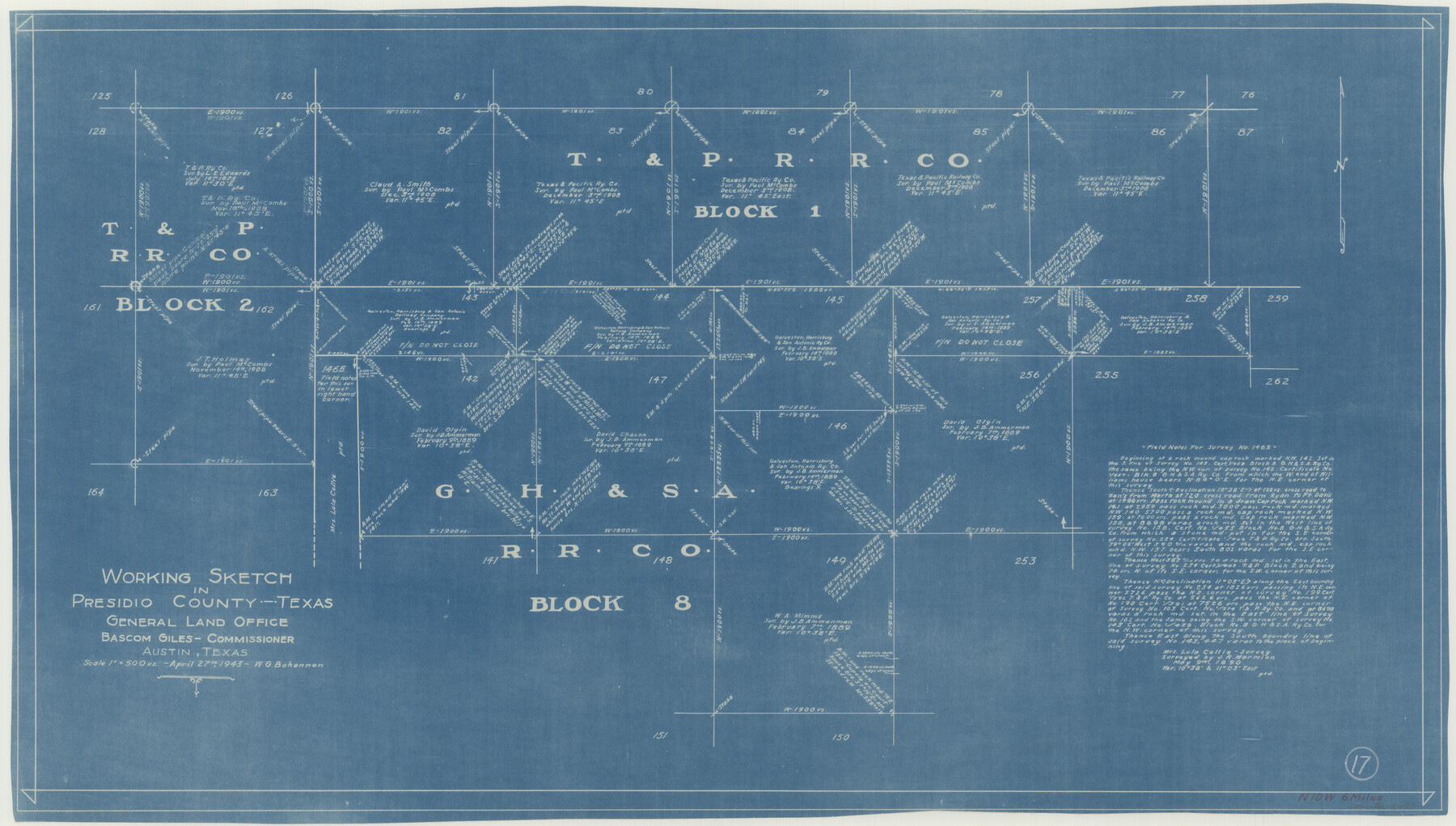
Presidio County Working Sketch 17
-
Map/Doc
71693
-
Collection
General Map Collection
-
Object Dates
4/27/1943 (Creation Date)
-
People and Organizations
W.G. Bohannon (Draftsman)
-
Counties
Presidio
-
Subjects
Surveying Working Sketch
-
Height x Width
17.5 x 30.9 inches
44.5 x 78.5 cm
-
Scale
1" = 500 varas
Part of: General Map Collection
Panola County Working Sketch 37

Print $20.00
- Digital $50.00
Panola County Working Sketch 37
1984
Map/Doc 71446
Kerr County Working Sketch Graphic Index

Print $40.00
- Digital $50.00
Kerr County Working Sketch Graphic Index
1923
Size 40.4 x 55.9 inches
Map/Doc 76605
Current Miscellaneous File 61

Print $4.00
- Digital $50.00
Current Miscellaneous File 61
1956
Size 9.3 x 13.6 inches
Map/Doc 74066
San Augustine County Working Sketch 22

Print $20.00
- Digital $50.00
San Augustine County Working Sketch 22
1974
Size 16.1 x 29.0 inches
Map/Doc 63710
Red River County Working Sketch Graphic Index, Sheet 2 (Sketches 49 to Most Recent)

Print $20.00
- Digital $50.00
Red River County Working Sketch Graphic Index, Sheet 2 (Sketches 49 to Most Recent)
1934
Size 46.4 x 39.1 inches
Map/Doc 76681
Guadalupe County Sketch File 11

Print $4.00
- Digital $50.00
Guadalupe County Sketch File 11
Size 8.0 x 12.8 inches
Map/Doc 24681
Pecos County Rolled Sketch 65

Print $20.00
- Digital $50.00
Pecos County Rolled Sketch 65
1928
Size 37.9 x 33.8 inches
Map/Doc 9699
Bowie County Working Sketch 20

Print $20.00
- Digital $50.00
Bowie County Working Sketch 20
1965
Size 33.0 x 31.9 inches
Map/Doc 67424
Bexar County Sketch File X

Print $4.00
- Digital $50.00
Bexar County Sketch File X
1878
Size 8.0 x 10.5 inches
Map/Doc 14463
Roberts County Boundary File 2d

Print $20.00
- Digital $50.00
Roberts County Boundary File 2d
Size 9.1 x 28.1 inches
Map/Doc 58366
Fort Bend County State Real Property Sketch 5

Print $40.00
- Digital $50.00
Fort Bend County State Real Property Sketch 5
1988
Size 35.3 x 43.6 inches
Map/Doc 61679
Nueces County Rolled Sketch 87

Print $20.00
- Digital $50.00
Nueces County Rolled Sketch 87
1983
Size 24.2 x 36.9 inches
Map/Doc 6989
You may also like
Karnes County Sketch File 10

Print $10.00
- Digital $50.00
Karnes County Sketch File 10
1885
Size 12.8 x 8.5 inches
Map/Doc 28597
Midland County Boundary File 4b

Print $18.00
- Digital $50.00
Midland County Boundary File 4b
Size 13.6 x 9.0 inches
Map/Doc 57186
New Map of the State of Texas Compiled from J. De Cordova's large Map

Print $20.00
- Digital $50.00
New Map of the State of Texas Compiled from J. De Cordova's large Map
Size 17.8 x 27.4 inches
Map/Doc 89252
The Republic County of Harrison. January 30, 1841

Print $20.00
The Republic County of Harrison. January 30, 1841
2020
Size 18.8 x 21.7 inches
Map/Doc 96170
Map of Texas and the Countries Adjacent compiled in the Bureau of the Corps of Topographical Engineers from the Best Authorities

Print $20.00
- Digital $50.00
Map of Texas and the Countries Adjacent compiled in the Bureau of the Corps of Topographical Engineers from the Best Authorities
1844
Size 22.3 x 33.4 inches
Map/Doc 93867
Val Verde County Working Sketch 96

Print $20.00
- Digital $50.00
Val Verde County Working Sketch 96
1979
Size 38.9 x 36.9 inches
Map/Doc 72231
Childress County Sketch File 2

Print $24.00
- Digital $50.00
Childress County Sketch File 2
Size 6.5 x 16.1 inches
Map/Doc 18244
[I. M. Bolton, L. S. Thacker, and R. C. Poteet Subdivisions]
![92577, [I. M. Bolton, L. S. Thacker, and R. C. Poteet Subdivisions], Twichell Survey Records](https://historictexasmaps.com/wmedia_w700/maps/92577-1.tif.jpg)
Print $20.00
- Digital $50.00
[I. M. Bolton, L. S. Thacker, and R. C. Poteet Subdivisions]
1924
Size 18.8 x 24.5 inches
Map/Doc 92577
Fannin County Sketch File 20b

Print $4.00
- Digital $50.00
Fannin County Sketch File 20b
1890
Size 14.2 x 8.9 inches
Map/Doc 22485
Map of Texas and Pacific Ry. Company's Surveys in the 80 Mile Reserve

Print $40.00
- Digital $50.00
Map of Texas and Pacific Ry. Company's Surveys in the 80 Mile Reserve
1885
Map/Doc 2241
Wharton County Working Sketch 10

Print $20.00
- Digital $50.00
Wharton County Working Sketch 10
1980
Size 23.6 x 18.7 inches
Map/Doc 72474
Map of the County of Cameron

Print $40.00
- Digital $50.00
Map of the County of Cameron
1884
Size 57.0 x 33.2 inches
Map/Doc 78646