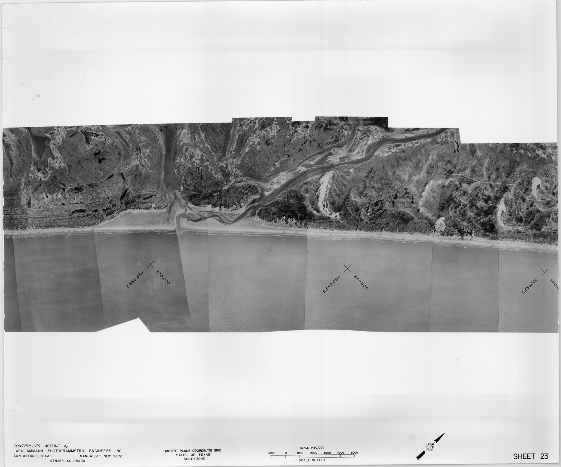
Controlled Mosaic by Jack Amman Photogrammetric Engineers, Inc - Sheet 23
[Coastal Aerial Photograph]
G-16-23a-b
-
Map/Doc
83472
-
Collection
General Map Collection
-
Object Dates
1954 (Creation Date)
-
Subjects
Aerial Photograph
-
Height x Width
20.0 x 24.0 inches
50.8 x 61.0 cm
-
Comments
Statement on reverse side: "The reverse reflects the data shown thereon which was obtained by aerial survey made from December 31, 1953 to March 17, 1954 by Jack Ammann Photogrammetric Engineers, Inc."
Part of: General Map Collection
Hill County Working Sketch 3

Print $20.00
- Digital $50.00
Hill County Working Sketch 3
1948
Size 22.7 x 19.5 inches
Map/Doc 66189
Flight Mission No. CRC-3R, Frame 202, Chambers County

Print $20.00
- Digital $50.00
Flight Mission No. CRC-3R, Frame 202, Chambers County
1956
Size 18.7 x 22.4 inches
Map/Doc 84857

Refugio County Working Sketch 7

Print $20.00
- Digital $50.00
Refugio County Working Sketch 7
1939
Size 21.3 x 23.2 inches
Map/Doc 63516
[Surveys in Robertson's Colony]
![78358, [Surveys in Robertson's Colony], General Map Collection](https://historictexasmaps.com/wmedia_w700/maps/78358.tif.jpg)
Print $20.00
- Digital $50.00
[Surveys in Robertson's Colony]
Size 18.6 x 26.5 inches
Map/Doc 78358

Runnels County Boundary File 2a

Print $8.00
- Digital $50.00
Runnels County Boundary File 2a
Size 11.5 x 8.8 inches
Map/Doc 58526
Crockett County Working Sketch 14

Print $3.00
- Digital $50.00
Crockett County Working Sketch 14
1916
Size 12.1 x 9.1 inches
Map/Doc 68347
Kendall County

Print $20.00
- Digital $50.00
Kendall County
1946
Size 40.8 x 35.4 inches
Map/Doc 73203
Travis County

Print $40.00
- Digital $50.00
Travis County
1880
Size 59.4 x 68.7 inches
Map/Doc 16903
Brown County Working Sketch Graphic Index

Print $20.00
- Digital $50.00
Brown County Working Sketch Graphic Index
1944
Size 47.6 x 37.1 inches
Map/Doc 76480
Kleberg County Aerial Photograph Index Sheet 5

Print $20.00
- Digital $50.00
Kleberg County Aerial Photograph Index Sheet 5
1956
Size 19.5 x 23.5 inches
Map/Doc 83722
You may also like
Jim Hogg County Rolled Sketch 7

Print $20.00
- Digital $50.00
Jim Hogg County Rolled Sketch 7
1948
Size 32.5 x 28.2 inches
Map/Doc 6442
[Sketch around H. & T. C. Block 34 and PSL Block B19]
![91954, [Sketch around H. & T. C. Block 34 and PSL Block B19], Twichell Survey Records](https://historictexasmaps.com/wmedia_w700/maps/91954-1.tif.jpg)
Print $20.00
- Digital $50.00
[Sketch around H. & T. C. Block 34 and PSL Block B19]
Size 36.9 x 28.8 inches
Map/Doc 91954
Webb County Working Sketch 9

Print $20.00
- Digital $50.00
Webb County Working Sketch 9
1911
Size 17.2 x 30.8 inches
Map/Doc 72374
Robertson County Sketch File 4

Print $12.00
Robertson County Sketch File 4
1862
Size 11.0 x 8.0 inches
Map/Doc 35352

Gregg County Boundary File 1

Print $6.00
- Digital $50.00
Gregg County Boundary File 1
Size 10.0 x 7.9 inches
Map/Doc 53981
Galveston County Rolled Sketch 19

Print $20.00
- Digital $50.00
Galveston County Rolled Sketch 19
Size 21.4 x 28.1 inches
Map/Doc 5957
Randall County Rolled Sketch 9B

Print $20.00
- Digital $50.00
Randall County Rolled Sketch 9B
1985
Size 45.0 x 34.5 inches
Map/Doc 9810
Martin County Rolled Sketch 2

Print $20.00
- Digital $50.00
Martin County Rolled Sketch 2
1906
Size 36.5 x 31.3 inches
Map/Doc 9492
Tyler County Rolled Sketch 3

Print $20.00
- Digital $50.00
Tyler County Rolled Sketch 3
1946
Size 45.5 x 35.6 inches
Map/Doc 10027
Shackelford County Working Sketch 15

Print $20.00
- Digital $50.00
Shackelford County Working Sketch 15
2012
Size 28.4 x 20.7 inches
Map/Doc 93321
Panola County Sketch File 15

Print $4.00
- Digital $50.00
Panola County Sketch File 15
1882
Size 10.3 x 8.7 inches
Map/Doc 33474