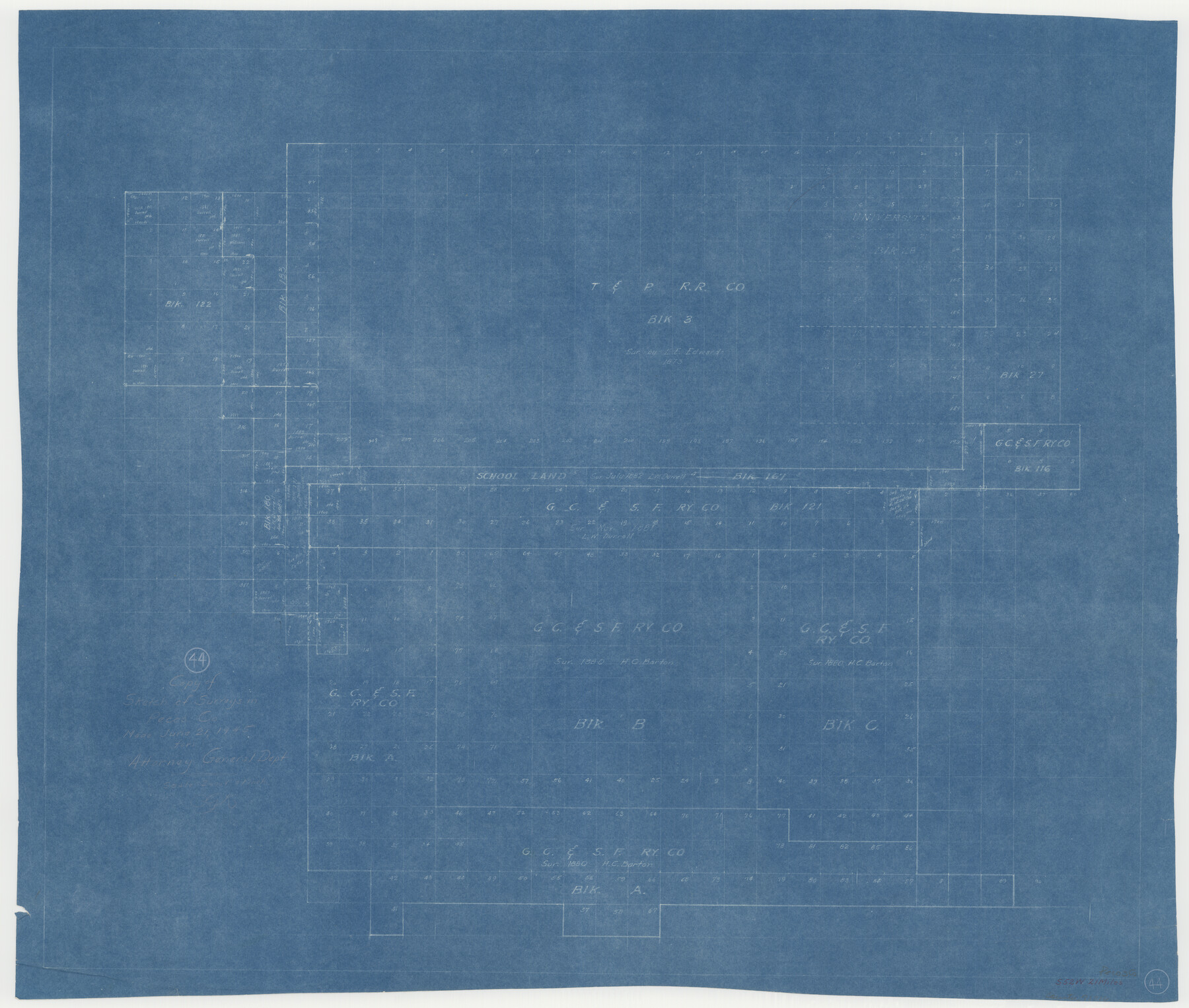
Pecos County Working Sketch 44
-
Map/Doc
71516
-
Collection
General Map Collection
-
Object Dates
6/21/1945 (Creation Date)
-
People and Organizations
Otto G. Kurio (Draftsman)
-
Counties
Pecos
-
Subjects
Surveying Working Sketch
-
Height x Width
29.6 x 35.0 inches
75.2 x 88.9 cm
-
Scale
1" = 2000 varas
Part of: General Map Collection
Hartley County Sketch File 16

Print $4.00
- Digital $50.00
Hartley County Sketch File 16
Size 11.1 x 7.1 inches
Map/Doc 26113
Webb County Working Sketch 29

Print $20.00
- Digital $50.00
Webb County Working Sketch 29
1933
Size 14.6 x 20.8 inches
Map/Doc 72394
Kimble County Working Sketch 78

Print $20.00
- Digital $50.00
Kimble County Working Sketch 78
1970
Size 46.0 x 31.6 inches
Map/Doc 70146
Cass County Rolled Sketch 5B

Print $20.00
- Digital $50.00
Cass County Rolled Sketch 5B
1949
Size 23.5 x 16.4 inches
Map/Doc 5412
Hutchinson County Rolled Sketch 27

Print $53.00
- Digital $50.00
Hutchinson County Rolled Sketch 27
1920
Size 33.3 x 27.1 inches
Map/Doc 6289
Henderson County Working Sketch 7

Print $20.00
- Digital $50.00
Henderson County Working Sketch 7
1922
Size 12.5 x 18.8 inches
Map/Doc 66140
Padre Island National Seashore

Print $4.00
- Digital $50.00
Padre Island National Seashore
Size 16.0 x 22.3 inches
Map/Doc 60532
Starr County Sketch File 10

Print $40.00
- Digital $50.00
Starr County Sketch File 10
Size 12.6 x 15.0 inches
Map/Doc 36863
Shelby County Working Sketch 19

Print $20.00
- Digital $50.00
Shelby County Working Sketch 19
1969
Size 36.9 x 30.2 inches
Map/Doc 63872
Buenaventura Reyes Grants

Print $20.00
- Digital $50.00
Buenaventura Reyes Grants
1896
Size 14.9 x 13.5 inches
Map/Doc 2057
Ft. W. & R. G. Ry. Right of Way Map, Chapin to Bluffdale, Hood County, Texas

Print $40.00
- Digital $50.00
Ft. W. & R. G. Ry. Right of Way Map, Chapin to Bluffdale, Hood County, Texas
1918
Size 36.5 x 50.5 inches
Map/Doc 64645
Map showing lands acquired for reservoir purposes in connection with Lake Worth and the boundary of territory annexed to the City of Fort Worth, Texas

Print $40.00
- Digital $50.00
Map showing lands acquired for reservoir purposes in connection with Lake Worth and the boundary of territory annexed to the City of Fort Worth, Texas
Size 46.6 x 59.6 inches
Map/Doc 62210
You may also like
Travis County

Print $40.00
- Digital $50.00
Travis County
1963
Size 37.7 x 50.7 inches
Map/Doc 73597
Wichita County Working Sketch 21

Print $20.00
- Digital $50.00
Wichita County Working Sketch 21
1951
Size 28.4 x 30.2 inches
Map/Doc 72531
The Mercer Colony. January 29, 1844

Print $20.00
The Mercer Colony. January 29, 1844
2020
Size 19.8 x 21.7 inches
Map/Doc 96361
Hudspeth County Rolled Sketch 47

Print $20.00
- Digital $50.00
Hudspeth County Rolled Sketch 47
1963
Size 22.2 x 25.9 inches
Map/Doc 6255
G. T. Oliver's Subdivisions of the Motley and Foard County School Leagues situated in Bailey Co., Texas

Print $20.00
- Digital $50.00
G. T. Oliver's Subdivisions of the Motley and Foard County School Leagues situated in Bailey Co., Texas
1909
Size 24.5 x 37.3 inches
Map/Doc 90181
Victoria County Working Sketch 8

Print $20.00
- Digital $50.00
Victoria County Working Sketch 8
1957
Size 25.9 x 37.8 inches
Map/Doc 72278
Bee County Sketch File 23

Print $8.00
- Digital $50.00
Bee County Sketch File 23
1878
Size 10.0 x 8.1 inches
Map/Doc 14318
Williamson County Sketch File 19

Print $24.00
- Digital $50.00
Williamson County Sketch File 19
Size 12.8 x 8.0 inches
Map/Doc 40345
[Block S, Sections 4 and 11]
![92834, [Block S, Sections 4 and 11], Twichell Survey Records](https://historictexasmaps.com/wmedia_w700/maps/92834-1.tif.jpg)
Print $20.00
- Digital $50.00
[Block S, Sections 4 and 11]
1951
Size 14.8 x 12.2 inches
Map/Doc 92834
English Field Notes of the Spanish Archives - Book 2

English Field Notes of the Spanish Archives - Book 2
1835
Map/Doc 96528
Flight Mission No. BRA-16M, Frame 113, Jefferson County

Print $20.00
- Digital $50.00
Flight Mission No. BRA-16M, Frame 113, Jefferson County
1953
Size 18.5 x 22.2 inches
Map/Doc 85723
General Highway Map, Baylor County, Texas

Print $20.00
General Highway Map, Baylor County, Texas
1961
Size 18.3 x 24.8 inches
Map/Doc 79363