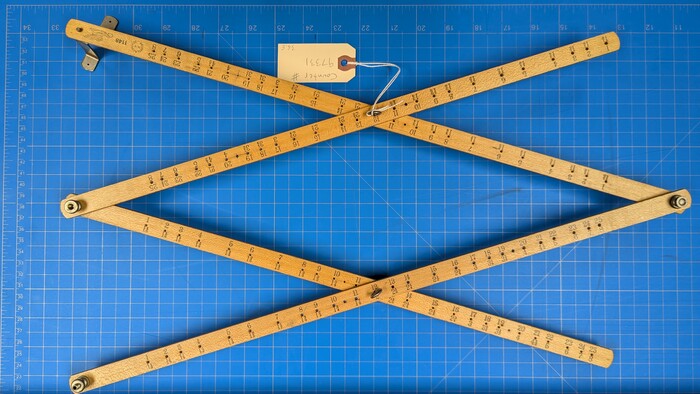
[Block S, Sections 4 and 11]
-
Map/Doc
92834
-
Collection
Twichell Survey Records
-
Object Dates
10/24/1951 (Creation Date)
-
People and Organizations
Sylvan Sanders (Surveyor/Engineer)
-
Counties
Lubbock
-
Height x Width
14.8 x 12.2 inches
37.6 x 31.0 cm
-
Comments
Block S, Sections 7, 8, 9, 11
Part of: Twichell Survey Records
[Sketch of part of G. & M. Block 5, G. & M. Block 4, Block M19 and Block 21W]
![93113, [Sketch of part of G. & M. Block 5, G. & M. Block 4, Block M19 and Block 21W], Twichell Survey Records](https://historictexasmaps.com/wmedia_w700/maps/93113-1.tif.jpg)
![93113, [Sketch of part of G. & M. Block 5, G. & M. Block 4, Block M19 and Block 21W], Twichell Survey Records](https://historictexasmaps.com/wmedia_w700/maps/93113-1.tif.jpg)
Print $20.00
- Digital $50.00
[Sketch of part of G. & M. Block 5, G. & M. Block 4, Block M19 and Block 21W]
Size 22.0 x 17.0 inches
Map/Doc 93113
Map of the Land Purchased by C.W. Post from the US, T, and OS Ranches situated in Garza and Lynn Counties, Texas


Print $40.00
- Digital $50.00
Map of the Land Purchased by C.W. Post from the US, T, and OS Ranches situated in Garza and Lynn Counties, Texas
Size 47.6 x 57.4 inches
Map/Doc 89948
[Section 1, Block 12, H. & G. N. RR. Co.]
![91651, [Section 1, Block 12, H. & G. N. RR. Co.], Twichell Survey Records](https://historictexasmaps.com/wmedia_w700/maps/91651-1.tif.jpg)
![91651, [Section 1, Block 12, H. & G. N. RR. Co.], Twichell Survey Records](https://historictexasmaps.com/wmedia_w700/maps/91651-1.tif.jpg)
Print $3.00
- Digital $50.00
[Section 1, Block 12, H. & G. N. RR. Co.]
Size 12.9 x 9.6 inches
Map/Doc 91651
[Blocks 43 & 10, W. P. Winsen 10 Surveys Known as 50 Cent Land]
![91382, [Blocks 43 & 10, W. P. Winsen 10 Surveys Known as 50 Cent Land], Twichell Survey Records](https://historictexasmaps.com/wmedia_w700/maps/91382-1.tif.jpg)
![91382, [Blocks 43 & 10, W. P. Winsen 10 Surveys Known as 50 Cent Land], Twichell Survey Records](https://historictexasmaps.com/wmedia_w700/maps/91382-1.tif.jpg)
Print $20.00
- Digital $50.00
[Blocks 43 & 10, W. P. Winsen 10 Surveys Known as 50 Cent Land]
1882
Size 36.6 x 16.8 inches
Map/Doc 91382
[Palmer, Bailey, Lamb, and Cochran Counties]
![92474, [Palmer, Bailey, Lamb, and Cochran Counties], Twichell Survey Records](https://historictexasmaps.com/wmedia_w700/maps/92474-1.tif.jpg)
![92474, [Palmer, Bailey, Lamb, and Cochran Counties], Twichell Survey Records](https://historictexasmaps.com/wmedia_w700/maps/92474-1.tif.jpg)
Print $20.00
- Digital $50.00
[Palmer, Bailey, Lamb, and Cochran Counties]
Size 15.3 x 19.3 inches
Map/Doc 92474
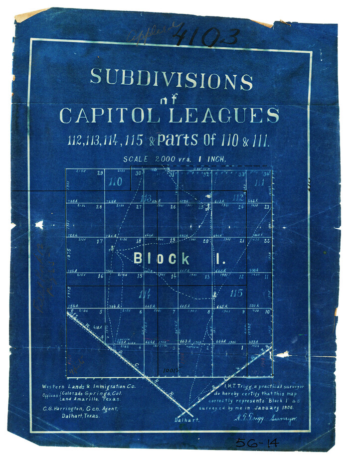
Subdivisions of Capitol Leagues 112, 113, 114, 115, and parts of 110 and 111

Print $2.00
- Digital $50.00
Subdivisions of Capitol Leagues 112, 113, 114, 115, and parts of 110 and 111
1906
Size 6.3 x 8.3 inches
Map/Doc 90518
[Sketch showing Blocks B-11, G and M-2 and 3, L, and 47, Sections 77-102]
![91734, [Sketch showing Blocks B-11, G and M-2 and 3, L, and 47, Sections 77-102], Twichell Survey Records](https://historictexasmaps.com/wmedia_w700/maps/91734-1.tif.jpg)
![91734, [Sketch showing Blocks B-11, G and M-2 and 3, L, and 47, Sections 77-102], Twichell Survey Records](https://historictexasmaps.com/wmedia_w700/maps/91734-1.tif.jpg)
Print $20.00
- Digital $50.00
[Sketch showing Blocks B-11, G and M-2 and 3, L, and 47, Sections 77-102]
Size 25.6 x 18.9 inches
Map/Doc 91734
R. S. Coon's Blue Creek Ranch, Moore County, Texas


Print $20.00
- Digital $50.00
R. S. Coon's Blue Creek Ranch, Moore County, Texas
Size 15.8 x 15.7 inches
Map/Doc 91487
East line Stonewall Co./West line Haskell Co.


Print $20.00
- Digital $50.00
East line Stonewall Co./West line Haskell Co.
1893
Size 7.5 x 39.1 inches
Map/Doc 91929
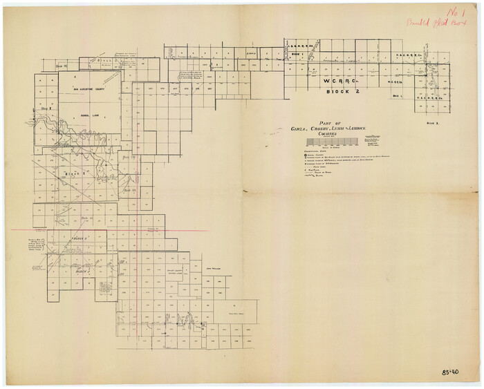
Part of Garza, Crosby, Lynn and Lubbock Counties

Print $20.00
- Digital $50.00
Part of Garza, Crosby, Lynn and Lubbock Counties
1912
Size 24.6 x 19.8 inches
Map/Doc 90907
Sec. 22, Block 103


Print $2.00
- Digital $50.00
Sec. 22, Block 103
Size 8.4 x 9.5 inches
Map/Doc 90431
Plat of 83.94 acre vacant tract of land showing connections to adjoining surveys


Print $20.00
- Digital $50.00
Plat of 83.94 acre vacant tract of land showing connections to adjoining surveys
1918
Size 17.7 x 21.1 inches
Map/Doc 90823
You may also like
Van Zandt County Sketch File 8


Print $10.00
- Digital $50.00
Van Zandt County Sketch File 8
1851
Size 9.7 x 7.9 inches
Map/Doc 39379
Baylor County Sketch File 12E


Print $11.00
- Digital $50.00
Baylor County Sketch File 12E
1900
Size 14.3 x 8.8 inches
Map/Doc 14159
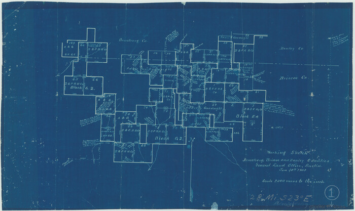
Armstrong County Working Sketch 1

Print $20.00
- Digital $50.00
Armstrong County Working Sketch 1
1903
Size 10.3 x 17.2 inches
Map/Doc 67232
Wise County Sketch File 34


Print $6.00
- Digital $50.00
Wise County Sketch File 34
1856
Size 6.3 x 9.6 inches
Map/Doc 40592
Runnels County Rolled Sketch 46


Print $20.00
- Digital $50.00
Runnels County Rolled Sketch 46
1954
Size 33.5 x 39.0 inches
Map/Doc 9872
[River Secs. 55-79, Archer County School Land League 3 and surrounding surveys]
![90472, [River Secs. 55-79, Archer County School Land League 3 and surrounding surveys], Twichell Survey Records](https://historictexasmaps.com/wmedia_w700/maps/90472-1.tif.jpg)
![90472, [River Secs. 55-79, Archer County School Land League 3 and surrounding surveys], Twichell Survey Records](https://historictexasmaps.com/wmedia_w700/maps/90472-1.tif.jpg)
Print $20.00
- Digital $50.00
[River Secs. 55-79, Archer County School Land League 3 and surrounding surveys]
Size 28.3 x 20.4 inches
Map/Doc 90472
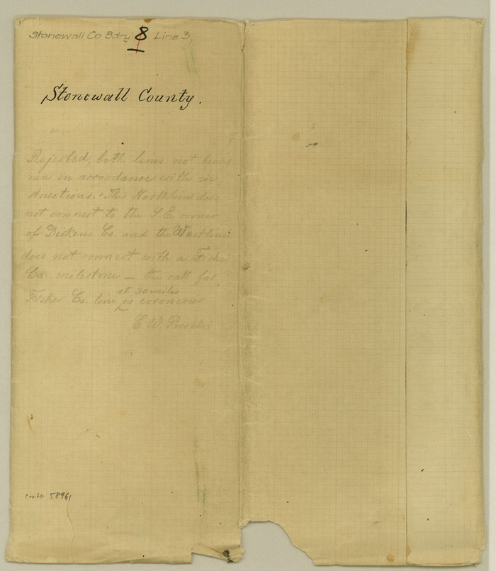
Stonewall County Boundary File 3

Print $54.00
- Digital $50.00
Stonewall County Boundary File 3
Size 9.2 x 8.0 inches
Map/Doc 58961
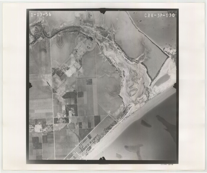
Flight Mission No. CRK-3P, Frame 130, Refugio County

Print $20.00
- Digital $50.00
Flight Mission No. CRK-3P, Frame 130, Refugio County
1956
Size 18.6 x 22.3 inches
Map/Doc 86918
Arthur E. Miller Irrigated Farm West Half Section 19, Block D6


Print $20.00
- Digital $50.00
Arthur E. Miller Irrigated Farm West Half Section 19, Block D6
Size 11.9 x 21.8 inches
Map/Doc 92317
Guadalupe County Sketch File 15f


Print $10.00
- Digital $50.00
Guadalupe County Sketch File 15f
Size 12.7 x 8.2 inches
Map/Doc 24710
Hall County Working Sketch 2


Print $40.00
- Digital $50.00
Hall County Working Sketch 2
1907
Size 40.9 x 48.4 inches
Map/Doc 63330
![92834, [Block S, Sections 4 and 11], Twichell Survey Records](https://historictexasmaps.com/wmedia_w1800h1800/maps/92834-1.tif.jpg)
