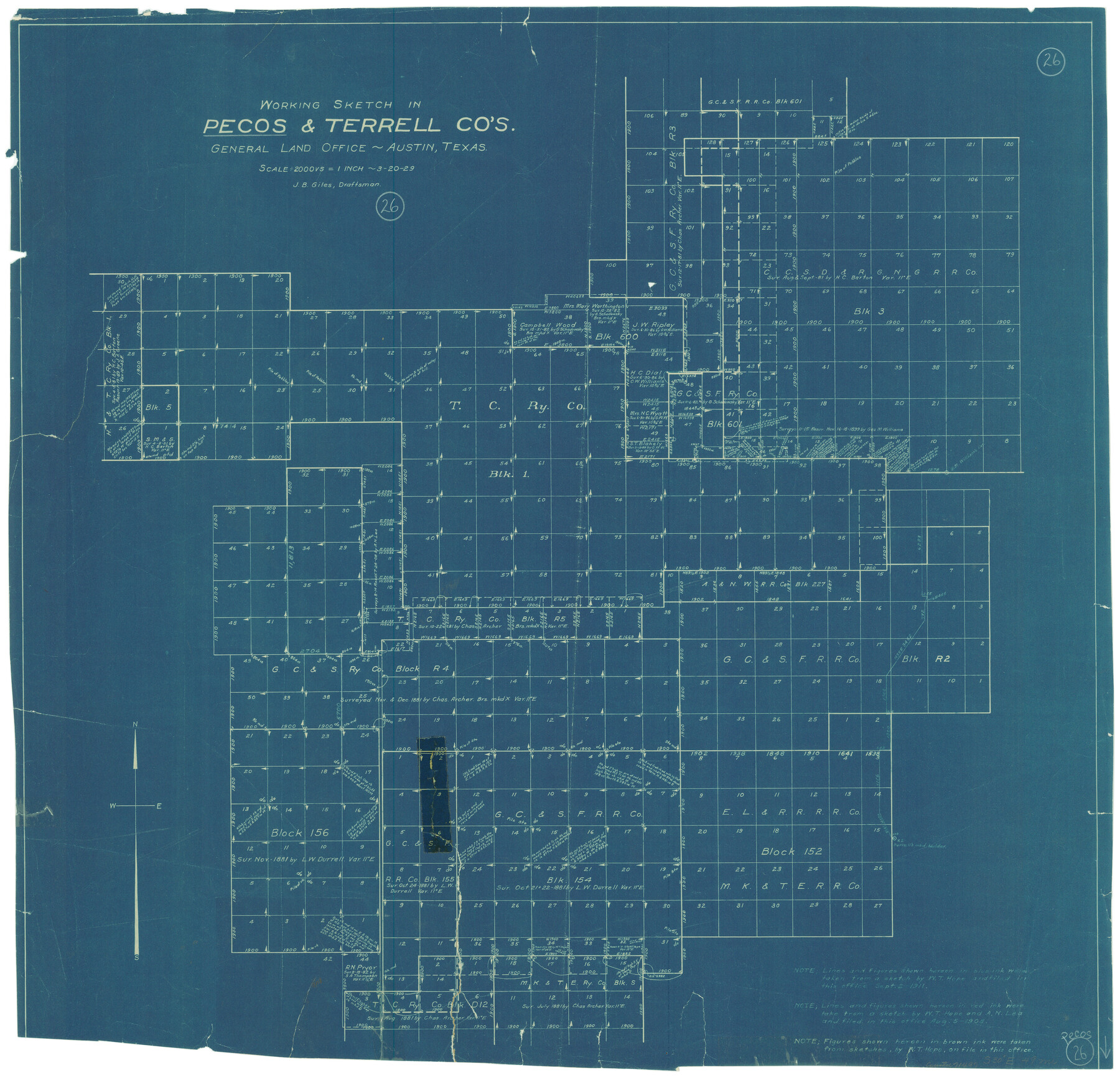
Pecos County Working Sketch 26
-
Map/Doc
71497
-
Collection
General Map Collection
-
Object Dates
3/20/1929 (Creation Date)
-
People and Organizations
J. Bascom Giles (Draftsman)
-
Counties
Pecos
-
Subjects
Surveying Working Sketch
-
Height x Width
27.6 x 28.6 inches
70.1 x 72.6 cm
-
Scale
1" = 2000 varas
Part of: General Map Collection

Nueces County NRC Article 33.136 Location Key Sheet

Print $20.00
- Digital $50.00
Nueces County NRC Article 33.136 Location Key Sheet
1975
Size 27.3 x 23.0 inches
Map/Doc 88587
Angelina County Sketch File 21b

Print $6.00
- Digital $50.00
Angelina County Sketch File 21b
1889
Size 13.9 x 8.5 inches
Map/Doc 13044
McMullen County

Print $40.00
- Digital $50.00
McMullen County
1967
Size 49.7 x 34.8 inches
Map/Doc 73236
Reeves County Rolled Sketch 40

Print $20.00
- Digital $50.00
Reeves County Rolled Sketch 40
2019
Size 18.1 x 24.2 inches
Map/Doc 95826
Maps of Gulf Intracoastal Waterway, Texas - Sabine River to the Rio Grande and connecting waterways including ship channels

Print $20.00
- Digital $50.00
Maps of Gulf Intracoastal Waterway, Texas - Sabine River to the Rio Grande and connecting waterways including ship channels
1966
Size 14.5 x 22.3 inches
Map/Doc 61948
Nueces County Rolled Sketch 115

Print $215.00
Nueces County Rolled Sketch 115
1992
Size 24.2 x 35.2 inches
Map/Doc 7126
Flight Mission No. DQN-2K, Frame 65, Calhoun County

Print $20.00
- Digital $50.00
Flight Mission No. DQN-2K, Frame 65, Calhoun County
1953
Size 18.5 x 22.2 inches
Map/Doc 84257
Webb County Sketch File 60

Print $8.00
- Digital $50.00
Webb County Sketch File 60
1943
Size 14.4 x 8.9 inches
Map/Doc 39855
Fort Bend County State Real Property Sketch 1

Print $40.00
- Digital $50.00
Fort Bend County State Real Property Sketch 1
1986
Size 34.7 x 43.2 inches
Map/Doc 61675
Map of Sutton County

Print $20.00
- Digital $50.00
Map of Sutton County
1887
Size 24.5 x 29.5 inches
Map/Doc 4061
Bee County Sketch File 34

Print $14.00
Bee County Sketch File 34
2022
Size 11.0 x 8.5 inches
Map/Doc 97030
You may also like
Ochiltree County Sketch File 8

Print $16.00
- Digital $50.00
Ochiltree County Sketch File 8
1933
Size 11.2 x 8.7 inches
Map/Doc 33186
Sherman County Rolled Sketch 4

Print $20.00
- Digital $50.00
Sherman County Rolled Sketch 4
Size 23.1 x 31.7 inches
Map/Doc 7786
Navarro County Rolled Sketch 6

Print $40.00
- Digital $50.00
Navarro County Rolled Sketch 6
Size 43.1 x 50.8 inches
Map/Doc 10307
Fractional Township No. 7 South Range No. 6 West of the Indian Meridian, Indian Territory

Print $20.00
- Digital $50.00
Fractional Township No. 7 South Range No. 6 West of the Indian Meridian, Indian Territory
1898
Size 19.2 x 24.2 inches
Map/Doc 75188
[Atlas F, Table of Contents]
![78379, [Atlas F, Table of Contents], General Map Collection](https://historictexasmaps.com/wmedia_w700/maps/78379.tif.jpg)
Print $2.00
- Digital $50.00
[Atlas F, Table of Contents]
Size 15.3 x 9.2 inches
Map/Doc 78379

Map of Titus County

Print $20.00
- Digital $50.00
Map of Titus County
1857
Size 24.1 x 34.5 inches
Map/Doc 83380
Andrews County Working Sketch 32

Print $20.00
- Digital $50.00
Andrews County Working Sketch 32
1990
Size 29.6 x 31.5 inches
Map/Doc 67078
Irion County Rolled Sketch 13

Print $20.00
- Digital $50.00
Irion County Rolled Sketch 13
1948
Size 27.0 x 30.7 inches
Map/Doc 6323
Martin County Rolled Sketch 4

Print $20.00
- Digital $50.00
Martin County Rolled Sketch 4
1908
Size 40.9 x 24.8 inches
Map/Doc 6665
G. C. & S. F. Ry. Alinement [sic] and Right of Way Map of Dallas Branch, Johnson County, Texas
![64650, G. C. & S. F. Ry. Alinement [sic] and Right of Way Map of Dallas Branch, Johnson County, Texas, General Map Collection](https://historictexasmaps.com/wmedia_w700/maps/64650.tif.jpg)
Print $40.00
- Digital $50.00
G. C. & S. F. Ry. Alinement [sic] and Right of Way Map of Dallas Branch, Johnson County, Texas
1925
Size 38.0 x 125.2 inches
Map/Doc 64650
Culberson County Rolled Sketch 34

Print $20.00
- Digital $50.00
Culberson County Rolled Sketch 34
1938
Size 43.5 x 43.6 inches
Map/Doc 8749