G. C. & S. F. Ry. Alinement [sic] and Right of Way Map of Dallas Branch, Johnson County, Texas
M.P. 0 to M.P. 22
Z-2-168
-
Map/Doc
64650
-
Collection
General Map Collection
-
Object Dates
1925 (Creation Date)
1943/6/25 (File Date)
-
Counties
Tarrant Johnson Hood
-
Subjects
Railroads
-
Height x Width
38.0 x 125.2 inches
96.5 x 318.0 cm
-
Medium
blueprint/diazo
-
Scale
1" = 400 feet
-
Comments
See counter nos. 64647 through 64649 and 64651 through 64654 for other segments.
-
Features
GC&SF
West Fork of Buffalo Creek
Cleburne
Keene
Meredith
Part of: General Map Collection
Dickens County Sketch File 2b

Print $14.00
- Digital $50.00
Dickens County Sketch File 2b
Size 8.8 x 13.4 inches
Map/Doc 20952
Ellis County Sketch File 16

Print $4.00
- Digital $50.00
Ellis County Sketch File 16
Size 13.1 x 8.3 inches
Map/Doc 21858
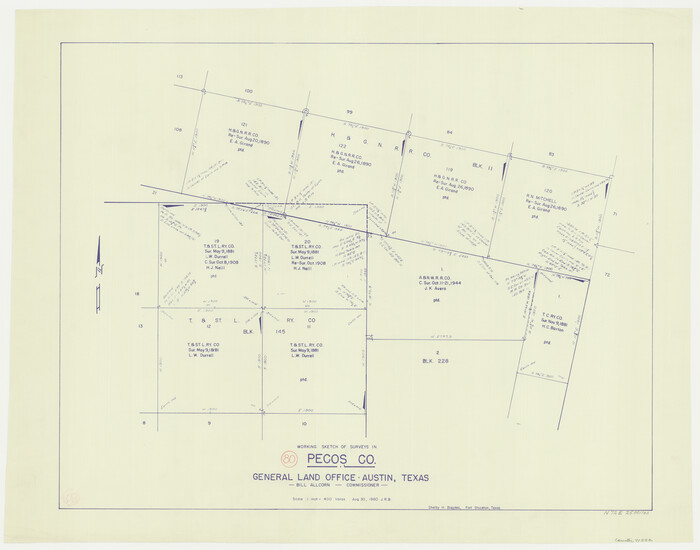
Pecos County Working Sketch 80

Print $20.00
- Digital $50.00
Pecos County Working Sketch 80
1960
Size 25.0 x 31.8 inches
Map/Doc 71552
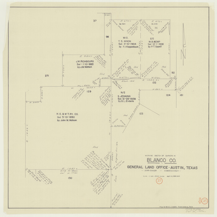
Blanco County Working Sketch 25

Print $20.00
- Digital $50.00
Blanco County Working Sketch 25
1966
Size 24.8 x 24.8 inches
Map/Doc 67385
Harris County Sketch File 3


Print $4.00
- Digital $50.00
Harris County Sketch File 3
Size 7.0 x 6.2 inches
Map/Doc 25334
Kendall County Sketch File 16


Print $4.00
- Digital $50.00
Kendall County Sketch File 16
1877
Size 8.7 x 5.9 inches
Map/Doc 28705
Freestone County Rolled Sketch 11


Print $20.00
- Digital $50.00
Freestone County Rolled Sketch 11
1934
Size 17.9 x 34.1 inches
Map/Doc 5911
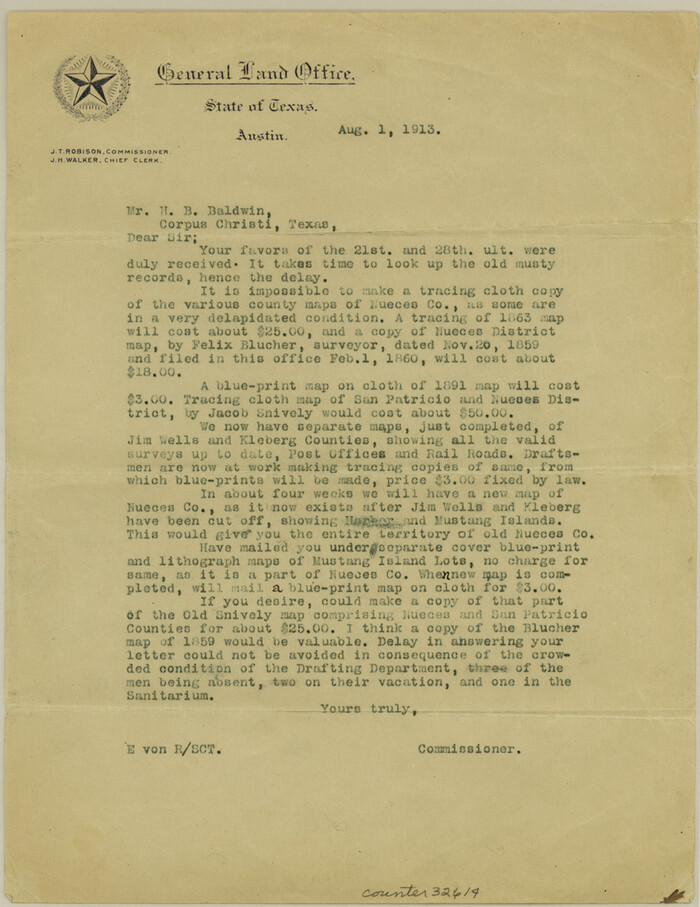
Nueces County Sketch File 37

Print $2.00
- Digital $50.00
Nueces County Sketch File 37
1913
Size 11.2 x 8.6 inches
Map/Doc 32614
Henderson County Working Sketch 39


Print $20.00
- Digital $50.00
Henderson County Working Sketch 39
1982
Size 24.3 x 19.0 inches
Map/Doc 66172
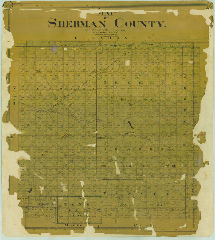
Map of Sherman County

Print $20.00
- Digital $50.00
Map of Sherman County
1902
Size 40.9 x 36.6 inches
Map/Doc 16815
Haskell County
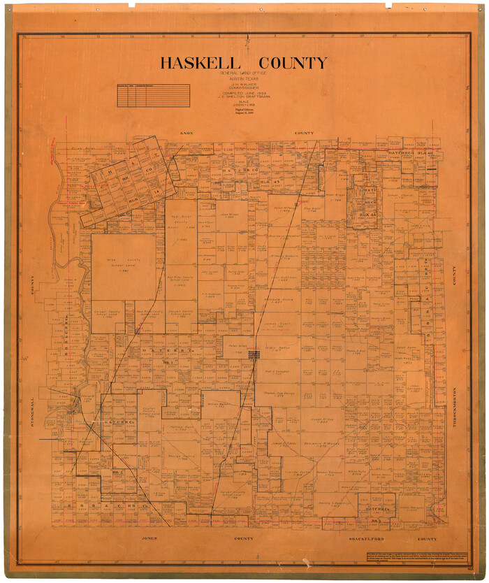

Print $20.00
- Digital $50.00
Haskell County
1933
Size 46.4 x 39.3 inches
Map/Doc 95525
Anderson County


Print $40.00
- Digital $50.00
Anderson County
1942
Size 53.5 x 47.1 inches
Map/Doc 73066
You may also like
San Saba County Sketch File 15
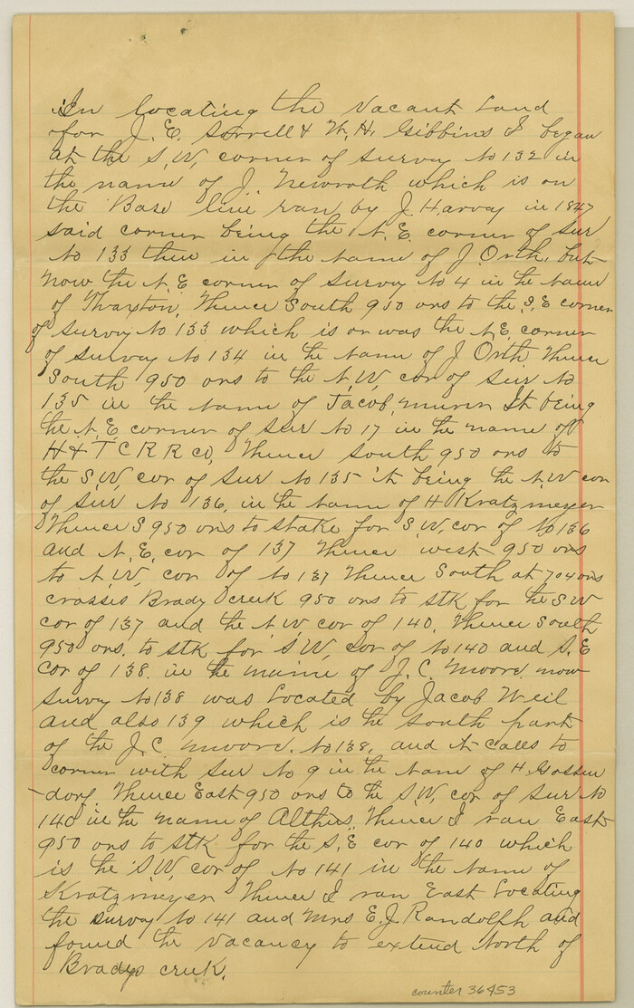

Print $6.00
- Digital $50.00
San Saba County Sketch File 15
Size 14.2 x 8.9 inches
Map/Doc 36453
Map of subdivision of submerged land in the Gulf of Mexico fronting on Matagorda Island and Peninsula


Print $40.00
- Digital $50.00
Map of subdivision of submerged land in the Gulf of Mexico fronting on Matagorda Island and Peninsula
1940
Size 21.5 x 70.0 inches
Map/Doc 2931
[Sketch for Mineral Application 11108 - Greens Bayou]
![76156, [Sketch for Mineral Application 11108 - Greens Bayou], General Map Collection](https://historictexasmaps.com/wmedia_w700/maps/76156.tif.jpg)
![76156, [Sketch for Mineral Application 11108 - Greens Bayou], General Map Collection](https://historictexasmaps.com/wmedia_w700/maps/76156.tif.jpg)
Print $40.00
- Digital $50.00
[Sketch for Mineral Application 11108 - Greens Bayou]
Size 58.2 x 31.4 inches
Map/Doc 76156
Wise County Sketch File 19


Print $4.00
- Digital $50.00
Wise County Sketch File 19
1857
Size 11.0 x 8.2 inches
Map/Doc 40555
[Block M, Section 132, Dawson County, Texas]
![92631, [Block M, Section 132, Dawson County, Texas], Twichell Survey Records](https://historictexasmaps.com/wmedia_w700/maps/92631-1.tif.jpg)
![92631, [Block M, Section 132, Dawson County, Texas], Twichell Survey Records](https://historictexasmaps.com/wmedia_w700/maps/92631-1.tif.jpg)
Print $20.00
- Digital $50.00
[Block M, Section 132, Dawson County, Texas]
1951
Size 15.9 x 14.3 inches
Map/Doc 92631
Map and Profile No. 1 from the Red River to the Rio Grande; from explorations and surveys made under the direction of the Hon. Jefferson Davis, Secretary of War by Captain John Pope, Corps. Topl Engrs.
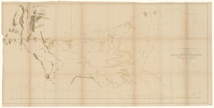

Print $40.00
- Digital $50.00
Map and Profile No. 1 from the Red River to the Rio Grande; from explorations and surveys made under the direction of the Hon. Jefferson Davis, Secretary of War by Captain John Pope, Corps. Topl Engrs.
Size 30.2 x 59.9 inches
Map/Doc 95176
El Paso County Working Sketch 48
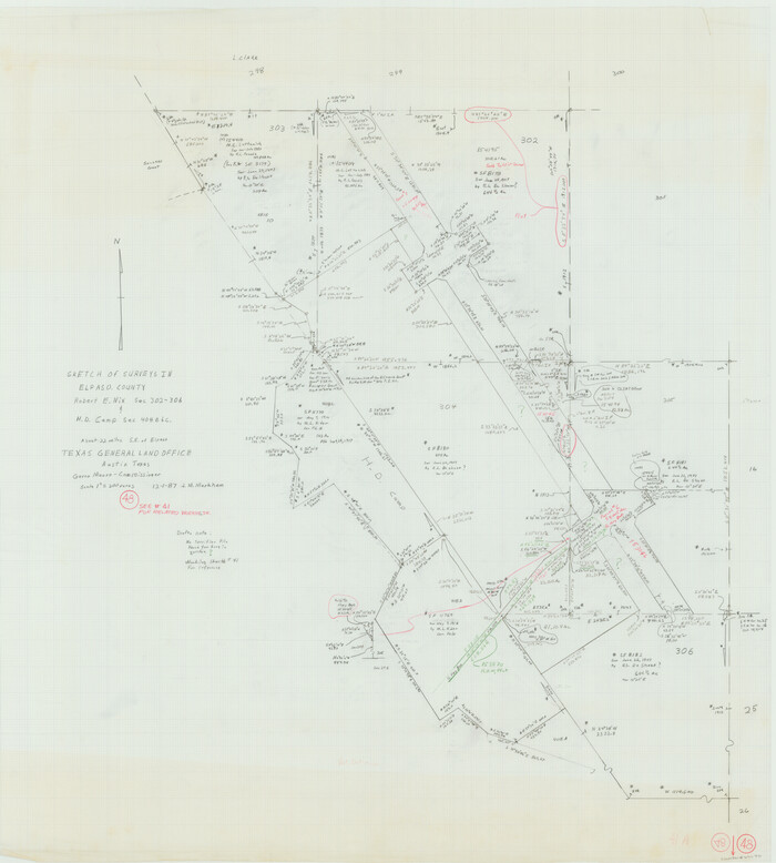

Print $20.00
- Digital $50.00
El Paso County Working Sketch 48
1987
Size 32.7 x 29.4 inches
Map/Doc 69070
Pecos County Rolled Sketch Q


Print $20.00
- Digital $50.00
Pecos County Rolled Sketch Q
Size 18.7 x 12.2 inches
Map/Doc 7311
McLennan County Boundary File 2a
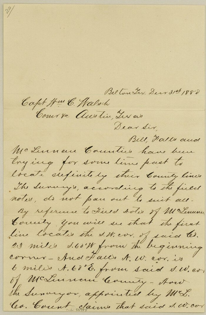

Print $10.00
- Digital $50.00
McLennan County Boundary File 2a
Size 8.7 x 5.7 inches
Map/Doc 56958
Caldwell County Working Sketch 6


Print $20.00
- Digital $50.00
Caldwell County Working Sketch 6
1958
Size 21.8 x 26.3 inches
Map/Doc 67836
![64650, G. C. & S. F. Ry. Alinement [sic] and Right of Way Map of Dallas Branch, Johnson County, Texas, General Map Collection](https://historictexasmaps.com/wmedia_w1800h1800/maps/64650.tif.jpg)
