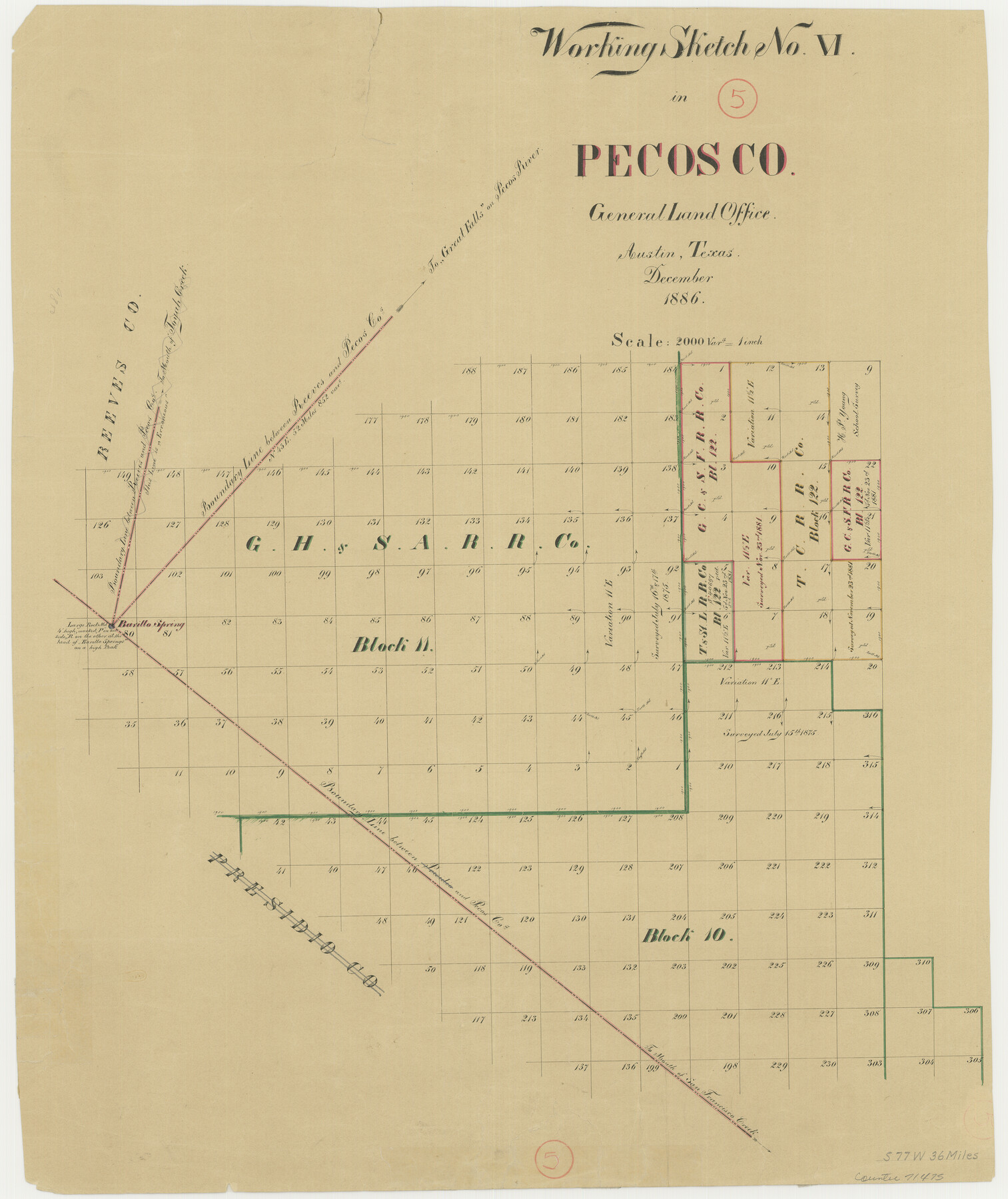
Pecos County Working Sketch 5
-
Map/Doc
71475
-
Collection
General Map Collection
-
Object Dates
12/1886 (Creation Date)
-
Counties
Pecos Reeves
-
Subjects
Surveying Working Sketch
-
Height x Width
22.8 x 19.2 inches
57.9 x 48.8 cm
-
Scale
1" = 2000 varas
Part of: General Map Collection
Clay County Boundary File 16

Print $56.00
- Digital $50.00
Clay County Boundary File 16
Size 9.1 x 3.7 inches
Map/Doc 51422
Johnson County Working Sketch 6

Print $20.00
- Digital $50.00
Johnson County Working Sketch 6
1951
Size 30.6 x 32.6 inches
Map/Doc 66619
Van Zandt County Working Sketch 13

Print $20.00
- Digital $50.00
Van Zandt County Working Sketch 13
1982
Size 14.4 x 14.0 inches
Map/Doc 72263
Live Oak County Working Sketch 26

Print $20.00
- Digital $50.00
Live Oak County Working Sketch 26
1980
Size 13.9 x 16.9 inches
Map/Doc 70611
Current Miscellaneous File 54

Print $24.00
- Digital $50.00
Current Miscellaneous File 54
1955
Size 11.2 x 8.7 inches
Map/Doc 74042
Hutchinson County Rolled Sketch 13

Print $20.00
- Digital $50.00
Hutchinson County Rolled Sketch 13
Size 17.8 x 16.7 inches
Map/Doc 6283
Bosque County Sketch File 6

Print $4.00
- Digital $50.00
Bosque County Sketch File 6
1851
Size 12.1 x 7.6 inches
Map/Doc 14748
Nacogdoches County Sketch File 2

Print $4.00
- Digital $50.00
Nacogdoches County Sketch File 2
1852
Size 8.0 x 6.4 inches
Map/Doc 32235
Chambers County Sketch File 57

Print $13.00
- Digital $50.00
Chambers County Sketch File 57
1935
Size 14.7 x 8.9 inches
Map/Doc 18102
Austin County

Print $20.00
- Digital $50.00
Austin County
1943
Size 38.5 x 41.3 inches
Map/Doc 77205
Hutchinson County Sketch File 16

Print $10.00
- Digital $50.00
Hutchinson County Sketch File 16
1906
Size 11.1 x 8.6 inches
Map/Doc 27213
Flight Mission No. DAG-24K, Frame 43, Matagorda County

Print $20.00
- Digital $50.00
Flight Mission No. DAG-24K, Frame 43, Matagorda County
1953
Size 16.1 x 15.8 inches
Map/Doc 86530
You may also like
Newton County Sketch File 4

Print $22.00
- Digital $50.00
Newton County Sketch File 4
1876
Size 8.0 x 12.8 inches
Map/Doc 32360
Galveston County NRC Article 33.136 Sketch 29

Print $21.00
- Digital $50.00
Galveston County NRC Article 33.136 Sketch 29
2005
Size 22.4 x 31.9 inches
Map/Doc 83282
Flight Mission No. CRC-2R, Frame 190, Chambers County

Print $20.00
- Digital $50.00
Flight Mission No. CRC-2R, Frame 190, Chambers County
1956
Size 18.8 x 22.4 inches
Map/Doc 84768
City of Plainview, Hale County, Texas

Print $40.00
- Digital $50.00
City of Plainview, Hale County, Texas
Size 43.5 x 53.3 inches
Map/Doc 89841
Sterling County Working Sketch 5

Print $20.00
- Digital $50.00
Sterling County Working Sketch 5
1954
Size 18.9 x 34.9 inches
Map/Doc 63987
Glasscock County Sketch File 20

Print $40.00
- Digital $50.00
Glasscock County Sketch File 20
1935
Size 15.6 x 12.6 inches
Map/Doc 24196
Hudspeth County Rolled Sketch 73

Print $40.00
- Digital $50.00
Hudspeth County Rolled Sketch 73
1992
Size 38.9 x 49.3 inches
Map/Doc 9236
General Highway Map. Detail of Cities and Towns in Collin County, Texas

Print $20.00
General Highway Map. Detail of Cities and Towns in Collin County, Texas
1961
Size 18.2 x 24.8 inches
Map/Doc 79414

Goliad County Rolled Sketch 3

Print $4.00
- Digital $50.00
Goliad County Rolled Sketch 3
1945
Size 24.2 x 26.9 inches
Map/Doc 6024
Liberty County Sketch File B

Print $4.00
- Digital $50.00
Liberty County Sketch File B
1869
Size 12.0 x 8.2 inches
Map/Doc 30066
The Republic County of Bowie. Spring 1842

Print $20.00
The Republic County of Bowie. Spring 1842
2020
Size 19.5 x 21.7 inches
Map/Doc 96105