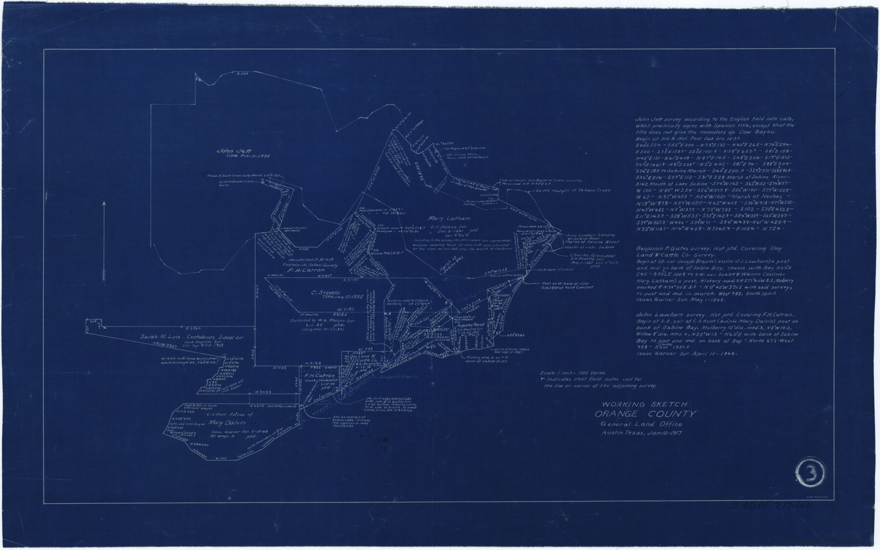
Orange County Working Sketch 3
-
Map/Doc
71335
-
Collection
General Map Collection
-
Object Dates
1/10/1917 (Creation Date)
-
People and Organizations
J.W. Pritchett (Draftsman)
-
Counties
Orange
-
Subjects
Surveying Working Sketch
-
Height x Width
12.7 x 20.3 inches
32.3 x 51.6 cm
-
Scale
1" = 1000 varas
Part of: General Map Collection
Presidio County Sketch File E

Print $20.00
- Digital $50.00
Presidio County Sketch File E
Size 15.9 x 20.0 inches
Map/Doc 11702
Kerr County Boundary File 4a

Print $16.00
- Digital $50.00
Kerr County Boundary File 4a
Size 6.1 x 8.2 inches
Map/Doc 64801
Flight Mission No. BRA-8M, Frame 85, Jefferson County

Print $20.00
- Digital $50.00
Flight Mission No. BRA-8M, Frame 85, Jefferson County
1953
Size 18.7 x 22.3 inches
Map/Doc 85605

Texas-Oklahoma Boundary Line: brief summary of the lands surveyed and the lands not surveyed in the dispute between Oklahoma vs. Texas

Print $356.00
- Digital $50.00
Texas-Oklahoma Boundary Line: brief summary of the lands surveyed and the lands not surveyed in the dispute between Oklahoma vs. Texas
1923
Size 6.0 x 9.2 inches
Map/Doc 3061
Flight Mission No. CRK-3P, Frame 64, Refugio County

Print $20.00
- Digital $50.00
Flight Mission No. CRK-3P, Frame 64, Refugio County
1956
Size 18.7 x 22.5 inches
Map/Doc 86906
Fort Bend County Sketch File 9a

Print $15.00
- Digital $50.00
Fort Bend County Sketch File 9a
Size 14.6 x 8.9 inches
Map/Doc 22897
Houston County Sketch File 37

Print $6.00
- Digital $50.00
Houston County Sketch File 37
1846
Size 12.8 x 7.8 inches
Map/Doc 26819
King County Working Sketch 17

Print $40.00
- Digital $50.00
King County Working Sketch 17
1979
Size 32.2 x 59.3 inches
Map/Doc 70181
East Part of Jeff Davis Co.

Print $20.00
- Digital $50.00
East Part of Jeff Davis Co.
1977
Size 47.9 x 36.9 inches
Map/Doc 95544
Baylor County Boundary File 16

Print $2.00
- Digital $50.00
Baylor County Boundary File 16
Size 11.2 x 8.7 inches
Map/Doc 50433
Bastrop County Sketch File 5

Print $4.00
- Digital $50.00
Bastrop County Sketch File 5
Size 8.1 x 10.2 inches
Map/Doc 14048
You may also like
Rockwall County Boundary File 4a

Print $10.00
- Digital $50.00
Rockwall County Boundary File 4a
Size 11.2 x 8.8 inches
Map/Doc 58399
Rusk County Working Sketch 12

Print $20.00
- Digital $50.00
Rusk County Working Sketch 12
1979
Size 17.0 x 15.8 inches
Map/Doc 63647

Jasper County Working Sketch 32

Print $20.00
- Digital $50.00
Jasper County Working Sketch 32
1993
Size 18.7 x 22.7 inches
Map/Doc 66494
Wharton County Working Sketch 13

Print $20.00
- Digital $50.00
Wharton County Working Sketch 13
1968
Size 38.5 x 36.3 inches
Map/Doc 72477
Amistad International Reservoir on Rio Grande 93

Print $20.00
- Digital $50.00
Amistad International Reservoir on Rio Grande 93
1950
Size 28.5 x 40.7 inches
Map/Doc 75523
League 206 Ochiltree County School Land

Print $20.00
- Digital $50.00
League 206 Ochiltree County School Land
Size 19.6 x 23.9 inches
Map/Doc 92479
Flight Mission No. CRC-4R, Frame 149, Chambers County

Print $20.00
- Digital $50.00
Flight Mission No. CRC-4R, Frame 149, Chambers County
1956
Size 18.7 x 22.4 inches
Map/Doc 84912
Potter County Boundary File 1a

Print $10.00
- Digital $50.00
Potter County Boundary File 1a
Size 14.1 x 8.8 inches
Map/Doc 57943
Dallas County Boundary File 5a

Print $4.00
- Digital $50.00
Dallas County Boundary File 5a
Size 4.9 x 8.6 inches
Map/Doc 52182
Knox County Working Sketch 11

Print $20.00
- Digital $50.00
Knox County Working Sketch 11
1950
Size 16.8 x 29.0 inches
Map/Doc 70253
Irion County Sketch File 12

Print $40.00
- Digital $50.00
Irion County Sketch File 12
1939
Size 15.3 x 12.4 inches
Map/Doc 27482