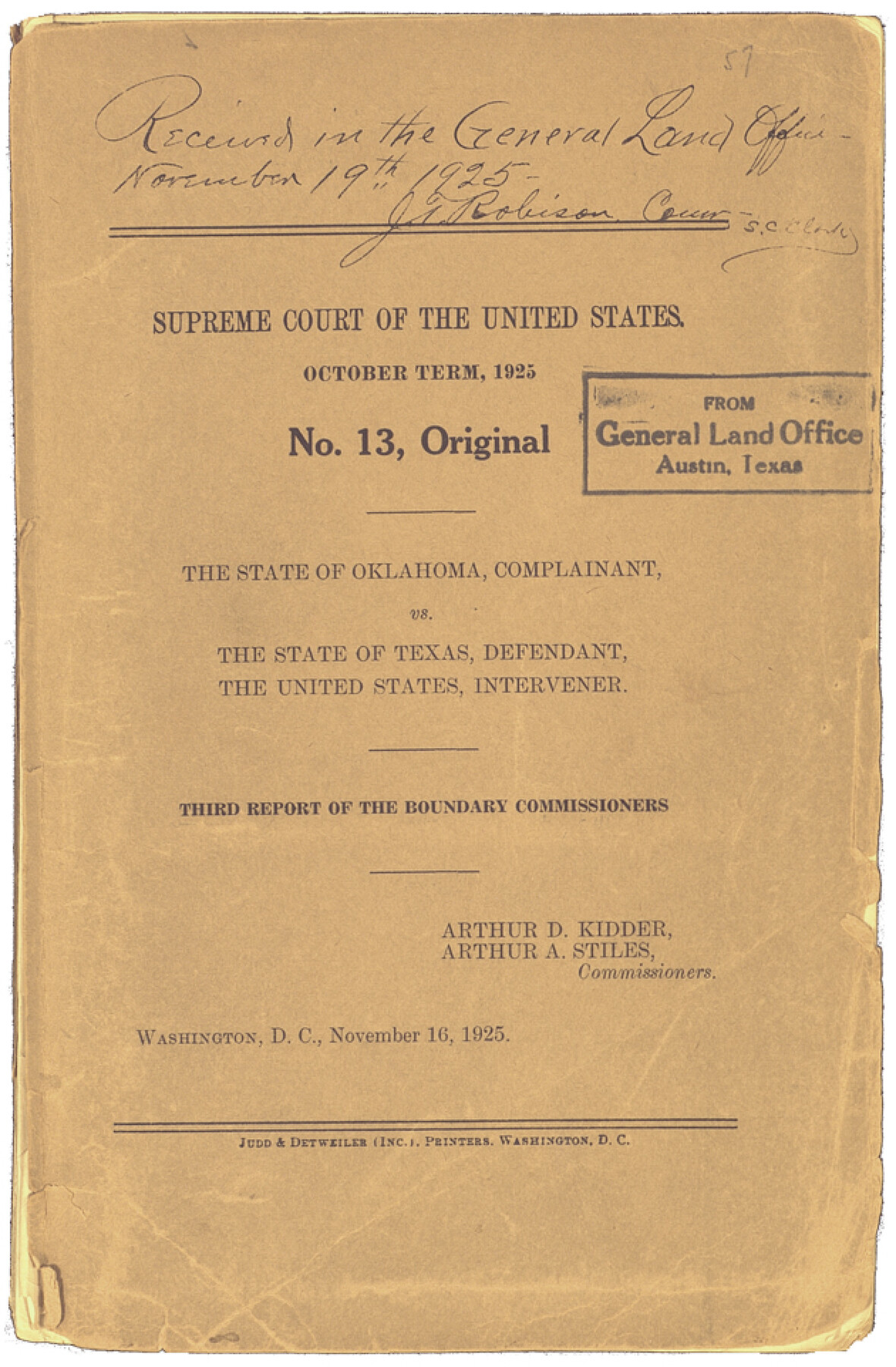
Texas-Oklahoma Boundary Line: brief summary of the lands surveyed and the lands not surveyed in the dispute between Oklahoma vs. Texas
-
Map/Doc
3061
-
Collection
General Map Collection
-
Object Dates
1923 (Creation Date)
1925
-
People and Organizations
Supreme Court of the United States (Publisher)
Judd and Detweiler (Printer)
Arthur D. Kidder (Author)
Arthur A. Stiles (Author)
-
Subjects
Texas Boundaries
-
Height x Width
6.0 x 9.2 inches
15.2 x 23.4 cm
Part of: General Map Collection
Jefferson County Rolled Sketch 57

Print $20.00
- Digital $50.00
Jefferson County Rolled Sketch 57
1883
Size 25.9 x 18.6 inches
Map/Doc 6407
Trinity County Boundary File 88

Print $42.00
- Digital $50.00
Trinity County Boundary File 88
Size 9.2 x 4.1 inches
Map/Doc 59475
Edwards County Boundary File 2

Print $28.00
- Digital $50.00
Edwards County Boundary File 2
Size 11.2 x 8.6 inches
Map/Doc 52862
San Saba County Sketch File 14a

Print $14.00
- Digital $50.00
San Saba County Sketch File 14a
1891
Size 14.5 x 8.8 inches
Map/Doc 36441
Flight Mission No. BRA-8M, Frame 80, Jefferson County

Print $20.00
- Digital $50.00
Flight Mission No. BRA-8M, Frame 80, Jefferson County
1953
Size 15.9 x 15.6 inches
Map/Doc 85600

San Patricio County Rolled Sketch 38A

Print $20.00
- Digital $50.00
San Patricio County Rolled Sketch 38A
1958
Size 26.6 x 23.5 inches
Map/Doc 7589
Sketch of Surveys on Caranchua and Tres Palacious Bayous, Jackson Co.

Print $2.00
- Digital $50.00
Sketch of Surveys on Caranchua and Tres Palacious Bayous, Jackson Co.
Size 7.9 x 7.8 inches
Map/Doc 69743
Harrison County Working Sketch 25

Print $20.00
- Digital $50.00
Harrison County Working Sketch 25
1983
Size 21.9 x 24.0 inches
Map/Doc 66045
Erath County Sketch File 3

Print $4.00
- Digital $50.00
Erath County Sketch File 3
1853
Size 13.0 x 8.3 inches
Map/Doc 22255
Bee County Sketch File X

Print $6.00
- Digital $50.00
Bee County Sketch File X
Size 11.5 x 11.0 inches
Map/Doc 14243
Hood County Rolled Sketch 5

Print $20.00
- Digital $50.00
Hood County Rolled Sketch 5
1980
Size 29.9 x 32.2 inches
Map/Doc 6221
You may also like
Flight Mission No. BRA-16M, Frame 62, Jefferson County

Print $20.00
- Digital $50.00
Flight Mission No. BRA-16M, Frame 62, Jefferson County
1953
Size 18.7 x 22.4 inches
Map/Doc 85679
Runnels County Rolled Sketch 34

Print $20.00
- Digital $50.00
Runnels County Rolled Sketch 34
Size 30.1 x 35.1 inches
Map/Doc 7522
Aransas County Rolled Sketch 1

Print $40.00
- Digital $50.00
Aransas County Rolled Sketch 1
1930
Size 54.3 x 17.0 inches
Map/Doc 8914
Presidio County Working Sketch 105

Print $20.00
- Digital $50.00
Presidio County Working Sketch 105
1980
Size 27.5 x 27.5 inches
Map/Doc 71782
Gulf Intracoastal Waterway, Tex. - Aransas Bay to Corpus Christi Bay - Modified Route of Main Channel/Dredging

Print $20.00
- Digital $50.00
Gulf Intracoastal Waterway, Tex. - Aransas Bay to Corpus Christi Bay - Modified Route of Main Channel/Dredging
1958
Size 31.0 x 42.8 inches
Map/Doc 61893
Padre Island National Seashore

Print $4.00
- Digital $50.00
Padre Island National Seashore
Size 16.0 x 21.8 inches
Map/Doc 60527

[Public School Land Blocks B1 and B7]
![91974, [Public School Land Blocks B1 and B7], Twichell Survey Records](https://historictexasmaps.com/wmedia_w700/maps/91974-1.tif.jpg)
Print $20.00
- Digital $50.00
[Public School Land Blocks B1 and B7]
Size 22.9 x 14.8 inches
Map/Doc 91974
Bailey County Working Sketch 3

Print $20.00
- Digital $50.00
Bailey County Working Sketch 3
1922
Size 17.3 x 28.0 inches
Map/Doc 67590
Texas City Channel, Texas, Channel and Turning Basin Dredging - Sheet 2

Print $20.00
- Digital $50.00
Texas City Channel, Texas, Channel and Turning Basin Dredging - Sheet 2
1958
Size 28.6 x 41.0 inches
Map/Doc 61832
Harris County Historic Topographic 29

Print $20.00
- Digital $50.00
Harris County Historic Topographic 29
1915
Size 29.1 x 23.0 inches
Map/Doc 65840
