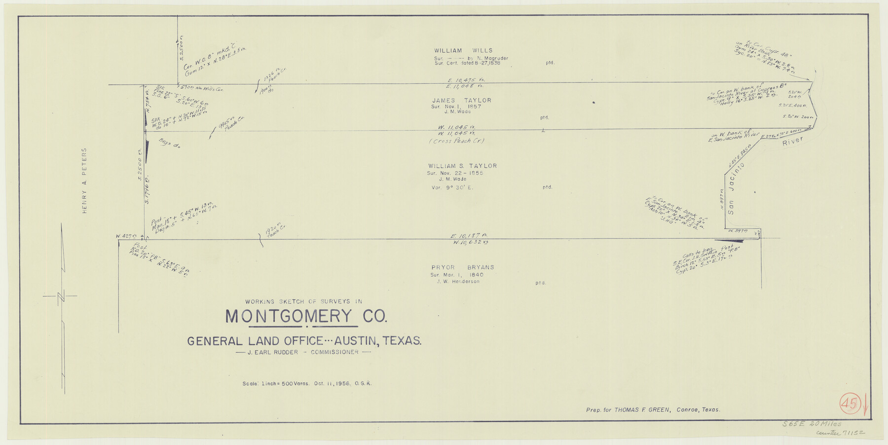
Montgomery County Working Sketch 45
-
Map/Doc
71152
-
Collection
General Map Collection
-
Object Dates
10/11/1956 (Creation Date)
-
People and Organizations
Otto G. Kurio (Draftsman)
-
Counties
Montgomery
-
Subjects
Surveying Working Sketch
-
Height x Width
14.8 x 29.5 inches
37.6 x 74.9 cm
-
Scale
1" = 500 varas
Part of: General Map Collection
Right of Way and Track Map, International & Gt. Northern Ry. Operated by the International & Gt. Northern Ry. Co., Gulf Division

Print $40.00
- Digital $50.00
Right of Way and Track Map, International & Gt. Northern Ry. Operated by the International & Gt. Northern Ry. Co., Gulf Division
1917
Size 25.1 x 56.6 inches
Map/Doc 64252
Trinity County Sketch File 43

Print $40.00
- Digital $50.00
Trinity County Sketch File 43
1854
Size 19.2 x 23.6 inches
Map/Doc 12495
San Augustine County Working Sketch 13

Print $20.00
- Digital $50.00
San Augustine County Working Sketch 13
1952
Size 34.0 x 27.6 inches
Map/Doc 63701
Newton County Working Sketch 8

Print $20.00
- Digital $50.00
Newton County Working Sketch 8
1937
Size 23.2 x 18.5 inches
Map/Doc 71254
Nueces County Sketch File 74

Print $28.00
- Digital $50.00
Nueces County Sketch File 74
1951
Size 10.1 x 15.4 inches
Map/Doc 33028
Moore County Working Sketch 4

Print $20.00
- Digital $50.00
Moore County Working Sketch 4
1911
Size 20.1 x 15.6 inches
Map/Doc 71186
Flight Mission No. BRA-9M, Frame 63, Jefferson County

Print $20.00
- Digital $50.00
Flight Mission No. BRA-9M, Frame 63, Jefferson County
1953
Size 18.6 x 22.4 inches
Map/Doc 85646
Val Verde County Sketch File 24

Print $20.00
- Digital $50.00
Val Verde County Sketch File 24
Size 22.5 x 34.3 inches
Map/Doc 76759
Galveston County Rolled Sketch 7

Print $20.00
- Digital $50.00
Galveston County Rolled Sketch 7
1897
Size 16.0 x 28.4 inches
Map/Doc 5950
Leon County Working Sketch 45

Print $20.00
- Digital $50.00
Leon County Working Sketch 45
1980
Size 45.4 x 37.4 inches
Map/Doc 70444
Brazoria County NRC Article 33.136 Sketch 18

Print $24.00
- Digital $50.00
Brazoria County NRC Article 33.136 Sketch 18
2015
Size 24.0 x 36.0 inches
Map/Doc 95066
Tom Green County Boundary File 2

Print $50.00
- Digital $50.00
Tom Green County Boundary File 2
Size 14.5 x 9.0 inches
Map/Doc 59335
You may also like
Flight Mission No. DQN-1K, Frame 83, Calhoun County

Print $20.00
- Digital $50.00
Flight Mission No. DQN-1K, Frame 83, Calhoun County
1953
Size 18.4 x 22.2 inches
Map/Doc 84168
Part of Garza, Crosby, Lynn, and Lubbock Counties

Print $20.00
- Digital $50.00
Part of Garza, Crosby, Lynn, and Lubbock Counties
1912
Size 25.3 x 20.0 inches
Map/Doc 91312
Wichita County Sketch File 29

Print $9.00
- Digital $50.00
Wichita County Sketch File 29
1930
Size 11.3 x 8.8 inches
Map/Doc 40132
Flight Mission No. DAH-9M, Frame 206, Orange County

Print $20.00
- Digital $50.00
Flight Mission No. DAH-9M, Frame 206, Orange County
1953
Size 18.7 x 22.7 inches
Map/Doc 86874
Reeves County Sketch File 25

Print $4.00
- Digital $50.00
Reeves County Sketch File 25
1873
Size 8.4 x 5.6 inches
Map/Doc 35224

Live Oak County Sketch File 28

Print $10.00
- Digital $50.00
Live Oak County Sketch File 28
1922
Size 14.3 x 8.5 inches
Map/Doc 30314
Parker County

Print $20.00
- Digital $50.00
Parker County
1942
Size 42.4 x 35.5 inches
Map/Doc 77391
[Surveys along State Line]
![91403, [Surveys along State Line], Twichell Survey Records](https://historictexasmaps.com/wmedia_w700/maps/91403-1.tif.jpg)
Print $3.00
- Digital $50.00
[Surveys along State Line]
Size 7.4 x 17.2 inches
Map/Doc 91403
Section 16, Block "A", Sylvan Sanders Survey

Print $20.00
- Digital $50.00
Section 16, Block "A", Sylvan Sanders Survey
1953
Size 24.7 x 16.0 inches
Map/Doc 92715
Midland County Boundary File 4

Print $18.00
- Digital $50.00
Midland County Boundary File 4
Size 8.8 x 8.0 inches
Map/Doc 57176
Preliminary Chart No. 31 of the Sea Coast of the United States from Galveston Bay to Matagorda Bay, Texas

Print $20.00
Preliminary Chart No. 31 of the Sea Coast of the United States from Galveston Bay to Matagorda Bay, Texas
1857
Size 21.6 x 37.2 inches
Map/Doc 76212