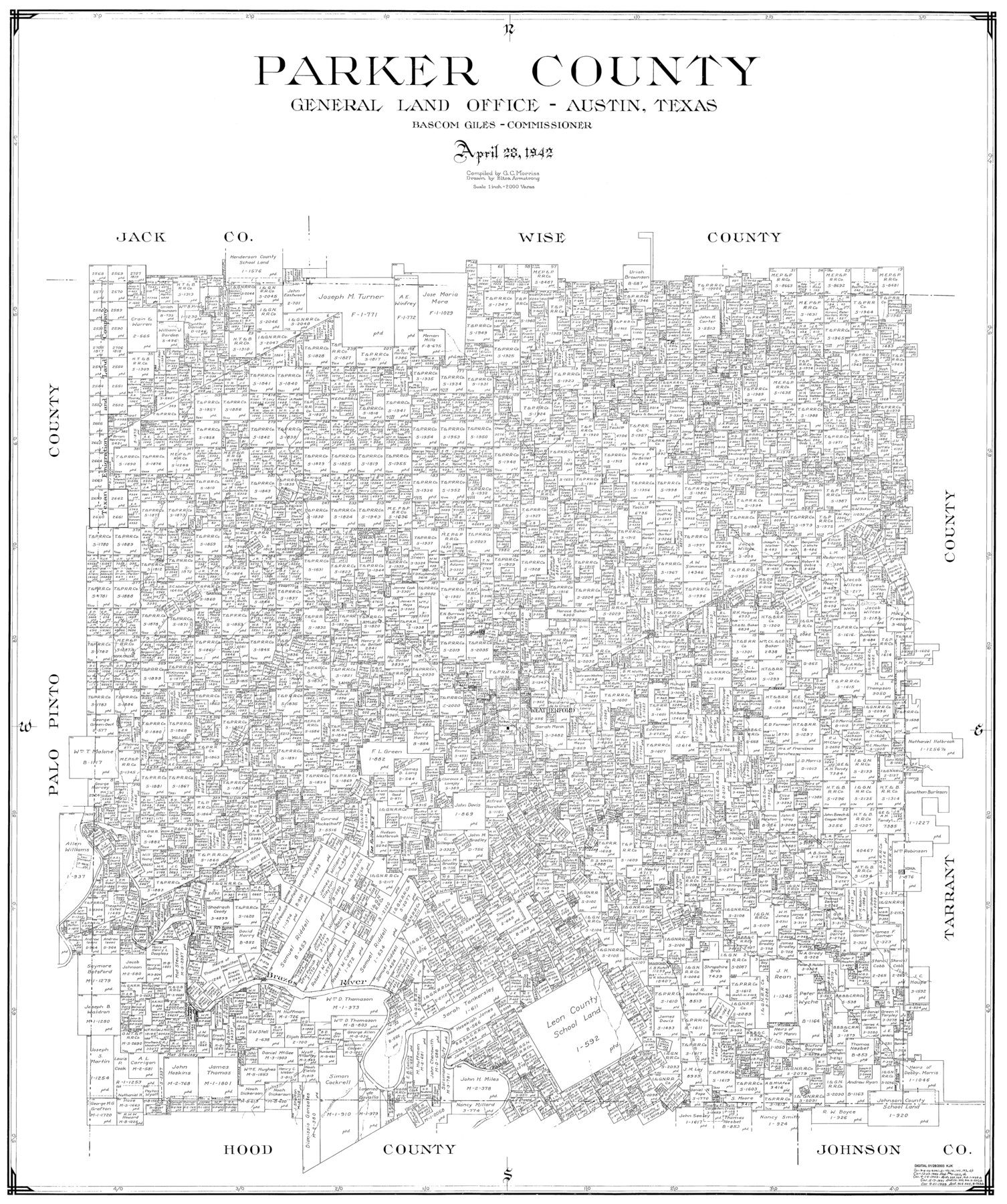
Parker County
-
Map/Doc
77391
-
Collection
General Map Collection
-
Object Dates
1942/4/28 (Creation Date)
-
People and Organizations
Eltea Armstrong (Draftsman)
G.C. Morriss (Compiler)
-
Counties
Parker
-
Subjects
County
-
Height x Width
42.4 x 35.5 inches
107.7 x 90.2 cm
Part of: General Map Collection
A Map of Part of Panola County [Judicial District]
![328, A Map of Part of Panola County [Judicial District], General Map Collection](https://historictexasmaps.com/wmedia_w700/maps/328.tif.jpg)
Print $20.00
- Digital $50.00
A Map of Part of Panola County [Judicial District]
1841
Size 18.3 x 15.4 inches
Map/Doc 328
Spanish North America

Print $20.00
- Digital $50.00
Spanish North America
1814
Size 21.9 x 29.8 inches
Map/Doc 89224
Childress County Working Sketch Graphic Index

Print $20.00
- Digital $50.00
Childress County Working Sketch Graphic Index
1978
Size 45.5 x 34.3 inches
Map/Doc 76493
Dawson County

Print $20.00
- Digital $50.00
Dawson County
1959
Size 43.1 x 35.1 inches
Map/Doc 95476
Sketch D Showing the progress of Section IV 1845 to 1852

Print $20.00
- Digital $50.00
Sketch D Showing the progress of Section IV 1845 to 1852
1852
Size 22.8 x 13.0 inches
Map/Doc 97208
Erath County Working Sketch 38

Print $20.00
- Digital $50.00
Erath County Working Sketch 38
1974
Size 22.1 x 31.7 inches
Map/Doc 69119
Winkler County Working Sketch 16

Print $20.00
- Digital $50.00
Winkler County Working Sketch 16
1964
Size 27.7 x 35.8 inches
Map/Doc 72610
Fractional Township No. 8 South Range No. 23 East of the Indian Meridian, Indian Territory

Print $20.00
- Digital $50.00
Fractional Township No. 8 South Range No. 23 East of the Indian Meridian, Indian Territory
1898
Size 19.1 x 24.3 inches
Map/Doc 75249
Uvalde County Working Sketch 13

Print $20.00
- Digital $50.00
Uvalde County Working Sketch 13
1943
Size 27.9 x 21.6 inches
Map/Doc 72083
Freestone County Working Sketch 6

Print $40.00
- Digital $50.00
Freestone County Working Sketch 6
1921
Size 38.3 x 60.0 inches
Map/Doc 69248
Leon River, Magnum Sheet/South Fork Leon River

Print $6.00
- Digital $50.00
Leon River, Magnum Sheet/South Fork Leon River
1937
Size 30.5 x 34.8 inches
Map/Doc 65068
Reeves County Sketch File 1a

Print $34.00
- Digital $50.00
Reeves County Sketch File 1a
Size 8.7 x 7.3 inches
Map/Doc 35181
You may also like
Brewster County Rolled Sketch 93

Print $20.00
- Digital $50.00
Brewster County Rolled Sketch 93
1935
Size 24.1 x 43.1 inches
Map/Doc 5251
Collingsworth County Sketch File 10

Print $4.00
- Digital $50.00
Collingsworth County Sketch File 10
1892
Size 11.3 x 9.0 inches
Map/Doc 18891
Montague County Sketch File 6

Print $4.00
- Digital $50.00
Montague County Sketch File 6
1856
Size 8.0 x 8.4 inches
Map/Doc 31717
Brooks County Working Sketch 6

Print $20.00
- Digital $50.00
Brooks County Working Sketch 6
1917
Size 28.6 x 15.7 inches
Map/Doc 67790
Trinity River, Bulletin 30C/Richland Creek

Print $6.00
- Digital $50.00
Trinity River, Bulletin 30C/Richland Creek
1937
Size 11.7 x 31.8 inches
Map/Doc 65245
Montague County Working Sketch 5

Print $20.00
- Digital $50.00
Montague County Working Sketch 5
1920
Size 24.9 x 20.9 inches
Map/Doc 71071
Cameron County Boundary File 5

Print $8.00
- Digital $50.00
Cameron County Boundary File 5
Size 8.8 x 15.3 inches
Map/Doc 51113
Harris County Sketch File 53

Print $20.00
- Digital $50.00
Harris County Sketch File 53
1914
Size 15.9 x 12.0 inches
Map/Doc 11654

Harris County Working Sketch 116

Print $20.00
- Digital $50.00
Harris County Working Sketch 116
1983
Size 24.2 x 23.3 inches
Map/Doc 66008
Montgomery County Sketch File 2a

Print $4.00
- Digital $50.00
Montgomery County Sketch File 2a
1849
Size 8.0 x 12.3 inches
Map/Doc 31768
Palo Pinto County

Print $40.00
- Digital $50.00
Palo Pinto County
1941
Size 48.3 x 39.4 inches
Map/Doc 66966