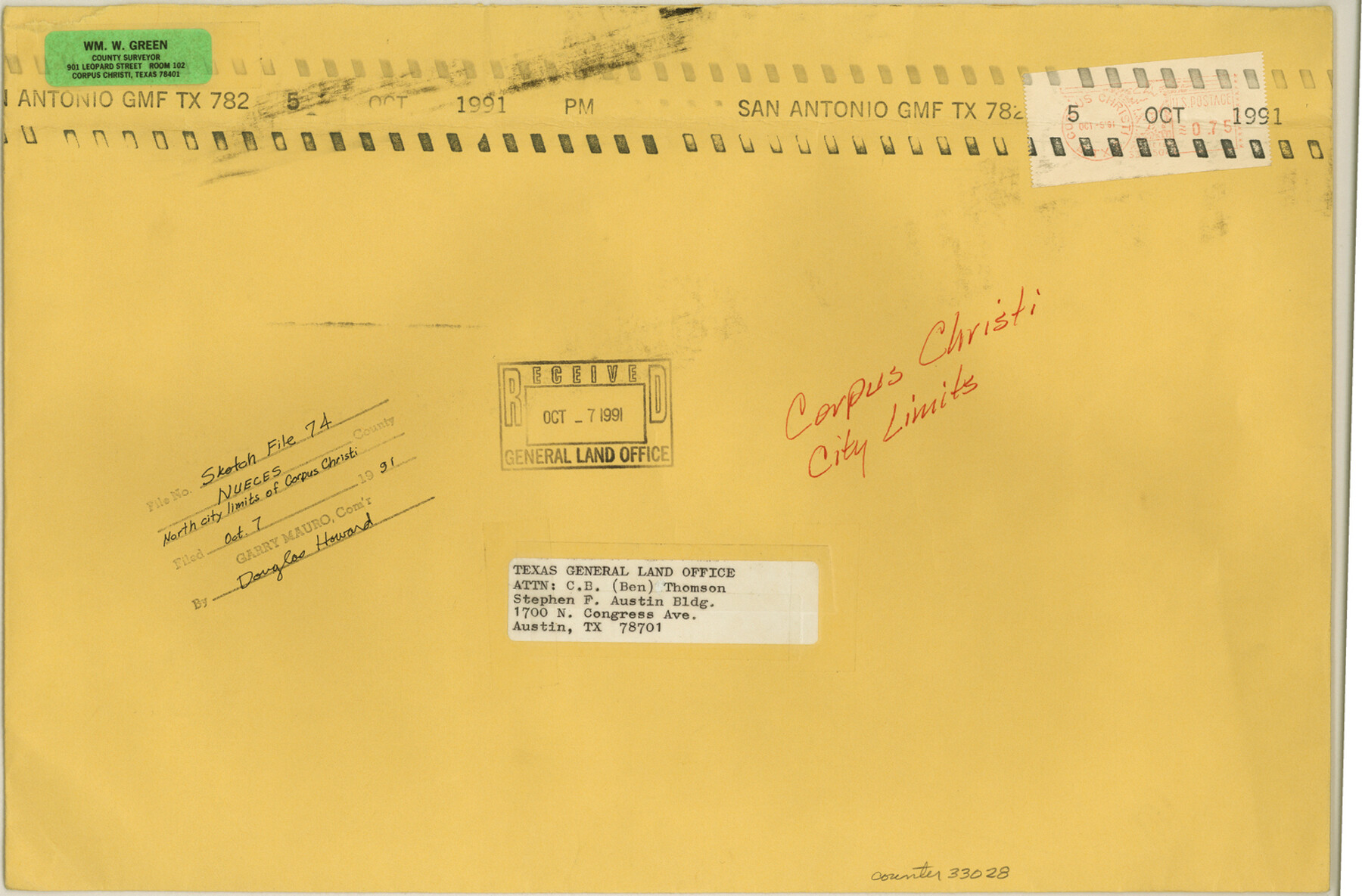
Nueces County Sketch File 74
[Photocopies of maps/plats showing north city limits of Corpus Christi]
-
Map/Doc
33028
-
Collection
General Map Collection
-
Object Dates
1951 (Creation Date)
10/7/1991 (File Date)
1938 (Creation Date)
-
People and Organizations
William W. Green (Surveyor/Engineer)
C.F.M. von Blucher (Surveyor/Engineer)
Blucher Engineering Company (Publisher)
-
Counties
Nueces
-
Subjects
Surveying Sketch File
-
Height x Width
10.1 x 15.4 inches
25.7 x 39.1 cm
-
Medium
photostat
-
Features
Ocean Drive
Rincon Street
Pleasure Pier
Municipal Wharf
Del Monte
Cole Park
Bessar Park
Harrison Street
Alta Vista
Menger School
Santa Fe Street
Booty Street
Alameda Street
Louisiana Street
North Beach School
Alta Vista Reef
Corpus Christi
Spann Hospital
Mesquite Street
Northside Jr. High
Staples Street
South Bluff Park
Cole School
Corpus Christi Bay
Southern Pacific Railroad Company
Corpus Christi Ship Channel
North Beach
Part of: General Map Collection
San Augustine County Working Sketch 13

Print $20.00
- Digital $50.00
San Augustine County Working Sketch 13
1952
Size 34.0 x 27.6 inches
Map/Doc 63701
Victoria County Sketch File 5

Print $4.00
- Digital $50.00
Victoria County Sketch File 5
1877
Size 14.5 x 8.8 inches
Map/Doc 39520
Carson County Sketch File 3

Print $32.00
- Digital $50.00
Carson County Sketch File 3
1888
Size 5.4 x 8.4 inches
Map/Doc 17335
Atascosa County Rolled Sketch 18

Print $20.00
- Digital $50.00
Atascosa County Rolled Sketch 18
1955
Size 17.6 x 23.9 inches
Map/Doc 5098
Capitol Land Reservation

Print $20.00
- Digital $50.00
Capitol Land Reservation
1880
Size 43.7 x 34.2 inches
Map/Doc 10745
Plot of surveys on Sims Bayou

Print $2.00
- Digital $50.00
Plot of surveys on Sims Bayou
1844
Size 6.8 x 8.3 inches
Map/Doc 26
Flight Mission No. BQY-4M, Frame 35, Harris County

Print $20.00
- Digital $50.00
Flight Mission No. BQY-4M, Frame 35, Harris County
1953
Size 18.7 x 22.5 inches
Map/Doc 85250
Falls County Sketch File 26

Print $7.00
- Digital $50.00
Falls County Sketch File 26
1876
Size 10.1 x 8.2 inches
Map/Doc 22433
Winkler County

Print $20.00
- Digital $50.00
Winkler County
1932
Size 40.3 x 40.1 inches
Map/Doc 77462
Brazos River, Brazos River Sheet 3

Print $6.00
- Digital $50.00
Brazos River, Brazos River Sheet 3
1926
Size 23.6 x 35.2 inches
Map/Doc 65295
Comal County Sketch File 18

Print $4.00
- Digital $50.00
Comal County Sketch File 18
Size 6.7 x 13.0 inches
Map/Doc 19037
Bell County Working Sketch 15

Print $20.00
- Digital $50.00
Bell County Working Sketch 15
1979
Size 15.7 x 16.2 inches
Map/Doc 67355
You may also like
Jefferson County Sketch File 26a

Print $20.00
- Digital $50.00
Jefferson County Sketch File 26a
Size 19.5 x 11.6 inches
Map/Doc 11872
General Highway Map, Dallam County, Hartley County, Texas

Print $20.00
General Highway Map, Dallam County, Hartley County, Texas
1940
Size 18.3 x 25.1 inches
Map/Doc 79065

Dawson County Rolled Sketch 11

Print $20.00
- Digital $50.00
Dawson County Rolled Sketch 11
1961
Size 21.5 x 26.1 inches
Map/Doc 5694
[Township 3 North, Block 33]
![91226, [Township 3 North, Block 33], Twichell Survey Records](https://historictexasmaps.com/wmedia_w700/maps/91226-1.tif.jpg)
Print $20.00
- Digital $50.00
[Township 3 North, Block 33]
Size 15.0 x 18.0 inches
Map/Doc 91226
[Surveys along the Cibolo, Balcones and Leon Creeks]
![37, [Surveys along the Cibolo, Balcones and Leon Creeks], General Map Collection](https://historictexasmaps.com/wmedia_w700/maps/37.tif.jpg)
Print $2.00
- Digital $50.00
[Surveys along the Cibolo, Balcones and Leon Creeks]
1841
Size 13.3 x 7.8 inches
Map/Doc 37
Parker County Working Sketch 11

Print $20.00
- Digital $50.00
Parker County Working Sketch 11
1969
Map/Doc 71461
Falls County Sketch File 28

Print $2.00
- Digital $50.00
Falls County Sketch File 28
Size 7.7 x 10.3 inches
Map/Doc 22438
Map of La Salle County

Print $20.00
- Digital $50.00
Map of La Salle County
1878
Size 29.8 x 24.8 inches
Map/Doc 3798
Crane County Sketch File 23a

Print $6.00
- Digital $50.00
Crane County Sketch File 23a
1931
Size 14.4 x 8.9 inches
Map/Doc 19593
Bell County Working Sketch 1

Print $20.00
- Digital $50.00
Bell County Working Sketch 1
1915
Size 20.7 x 13.2 inches
Map/Doc 67341
Navigation Maps of Gulf Intracoastal Waterway, Port Arthur to Brownsville, Texas

Print $4.00
- Digital $50.00
Navigation Maps of Gulf Intracoastal Waterway, Port Arthur to Brownsville, Texas
1951
Size 16.7 x 21.5 inches
Map/Doc 65441