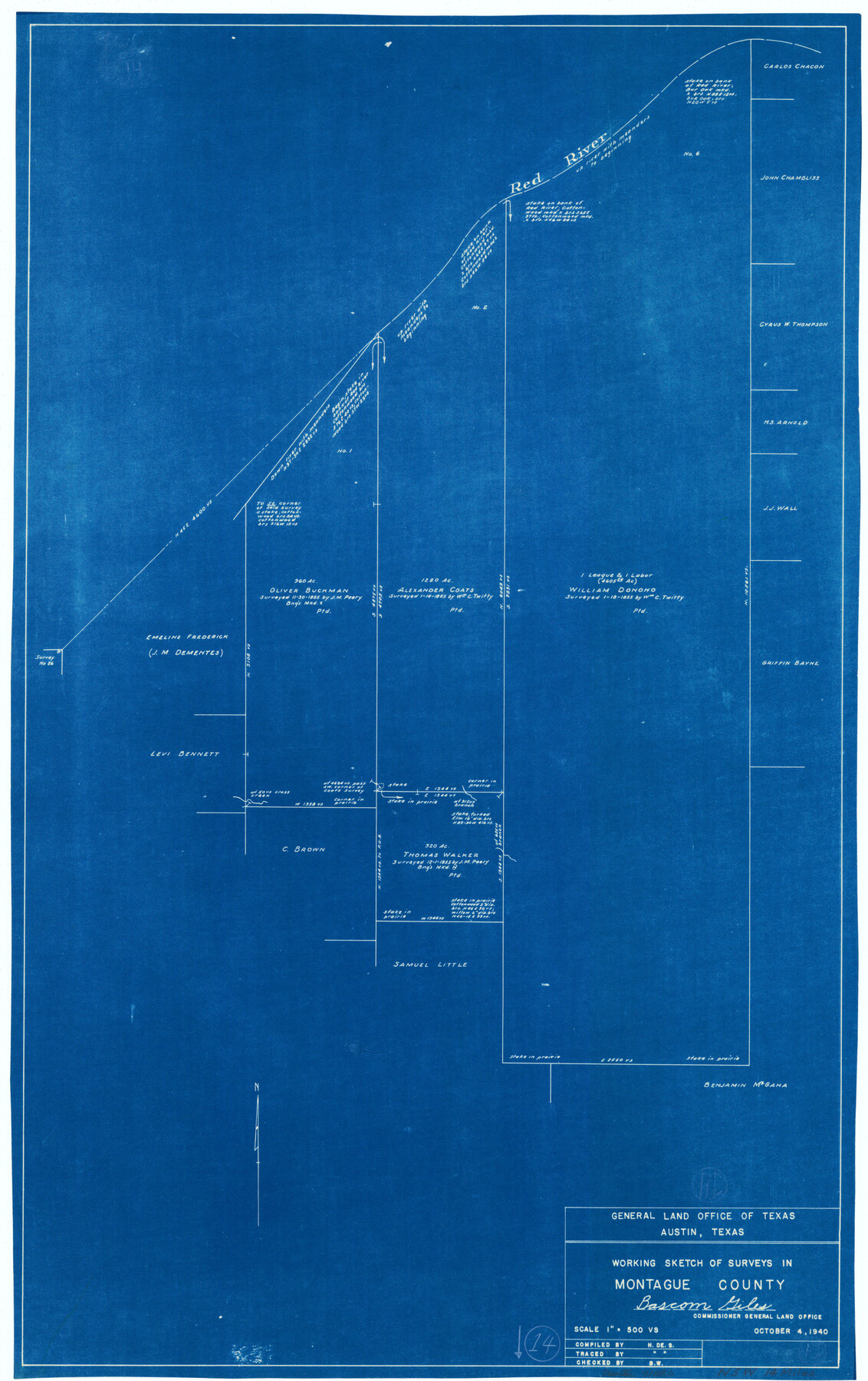
Montague County Working Sketch 14
-
Map/Doc
71080
-
Collection
General Map Collection
-
Object Dates
10/4/1940 (Creation Date)
-
People and Organizations
Herbert de Synek (Draftsman)
-
Counties
Montague
-
Subjects
Surveying Working Sketch
-
Height x Width
28.4 x 17.9 inches
72.1 x 45.5 cm
-
Scale
1" = 500 varas
Part of: General Map Collection
Ochiltree County Boundary File 1b

Print $16.00
- Digital $50.00
Ochiltree County Boundary File 1b
Size 8.6 x 8.4 inches
Map/Doc 57666
Val Verde County Sketch File Z5

Print $20.00
- Digital $50.00
Val Verde County Sketch File Z5
Size 32.3 x 26.1 inches
Map/Doc 12551
Real County Rolled Sketch 1

Print $20.00
- Digital $50.00
Real County Rolled Sketch 1
1941
Size 20.6 x 28.9 inches
Map/Doc 7452
Presidio County Rolled Sketch 131A

Print $3.00
- Digital $50.00
Presidio County Rolled Sketch 131A
Size 14.5 x 9.1 inches
Map/Doc 10709
Fractional Township No. 10 South Range No. 26 East of the Indian Meridian, Indian Territory

Print $20.00
- Digital $50.00
Fractional Township No. 10 South Range No. 26 East of the Indian Meridian, Indian Territory
1897
Size 19.2 x 24.3 inches
Map/Doc 75245
Jackson County Sketch File 16

Print $10.00
- Digital $50.00
Jackson County Sketch File 16
1913
Size 14.3 x 8.7 inches
Map/Doc 27668
Travis County Working Sketch 38

Print $20.00
- Digital $50.00
Travis County Working Sketch 38
1974
Size 17.5 x 34.8 inches
Map/Doc 69422
Webb County Rolled Sketch 48

Print $20.00
- Digital $50.00
Webb County Rolled Sketch 48
1943
Size 20.1 x 37.3 inches
Map/Doc 8204
Haskell County Sketch File 12

Print $20.00
- Digital $50.00
Haskell County Sketch File 12
1881
Size 18.8 x 23.6 inches
Map/Doc 11741
[Cotton Belt, St. Louis Southwestern Railway of Texas, Alignment through Smith County]
![64375, [Cotton Belt, St. Louis Southwestern Railway of Texas, Alignment through Smith County], General Map Collection](https://historictexasmaps.com/wmedia_w700/maps/64375.tif.jpg)
Print $20.00
- Digital $50.00
[Cotton Belt, St. Louis Southwestern Railway of Texas, Alignment through Smith County]
1903
Size 21.3 x 28.5 inches
Map/Doc 64375
Maps of Gulf Intracoastal Waterway, Texas - Sabine River to the Rio Grande and connecting waterways including ship channels

Print $20.00
- Digital $50.00
Maps of Gulf Intracoastal Waterway, Texas - Sabine River to the Rio Grande and connecting waterways including ship channels
1966
Size 15.7 x 22.0 inches
Map/Doc 61983
Foard County Working Sketch 15

Print $40.00
- Digital $50.00
Foard County Working Sketch 15
1982
Size 43.7 x 76.0 inches
Map/Doc 69206
You may also like
Gulf Intracoastal Waterway, Tex. - Aransas Bay to Corpus Christi Bay - Modified Route of Main Channel/Dredging

Print $20.00
- Digital $50.00
Gulf Intracoastal Waterway, Tex. - Aransas Bay to Corpus Christi Bay - Modified Route of Main Channel/Dredging
1958
Size 31.3 x 42.8 inches
Map/Doc 61899
Acreage in Texas by Counties

Print $20.00
- Digital $50.00
Acreage in Texas by Counties
Size 19.3 x 20.0 inches
Map/Doc 62974
Armstrong County Working Sketch 6

Print $20.00
- Digital $50.00
Armstrong County Working Sketch 6
1929
Size 24.3 x 19.4 inches
Map/Doc 67237

Plan C, Part 2nd Shewing that portion of the meridian boundary between Texas and the United States, included between the 36th mile mound and the 72nd north of Sabine River

Print $20.00
- Digital $50.00
Plan C, Part 2nd Shewing that portion of the meridian boundary between Texas and the United States, included between the 36th mile mound and the 72nd north of Sabine River
1842
Size 19.4 x 27.6 inches
Map/Doc 65413
Brewster County Sketch File 14

Print $26.00
- Digital $50.00
Brewster County Sketch File 14
Size 11.2 x 8.8 inches
Map/Doc 15746
Polk County Working Sketch 13

Print $20.00
- Digital $50.00
Polk County Working Sketch 13
1942
Size 17.1 x 20.6 inches
Map/Doc 71628
Knox County Boundary File 1

Print $24.00
- Digital $50.00
Knox County Boundary File 1
Size 14.2 x 8.6 inches
Map/Doc 64998
North America, as divided amongst the European Powers

Print $20.00
- Digital $50.00
North America, as divided amongst the European Powers
1774
Size 14.1 x 18.7 inches
Map/Doc 97399
Red River County Working Sketch 32

Print $20.00
- Digital $50.00
Red River County Working Sketch 32
1962
Size 27.6 x 20.0 inches
Map/Doc 72015
Map Showing the Relative Positions of the Various Surveys Delineated Thereon

Print $20.00
- Digital $50.00
Map Showing the Relative Positions of the Various Surveys Delineated Thereon
Size 23.0 x 18.6 inches
Map/Doc 91500
Flight Mission No. DCL-6C, Frame 174, Kenedy County

Print $20.00
- Digital $50.00
Flight Mission No. DCL-6C, Frame 174, Kenedy County
1943
Size 18.7 x 22.3 inches
Map/Doc 85986