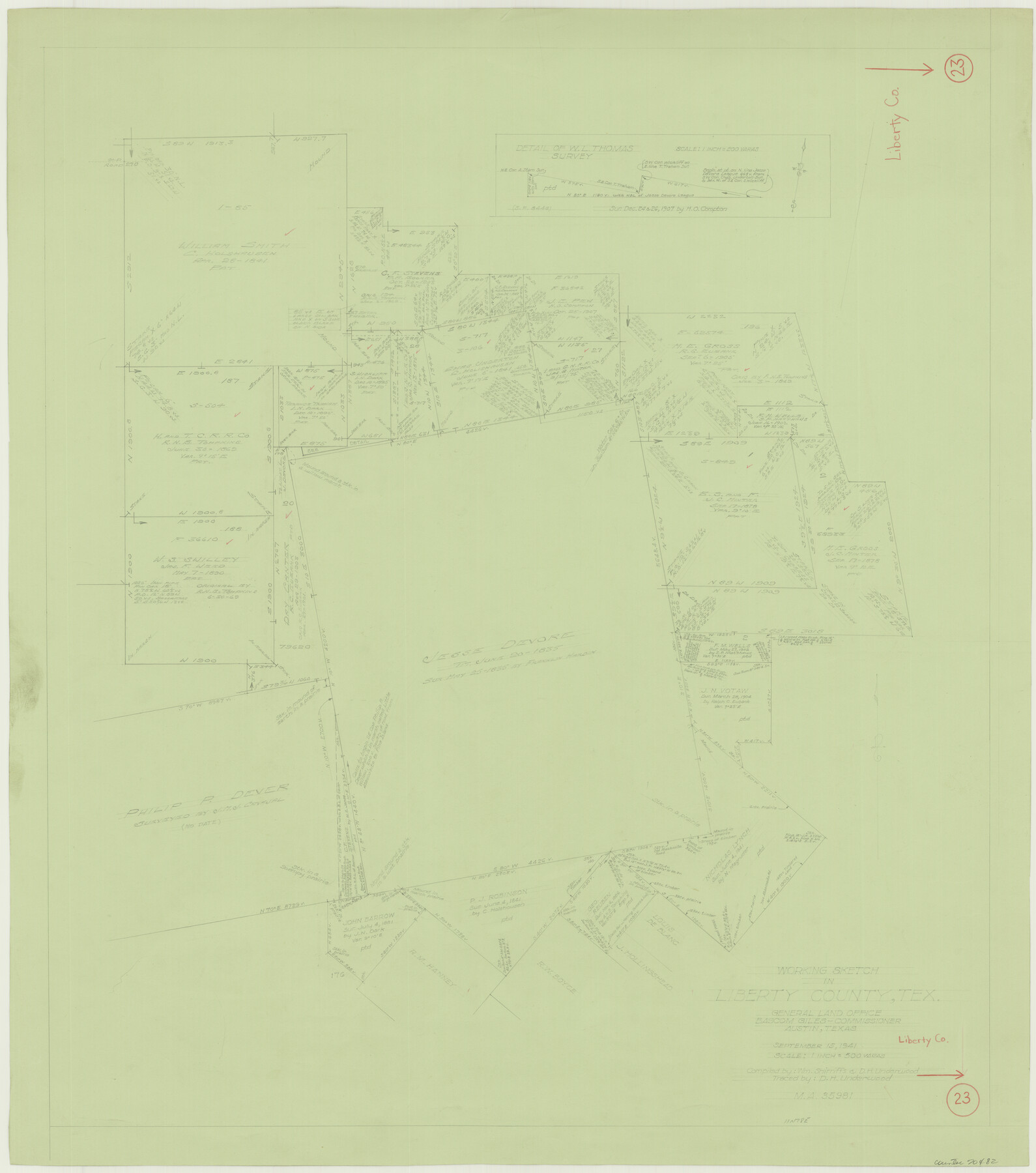
Liberty County Working Sketch 23
-
Map/Doc
70482
-
Collection
General Map Collection
-
Object Dates
9/15/1941 (Creation Date)
-
People and Organizations
William Shirriffs (Compiler)
D.H. Underwood (Draftsman)
-
Counties
Liberty
-
Subjects
Surveying Working Sketch
-
Height x Width
29.9 x 26.4 inches
76.0 x 67.1 cm
-
Scale
1" = 500 varas
Part of: General Map Collection
Brazoria County Rolled Sketch 47

Print $20.00
- Digital $50.00
Brazoria County Rolled Sketch 47
1951
Size 17.4 x 22.6 inches
Map/Doc 5180
Jasper County Working Sketch 7

Print $20.00
- Digital $50.00
Jasper County Working Sketch 7
1914
Size 24.2 x 26.3 inches
Map/Doc 66469
Webb County Working Sketch 60

Print $20.00
- Digital $50.00
Webb County Working Sketch 60
1960
Size 43.3 x 47.8 inches
Map/Doc 72426
Flight Mission No. BRA-6M, Frame 80, Jefferson County

Print $20.00
- Digital $50.00
Flight Mission No. BRA-6M, Frame 80, Jefferson County
1953
Size 18.6 x 22.3 inches
Map/Doc 85424
Angelina County Sketch File 1

Print $40.00
- Digital $50.00
Angelina County Sketch File 1
1848
Size 14.9 x 12.7 inches
Map/Doc 12919
Flight Mission No. DIX-8P, Frame 64, Aransas County

Print $20.00
- Digital $50.00
Flight Mission No. DIX-8P, Frame 64, Aransas County
1956
Size 18.7 x 22.4 inches
Map/Doc 83895
[Sketch for Mineral Application 17237 / Mineral File 11855 - Neches River, Joe A. Sanders]
![65686, [Sketch for Mineral Application 17237 / Mineral File 11855 - Neches River, Joe A. Sanders], General Map Collection](https://historictexasmaps.com/wmedia_w700/maps/65686.tif.jpg)
Print $40.00
- Digital $50.00
[Sketch for Mineral Application 17237 / Mineral File 11855 - Neches River, Joe A. Sanders]
1927
Size 78.2 x 30.7 inches
Map/Doc 65686
Flight Mission No. DCL-7C, Frame 14, Kenedy County

Print $20.00
- Digital $50.00
Flight Mission No. DCL-7C, Frame 14, Kenedy County
1943
Size 15.3 x 15.2 inches
Map/Doc 86006
Reagan County Sketch File 12

Print $20.00
- Digital $50.00
Reagan County Sketch File 12
1928
Size 23.2 x 18.3 inches
Map/Doc 12218
Flight Mission No. CRC-3R, Frame 49, Chambers County

Print $20.00
- Digital $50.00
Flight Mission No. CRC-3R, Frame 49, Chambers County
1956
Size 18.6 x 22.3 inches
Map/Doc 84822
San Saba County Sketch File 1

Print $46.00
- Digital $50.00
San Saba County Sketch File 1
1854
Size 9.1 x 7.8 inches
Map/Doc 36400
Hardeman County Rolled Sketch 14

Print $40.00
- Digital $50.00
Hardeman County Rolled Sketch 14
1884
Size 23.9 x 59.2 inches
Map/Doc 9099
You may also like
Lynn County Rolled Sketch 5

Print $20.00
- Digital $50.00
Lynn County Rolled Sketch 5
1912
Size 17.1 x 26.4 inches
Map/Doc 6645
[H. & T. C. RR. Company, Block 47, Sections 20- 28]
![91249, [H. & T. C. RR. Company, Block 47, Sections 20- 28], Twichell Survey Records](https://historictexasmaps.com/wmedia_w700/maps/91249-1.tif.jpg)
Print $20.00
- Digital $50.00
[H. & T. C. RR. Company, Block 47, Sections 20- 28]
Size 16.1 x 13.7 inches
Map/Doc 91249
Wilbarger County Working Sketch 8

Print $20.00
- Digital $50.00
Wilbarger County Working Sketch 8
1948
Size 31.8 x 38.2 inches
Map/Doc 72546
[Pecos and Northern Texas Ry., Bailey Co., from Parmer Co. line through Lariat and Muleshoe to Lamb Co. line]
![64636, [Pecos and Northern Texas Ry., Bailey Co., from Parmer Co. line through Lariat and Muleshoe to Lamb Co. line], General Map Collection](https://historictexasmaps.com/wmedia_w700/maps/64636.tif.jpg)
Print $40.00
- Digital $50.00
[Pecos and Northern Texas Ry., Bailey Co., from Parmer Co. line through Lariat and Muleshoe to Lamb Co. line]
1912
Size 20.3 x 121.9 inches
Map/Doc 64636
Milam County Sketch File 7

Print $6.00
- Digital $50.00
Milam County Sketch File 7
1838
Size 13.0 x 8.0 inches
Map/Doc 31636
Panola County Working Sketch 17

Print $40.00
- Digital $50.00
Panola County Working Sketch 17
1945
Map/Doc 71426

The Rand-McNally New Commercial Atlas Map of Texas

Print $20.00
- Digital $50.00
The Rand-McNally New Commercial Atlas Map of Texas
Size 29.5 x 40.3 inches
Map/Doc 93993
[Section 2, Block S]
![92860, [Section 2, Block S], Twichell Survey Records](https://historictexasmaps.com/wmedia_w700/maps/92860-1.tif.jpg)
Print $20.00
- Digital $50.00
[Section 2, Block S]
1958
Size 22.2 x 6.8 inches
Map/Doc 92860
Presidio County Rolled Sketch 4

Print $40.00
- Digital $50.00
Presidio County Rolled Sketch 4
Size 19.1 x 69.8 inches
Map/Doc 10733
Cooke County Working Sketch 32

Print $20.00
- Digital $50.00
Cooke County Working Sketch 32
1982
Size 19.0 x 14.8 inches
Map/Doc 68269
Flight Mission No. DQO-14T, Frame 66, Galveston County

Print $20.00
- Digital $50.00
Flight Mission No. DQO-14T, Frame 66, Galveston County
1958
Size 17.6 x 17.4 inches
Map/Doc 85217