![92860, [Section 2, Block S], Twichell Survey Records](https://historictexasmaps.com/wmedia_w1800h1800/maps/92860-1.tif.jpg)
[Section 2, Block S]
-
Map/Doc
92860
-
Collection
Twichell Survey Records
-
Object Dates
2/5/1958 (Creation Date)
-
People and Organizations
John N. Cinelli (Surveyor/Engineer)
-
Counties
Lubbock
-
Height x Width
22.2 x 6.8 inches
56.4 x 17.3 cm
Part of: Twichell Survey Records
[Map of Lubbock showing Sears Addition, Sunset Place, Loma Linda Place, University Place, Webb Addition, Ellwood Place, Del Mar Addition and Del Mar Annex]
![92729, [Map of Lubbock showing Sears Addition, Sunset Place, Loma Linda Place, University Place, Webb Addition, Ellwood Place, Del Mar Addition and Del Mar Annex], Twichell Survey Records](https://historictexasmaps.com/wmedia_w700/maps/92729-1.tif.jpg)
Print $20.00
- Digital $50.00
[Map of Lubbock showing Sears Addition, Sunset Place, Loma Linda Place, University Place, Webb Addition, Ellwood Place, Del Mar Addition and Del Mar Annex]
Size 30.8 x 30.8 inches
Map/Doc 92729
[Sketch showing counties along Texas-New Mexico border]
![91987, [Sketch showing counties along Texas-New Mexico border], Twichell Survey Records](https://historictexasmaps.com/wmedia_w700/maps/91987-1.tif.jpg)
Print $20.00
- Digital $50.00
[Sketch showing counties along Texas-New Mexico border]
Size 12.4 x 17.5 inches
Map/Doc 91987
[Surveys South of Levi Pruitt and Jno. Welch]
![92091, [Surveys South of Levi Pruitt and Jno. Welch], Twichell Survey Records](https://historictexasmaps.com/wmedia_w700/maps/92091-1.tif.jpg)
Print $20.00
- Digital $50.00
[Surveys South of Levi Pruitt and Jno. Welch]
Size 18.2 x 6.3 inches
Map/Doc 92091
Ward County, 1902

Print $40.00
- Digital $50.00
Ward County, 1902
1902
Size 51.8 x 31.3 inches
Map/Doc 89650
Tech Terrace an Addition to The City of Lubbock

Print $20.00
- Digital $50.00
Tech Terrace an Addition to The City of Lubbock
1946
Size 24.7 x 15.3 inches
Map/Doc 92712
[Survey 321, Double Lakes Area, Northwest of Tohoka]
![91299, [Survey 321, Double Lakes Area, Northwest of Tohoka], Twichell Survey Records](https://historictexasmaps.com/wmedia_w700/maps/91299-1.tif.jpg)
Print $20.00
- Digital $50.00
[Survey 321, Double Lakes Area, Northwest of Tohoka]
Size 26.9 x 19.5 inches
Map/Doc 91299
Sketch for Blocks D6, D7, D8 situated in Val Verde County, Texas

Print $40.00
- Digital $50.00
Sketch for Blocks D6, D7, D8 situated in Val Verde County, Texas
1937
Size 100.1 x 40.0 inches
Map/Doc 93166
[Northeast Portion of Moore County]
![91517, [Northeast Portion of Moore County], Twichell Survey Records](https://historictexasmaps.com/wmedia_w700/maps/91517-1.tif.jpg)
Print $20.00
- Digital $50.00
[Northeast Portion of Moore County]
Size 31.7 x 8.5 inches
Map/Doc 91517
![91359, [League 321], Twichell Survey Records](https://historictexasmaps.com/wmedia_w700/maps/91359-1.tif.jpg)
[H. & G. N. Block B3]
![89982, [H. & G. N. Block B3], Twichell Survey Records](https://historictexasmaps.com/wmedia_w700/maps/89982-1.tif.jpg)
Print $3.00
- Digital $50.00
[H. & G. N. Block B3]
Size 17.4 x 8.1 inches
Map/Doc 89982
Martin County Sketch

Print $20.00
- Digital $50.00
Martin County Sketch
1924
Size 14.3 x 17.2 inches
Map/Doc 92269
Wichita County, State of Texas 1889

Print $20.00
- Digital $50.00
Wichita County, State of Texas 1889
1889
Size 44.3 x 32.6 inches
Map/Doc 89649
You may also like
Galveston County Working Sketch 18

Print $20.00
- Digital $50.00
Galveston County Working Sketch 18
1982
Size 18.3 x 19.7 inches
Map/Doc 69355
[Worksheets related to the Wilson Strickland survey and vicinity]
![89714, [Vicinity and related to the Wilson Strickland Survey], Twichell Survey Records](https://historictexasmaps.com/wmedia_w700/maps/89714-1.tif.jpg)
Print $20.00
- Digital $50.00
[Worksheets related to the Wilson Strickland survey and vicinity]
Size 40.9 x 43.1 inches
Map/Doc 89714
Val Verde County Rolled Sketch 68

Print $20.00
- Digital $50.00
Val Verde County Rolled Sketch 68
1958
Size 17.6 x 18.7 inches
Map/Doc 8131
Flight Mission No. BRE-4P, Frame 168, Nueces County

Print $20.00
- Digital $50.00
Flight Mission No. BRE-4P, Frame 168, Nueces County
1956
Size 18.7 x 22.6 inches
Map/Doc 86831
Marion County Working Sketch 29

Print $20.00
- Digital $50.00
Marion County Working Sketch 29
1977
Size 20.4 x 16.1 inches
Map/Doc 70805
Presidio County Sketch File 59

Print $12.00
- Digital $50.00
Presidio County Sketch File 59
1935
Size 8.7 x 7.5 inches
Map/Doc 34637
Henderson County Sketch File 16

Print $40.00
- Digital $50.00
Henderson County Sketch File 16
1935
Size 14.9 x 16.3 inches
Map/Doc 26359

Travis County State Real Property Sketch 9

Print $20.00
- Digital $50.00
Travis County State Real Property Sketch 9
2002
Size 30.6 x 42.5 inches
Map/Doc 82560
Flight Mission No. BQR-9K, Frame 48, Brazoria County

Print $20.00
- Digital $50.00
Flight Mission No. BQR-9K, Frame 48, Brazoria County
1952
Size 18.7 x 22.2 inches
Map/Doc 84052
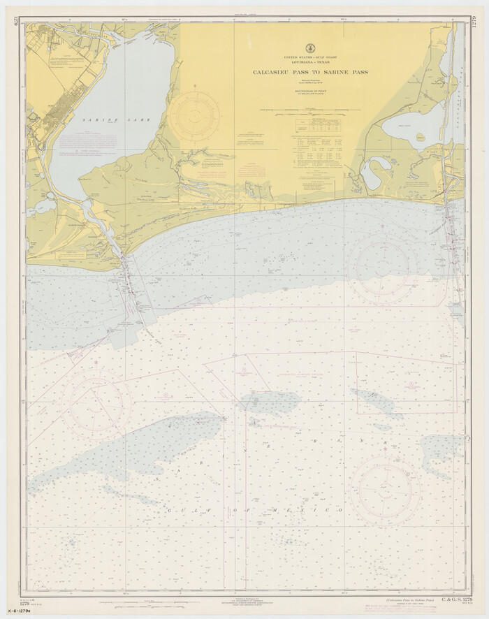
Calcasieu Pass to Sabine Pass
Print $20.00
- Digital $50.00
Calcasieu Pass to Sabine Pass
1966
Size 44.9 x 35.5 inches
Map/Doc 69810
Colton's Map of United States, the Canadas & c. showing the Railraods, Canals & Stage Roads with distances from place to place

Print $20.00
- Digital $50.00
Colton's Map of United States, the Canadas & c. showing the Railraods, Canals & Stage Roads with distances from place to place
Size 28.8 x 33.0 inches
Map/Doc 93983