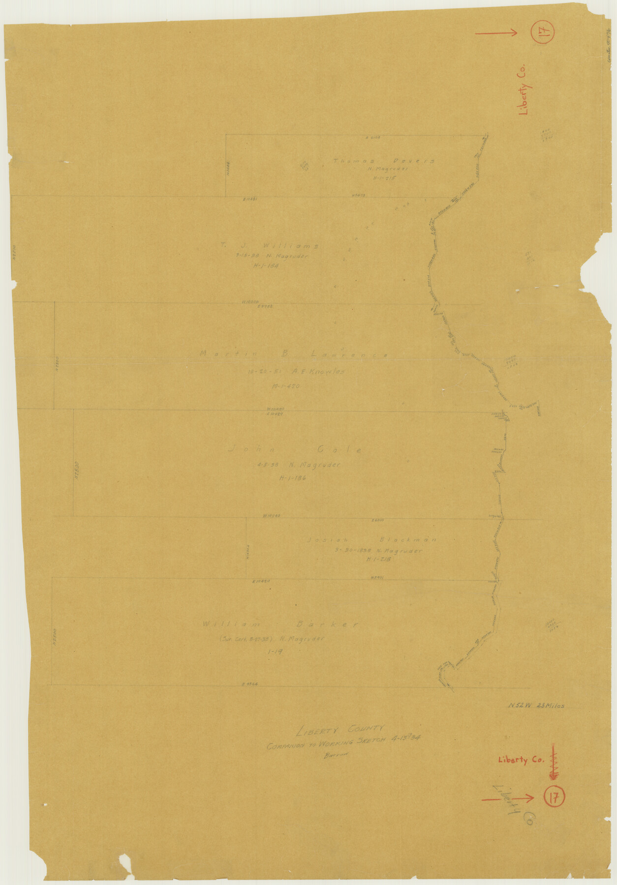
Liberty County Working Sketch 17
-
Map/Doc
70476
-
Collection
General Map Collection
-
Object Dates
4/13/1934 (Creation Date)
-
People and Organizations
J.O. Barrow (Draftsman)
-
Counties
Liberty
-
Subjects
Surveying Working Sketch
-
Height x Width
34.5 x 24.0 inches
87.6 x 61.0 cm
Part of: General Map Collection
Walker County Working Sketch 16

Print $20.00
- Digital $50.00
Walker County Working Sketch 16
1983
Size 36.5 x 42.4 inches
Map/Doc 72296
Map of the Lands Surveyed by the Memphis, El Paso & Pacific R.R. Company

Print $20.00
- Digital $50.00
Map of the Lands Surveyed by the Memphis, El Paso & Pacific R.R. Company
1860
Size 20.1 x 20.8 inches
Map/Doc 4848
Reeves County Working Sketch 17

Print $20.00
- Digital $50.00
Reeves County Working Sketch 17
1961
Size 30.2 x 30.9 inches
Map/Doc 63460
Boundaries of Robertson's Colony and of Milam's Colony

Print $6.00
- Digital $50.00
Boundaries of Robertson's Colony and of Milam's Colony
1840
Size 9.5 x 14.8 inches
Map/Doc 1949
Zavala County Sketch File A

Print $10.00
- Digital $50.00
Zavala County Sketch File A
1893
Size 8.7 x 7.9 inches
Map/Doc 41433


Flight Mission No. DIX-10P, Frame 147, Aransas County

Print $20.00
- Digital $50.00
Flight Mission No. DIX-10P, Frame 147, Aransas County
1956
Size 18.7 x 22.4 inches
Map/Doc 83949
Edwards County Rolled Sketch 34

Print $20.00
- Digital $50.00
Edwards County Rolled Sketch 34
1994
Size 18.0 x 33.5 inches
Map/Doc 5816
Leon County Rolled Sketch 34

Print $20.00
- Digital $50.00
Leon County Rolled Sketch 34
1999
Size 31.8 x 37.1 inches
Map/Doc 87502
Harris County Sketch File 25

Print $8.00
- Digital $50.00
Harris County Sketch File 25
Size 9.0 x 11.8 inches
Map/Doc 25389
Louisiana and Texas Intracoastal Waterway - High Island to Port Bolivar Dredging - Sheet 5

Print $20.00
- Digital $50.00
Louisiana and Texas Intracoastal Waterway - High Island to Port Bolivar Dredging - Sheet 5
1943
Size 31.4 x 41.8 inches
Map/Doc 61824
You may also like
Maverick County Sketch File 9

Print $8.00
- Digital $50.00
Maverick County Sketch File 9
1878
Size 5.3 x 5.6 inches
Map/Doc 31068

Portion of States submerged area in Lavaca Bay, Calhoun County, Texas

Print $20.00
- Digital $50.00
Portion of States submerged area in Lavaca Bay, Calhoun County, Texas
1921
Size 23.0 x 27.0 inches
Map/Doc 2940
Colorado County Working Sketch 22

Print $20.00
- Digital $50.00
Colorado County Working Sketch 22
1964
Size 31.9 x 42.5 inches
Map/Doc 68122

Orange County Working Sketch 37

Print $40.00
- Digital $50.00
Orange County Working Sketch 37
1962
Size 37.7 x 54.0 inches
Map/Doc 71369
Scurry County Sketch File 1

Print $6.00
- Digital $50.00
Scurry County Sketch File 1
Size 14.5 x 9.1 inches
Map/Doc 36560
[Anderson County]
![5051, [Anderson County], General Map Collection](https://historictexasmaps.com/wmedia_w700/maps/5051-GC.tif.jpg)
Print $20.00
- Digital $50.00
[Anderson County]
1848
Size 26.0 x 19.9 inches
Map/Doc 5051
Brewster County Rolled Sketch 88

Print $20.00
- Digital $50.00
Brewster County Rolled Sketch 88
1948
Size 23.7 x 19.7 inches
Map/Doc 5248

Section L Tech Memorial Park, Inc.

Print $3.00
- Digital $50.00
Section L Tech Memorial Park, Inc.
1950
Size 11.7 x 12.8 inches
Map/Doc 92270
Brazoria County Working Sketch 26

Print $20.00
- Digital $50.00
Brazoria County Working Sketch 26
1968
Size 33.2 x 35.4 inches
Map/Doc 67511