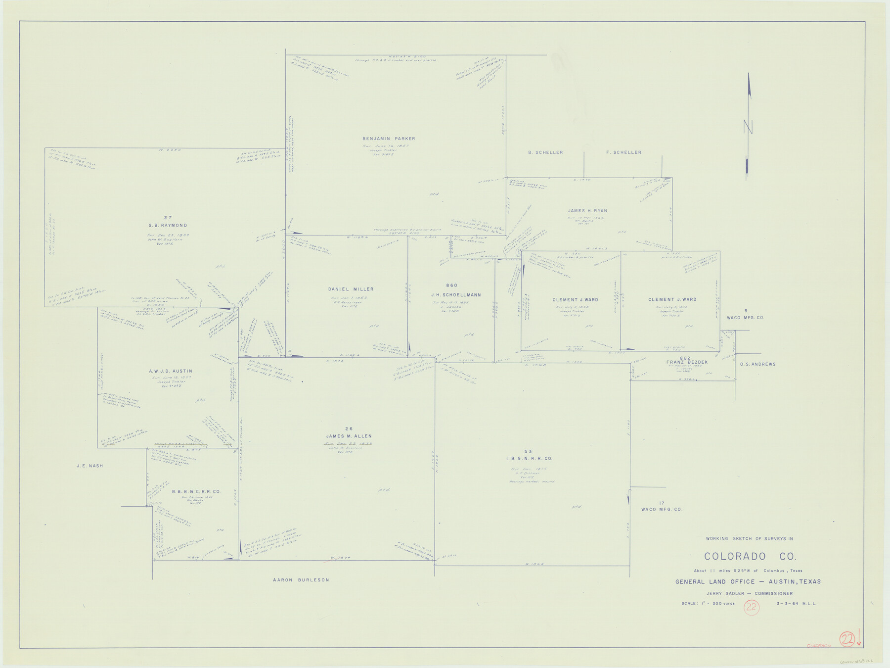
Colorado County Working Sketch 22
-
Map/Doc
68122
-
Collection
General Map Collection
-
Object Dates
3/3/1964 (Creation Date)
-
People and Organizations
M. L. Liles (Draftsman)
-
Counties
Colorado
-
Subjects
Surveying Working Sketch
-
Height x Width
31.9 x 42.5 inches
81.0 x 108.0 cm
-
Scale
1" = 200 varas
Part of: General Map Collection
Map of Hall County

Print $20.00
- Digital $50.00
Map of Hall County
1900
Size 41.2 x 41.3 inches
Map/Doc 16842
El Paso County Sketch File 27

Print $20.00
- Digital $50.00
El Paso County Sketch File 27
Size 18.3 x 24.5 inches
Map/Doc 11458
Galveston County NRC Article 33.136 Sketch 39

Print $24.00
- Digital $50.00
Galveston County NRC Article 33.136 Sketch 39
2005
Size 25.0 x 25.4 inches
Map/Doc 83084
Hays County Sketch File 13 and 14

Print $8.00
- Digital $50.00
Hays County Sketch File 13 and 14
1868
Size 12.4 x 8.0 inches
Map/Doc 26220
Flight Mission No. BQR-3K, Frame 151, Brazoria County

Print $20.00
- Digital $50.00
Flight Mission No. BQR-3K, Frame 151, Brazoria County
1952
Size 18.7 x 22.4 inches
Map/Doc 83978
Wise County Working Sketch 25

Print $40.00
- Digital $50.00
Wise County Working Sketch 25
1983
Size 37.1 x 53.8 inches
Map/Doc 72639
Baylor County Boundary File 17

Print $20.00
- Digital $50.00
Baylor County Boundary File 17
Size 20.0 x 7.7 inches
Map/Doc 50434
[Galveston, Harrisburg & San Antonio Railroad from Cuero to Stockdale]
![64196, [Galveston, Harrisburg & San Antonio Railroad from Cuero to Stockdale], General Map Collection](https://historictexasmaps.com/wmedia_w700/maps/64196.tif.jpg)
Print $20.00
- Digital $50.00
[Galveston, Harrisburg & San Antonio Railroad from Cuero to Stockdale]
1907
Size 13.7 x 34.0 inches
Map/Doc 64196
Geological Report on Robertson County

Print $20.00
- Digital $50.00
Geological Report on Robertson County
1918
Size 21.7 x 25.8 inches
Map/Doc 97084
Live Oak County Working Sketch 24

Print $20.00
- Digital $50.00
Live Oak County Working Sketch 24
1978
Size 31.9 x 38.2 inches
Map/Doc 70609
Sabine County

Print $20.00
- Digital $50.00
Sabine County
1920
Size 43.5 x 34.2 inches
Map/Doc 63013
Edwards County Rolled Sketch 32

Print $20.00
- Digital $50.00
Edwards County Rolled Sketch 32
1986
Size 36.7 x 24.3 inches
Map/Doc 8850
You may also like
Field Notes for the Remonumentation of the Northwest Corner of the State of Texas by the Department of the Interior

Print $38.00
Field Notes for the Remonumentation of the Northwest Corner of the State of Texas by the Department of the Interior
1991
Map/Doc 81687
Real County Working Sketch 89

Print $20.00
- Digital $50.00
Real County Working Sketch 89
Size 28.0 x 37.1 inches
Map/Doc 71981
Runnels County Sketch File C

Print $4.00
Runnels County Sketch File C
Size 14.2 x 8.8 inches
Map/Doc 35457
[Atlas A, Table of Contents, part 2]
![82085, [Atlas A, Table of Contents, part 2], General Map Collection](https://historictexasmaps.com/wmedia_w700/maps/82085.tif.jpg)
Print $2.00
- Digital $50.00
[Atlas A, Table of Contents, part 2]
Size 7.0 x 11.8 inches
Map/Doc 82085
Intracoastal Waterway in Texas - Corpus Christi to Point Isabel including Arroyo Colorado to Mo. Pac. R.R. Bridge Near Harlingen

Print $20.00
- Digital $50.00
Intracoastal Waterway in Texas - Corpus Christi to Point Isabel including Arroyo Colorado to Mo. Pac. R.R. Bridge Near Harlingen
1933
Size 27.9 x 40.7 inches
Map/Doc 61863
Harris County Sketch File 109

Print $16.00
- Digital $50.00
Harris County Sketch File 109
2003
Size 11.1 x 8.7 inches
Map/Doc 78506
Flight Mission No. DCL-6C, Frame 48, Kenedy County

Print $20.00
- Digital $50.00
Flight Mission No. DCL-6C, Frame 48, Kenedy County
1943
Size 18.7 x 22.3 inches
Map/Doc 85890
Map of Madison County

Print $20.00
- Digital $50.00
Map of Madison County
1880
Size 17.0 x 24.9 inches
Map/Doc 3832
Gillespie County Boundary File 4

Print $56.00
- Digital $50.00
Gillespie County Boundary File 4
Size 13.6 x 9.0 inches
Map/Doc 53754
Stonewall County Working Sketch 3

Print $20.00
- Digital $50.00
Stonewall County Working Sketch 3
1916
Size 22.2 x 17.9 inches
Map/Doc 63997
Rand, McNally & Co.'s Texas

Print $20.00
- Digital $50.00
Rand, McNally & Co.'s Texas
1900
Size 21.6 x 28.5 inches
Map/Doc 95843
Map of the Western Part of Bexar District

Print $40.00
- Digital $50.00
Map of the Western Part of Bexar District
1849
Size 63.5 x 21.6 inches
Map/Doc 87375