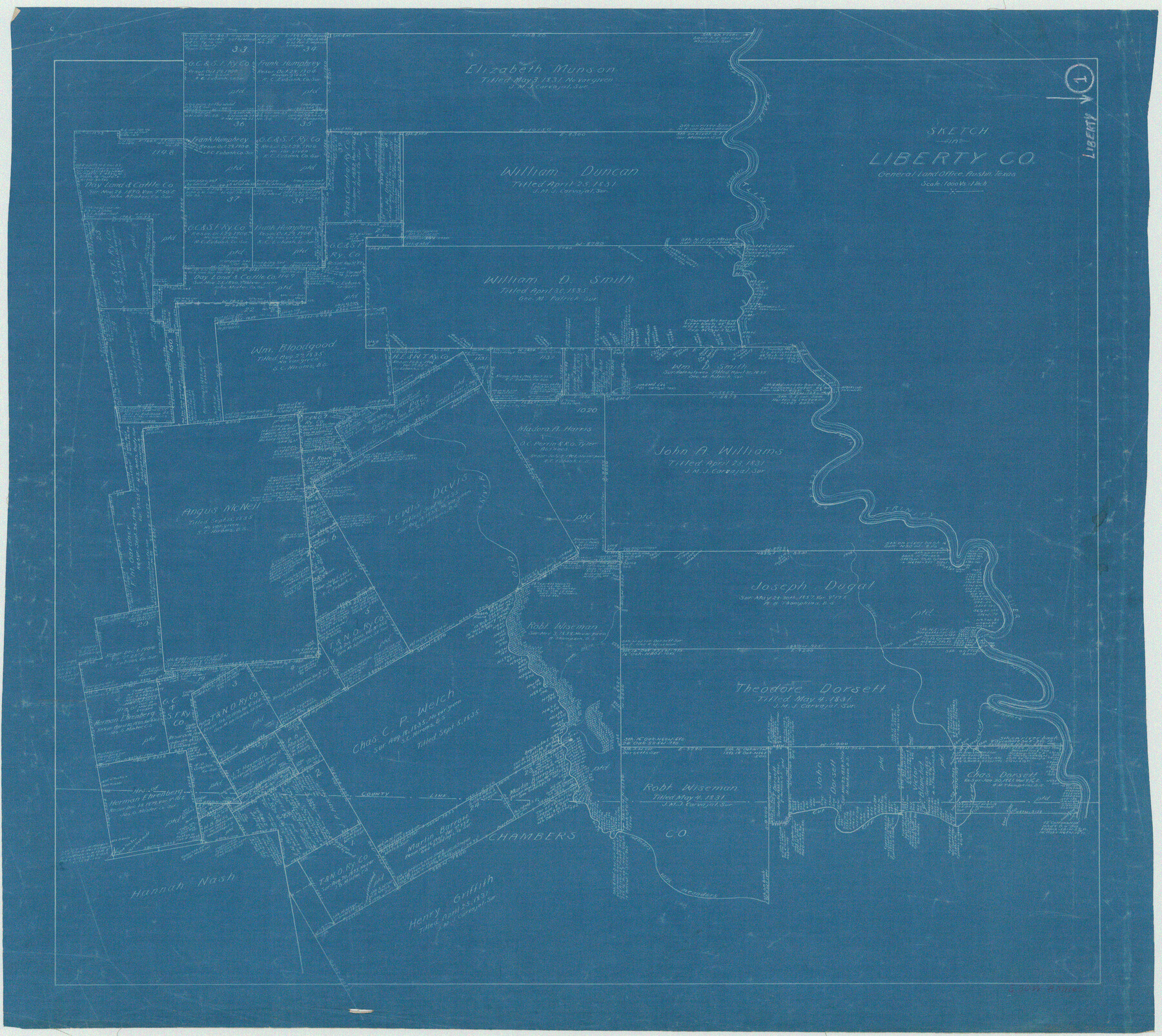
Liberty County Working Sketch 1
-
Map/Doc
70460
-
Collection
General Map Collection
-
Counties
Liberty
-
Subjects
Surveying Working Sketch
-
Height x Width
26.5 x 29.7 inches
67.3 x 75.4 cm
-
Scale
1" = 1000 varas
Part of: General Map Collection
Wise County Working Sketch 25

Print $40.00
- Digital $50.00
Wise County Working Sketch 25
1983
Size 37.1 x 53.8 inches
Map/Doc 72639
San Augustine County Working Sketch 3

Print $20.00
- Digital $50.00
San Augustine County Working Sketch 3
1934
Size 22.9 x 13.6 inches
Map/Doc 63690
Mason County Sketch File 21

Print $6.00
- Digital $50.00
Mason County Sketch File 21
Size 15.7 x 10.9 inches
Map/Doc 30717
City of Austin, Texas - Use District Map

Print $20.00
- Digital $50.00
City of Austin, Texas - Use District Map
1943
Size 38.9 x 25.7 inches
Map/Doc 95705
South Sulphur River, Klondike Sheet

Print $6.00
- Digital $50.00
South Sulphur River, Klondike Sheet
1925
Size 32.2 x 35.5 inches
Map/Doc 65170
Dallas County Boundary File 6

Print $10.00
- Digital $50.00
Dallas County Boundary File 6
Size 11.1 x 8.5 inches
Map/Doc 52184
Crosby County Rolled Sketch D

Print $20.00
- Digital $50.00
Crosby County Rolled Sketch D
Size 23.9 x 23.6 inches
Map/Doc 5643
Maverick County Working Sketch 6

Print $40.00
- Digital $50.00
Maverick County Working Sketch 6
1944
Size 55.9 x 42.4 inches
Map/Doc 70898
Flight Mission No. CUG-1P, Frame 82, Kleberg County

Print $20.00
- Digital $50.00
Flight Mission No. CUG-1P, Frame 82, Kleberg County
1956
Size 18.6 x 22.3 inches
Map/Doc 86147
Flight Mission No. BQR-13K, Frame 24, Brazoria County

Print $20.00
- Digital $50.00
Flight Mission No. BQR-13K, Frame 24, Brazoria County
1952
Size 18.9 x 22.4 inches
Map/Doc 84072
Presidio County Working Sketch 51

Print $20.00
- Digital $50.00
Presidio County Working Sketch 51
1953
Size 33.4 x 43.1 inches
Map/Doc 71728
Nueces County NRC Article 33.136 Sketch 20

Print $36.00
- Digital $50.00
Nueces County NRC Article 33.136 Sketch 20
2021
Map/Doc 96887
You may also like
Reagan County Sketch File 33

Print $4.00
- Digital $50.00
Reagan County Sketch File 33
1948
Size 8.9 x 14.4 inches
Map/Doc 35028
[Map of Counties south of Panhandle]
![92960, [Map of Counties south of Panhandle], Twichell Survey Records](https://historictexasmaps.com/wmedia_w700/maps/92960-1.tif.jpg)
Print $20.00
- Digital $50.00
[Map of Counties south of Panhandle]
Size 22.1 x 15.8 inches
Map/Doc 92960
Map of San Jacinto County, Texas

Print $20.00
- Digital $50.00
Map of San Jacinto County, Texas
1882
Size 29.7 x 22.8 inches
Map/Doc 610
Hopkins County Sketch File 26

Print $4.00
- Digital $50.00
Hopkins County Sketch File 26
Size 8.4 x 6.1 inches
Map/Doc 26736
Edwards County Boundary File 2

Print $28.00
- Digital $50.00
Edwards County Boundary File 2
Size 11.2 x 8.6 inches
Map/Doc 52862
Map of east part of West Bay & SW part of Galveston Bay, Galveston County showing subdivision for mineral development

Print $40.00
- Digital $50.00
Map of east part of West Bay & SW part of Galveston Bay, Galveston County showing subdivision for mineral development
1963
Size 43.0 x 60.8 inches
Map/Doc 2976
Harris County Sketch File 92

Print $20.00
- Digital $50.00
Harris County Sketch File 92
1932
Size 37.9 x 35.0 inches
Map/Doc 10483
[Township 2 North, Blocks 32 and 33]
![91212, [Township 2 North, Blocks 32 and 33], Twichell Survey Records](https://historictexasmaps.com/wmedia_w700/maps/91212-1.tif.jpg)
Print $3.00
- Digital $50.00
[Township 2 North, Blocks 32 and 33]
Size 11.8 x 10.8 inches
Map/Doc 91212
Upshur County Sketch File 3a

Print $2.00
- Digital $50.00
Upshur County Sketch File 3a
Size 6.5 x 7.1 inches
Map/Doc 38736
Upton County Working Sketch 20

Print $40.00
- Digital $50.00
Upton County Working Sketch 20
1950
Size 52.8 x 42.1 inches
Map/Doc 69516
San Jacinto County Rolled Sketch 14

Print $20.00
- Digital $50.00
San Jacinto County Rolled Sketch 14
1998
Size 25.7 x 37.2 inches
Map/Doc 7570
San Jacinto River and Tributaries, Texas - Survey of 1939

Print $20.00
- Digital $50.00
San Jacinto River and Tributaries, Texas - Survey of 1939
1939
Size 27.7 x 40.4 inches
Map/Doc 60309