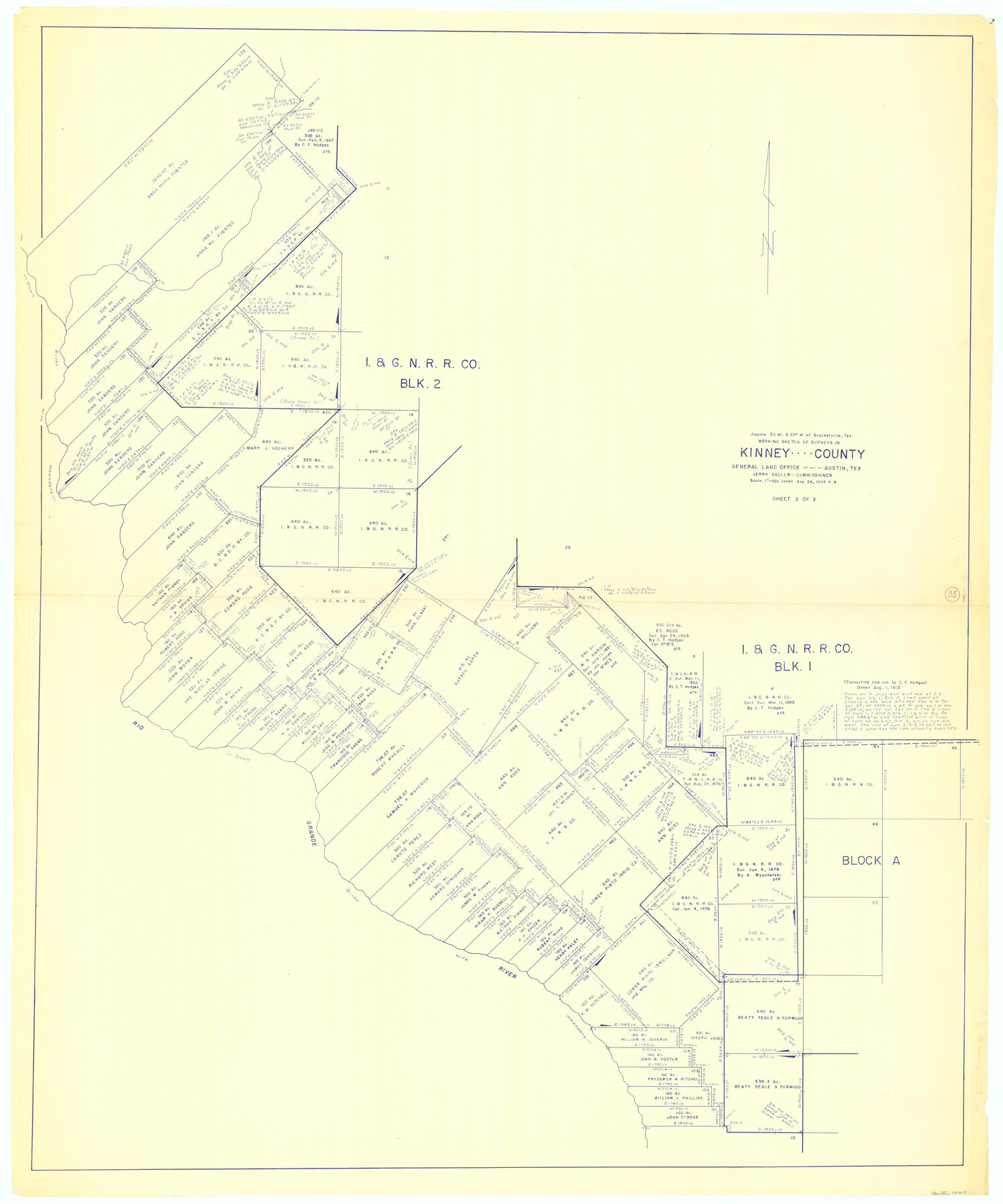
Kinney County Working Sketch 35
-
Map/Doc
70217
-
Collection
General Map Collection
-
Object Dates
8/26/1965 (Creation Date)
-
People and Organizations
Roy Buckholts (Draftsman)
-
Counties
Kinney
-
Subjects
Surveying Working Sketch
-
Height x Width
58.3 x 48.6 inches
148.1 x 123.4 cm
-
Scale
1" = 400 varas
Part of: General Map Collection
Brewster County Rolled Sketch 95

Print $20.00
- Digital $50.00
Brewster County Rolled Sketch 95
1947
Size 29.4 x 38.0 inches
Map/Doc 5252
Duval County Working Sketch 35

Print $20.00
- Digital $50.00
Duval County Working Sketch 35
1956
Size 17.2 x 16.5 inches
Map/Doc 68759
[Nueces Bay Islands and Nesting Birds]
![60312, [Nueces Bay Islands and Nesting Birds], General Map Collection](https://historictexasmaps.com/wmedia_w700/maps/60312.tif.jpg)
Print $2.00
- Digital $50.00
[Nueces Bay Islands and Nesting Birds]
1940
Size 11.4 x 7.2 inches
Map/Doc 60312
Upshur County Sketch File 1

Print $9.00
- Digital $50.00
Upshur County Sketch File 1
1854
Size 5.5 x 4.5 inches
Map/Doc 38728
Edwards County Working Sketch 12

Print $20.00
- Digital $50.00
Edwards County Working Sketch 12
1922
Size 26.2 x 26.7 inches
Map/Doc 68888
Gaines County Sketch File 25

Print $4.00
- Digital $50.00
Gaines County Sketch File 25
2002
Size 11.0 x 8.5 inches
Map/Doc 82618
Hutchinson County Rolled Sketch 9

Print $20.00
- Digital $50.00
Hutchinson County Rolled Sketch 9
Size 25.5 x 27.8 inches
Map/Doc 6280
El Paso County Working Sketch 19

Print $20.00
- Digital $50.00
El Paso County Working Sketch 19
1960
Size 20.8 x 20.8 inches
Map/Doc 69041
Starr County Rolled Sketch 19

Print $20.00
- Digital $50.00
Starr County Rolled Sketch 19
1920
Size 20.8 x 24.9 inches
Map/Doc 7803
Chambers County Sketch File 11

Print $40.00
- Digital $50.00
Chambers County Sketch File 11
Size 13.7 x 12.6 inches
Map/Doc 17554
Liberty County Sketch File 3

Print $2.00
- Digital $50.00
Liberty County Sketch File 3
1847
Size 13.7 x 8.3 inches
Map/Doc 29884
Pecos County Sketch File 76

Print $4.00
- Digital $50.00
Pecos County Sketch File 76
1943
Size 11.2 x 8.8 inches
Map/Doc 33907
You may also like
Motley County Sketch File F (S)

Print $14.00
- Digital $50.00
Motley County Sketch File F (S)
1904
Size 9.1 x 5.9 inches
Map/Doc 32179
Briscoe County Rolled Sketch 14A

Print $40.00
- Digital $50.00
Briscoe County Rolled Sketch 14A
1913
Size 34.6 x 48.1 inches
Map/Doc 8530
Wilbarger Co.

Print $40.00
- Digital $50.00
Wilbarger Co.
1889
Size 48.2 x 39.0 inches
Map/Doc 63124
Gaines County Working Sketch 26

Print $20.00
- Digital $50.00
Gaines County Working Sketch 26
1983
Size 34.1 x 39.7 inches
Map/Doc 69326
Liberty County Sketch File 45

Print $4.00
- Digital $50.00
Liberty County Sketch File 45
Size 7.8 x 10.1 inches
Map/Doc 30003
General Highway Map, Hidalgo County, Texas

Print $20.00
General Highway Map, Hidalgo County, Texas
1940
Size 18.4 x 24.7 inches
Map/Doc 79127
Mason County Sketch File 5

Print $20.00
- Digital $50.00
Mason County Sketch File 5
1875
Size 15.8 x 12.9 inches
Map/Doc 12033
[Northeast part of County]
![89957, [Northeast part of County], Twichell Survey Records](https://historictexasmaps.com/wmedia_w700/maps/89957-1.tif.jpg)
Print $20.00
- Digital $50.00
[Northeast part of County]
Size 37.1 x 42.9 inches
Map/Doc 89957
Flight Mission No. DAG-24K, Frame 136, Matagorda County

Print $20.00
- Digital $50.00
Flight Mission No. DAG-24K, Frame 136, Matagorda County
1953
Size 18.4 x 22.2 inches
Map/Doc 86554
Hidalgo County Working Sketch 10

Print $40.00
- Digital $50.00
Hidalgo County Working Sketch 10
2011
Size 59.9 x 29.5 inches
Map/Doc 89998
![90328, [Block B9], Twichell Survey Records](https://historictexasmaps.com/wmedia_w700/maps/90328-1.tif.jpg)
Limestone County Boundary File 1

Print $9.00
- Digital $50.00
Limestone County Boundary File 1
Size 8.8 x 14.5 inches
Map/Doc 56296