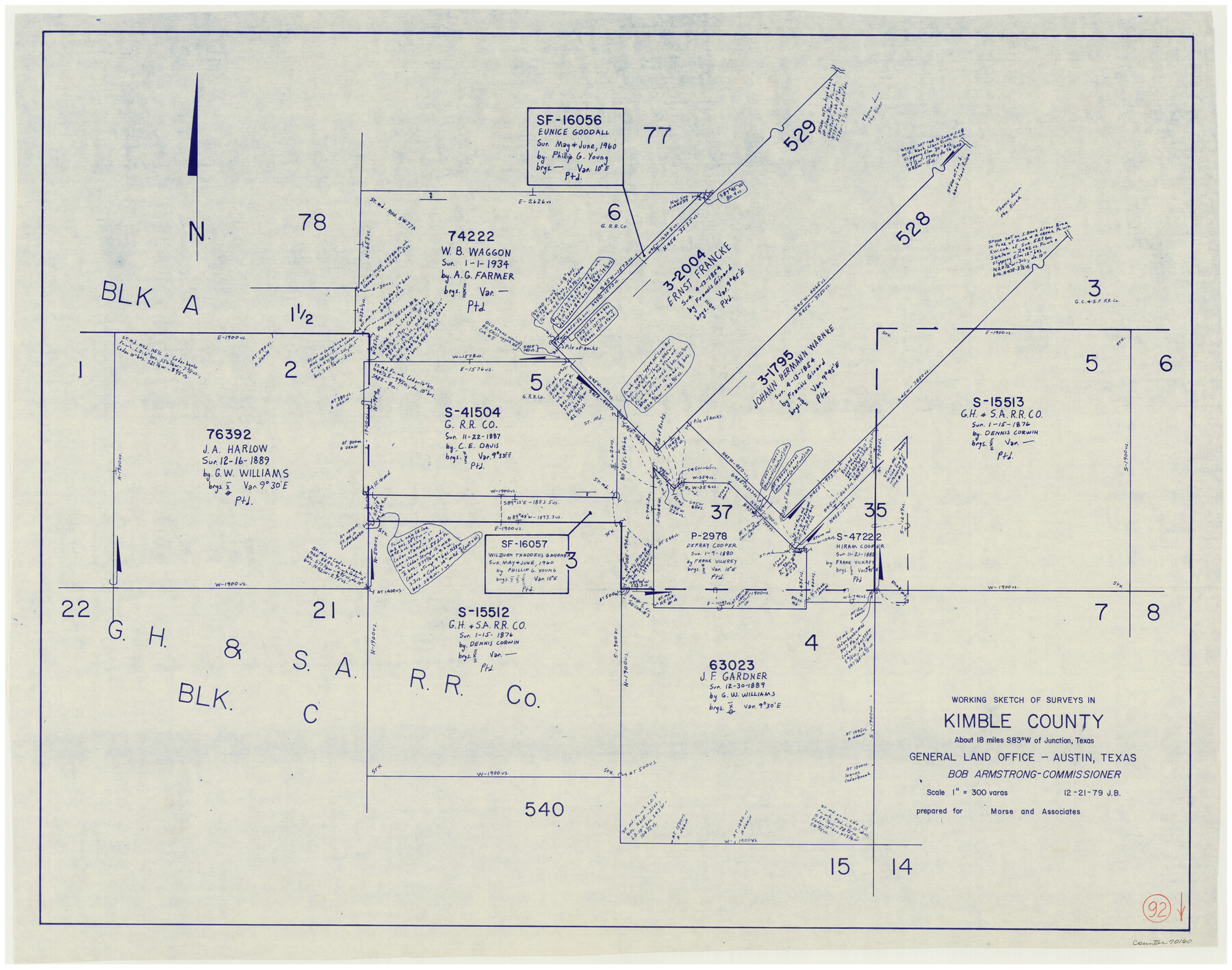
Kimble County Working Sketch 92
-
Map/Doc
70160
-
Collection
General Map Collection
-
Object Dates
12/21/1979 (Creation Date)
-
People and Organizations
Jana Brod (Draftsman)
-
Counties
Kimble
-
Subjects
Surveying Working Sketch
-
Height x Width
24.0 x 30.6 inches
61.0 x 77.7 cm
-
Scale
1" = 300 varas
Part of: General Map Collection
Sutton County Sketch File 56

Print $8.00
Sutton County Sketch File 56
1953
Size 11.2 x 9.0 inches
Map/Doc 37538


Mills County Rolled Sketch 7

Print $20.00
- Digital $50.00
Mills County Rolled Sketch 7
2025
Size 23.7 x 29.8 inches
Map/Doc 97434
Hays County Sketch File 30

Print $12.00
- Digital $50.00
Hays County Sketch File 30
1938
Size 14.3 x 9.0 inches
Map/Doc 26255
Webb County Sketch File 71

Print $44.00
- Digital $50.00
Webb County Sketch File 71
Size 14.4 x 7.6 inches
Map/Doc 39888
Uvalde County Rolled Sketch 15

Print $20.00
- Digital $50.00
Uvalde County Rolled Sketch 15
1979
Size 26.9 x 23.9 inches
Map/Doc 8099
Crockett County Sketch File 75a

Print $6.00
- Digital $50.00
Crockett County Sketch File 75a
Size 14.2 x 8.8 inches
Map/Doc 19873
Controlled Mosaic by Jack Amman Photogrammetric Engineers, Inc - Sheet 20

Print $20.00
- Digital $50.00
Controlled Mosaic by Jack Amman Photogrammetric Engineers, Inc - Sheet 20
1954
Size 20.0 x 24.0 inches
Map/Doc 83466
Reeves County Sketch File 23a and 23b

Print $4.00
- Digital $50.00
Reeves County Sketch File 23a and 23b
1985
Size 14.9 x 8.7 inches
Map/Doc 35222
Bowie County Working Sketch 18

Print $20.00
- Digital $50.00
Bowie County Working Sketch 18
1962
Size 26.3 x 20.4 inches
Map/Doc 67422
Orange County Sketch File 43

Print $4.00
- Digital $50.00
Orange County Sketch File 43
1873
Size 8.2 x 10.3 inches
Map/Doc 33385
You may also like
Erath County Sketch File 10a

Print $4.00
- Digital $50.00
Erath County Sketch File 10a
1871
Size 8.0 x 12.8 inches
Map/Doc 22277
Hemphill County Boundary File 2

Print $54.00
- Digital $50.00
Hemphill County Boundary File 2
Size 8.6 x 32.1 inches
Map/Doc 54621
Rockwall County Boundary File 75

Print $18.00
- Digital $50.00
Rockwall County Boundary File 75
Size 9.0 x 11.7 inches
Map/Doc 58472
Sterling County Sketch File 19

Print $8.00
- Digital $50.00
Sterling County Sketch File 19
1949
Size 11.2 x 8.6 inches
Map/Doc 37169
Crockett County Sketch File 75a
Print $6.00
- Digital $50.00
Crockett County Sketch File 75a
Size 14.2 x 8.8 inches
Map/Doc 19873
Part of City of Plains

Print $20.00
- Digital $50.00
Part of City of Plains
Size 37.1 x 23.6 inches
Map/Doc 92449
Lynn County Sketch File 9

Print $4.00
- Digital $50.00
Lynn County Sketch File 9
1904
Size 11.2 x 8.7 inches
Map/Doc 30475
Kinney County Sketch File 31

Print $40.00
- Digital $50.00
Kinney County Sketch File 31
1934
Size 15.3 x 13.6 inches
Map/Doc 29176
Orange County Rolled Sketch 26

Print $20.00
- Digital $50.00
Orange County Rolled Sketch 26
1952
Size 35.2 x 43.0 inches
Map/Doc 9649
Val Verde County Rolled Sketch 58

Print $20.00
- Digital $50.00
Val Verde County Rolled Sketch 58
1938
Size 17.9 x 22.4 inches
Map/Doc 8126
Potter County Boundary File 1

Print $12.00
- Digital $50.00
Potter County Boundary File 1
Size 14.1 x 8.7 inches
Map/Doc 57937
Flight Mission No. CUG-2P, Frame 12, Kleberg County

Print $20.00
- Digital $50.00
Flight Mission No. CUG-2P, Frame 12, Kleberg County
1956
Size 18.6 x 22.1 inches
Map/Doc 86184