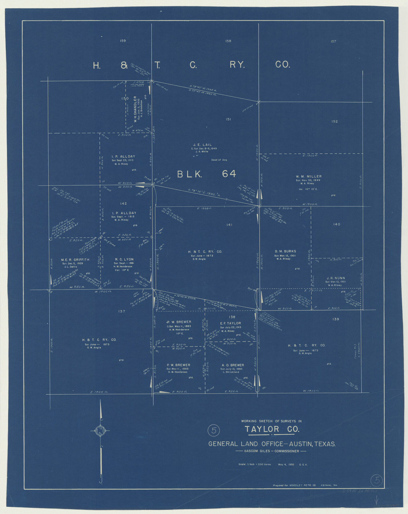
Taylor County Working Sketch 5
-
Map/Doc
69615
-
Collection
General Map Collection
-
Object Dates
5/4/1950 (Creation Date)
-
People and Organizations
Otto G. Kurio (Draftsman)
-
Counties
Taylor
-
Subjects
Surveying Working Sketch
-
Height x Width
31.1 x 24.7 inches
79.0 x 62.7 cm
-
Scale
1" = 300 varas
Part of: General Map Collection
Nueces County Rolled Sketch 101

Print $88.00
Nueces County Rolled Sketch 101
1985
Size 18.2 x 24.6 inches
Map/Doc 7061
Brazos County Sketch File 4

Print $4.00
- Digital $50.00
Brazos County Sketch File 4
1928
Size 11.5 x 7.3 inches
Map/Doc 15557
Maverick County Sketch File 1 1/2

Print $20.00
- Digital $50.00
Maverick County Sketch File 1 1/2
1875
Size 23.2 x 27.6 inches
Map/Doc 12049
Culberson County Rolled Sketch 69

Print $20.00
- Digital $50.00
Culberson County Rolled Sketch 69
Size 33.5 x 22.9 inches
Map/Doc 76425
Brooks County Boundary File 1a

Print $40.00
- Digital $50.00
Brooks County Boundary File 1a
Size 63.8 x 7.1 inches
Map/Doc 50836
Lipscomb County Boundary File 14a

Print $4.00
- Digital $50.00
Lipscomb County Boundary File 14a
Size 11.3 x 8.7 inches
Map/Doc 56368
Hood County Sketch File 20

Print $4.00
- Digital $50.00
Hood County Sketch File 20
1873
Size 6.8 x 6.9 inches
Map/Doc 26607
Martin County Sketch File 7

Print $20.00
- Digital $50.00
Martin County Sketch File 7
Size 20.0 x 13.9 inches
Map/Doc 12028
Flight Mission No. CRC-3R, Frame 166, Chambers County

Print $20.00
- Digital $50.00
Flight Mission No. CRC-3R, Frame 166, Chambers County
1956
Size 18.8 x 22.4 inches
Map/Doc 84848
Upton County Sketch File 34

Print $40.00
- Digital $50.00
Upton County Sketch File 34
1941
Size 16.2 x 12.2 inches
Map/Doc 38884
Cooke County Working Sketch 25

Print $20.00
- Digital $50.00
Cooke County Working Sketch 25
1974
Size 31.7 x 22.9 inches
Map/Doc 68262
Baylor County Rolled Sketch 9

Print $20.00
- Digital $50.00
Baylor County Rolled Sketch 9
1892
Size 18.2 x 26.1 inches
Map/Doc 5125
You may also like
Greer County Sketch File 7

Print $40.00
- Digital $50.00
Greer County Sketch File 7
Size 12.8 x 17.5 inches
Map/Doc 24526
Liberty County Working Sketch 2

Print $20.00
- Digital $50.00
Liberty County Working Sketch 2
Size 12.4 x 22.2 inches
Map/Doc 70461
Presidio County Rolled Sketch 24

Print $40.00
- Digital $50.00
Presidio County Rolled Sketch 24
1886
Size 158.3 x 23.4 inches
Map/Doc 9765
Freestone County Working Sketch 24

Print $20.00
- Digital $50.00
Freestone County Working Sketch 24
1982
Size 24.5 x 25.3 inches
Map/Doc 69266
[Blocks M8, M9, M11, W1, RC and A. & B. Block A]
![91931, [Blocks M8, M9, M11, W1, RC and A. & B. Block A], Twichell Survey Records](https://historictexasmaps.com/wmedia_w700/maps/91931-1.tif.jpg)
Print $20.00
- Digital $50.00
[Blocks M8, M9, M11, W1, RC and A. & B. Block A]
Size 32.0 x 25.2 inches
Map/Doc 91931
Rusk County Working Sketch 9

Print $20.00
- Digital $50.00
Rusk County Working Sketch 9
1981
Size 28.3 x 32.3 inches
Map/Doc 63644
Flight Mission No. DCL-6C, Frame 125, Kenedy County

Print $20.00
- Digital $50.00
Flight Mission No. DCL-6C, Frame 125, Kenedy County
1943
Size 18.7 x 22.3 inches
Map/Doc 85955
Presidio County Rolled Sketch 131A

Print $20.00
- Digital $50.00
Presidio County Rolled Sketch 131A
Size 47.5 x 36.6 inches
Map/Doc 10711
South Part of Webb County

Print $40.00
- Digital $50.00
South Part of Webb County
1984
Size 41.2 x 61.5 inches
Map/Doc 77453
Texas, an Agricultural Empire

Texas, an Agricultural Empire
1915
Size 10.8 x 8.0 inches
Map/Doc 96593
Houston Ship Channel, Atkinson Island to Alexander Island

Print $40.00
- Digital $50.00
Houston Ship Channel, Atkinson Island to Alexander Island
1975
Size 36.2 x 50.4 inches
Map/Doc 69903
[Guadalupe, San Miguel, and other Counties, N.M.]
![89818, [Guadalupe, San Miguel, and other Counties, N.M.], Twichell Survey Records](https://historictexasmaps.com/wmedia_w700/maps/89818-1.tif.jpg)
Print $40.00
- Digital $50.00
[Guadalupe, San Miguel, and other Counties, N.M.]
Size 39.6 x 57.1 inches
Map/Doc 89818