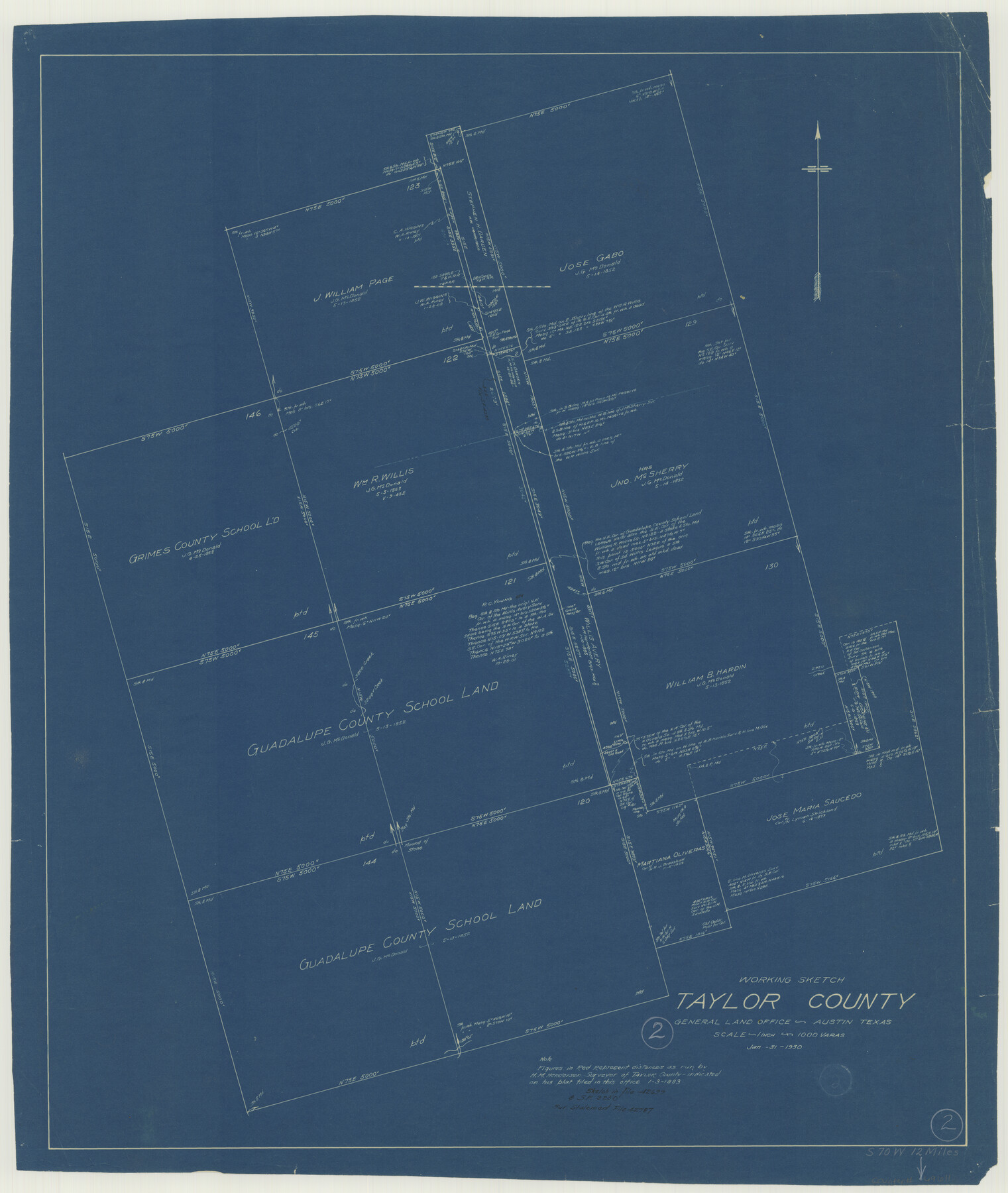
Taylor County Working Sketch 2
-
Map/Doc
69611
-
Collection
General Map Collection
-
Object Dates
1/31/1930 (Creation Date)
-
Counties
Taylor
-
Subjects
Surveying Working Sketch
-
Height x Width
27.3 x 23.1 inches
69.3 x 58.7 cm
-
Scale
1" = 1000 varas
Part of: General Map Collection

Marion County Working Sketch 33

Print $20.00
- Digital $50.00
Marion County Working Sketch 33
1983
Size 16.0 x 20.7 inches
Map/Doc 70809
Flight Mission No. CLL-3N, Frame 40, Willacy County

Print $20.00
- Digital $50.00
Flight Mission No. CLL-3N, Frame 40, Willacy County
1954
Size 18.3 x 22.0 inches
Map/Doc 87098
Presidio County Working Sketch 6

Print $20.00
- Digital $50.00
Presidio County Working Sketch 6
1920
Size 19.1 x 37.2 inches
Map/Doc 71680
Fractional Township No. 11 South Range No. 27 East of the Indian Meridian, Indian Territory

Print $20.00
- Digital $50.00
Fractional Township No. 11 South Range No. 27 East of the Indian Meridian, Indian Territory
1897
Size 19.2 x 24.3 inches
Map/Doc 75247

Kimble County Working Sketch 20

Print $20.00
- Digital $50.00
Kimble County Working Sketch 20
1929
Size 36.2 x 27.8 inches
Map/Doc 70088
Clay County Sketch File 36

Print $3.00
- Digital $50.00
Clay County Sketch File 36
Size 17.0 x 11.0 inches
Map/Doc 18464
Liberty County Working Sketch 29

Print $20.00
- Digital $50.00
Liberty County Working Sketch 29
1943
Size 27.3 x 17.0 inches
Map/Doc 70488
Pecos County Working Sketch 129

Print $20.00
- Digital $50.00
Pecos County Working Sketch 129
1976
Map/Doc 71603
Lavaca County Sketch File 9

Print $22.00
- Digital $50.00
Lavaca County Sketch File 9
Size 7.2 x 13.4 inches
Map/Doc 29646
Current Miscellaneous File 28

Print $22.00
- Digital $50.00
Current Miscellaneous File 28
1952
Size 10.7 x 16.3 inches
Map/Doc 73911
You may also like
Flight Mission No. DQN-2K, Frame 142, Calhoun County

Print $20.00
- Digital $50.00
Flight Mission No. DQN-2K, Frame 142, Calhoun County
1953
Size 16.3 x 16.0 inches
Map/Doc 84311
[Map showing J. H. Gibson Blocks D and DD and Double Lake Corner]
![92015, [Map showing J. H. Gibson Blocks D and DD and Double Lake Corner], Twichell Survey Records](https://historictexasmaps.com/wmedia_w700/maps/92015-1.tif.jpg)
Print $20.00
- Digital $50.00
[Map showing J. H. Gibson Blocks D and DD and Double Lake Corner]
Size 36.4 x 33.6 inches
Map/Doc 92015
Map of Lee County

Print $20.00
- Digital $50.00
Map of Lee County
1874
Size 22.4 x 18.6 inches
Map/Doc 3805
Frio County Sketch File 10

Print $20.00
- Digital $50.00
Frio County Sketch File 10
1906
Size 19.3 x 23.2 inches
Map/Doc 11518
Map of Brassos [sic] & Bosque Surveys
![146, Map of Brassos [sic] & Bosque Surveys, General Map Collection](https://historictexasmaps.com/wmedia_w700/maps/146.tif.jpg)
Print $20.00
- Digital $50.00
Map of Brassos [sic] & Bosque Surveys
1841
Size 27.7 x 18.9 inches
Map/Doc 146
[Texas Panhandle North Boundary Line]
![1714, [Texas Panhandle North Boundary Line], General Map Collection](https://historictexasmaps.com/wmedia_w700/maps/1714.tif.jpg)
Print $20.00
- Digital $50.00
[Texas Panhandle North Boundary Line]
1898
Size 43.6 x 11.4 inches
Map/Doc 1714
Brewster County Rolled Sketch 114

Print $20.00
- Digital $50.00
Brewster County Rolled Sketch 114
1964
Size 11.0 x 18.3 inches
Map/Doc 5269
[Lamb County Sketch File C]
![91193, [Lamb County Sketch File C], Twichell Survey Records](https://historictexasmaps.com/wmedia_w700/maps/91193-1.tif.jpg)
Print $20.00
- Digital $50.00
[Lamb County Sketch File C]
1904
Size 20.1 x 27.2 inches
Map/Doc 91193
Harris County Working Sketch 56

Print $20.00
- Digital $50.00
Harris County Working Sketch 56
1950
Size 33.2 x 31.6 inches
Map/Doc 65948
Flight Mission No. BRA-9M, Frame 68, Jefferson County

Print $20.00
- Digital $50.00
Flight Mission No. BRA-9M, Frame 68, Jefferson County
1953
Size 18.7 x 22.5 inches
Map/Doc 85651
Map of Hill County Texas

Print $20.00
- Digital $50.00
Map of Hill County Texas
1886
Size 19.3 x 24.4 inches
Map/Doc 3673
A true copy of Peck's field book page 1, except classification of lands

Print $2.00
- Digital $50.00
A true copy of Peck's field book page 1, except classification of lands
1876
Size 5.3 x 12.0 inches
Map/Doc 91979