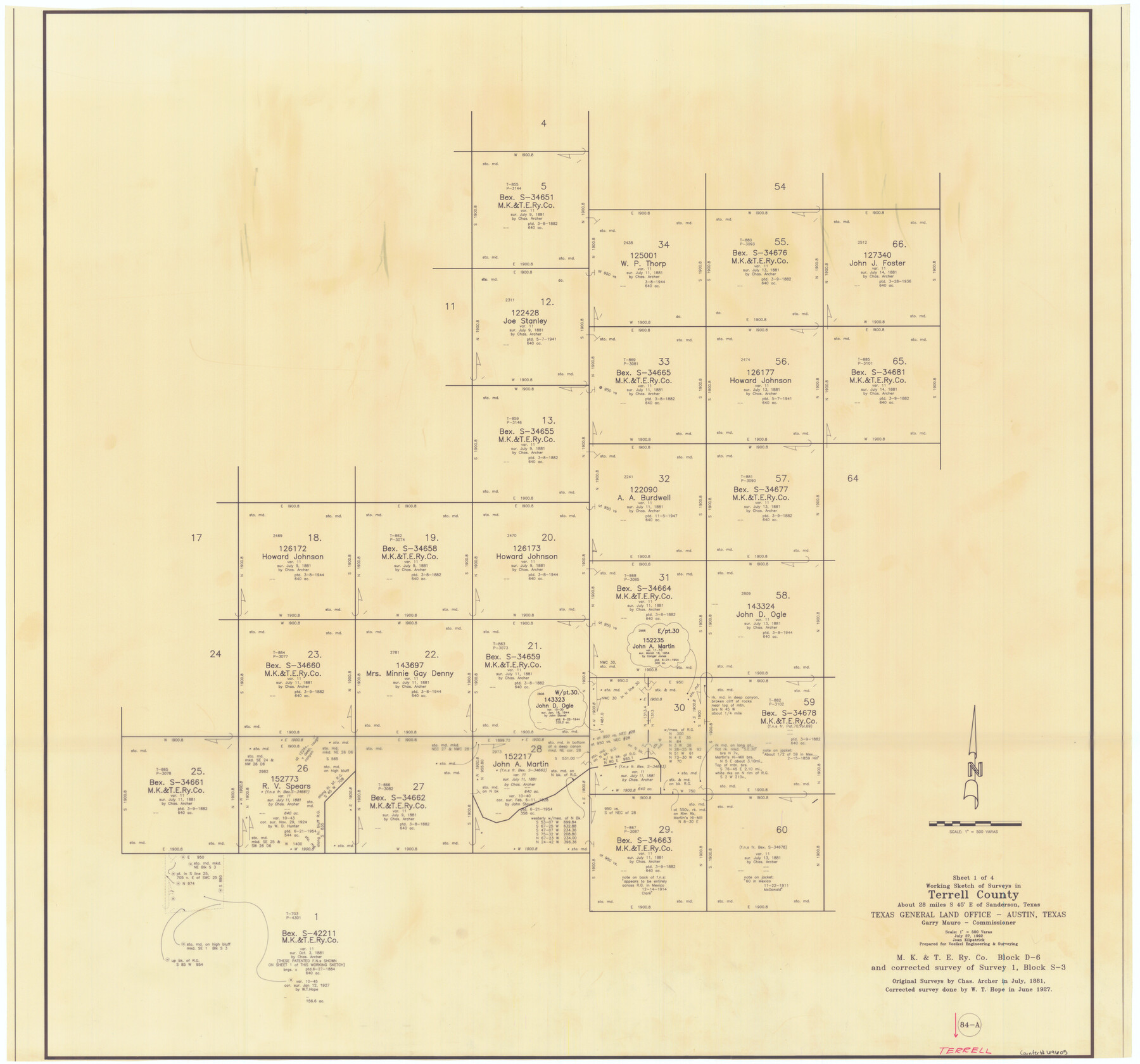
Terrell County Working Sketch 84a
-
Map/Doc
69605
-
Collection
General Map Collection
-
Object Dates
7/27/1992 (Creation Date)
-
People and Organizations
Joan Kilpatrick (Draftsman)
-
Counties
Terrell
-
Subjects
Surveying Working Sketch
-
Height x Width
34.5 x 37.0 inches
87.6 x 94.0 cm
-
Scale
1" = 500 varas
Part of: General Map Collection
Map of Armstrong Co.

Print $20.00
- Digital $50.00
Map of Armstrong Co.
1897
Size 38.2 x 34.8 inches
Map/Doc 3246
Dickens County Working Sketch 11

Print $40.00
- Digital $50.00
Dickens County Working Sketch 11
1969
Size 52.6 x 37.8 inches
Map/Doc 68659
Flight Mission No. CUG-3P, Frame 35, Kleberg County

Print $20.00
- Digital $50.00
Flight Mission No. CUG-3P, Frame 35, Kleberg County
1956
Size 18.6 x 22.3 inches
Map/Doc 86240
Presidio County

Print $40.00
- Digital $50.00
Presidio County
1875
Size 98.1 x 36.4 inches
Map/Doc 88866
Flight Mission No. CUG-3P, Frame 166, Kleberg County

Print $20.00
- Digital $50.00
Flight Mission No. CUG-3P, Frame 166, Kleberg County
1956
Size 18.6 x 22.3 inches
Map/Doc 86286
Marion County Sketch File 10

Print $4.00
- Digital $50.00
Marion County Sketch File 10
1867
Size 7.9 x 12.4 inches
Map/Doc 30579
Loving County

Print $20.00
- Digital $50.00
Loving County
1932
Size 35.0 x 45.6 inches
Map/Doc 73225
Denton County Rolled Sketch 7

Print $20.00
- Digital $50.00
Denton County Rolled Sketch 7
2007
Size 24.5 x 19.3 inches
Map/Doc 87941
Flight Mission No. CGI-1N, Frame 167, Cameron County

Print $20.00
- Digital $50.00
Flight Mission No. CGI-1N, Frame 167, Cameron County
1955
Size 18.6 x 22.3 inches
Map/Doc 84502
Kleberg County Boundary File 3

Print $10.00
- Digital $50.00
Kleberg County Boundary File 3
Size 9.5 x 6.1 inches
Map/Doc 64981
Limestone County Working Sketch 11

Print $20.00
- Digital $50.00
Limestone County Working Sketch 11
1922
Size 36.1 x 33.9 inches
Map/Doc 70561
Terrell County Working Sketch Graphic Index - sheet A

Print $20.00
- Digital $50.00
Terrell County Working Sketch Graphic Index - sheet A
1931
Size 47.9 x 39.2 inches
Map/Doc 76710
You may also like
Travis County Working Sketch 53

Print $40.00
- Digital $50.00
Travis County Working Sketch 53
1964
Size 42.7 x 53.0 inches
Map/Doc 69437

Matagorda Bay and Approaches

Print $20.00
- Digital $50.00
Matagorda Bay and Approaches
1965
Size 34.8 x 44.9 inches
Map/Doc 73383
Walker County Working Sketch 6

Print $20.00
- Digital $50.00
Walker County Working Sketch 6
1935
Size 30.8 x 40.6 inches
Map/Doc 72286
Copy of Surveyor's Field Book, Morris Browning - In Blocks 7, 5 & 4, I&GNRRCo., Hutchinson and Carson Counties, Texas

Print $2.00
- Digital $50.00
Copy of Surveyor's Field Book, Morris Browning - In Blocks 7, 5 & 4, I&GNRRCo., Hutchinson and Carson Counties, Texas
1888
Size 7.0 x 8.8 inches
Map/Doc 62259
Harris County Rolled Sketch 97

Print $20.00
- Digital $50.00
Harris County Rolled Sketch 97
Size 18.8 x 23.6 inches
Map/Doc 6135
Presidio County Sketch File P

Print $8.00
- Digital $50.00
Presidio County Sketch File P
1916
Size 14.4 x 8.8 inches
Map/Doc 34552
Upshur County Working Sketch 11

Print $20.00
- Digital $50.00
Upshur County Working Sketch 11
1976
Size 43.4 x 43.2 inches
Map/Doc 69568
W. D. Twichell's R. S. Hunnicutt's Resurvey in Oldham County, Texas June to November, 1915

Print $40.00
- Digital $50.00
W. D. Twichell's R. S. Hunnicutt's Resurvey in Oldham County, Texas June to November, 1915
1915
Size 71.3 x 42.6 inches
Map/Doc 89799
Colorado River, East Bernard Sheet

Print $4.00
- Digital $50.00
Colorado River, East Bernard Sheet
1939
Size 24.3 x 29.9 inches
Map/Doc 65308
McCulloch County Rolled Sketch 11

Print $20.00
- Digital $50.00
McCulloch County Rolled Sketch 11
1992
Size 46.3 x 40.3 inches
Map/Doc 9499
Orange County Sketch File 9b

Print $22.00
- Digital $50.00
Orange County Sketch File 9b
1873
Size 14.6 x 12.6 inches
Map/Doc 33315