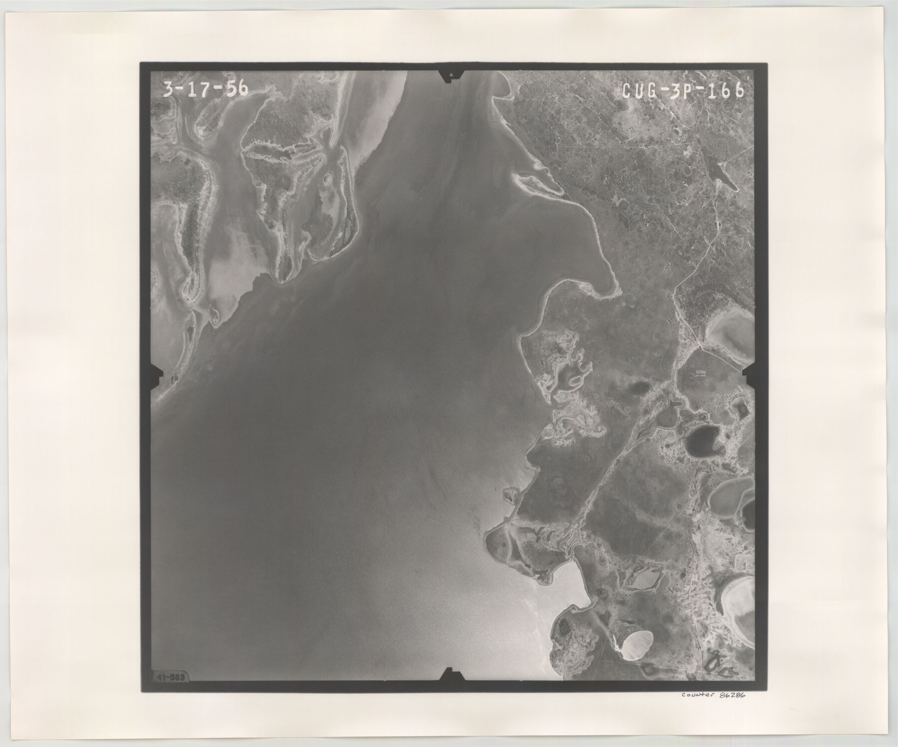
Flight Mission No. CUG-3P, Frame 166, Kleberg County
CUG-3P-166
-
Map/Doc
86286
-
Collection
General Map Collection
-
Object Dates
1956/3/17 (Creation Date)
-
People and Organizations
U. S. Department of Agriculture (Publisher)
-
Counties
Kleberg
-
Subjects
Aerial Photograph
-
Height x Width
18.6 x 22.3 inches
47.2 x 56.6 cm
-
Comments
Flown by V. L. Beavers and Associates of San Antonio, Texas.
Part of: General Map Collection
Bailey County Sketch File 19

Print $8.00
- Digital $50.00
Bailey County Sketch File 19
1882
Size 13.2 x 8.4 inches
Map/Doc 13987
Old Miscellaneous File 33

Print $4.00
- Digital $50.00
Old Miscellaneous File 33
1874
Size 9.8 x 8.1 inches
Map/Doc 75753
Dimmit County Rolled Sketch CHM

Print $20.00
- Digital $50.00
Dimmit County Rolled Sketch CHM
1935
Size 38.4 x 43.4 inches
Map/Doc 8795
Lipscomb County Working Sketch 5

Print $20.00
- Digital $50.00
Lipscomb County Working Sketch 5
1977
Size 26.8 x 30.0 inches
Map/Doc 70581
Brazoria County NRC Article 33.136 Sketch 17

Print $88.00
- Digital $50.00
Brazoria County NRC Article 33.136 Sketch 17
2015
Size 22.0 x 34.0 inches
Map/Doc 95020
Map of the Surveyed Part of Young District

Print $40.00
- Digital $50.00
Map of the Surveyed Part of Young District
1860
Size 56.3 x 32.6 inches
Map/Doc 87373
Sutton County Working Sketch 36

Print $20.00
- Digital $50.00
Sutton County Working Sketch 36
1945
Size 31.3 x 25.4 inches
Map/Doc 62379
Jackson County Sketch File 1

Print $4.00
- Digital $50.00
Jackson County Sketch File 1
1859
Size 9.9 x 7.6 inches
Map/Doc 27617
Webb County Working Sketch 27

Print $20.00
- Digital $50.00
Webb County Working Sketch 27
1932
Size 24.0 x 19.5 inches
Map/Doc 72392
The Coast of Texas

Print $20.00
- Digital $50.00
The Coast of Texas
1844
Size 18.3 x 26.9 inches
Map/Doc 72698
Boundary between State of Texas and State of Louisiana from the 32nd Parallel South into the Gulf of Mexico

Print $326.00
Boundary between State of Texas and State of Louisiana from the 32nd Parallel South into the Gulf of Mexico
1977
Size 11.1 x 8.0 inches
Map/Doc 7710
Wichita County

Print $20.00
- Digital $50.00
Wichita County
1924
Size 33.7 x 40.2 inches
Map/Doc 63123
You may also like
Duval County Working Sketch 56

Print $20.00
- Digital $50.00
Duval County Working Sketch 56
1989
Size 26.7 x 27.2 inches
Map/Doc 68780
Crockett County Sketch File 89

Print $40.00
- Digital $50.00
Crockett County Sketch File 89
1958
Size 12.7 x 13.5 inches
Map/Doc 19916
Flight Mission No. DQN-1K, Frame 71, Calhoun County

Print $20.00
- Digital $50.00
Flight Mission No. DQN-1K, Frame 71, Calhoun County
1953
Size 18.9 x 22.5 inches
Map/Doc 84158
Hood County Sketch File 6

Print $4.00
- Digital $50.00
Hood County Sketch File 6
Size 7.2 x 6.1 inches
Map/Doc 26579
Gulf of Mexico

Print $20.00
- Digital $50.00
Gulf of Mexico
1946
Size 36.2 x 43.7 inches
Map/Doc 73550
Ector County Rolled Sketch 7

Print $20.00
- Digital $50.00
Ector County Rolled Sketch 7
1936
Size 37.1 x 30.4 inches
Map/Doc 5778
Map of Atascosa Co.

Print $40.00
- Digital $50.00
Map of Atascosa Co.
1894
Size 48.3 x 46.6 inches
Map/Doc 4877
Hamilton County Working Sketch 35

Print $20.00
- Digital $50.00
Hamilton County Working Sketch 35
Size 26.3 x 19.1 inches
Map/Doc 78286
Edwards County Sketch File 38

Print $22.00
- Digital $50.00
Edwards County Sketch File 38
1937
Size 11.2 x 8.6 inches
Map/Doc 21773
Palo Pinto County

Print $20.00
- Digital $50.00
Palo Pinto County
1898
Size 44.8 x 38.0 inches
Map/Doc 66964
Upton County Sketch File 28

Print $5.00
- Digital $50.00
Upton County Sketch File 28
1929
Size 22.8 x 31.8 inches
Map/Doc 12521
Brewster County Rolled Sketch 19A

Print $20.00
- Digital $50.00
Brewster County Rolled Sketch 19A
1881
Size 31.5 x 38.6 inches
Map/Doc 8471